Coed y Frena
Wood, Forest in Carmarthenshire
Wales
Coed y Frena
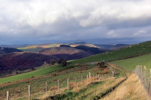
Coed y Frena is a picturesque woodland area located in Carmarthenshire, Wales. Covering an area of approximately 200 acres, it is known for its diverse range of flora and fauna, making it a popular destination for nature enthusiasts and hikers alike.
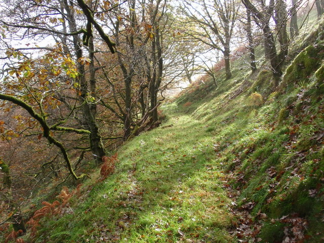
The woodland is predominantly composed of deciduous trees such as oak, beech, and birch, creating a vibrant and colorful landscape throughout the seasons. The forest floor is adorned with a variety of wildflowers, adding to the beauty of the area.
Coed y Frena is home to a wide range of wildlife, including mammals such as deer, foxes, and badgers. It is also a haven for bird species, with regular sightings of woodpeckers, tits, and owls. Nature lovers can enjoy birdwatching and wildlife spotting opportunities throughout the woodland.
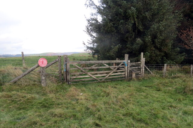
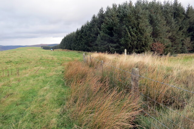
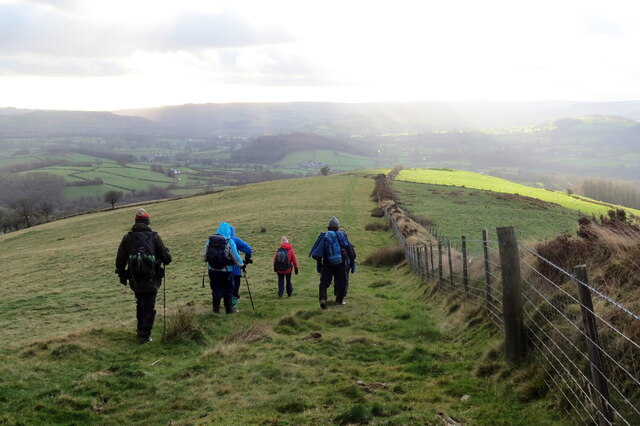
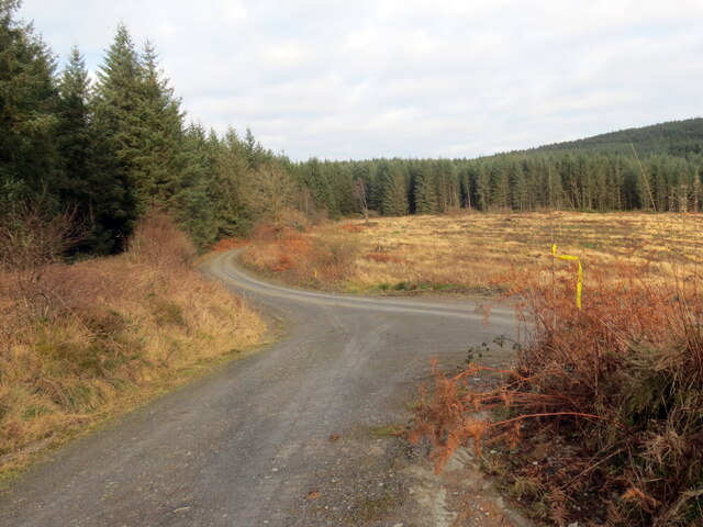
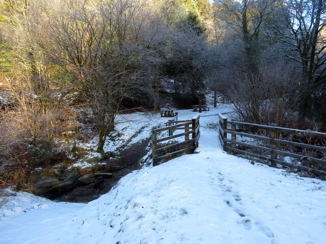
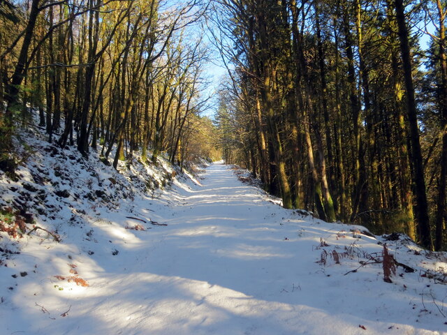
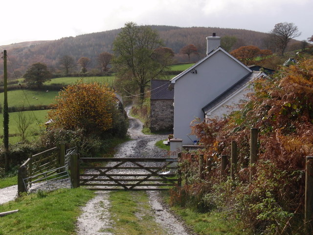
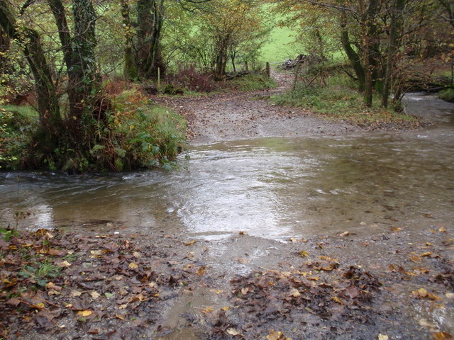
The forest is crisscrossed with a network of well-maintained trails, making it easy for visitors to explore and appreciate the natural surroundings. These paths lead to various points of interest, including a tranquil river and a small waterfall, providing peaceful spots for relaxation and reflection.
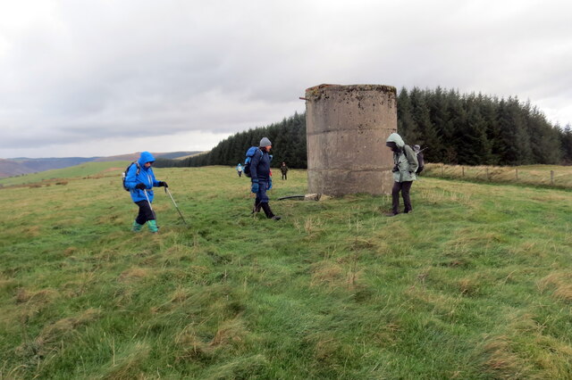
Coed y Frena is not only a place of natural beauty but also holds historical significance. The remains of an Iron Age hillfort can be found within the woodland, offering a glimpse into the area's ancient past.
Overall, Coed y Frena is a captivating woodland retreat that offers a mix of natural beauty, wildlife encounters, and historical intrigue, making it a must-visit destination for nature lovers and history enthusiasts alike.
If you have any feedback on the listing, please let us know in the comments section below.
Coed y Frena Images
Images are sourced within 2km of 52.043136/-3.9201551 or Grid Reference SN6840. Thanks to Geograph Open Source API. All images are credited.
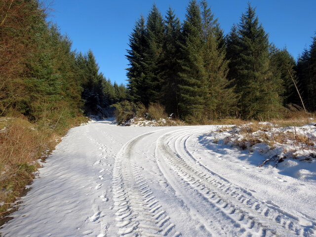
![Llwybr yn gadael yr heol / Path exiting the road Llwybr yn gadael heol fach ger Mwyngloddiau Aur Dolaucothi.
Path exiting a minor road near the Dolaucothi Goldmines (trans. Cothi [river] meadows).](https://s0.geograph.org.uk/geophotos/07/03/08/7030836_ae53f00f.jpg)
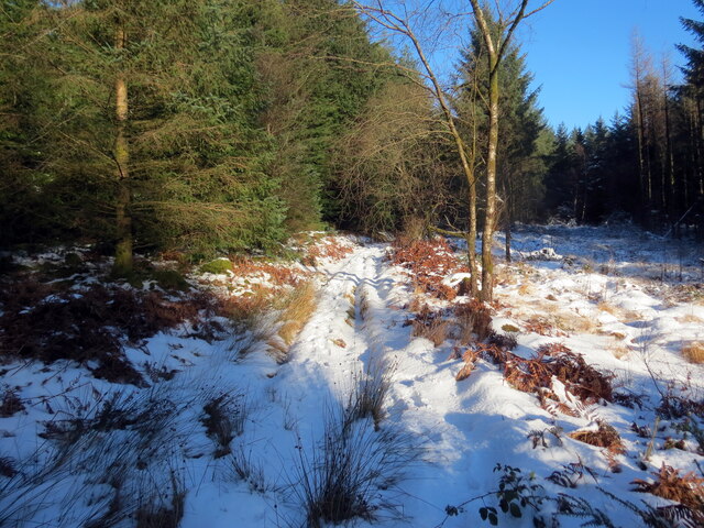
![Llwybr uwchben Caio / Path above Caio Llwybr cyhoeddus uwchben Caio ac yn sy'n mynd i gyfeiriad Cwm Cothi.
A public footpath above the village of Caio and heading towards Cwm Cothi (trans. [river] Cothi valley).](https://s1.geograph.org.uk/geophotos/07/38/65/7386501_ee6ae911.jpg)
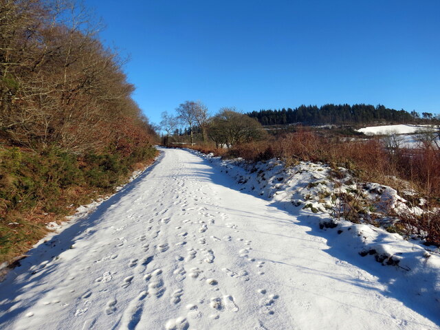
![Tuag at Gwm Cothi / Towards Cwm Cothi Llwybr troed cyhoeddus yn mynd i lawr y waered tuag ay Gwm Cothi.
A public footpath descending towards Cwm Cothi (trans. [river] Cothi valley).](https://s3.geograph.org.uk/geophotos/07/38/65/7386503_933f9711.jpg)
Coed y Frena is located at Grid Ref: SN6840 (Lat: 52.043136, Lng: -3.9201551)
Unitary Authority: Carmarthenshire
Police Authority: Dyfed Powys
What 3 Words
///frown.publish.brush. Near Llansawel, Carmarthenshire
Nearby Locations
Related Wikis

Caio, Carmarthenshire
Caio (or Caeo) is a village in the county of Carmarthenshire, south-west Wales, sited near to the Dolaucothi Gold Mines. == Location == It is located between...

Aberbowlan
Aberbowlan is a small village in Carmarthenshire. It is located in the north of the county, 8 miles (13 km) to the north-east of the town of Llandovery...

Dolaucothi Gold Mines
The Dolaucothi Gold Mines (pronounced [ˌdɔlaiˈkɔθɪ]; Welsh: Mwynfeydd Aur Dolaucothi) (grid reference SN662403), also known as the Ogofau Gold Mine, are...

Dolaucothi Estate
The Dolaucothi Estate (also Dolaucothy) is situated about 1 mile (1.6 km) north-west of the village of Caio up the Cothi Valley in the community of Cynwyl...
Nearby Amenities
Located within 500m of 52.043136,-3.9201551Have you been to Coed y Frena?
Leave your review of Coed y Frena below (or comments, questions and feedback).