Allt Werndriw
Wood, Forest in Cardiganshire
Wales
Allt Werndriw
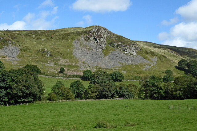
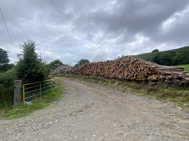
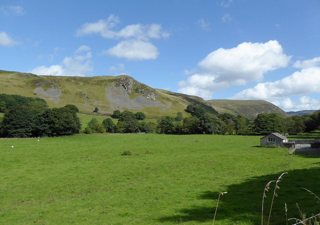
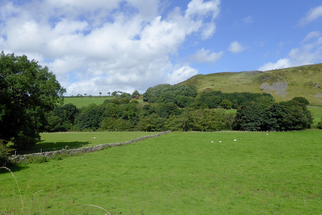
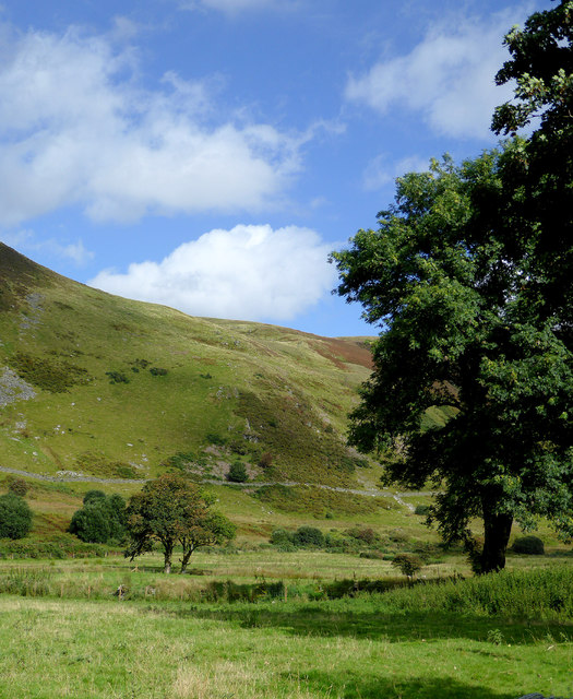
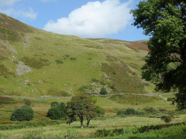
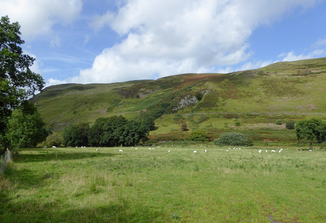
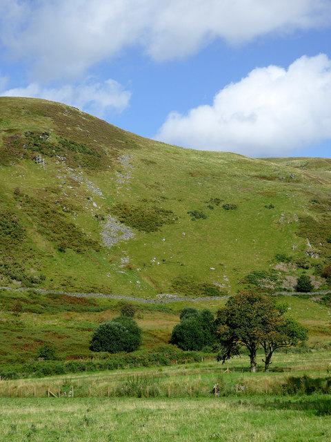
Allt Werndriw is a picturesque wood located in the county of Cardiganshire, Wales. Nestled amidst the stunning landscapes of the Cambrian Mountains, this forested area spans an approximate area of 200 hectares. The wood is renowned for its rich biodiversity and serves as an important habitat for various flora and fauna species.
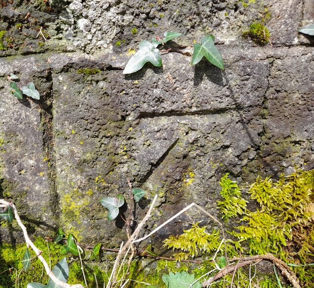
The dominant tree species in Allt Werndriw include oak, birch, and ash, which create a dense canopy that filters sunlight and creates a tranquil atmosphere. Beneath this canopy, a diverse undergrowth of ferns, bluebells, and wildflowers flourishes, adding vibrant colors to the forest floor.
The wood is intersected by a network of footpaths and trails, making it a popular destination for hikers, nature enthusiasts, and birdwatchers. The peaceful ambiance and the abundant wildlife make it an ideal spot for photographers and artists seeking inspiration from nature.
Moreover, Allt Werndriw is home to a variety of wildlife, including red squirrels, badgers, and foxes. The forest is also known for its bird population, with species such as woodpeckers, owls, and songbirds frequently spotted. Ornithologists often visit the wood to observe and study the avian diversity.
Managed by the local authorities, Allt Werndriw offers educational programs and guided tours to promote environmental awareness and conservation. The wood also plays a crucial role in carbon sequestration and helps maintain the overall ecological balance in the region.
In conclusion, Allt Werndriw in Cardiganshire is a captivating forest that offers a serene escape into nature. With its diverse flora, abundant wildlife, and recreational opportunities, it is a cherished natural gem in Wales.
If you have any feedback on the listing, please let us know in the comments section below.
Allt Werndriw Images
Images are sourced within 2km of 52.17377/-3.9648403 or Grid Reference SN6554. Thanks to Geograph Open Source API. All images are credited.
Allt Werndriw is located at Grid Ref: SN6554 (Lat: 52.17377, Lng: -3.9648403)
Unitary Authority: Ceredigion
Police Authority: Dyfed Powys
What 3 Words
///trick.landings.unlisted. Near Tregaron, Ceredigion
Nearby Locations
Related Wikis
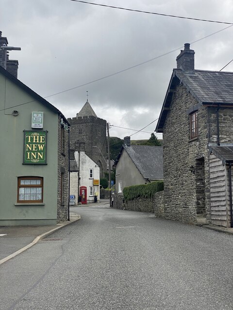
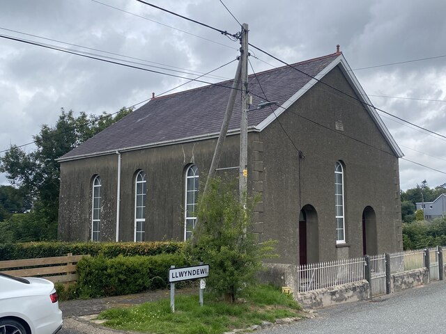
Llanddewi Brefi
Llanddewi Brefi (Welsh pronunciation: [ɬanˈðɛwi ˈbrɛvi]) is a village, parish and community of approximately 500 people in Ceredigion, Wales. The village...

St David's Church, Llanddewi Brefi
St David's Church is a Grade II* listed medieval church in the Welsh village of Llanddewi Brefi, 3 miles south of Tregaron in the county of Ceredigion...
Pentre-rhew
Pentre-rhew is a hamlet in the community of Llanddewibrefi, Ceredigion, Wales, which is 58.3 miles (93.9 km) from Cardiff and 169.6 miles (272.9 km) from...
Gogoyan
Gogoyan is a hamlet in the community of Llanddewibrefi, Ceredigion, Wales, which is 58.9 miles (94.8 km) from Cardiff and 171.1 miles (275.3 km) from...
Pont Llanio railway station
Pont Llanio railway station was a railway station in Wales on the former Carmarthen to Aberystwyth Line near Llanddewi Brefi. The railway station was built...
Cockshead
Cockshead is a small village in the community of Llanddewi Brefi, Ceredigion, Wales, which is 59.9 miles (96.3 km) from Cardiff and 171.9 miles (276.5...
Olmarch Halt railway station
Olmarch Halt railway station, previously served the hamlet and rural locale of Olmarch near Llanddewi-Brefi and Pont Llanio on the Carmarthen Aberystwyth...
Olmarch
Olmarch is a hamlet in the community of Llangybi, Ceredigion, Wales, which is 59.9 miles (96.4 km) from Cardiff and 172.1 miles (277 km) from London. Olmarch...
Nearby Amenities
Located within 500m of 52.17377,-3.9648403Have you been to Allt Werndriw?
Leave your review of Allt Werndriw below (or comments, questions and feedback).