Coed Pen-y-cwm
Wood, Forest in Cardiganshire
Wales
Coed Pen-y-cwm
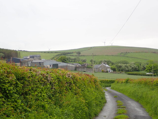
Coed Pen-y-cwm is a stunning woodland located in the county of Cardiganshire, Wales. Spanning over a vast area, this forest is a haven for nature enthusiasts and outdoor adventurers alike. The woodland boasts a diverse range of tree species, including oak, beech, and birch, creating a vibrant tapestry of colors throughout the year.
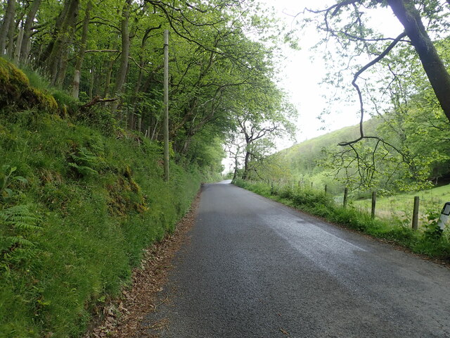
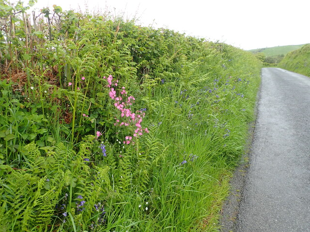
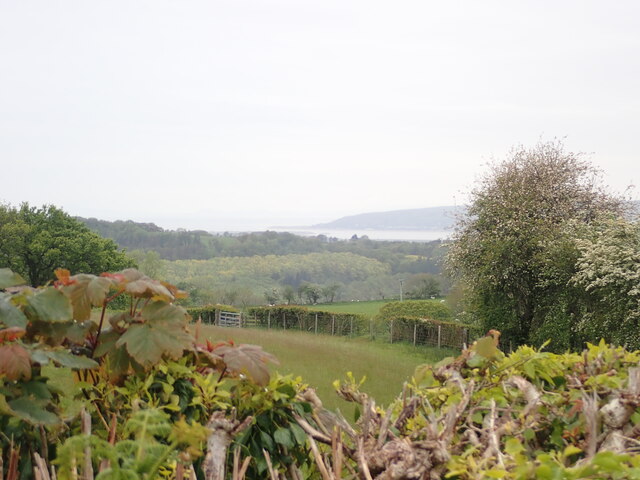
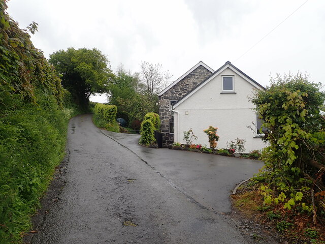
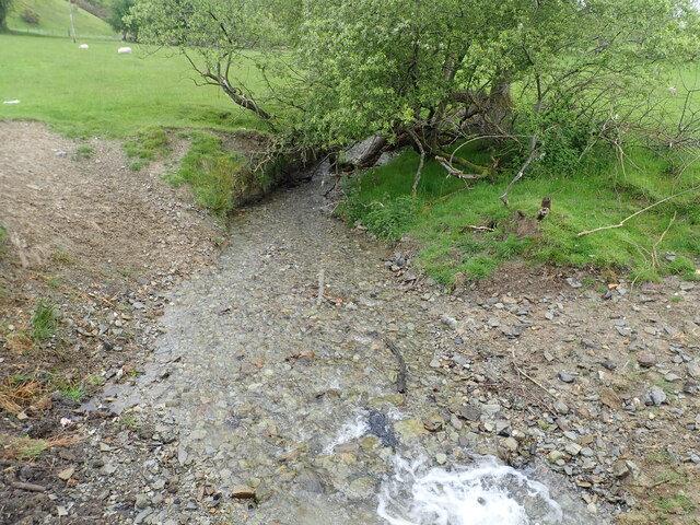
Situated in a rural setting, Coed Pen-y-cwm offers a tranquil escape from the hustle and bustle of modern life. The forest is crisscrossed by numerous walking trails, allowing visitors to explore its hidden treasures at their own pace. These trails meander through dense foliage and alongside babbling brooks, providing a sense of serenity and connection with nature.
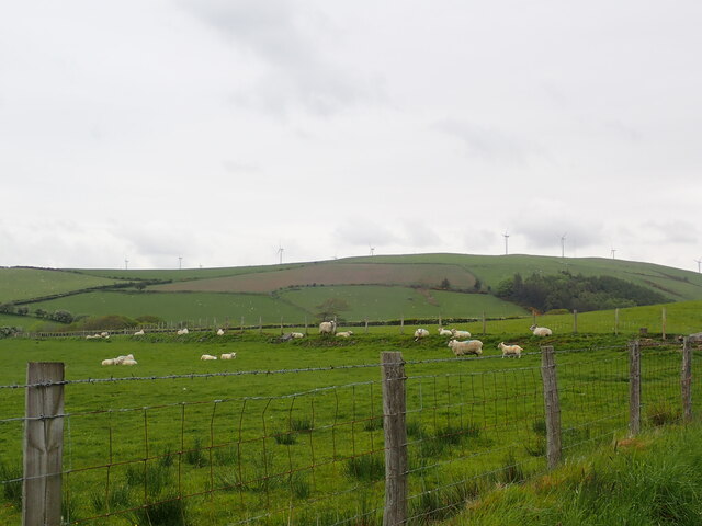
Wildlife thrives within Coed Pen-y-cwm, with an array of creatures calling this woodland home. Birdwatchers will be delighted by the variety of avian species, including woodpeckers, owls, and warblers. The forest is also inhabited by mammals such as foxes, badgers, and deer, adding to the rich biodiversity of the area.
Coed Pen-y-cwm is not only a natural wonderland but also a place of historical significance. The woodland has remnants of ancient settlements and archaeological sites, offering a glimpse into the past. Visitors can explore these historical features while immersing themselves in the beauty of the surrounding landscape.
Whether it's a leisurely stroll, a picnic amidst nature, or an adventure-filled hike, Coed Pen-y-cwm has something to offer for everyone. With its breathtaking scenery and peaceful ambiance, this forest is a true gem of Cardiganshire, inviting visitors to connect with nature and indulge in its wonders.
If you have any feedback on the listing, please let us know in the comments section below.
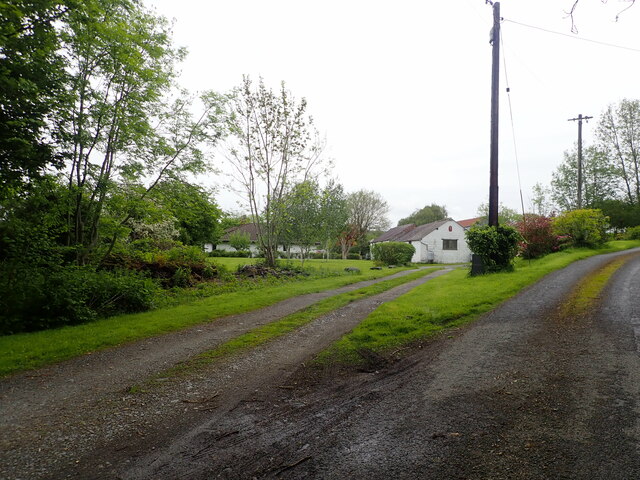
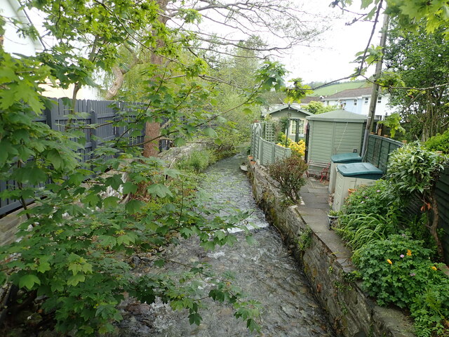
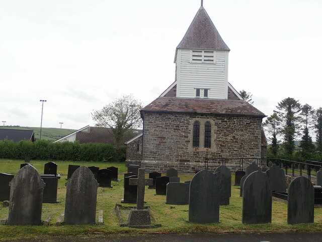
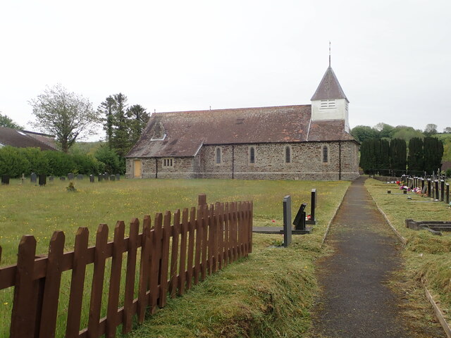
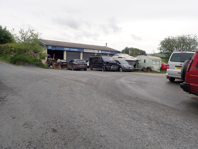
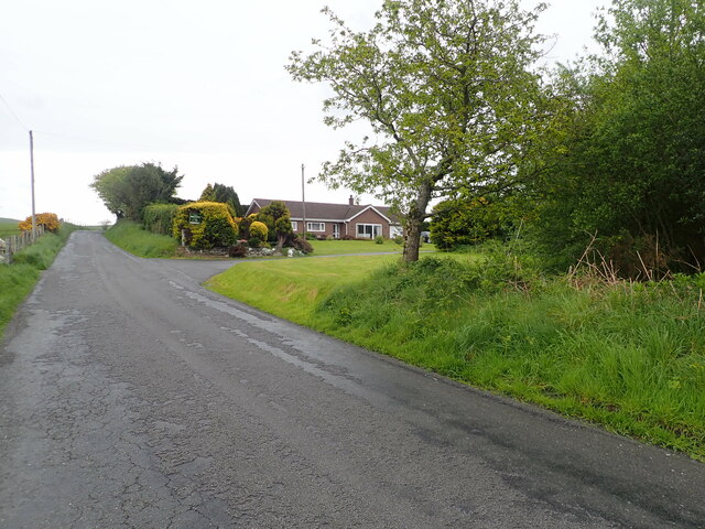
Coed Pen-y-cwm Images
Images are sourced within 2km of 52.449581/-3.989282 or Grid Reference SN6485. Thanks to Geograph Open Source API. All images are credited.


Coed Pen-y-cwm is located at Grid Ref: SN6485 (Lat: 52.449581, Lng: -3.989282)
Unitary Authority: Ceredigion
Police Authority: Dyfed Powys
What 3 Words
///juggles.topmost.however. Near Bow Street, Ceredigion
Nearby Locations
Related Wikis

Garth, Ceredigion
Garth, Ceredigion is a small village in the community of Trefeurig, Ceredigion, Wales, which is 74.6 miles (120.1 km) from Cardiff and 176.3 miles (283...
Penrhyn-coch
Penrhyn-coch is a small Welsh village, in the community of Trefeurig, Ceredigion, located between the Afon Stewi and Nant Seilo rivers, close to where...
Penrhyncoch F.C.
Penrhyncoch Football Club (Welsh: Clwb Pêl Droed Penrhyncoch) is a semi-professional football club based in Penrhyn-coch, Ceredigion, Wales. They currently...

Trefeurig
Trefeurig is a community in Mid and West Wales, situated around 4 miles (6.4 km) north-east of Aberystwyth. It is a site of particular prehistoric, Roman...
Nearby Amenities
Located within 500m of 52.449581,-3.989282Have you been to Coed Pen-y-cwm?
Leave your review of Coed Pen-y-cwm below (or comments, questions and feedback).