Coed Siglen
Wood, Forest in Merionethshire
Wales
Coed Siglen
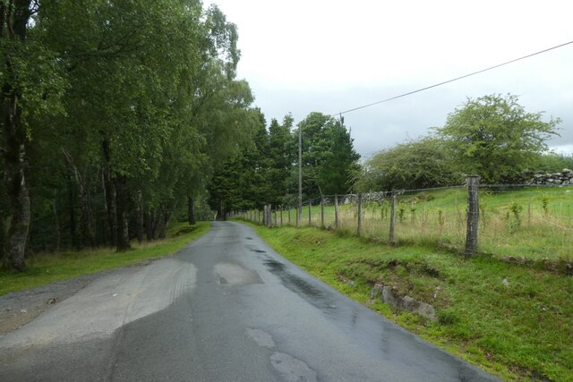
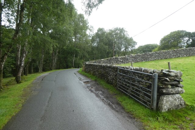
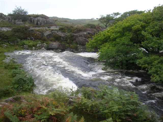
Coed Siglen is a picturesque woodland area located in Merionethshire, a county in northwest Wales. This serene forest is renowned for its natural beauty and diverse ecosystem, attracting nature enthusiasts and outdoor adventurers alike.
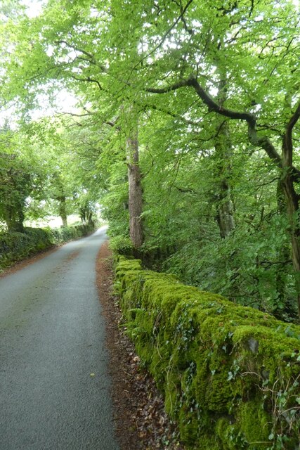
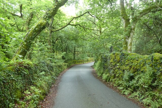
Covering an expansive area, Coed Siglen is predominantly composed of mature broadleaf trees, including oak, beech, and birch, which create a lush and vibrant environment. The woodland floor is adorned with a carpet of wildflowers and ferns, providing a visually stunning backdrop.
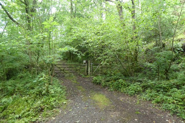
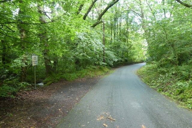
The forest is crisscrossed with well-maintained trails, allowing visitors to explore its enchanting atmosphere. These pathways range in difficulty, accommodating both casual strollers and more experienced hikers. As visitors meander through Coed Siglen, they are treated to breathtaking vistas and the soothing sounds of chirping birds and rustling leaves.
The forest is home to a rich variety of wildlife, making it an ideal spot for bird watching and nature photography. Keen observers may spot rare species such as red kites, buzzards, and woodpeckers, as well as a plethora of woodland creatures including deer, foxes, and squirrels.
For those seeking a tranquil escape from the hustle and bustle of daily life, Coed Siglen offers several picnic areas where visitors can relax and enjoy a meal surrounded by nature's splendor. Additionally, the forest provides educational opportunities, with informative signs dotted along the trails, providing insights into the local flora and fauna.
Coed Siglen is truly a hidden gem in Merionethshire, offering a serene and captivating experience for all who venture into its wooded embrace.
If you have any feedback on the listing, please let us know in the comments section below.
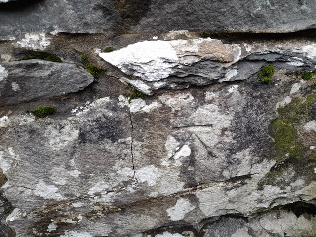
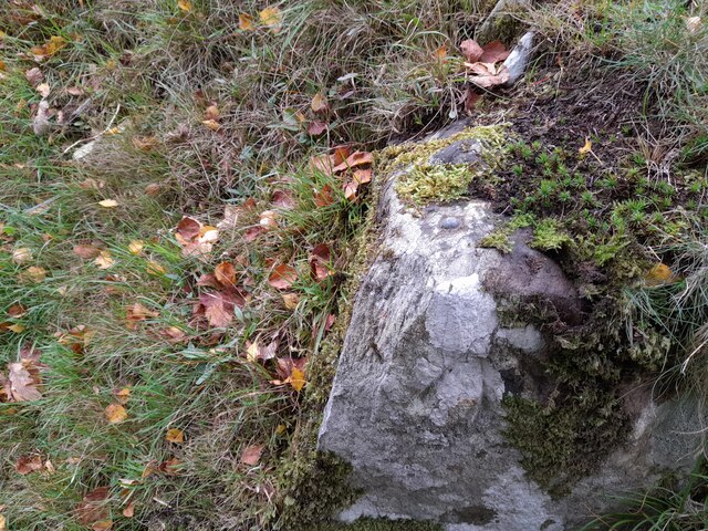
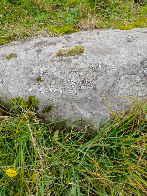
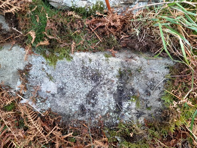
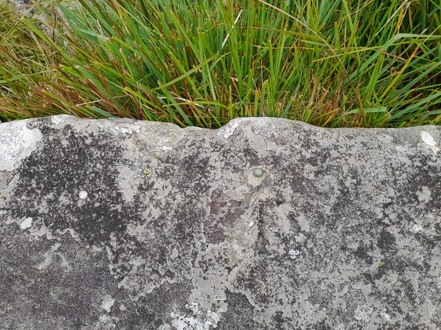
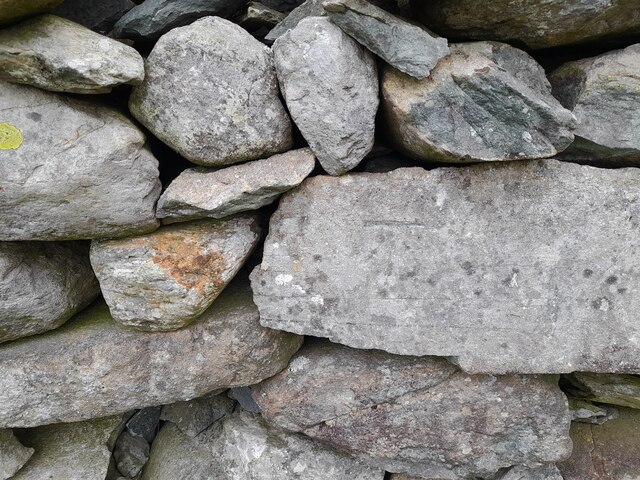
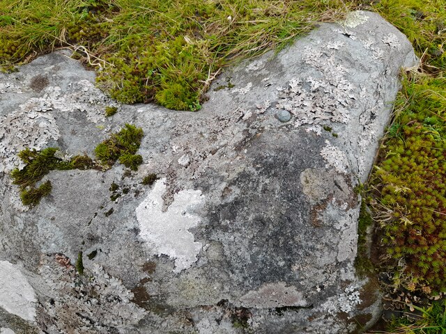
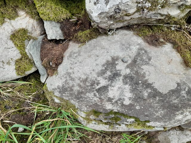
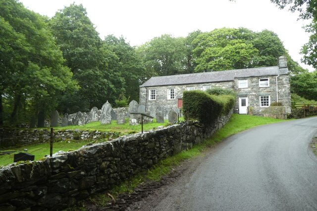
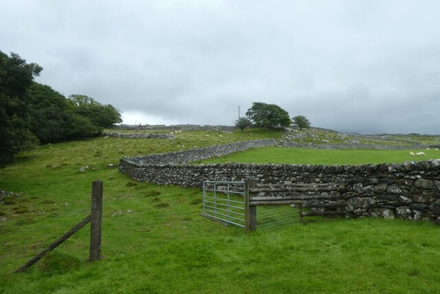
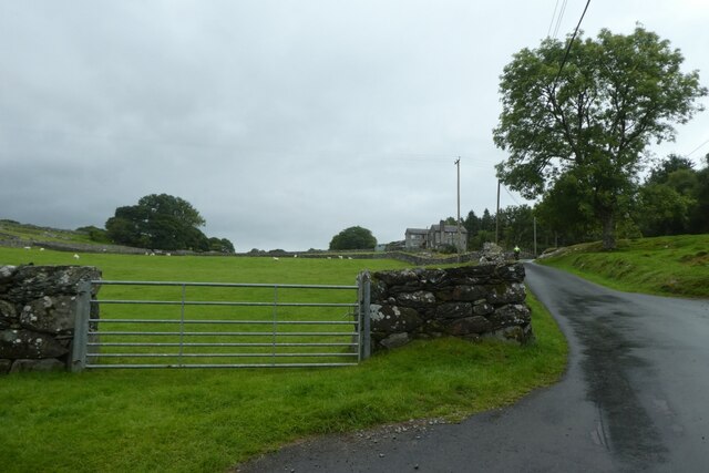
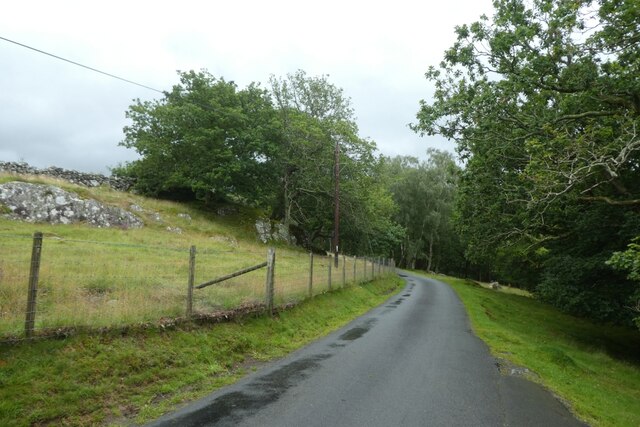
Coed Siglen Images
Images are sourced within 2km of 52.813052/-4.0879616 or Grid Reference SH5925. Thanks to Geograph Open Source API. All images are credited.
Coed Siglen is located at Grid Ref: SH5925 (Lat: 52.813052, Lng: -4.0879616)
Unitary Authority: Gwynedd
Police Authority: North Wales
What 3 Words
///emotional.cringes.down. Near Llanbedr, Gwynedd
Nearby Locations
Related Wikis
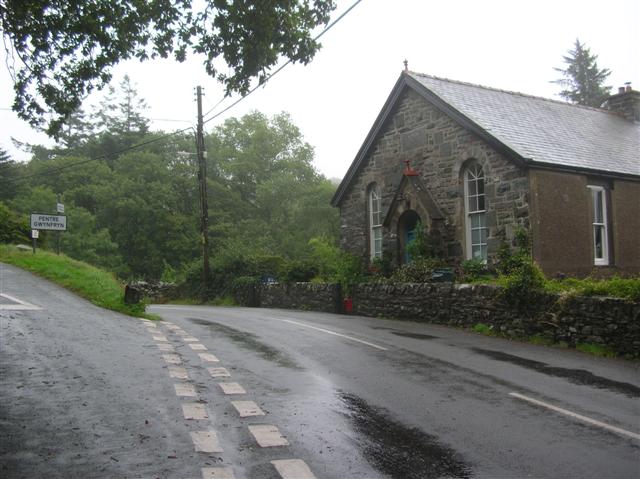
Pentre Gwynfryn
Pentre Gwynfryn is a village in the Ardudwy area of Gwynedd, Wales, about 1 mile (1.6 km) east of Llanbedr. The village is at the confluence of the River...
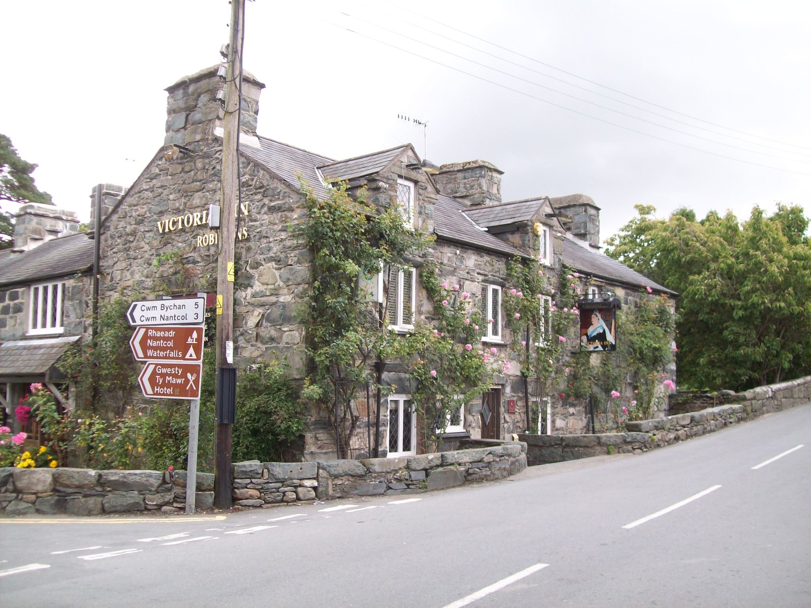
Llanbedr
Llanbedr () is a village and community 2.8 miles (4.5 km) south of Harlech. Administratively, it lies in the Ardudwy area, formerly Meirionnydd, of the...
Afon Cwmnantcol
The River Cwmnantcol (Afon Cwmnantcol in Welsh) is a river in North Wales. It is about 3 miles (5 kilometres) long and has its source at the head of Cwm...

Capel Salem, Llanbedr
Capel Salem is a Grade II listed building in the hamlet of Pentre Gwynfryn, near Llanbedr, Gwynedd, Wales. This Baptist chapel building is located about...
Nearby Amenities
Located within 500m of 52.813052,-4.0879616Have you been to Coed Siglen?
Leave your review of Coed Siglen below (or comments, questions and feedback).