Allt Aber-Cothi
Wood, Forest in Carmarthenshire
Wales
Allt Aber-Cothi
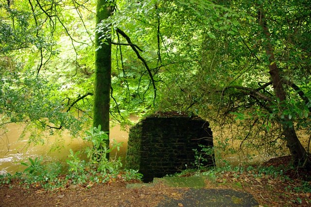
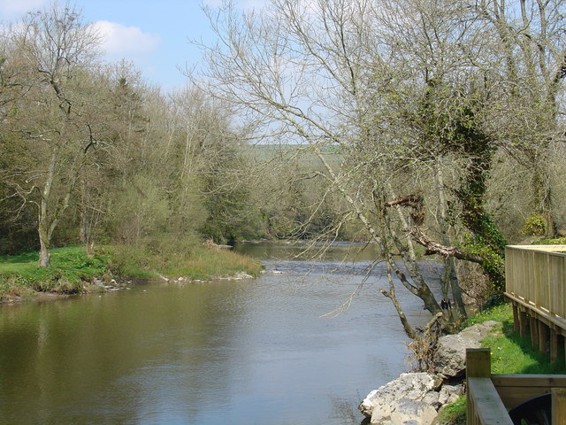
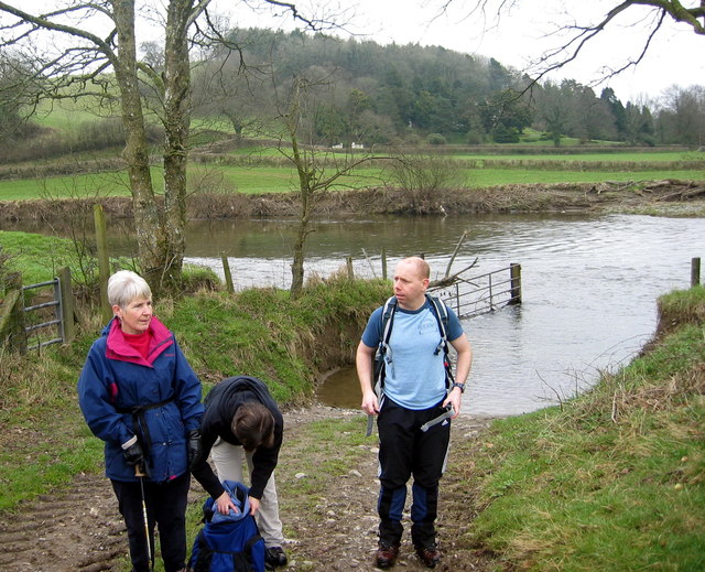
Allt Aber-Cothi is a picturesque woodland area located in Carmarthenshire, Wales. Situated in the heart of the Cothi Valley, it covers an area of approximately 500 acres and is known for its stunning natural beauty and diverse wildlife.
The woodland is predominantly made up of mixed deciduous trees, including oak, beech, and ash, which create a vibrant and ever-changing landscape throughout the seasons. The dense canopy provides a shady and tranquil environment, making it a popular destination for nature lovers, hikers, and birdwatchers.
The area is home to a wide variety of wildlife, including rare species such as red kites, buzzards, and otters. The Cothi River runs through the woodland, offering a habitat for numerous aquatic creatures and adding to the area's natural charm.
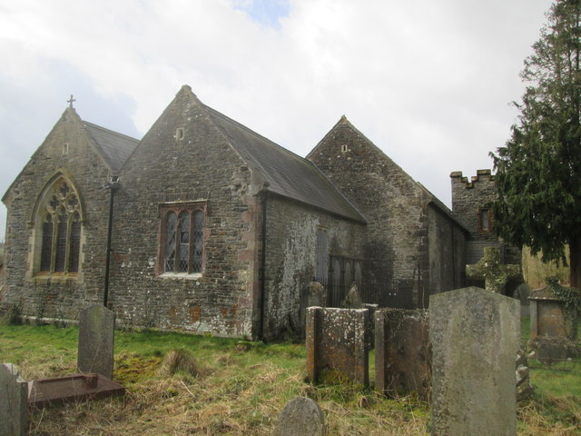
Allt Aber-Cothi is also steeped in history, with the remains of an ancient hillfort located within its boundaries. This archaeological site, known as Garn Goch, dates back to the Iron Age and provides a fascinating glimpse into the region's past.
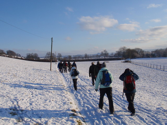
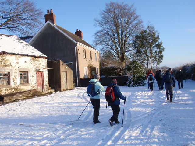
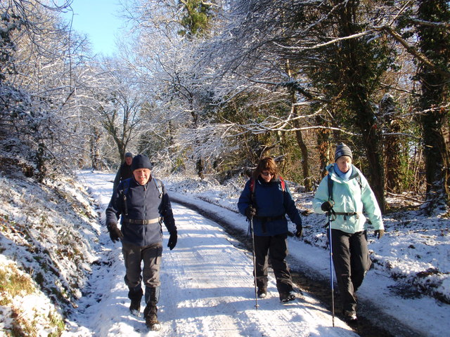
Visitors to Allt Aber-Cothi can enjoy a range of activities, including walking trails, picnicking, and wildlife spotting. The woodland is well-maintained, with clearly marked paths and informative signage to enhance the visitor experience.
Overall, Allt Aber-Cothi is a captivating woodland area that offers a peaceful retreat and an opportunity to connect with nature. Its combination of natural beauty, wildlife diversity, and historical significance make it a must-visit destination for both locals and tourists alike.
If you have any feedback on the listing, please let us know in the comments section below.
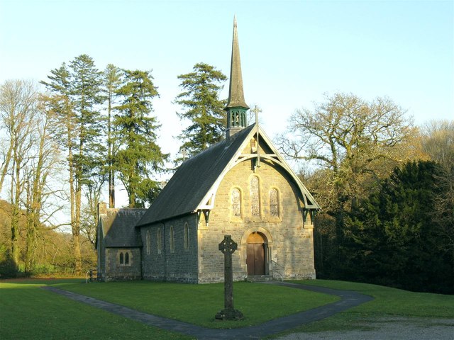
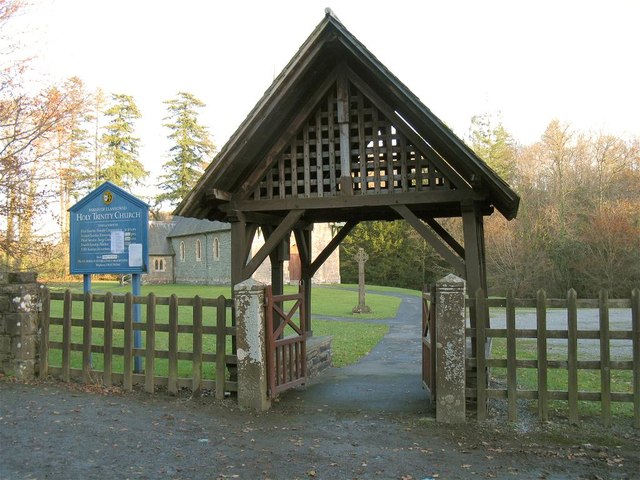
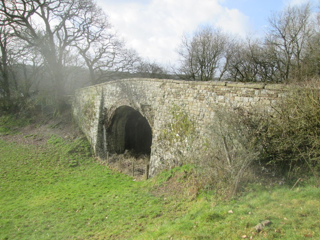
Allt Aber-Cothi Images
Images are sourced within 2km of 51.866609/-4.1697064 or Grid Reference SN5020. Thanks to Geograph Open Source API. All images are credited.
Allt Aber-Cothi is located at Grid Ref: SN5020 (Lat: 51.866609, Lng: -4.1697064)
Unitary Authority: Carmarthenshire
Police Authority: Dyfed Powys
What 3 Words
///propelled.weary.reach. Near Llanddarog, Carmarthenshire
Nearby Locations
Related Wikis

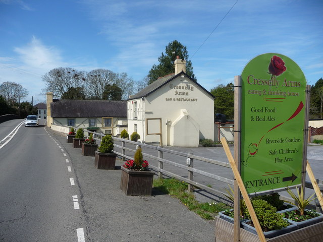
Pont-ar-Gothi
Pont-ar-gothi (otherwise Pontargothi or Cothi Bridge) is a village in Carmarthenshire, West Wales. The village takes its name from the bridge where the...

Afon Cothi
The Afon Cothi (also known as the River Cothy) in Carmarthenshire is the largest tributary of the River Tywi in south Wales. From its source at Blaen Cothi...

Llanegwad
Llanegwad () is a village and community located in Carmarthenshire, Wales. The population taken at the 2011 census was 1,473.Llanegwad is built up mainly...

Nantgaredig railway station
Nantgaredig railway station served to village of Nantgaredig, Carmarthenshire, Wales from 1865 to 1963 on the Llanelly Railway. == History == The station...
Nearby Amenities
Located within 500m of 51.866609,-4.1697064Have you been to Allt Aber-Cothi?
Leave your review of Allt Aber-Cothi below (or comments, questions and feedback).