Allt Abertegan

Wood, Forest in Cardiganshire

Wales

Allt Abertegan

Church of St Gwenog, Llanwenog
Church of St Gwenog, Llanwenog Credit: John Lord

Allt Abertegan is a picturesque wood located in the county of Cardiganshire, Wales. Situated on the slopes of a rolling hill, this forest offers a tranquil and enchanting retreat for nature lovers and outdoor enthusiasts.

Covering an area of approximately 50 hectares, Allt Abertegan is home to a diverse range of flora and fauna. The wood is predominantly composed of native trees such as oak, beech, and birch, which create a rich and vibrant canopy that provides shelter for various bird species. Visitors may spot woodland birds such as woodpeckers, thrushes, and warblers, as well as mammals like badgers and foxes.

Numerous walking trails wind their way through Allt Abertegan, allowing visitors to explore the wood's natural beauty at their own pace. These paths guide visitors through ancient woodland areas, carpeted with wildflowers in the spring, and along the banks of meandering streams. The peaceful ambiance makes it an ideal place for a leisurely stroll or a secluded picnic amidst nature.

Allt Abertegan is not only a haven for wildlife but also a site of historical significance. The wood has remnants of old charcoal platforms, providing a glimpse into its former industrial use. Moreover, the forest is part of the Cors Caron Nature Reserve, a protected area that is home to a variety of rare and endangered species.

Whether visitors come to admire the vibrant autumn foliage, listen to the chorus of birdsong, or simply immerse themselves in the tranquility of the natural surroundings, Allt Abertegan offers a magical woodland experience that delights all who visit.

If you have any feedback on the listing, please let us know in the comments section below.

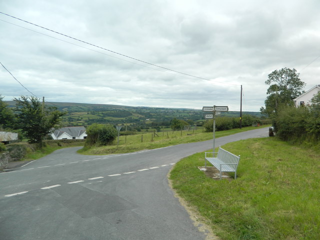
Allt Abertegan Images

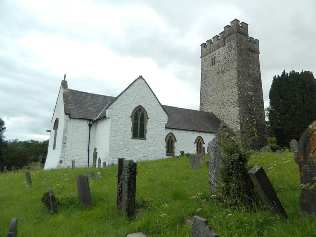
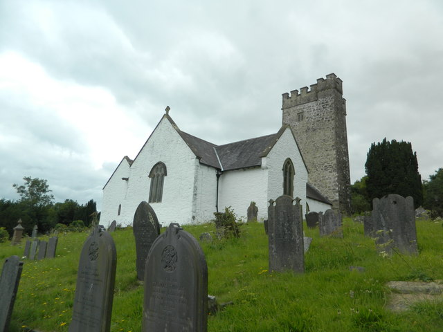
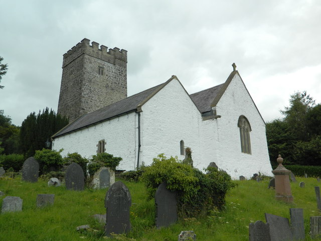
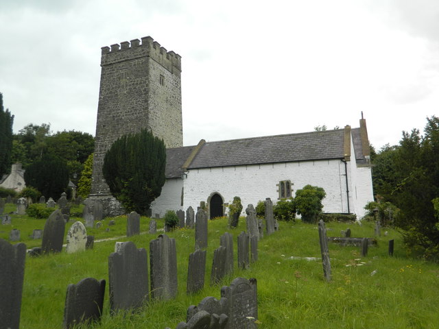
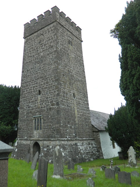
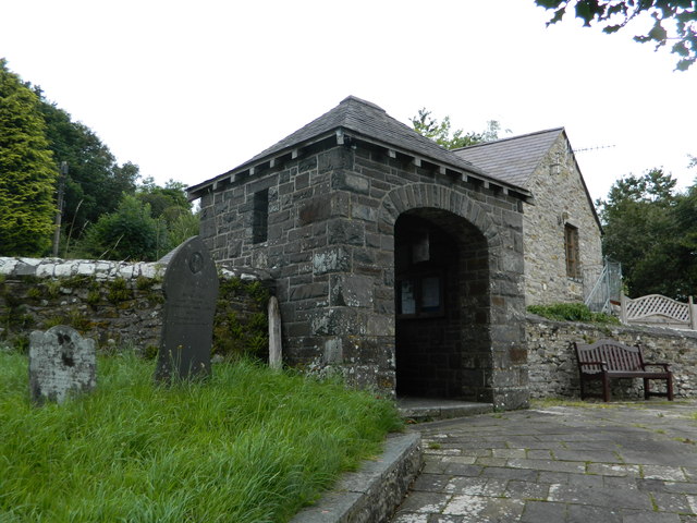
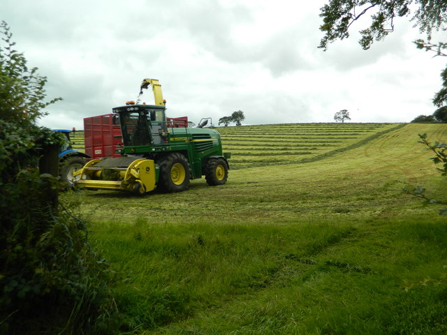
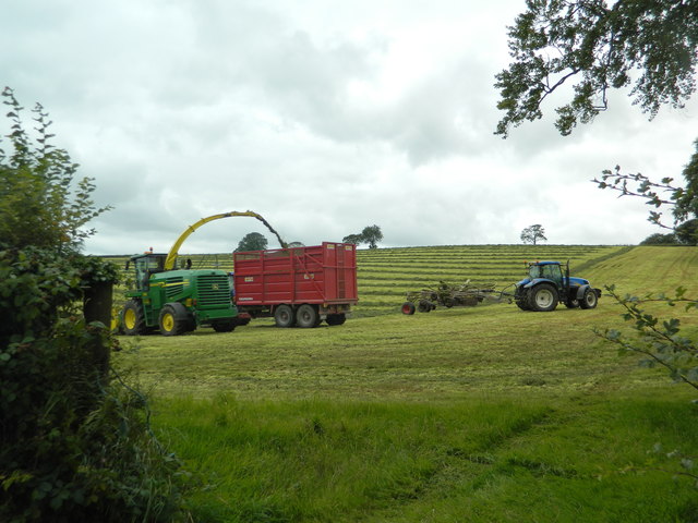
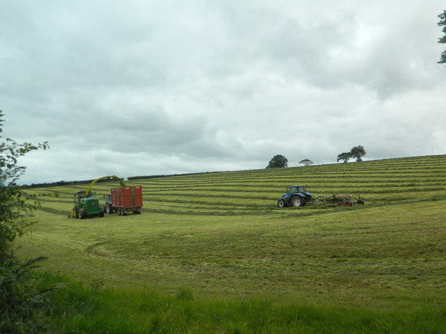
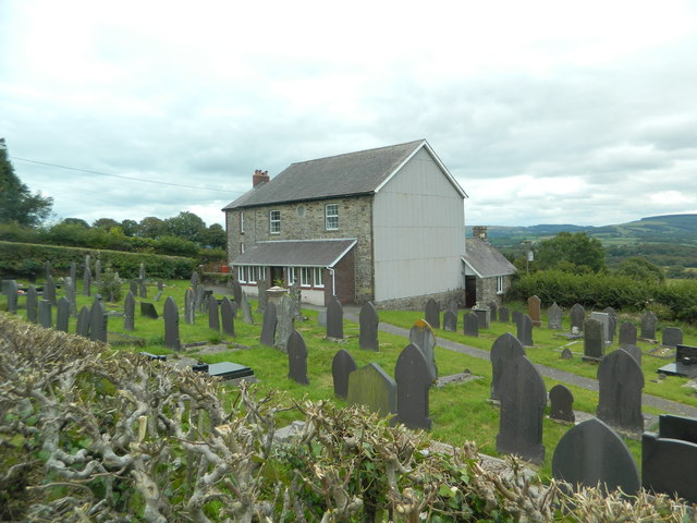
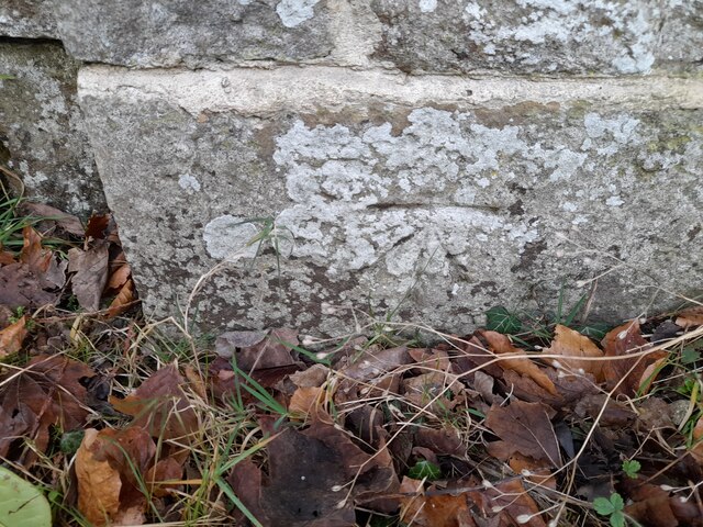
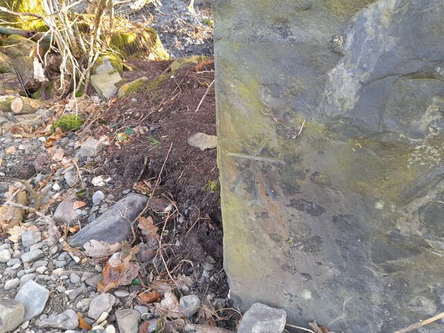
Images are sourced within 2km of 52.073388/-4.2069075 or Grid Reference SN4843. Thanks to Geograph Open Source API. All images are credited.

Church of St Gwenog, Llanwenog
Graveyard and Church of St Gwenog, Llanwenog
Church of St Gwenog, Llanwenog
Lichgate, St Gwenog's Church, Llanwenog
Llanwenog School
Llanwenog School
Gate and farmland, Llanwenog
Harvesting silage, between Llanwenog and  Brynteg
Harvesting silage, between Llanwenog and Brynteg
Graveyard and converted chapel, Brynteg
Crossroads, Brynteg
Crossroads, Brynteg
Ordnance Survey Cut Mark This OS cut mark can be found on the gatepost NW side of the road. It marks a point 219.543m above mean sea level.
Ordnance Survey Cut Mark
This OS cut mark can be found on the gatepost NW side of the road. It marks a point 219.543m above mean sea level.
Ordnance Survey Cut Mark This almost covered OS cut mark can be found on Penffordd. It marks a point 217.740m above mean sea level.
Ordnance Survey Cut Mark
This almost covered OS cut mark can be found on Penffordd. It marks a point 217.740m above mean sea level.
Ordnance Survey Cut Mark This OS cut mark can be found on the wall of Brynteg Chapel. It marks a point 168.034m above mean sea level.
Ordnance Survey Cut Mark
This OS cut mark can be found on the wall of Brynteg Chapel. It marks a point 168.034m above mean sea level.
Ordnance Survey Cut Mark This OS cut mark can be found on the gatepost south side of the road. It marks a point 121.951m above mean sea level.
Ordnance Survey Cut Mark
This OS cut mark can be found on the gatepost south side of the road. It marks a point 121.951m above mean sea level.
Ordnance Survey Cut Mark This OS cut mark can be found on the gatepost north side of the road.
Ordnance Survey Cut Mark
This OS cut mark can be found on the gatepost north side of the road.
Show me another place!

Allt Abertegan is located at Grid Ref: SN4843 (Lat: 52.073388, Lng: -4.2069075)

Unitary Authority: Ceredigion

Police Authority: Dyfed Powys

What 3 Words

///tonal.rephrase.crucially. Near Llandysul, Ceredigion

Nearby Locations

Allt Abertegan

Related Wikis

Have you been to Allt Abertegan?

Leave your review of Allt Abertegan below (or comments, questions and feedback).