Newton and Biggin

Civil Parish in Warwickshire Rugby

England

Newton and Biggin

A5 heading north The Roman Watling Street.
A5 heading north Credit: Robin Webster

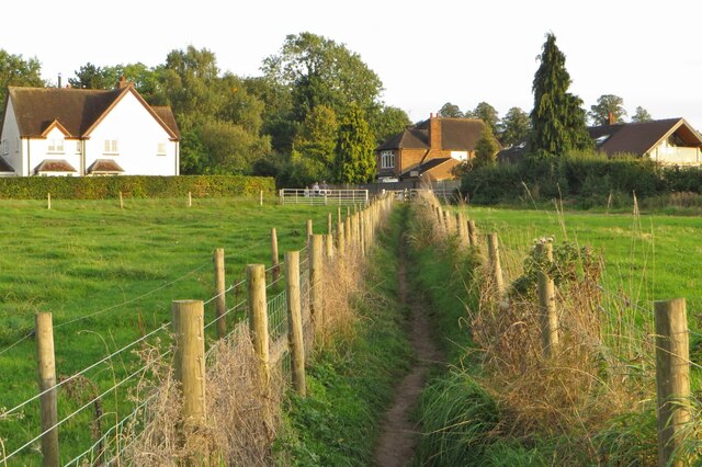
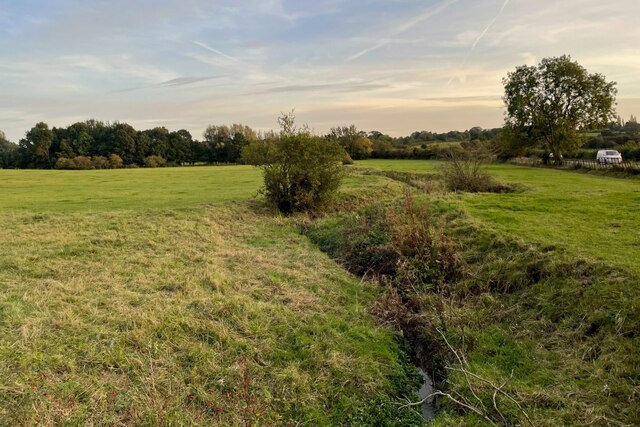
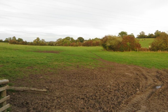
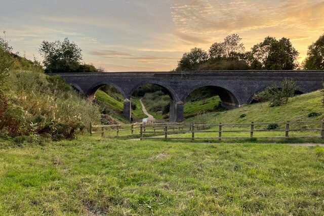
Newton and Biggin is a civil parish located in the county of Warwickshire, England. It is situated approximately 10 miles southeast of the town of Burton upon Trent and covers an area of around 3.5 square miles. The parish is predominantly rural and is surrounded by picturesque countryside, offering residents and visitors a peaceful and idyllic setting.

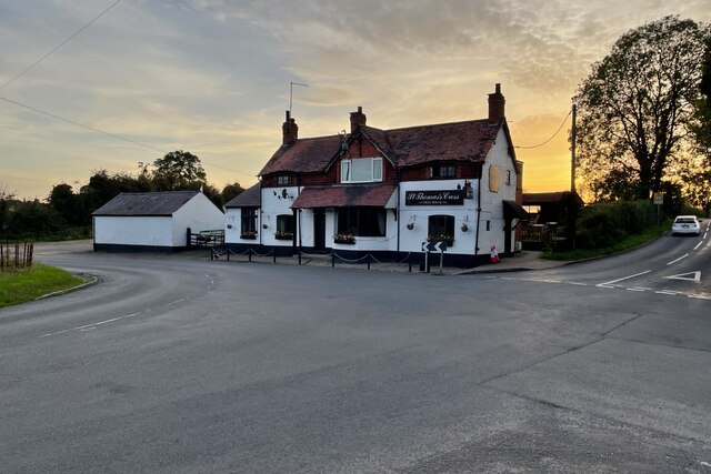
The parish is divided into two main villages: Newton and Biggin. Newton, the larger of the two, is home to a population of around 400 people. It features a quaint village center with a few local amenities, including a village hall and a small shop. The village is characterized by its charming cottages and traditional architecture, giving it a distinct rural character. Agriculture plays a significant role in the local economy, with several farms dotting the landscape.

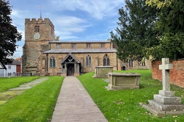
Biggin, on the other hand, is a smaller village with a population of around 200 people. It is known for its beautiful stone-built houses and its close-knit community atmosphere. The village is home to a historic church and a few small businesses, providing essential services for the residents.

Both Newton and Biggin benefit from their proximity to the nearby larger towns and cities, such as Burton upon Trent and Derby, which offer a wider range of amenities, employment opportunities, and cultural attractions.

Overall, Newton and Biggin offer a tranquil and charming countryside living experience, making it an attractive place for those seeking a peaceful rural lifestyle.

If you have any feedback on the listing, please let us know in the comments section below.

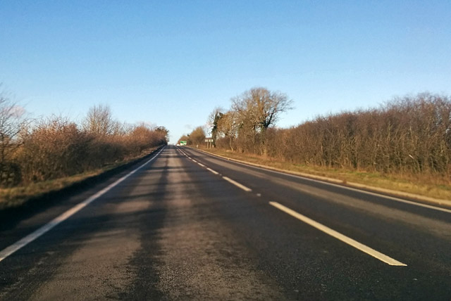
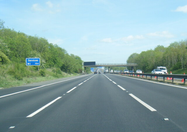
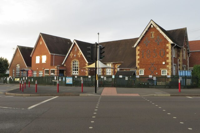
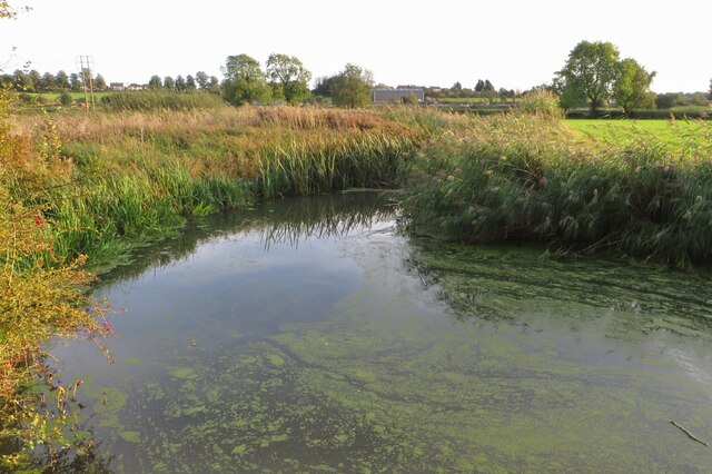
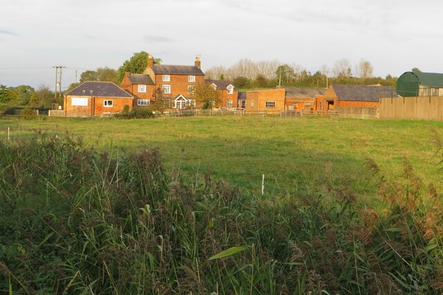
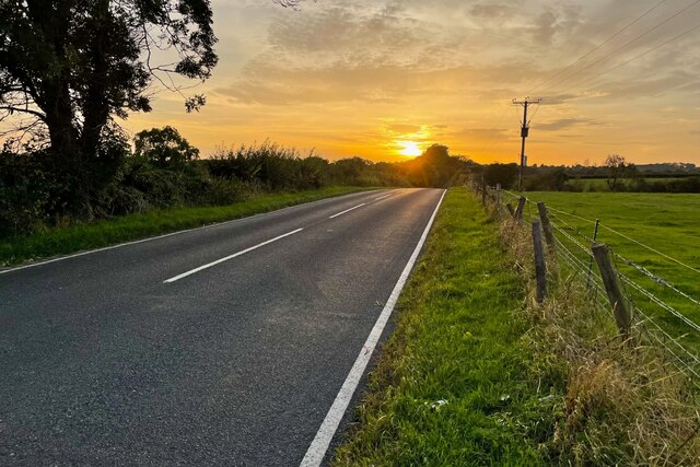
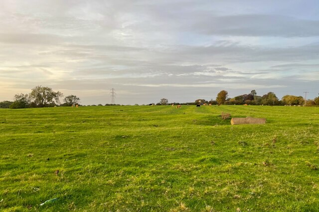
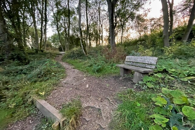
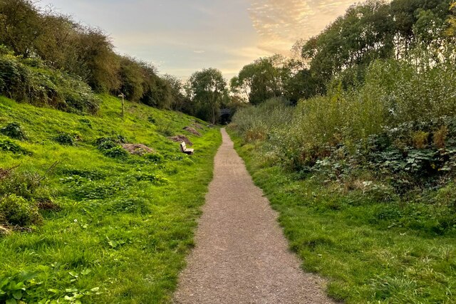
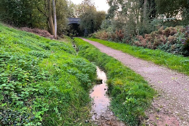
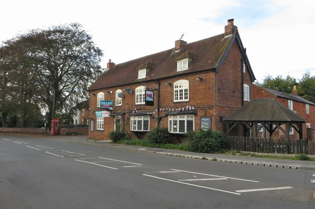
Newton and Biggin Images

Images are sourced within 2km of 52.400218/-1.220521 or Grid Reference SP5378. Thanks to Geograph Open Source API. All images are credited.

A5 heading north The Roman Watling Street.
A5 heading north
The Roman Watling Street.
M6 north-east of Rugby
C of E primary school
Shakespeare's Avon Way coming in to Clifton
River Avon near Clifton
Clifton Mill Farm
Clifton Mill Farm
Sunset on Newton Manor Lane
Grazing by Newton House Farm
Bench on the path through the woods
Footpath along the disused railway
Stream by the Great Central Walk
The Bull pub (closed)
St Mary's Church
St Mary's Church
St Thomas's Cross pub
Stream by Newton Road
Muddy farmland by Newton Road
Newton Lane Bridge and footpath
Newton Picnic Site
Newton Picnic Site
Show me another place!

Newton and Biggin is located at Grid Ref: SP5378 (Lat: 52.400218, Lng: -1.220521)

Administrative County: Warwickshire

District: Rugby

Police Authority: Warwickshire

What 3 Words

///people.pouch.scout. Near Rugby, Warwickshire

Nearby Locations

Newton and Biggin Newton

Related Wikis

Newton, Warwickshire

Newton is a small village in the civil parish of Newton and Biggin in the Rugby borough of Warwickshire, England. The civil parish population taken at...
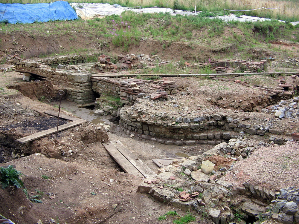
Tripontium

Tripontium (Latin for "Place of three bridges") was a town in Roman Britain. It lay on the Roman road later called Watling Street (and known today as the...

Dow Bridge

Dow Bridge is a location in the English Midlands where the A5 road (the former Roman Watling Street) crosses the River Avon. It is the point where the...
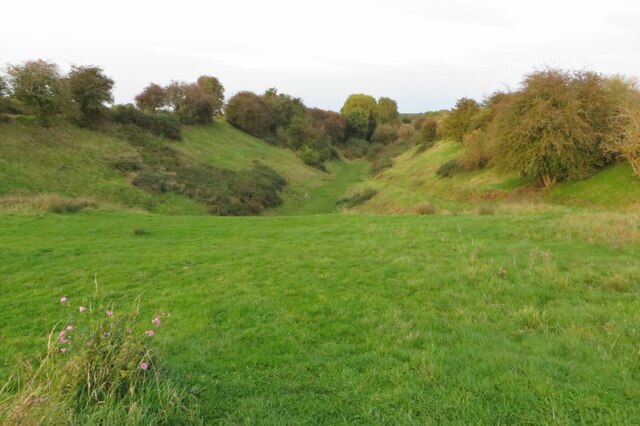
Cave's Inn Pits

Cave's Inn Pits is a 5.8-hectare (14-acre) biological Site of Special Scientific Interest south-west of Shawell in Leicestershire.These disused gravel...

Nearby Amenities

Located within 500m of 52.400218,-1.220521
Newton
Created By: Potlatch 0.10
Is In: Warwickshire
Place: village
Wikidata: Q645126
Lat/Long: 52.3985001/-1.2220157
Bus Stop
The Paddock
Bus: yes
Naptan AtcoCode: 4200F045700
Naptan Bearing: N
Naptan CommonName: The Paddock
Naptan Crossing: The Paddock
Naptan Indicator: Adj
Naptan NaptanCode: waramadj
Naptan PlusbusZoneRef: RUGBY
Naptan Street: Main Street
Naptan Verified: no
Public Transport: platform
Source: naptan_import
Lat/Long: 52.3984977/-1.2211518
Bus Stop
Newton Lane
Bus: yes
Naptan AtcoCode: 4200F131430
Naptan Bearing: W
Naptan CommonName: Newton Lane
Naptan Crossing: Newton Lane
Naptan Indicator: Jcn
Naptan NaptanCode: waratpma
Naptan Street: The Leys
Naptan Verified: no
Public Transport: platform
Source: naptan_import
Lat/Long: 52.4005376/-1.2220556
Post Box
Collection Times: Mo-Fr 16:00; Sa 10:15
Operator: Royal Mail
Post Box Type: lamp
Ref: CV23 104
Royal Cypher: EIIR
Royal Cypher Wikidata: Q33102113
Source: survey
Lat/Long: 52.3986663/-1.2211549
Information: guidepost
Mapillary: 2895160877481447
Tourism: information
Lat/Long: 52.3977981/-1.2228981
Barrier: kissing_gate
Foot: designated
Lat/Long: 52.4007913/-1.2225206
Barrier: height_restrictor
Maxheight Physical: 2.1
Lat/Long: 52.4023588/-1.2221163
Leisure: picnic_table
Lat/Long: 52.4032943/-1.2218804
Leisure: picnic_table
Lat/Long: 52.4032636/-1.2219301
Waste Basket
Lat/Long: 52.4031987/-1.2218461
Entrance: yes
Lat/Long: 52.4032018/-1.2218186
Waste Basket
Waste: dog_excrement
Lat/Long: 52.4029977/-1.2217251
Board Type: wildlife
Direction: 340
Information: board
Tourism: information
Lat/Long: 52.4026844/-1.222187
Watering Place
Lat/Long: 52.4014906/-1.2203616
Generator Method: photovoltaic
Generator Output Electricity: yes
Generator Source: solar
Generator Type: solar_photovoltaic_panel
Power: generator
Lat/Long: 52.398668/-1.2237418
Generator Method: photovoltaic
Generator Output Electricity: yes
Generator Source: solar
Generator Type: solar_photovoltaic_panel
Power: generator
Lat/Long: 52.3993783/-1.2234199
Generator Method: photovoltaic
Generator Output Electricity: yes
Generator Source: solar
Generator Type: solar_photovoltaic_panel
Power: generator
Lat/Long: 52.3986713/-1.2233448
Generator Method: photovoltaic
Generator Output Electricity: yes
Generator Source: solar
Generator Type: solar_photovoltaic_panel
Power: generator
Lat/Long: 52.3988791/-1.2230471
Generator Method: photovoltaic
Generator Output Electricity: yes
Generator Source: solar
Generator Type: solar_photovoltaic_panel
Power: generator
Lat/Long: 52.3991262/-1.2231115
Generator Method: photovoltaic
Generator Output Electricity: yes
Generator Source: solar
Generator Type: solar_photovoltaic_panel
Power: generator
Lat/Long: 52.3990035/-1.2226743
Generator Method: photovoltaic
Generator Output Electricity: yes
Generator Source: solar
Generator Type: solar_photovoltaic_panel
Power: generator
Lat/Long: 52.3987842/-1.222744
Power: pole
Lat/Long: 52.3964561/-1.2218642
Power: pole
Lat/Long: 52.3967613/-1.2204681
Power: pole
Lat/Long: 52.3970494/-1.2190908
Power: pole
Lat/Long: 52.3974381/-1.2180676
Power: pole
Lat/Long: 52.3978325/-1.2170094
Power: pole
Lat/Long: 52.3972809/-1.2179388
Power: pole
Lat/Long: 52.3965469/-1.2178986
Power: pole
Lat/Long: 52.397889/-1.2179603
Power: pole
Lat/Long: 52.3982932/-1.2179965
Power: pole
Lat/Long: 52.3987122/-1.2180193
Power: pole
Lat/Long: 52.3959212/-1.2226332
Power: pole
Lat/Long: 52.3963575/-1.2223642
Public Bookcase
Newton Book Exchange
Booth: K6
Colour: red
Disused Amenity: telephone
Man Made: telephone_box
Public Bookcase Type: phone_box
Lat/Long: 52.3978335/-1.2213255
Disused Amenity: post_box
Post Box Type: wall
Lat/Long: 52.3977961/-1.2213598
Colour: red and white
Marker: aerial
Material: plastic
Utility: gas
Lat/Long: 52.3960251/-1.2220898
The data included in this document is from www.openstreetmap.org. The data is made available under ODbL.

Have you been to Newton and Biggin?

Leave your review of Newton and Biggin below (or comments, questions and feedback).