Badby

Civil Parish in Northamptonshire

England

Badby

Badby Wood Bluebells.
Badby Wood Credit: Burgess Von Thunen

Badby is a picturesque civil parish located in the county of Northamptonshire, England. Situated approximately 7 miles west of Daventry, it covers an area of around 4 square miles and is home to a population of about 1,000 residents.

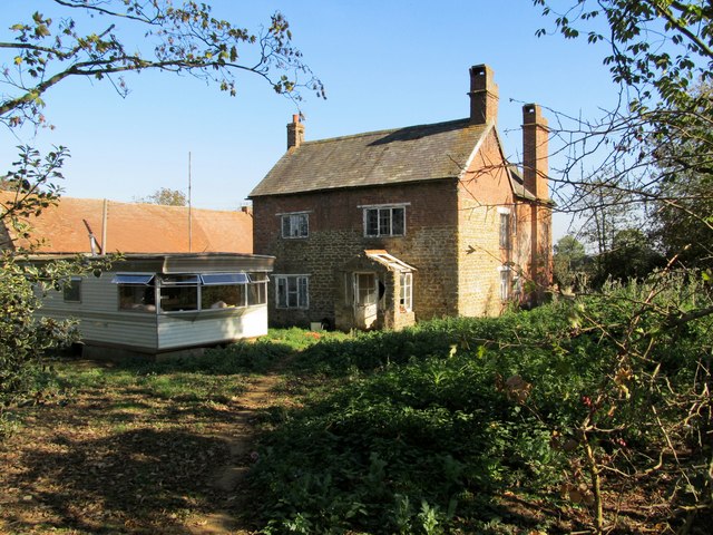
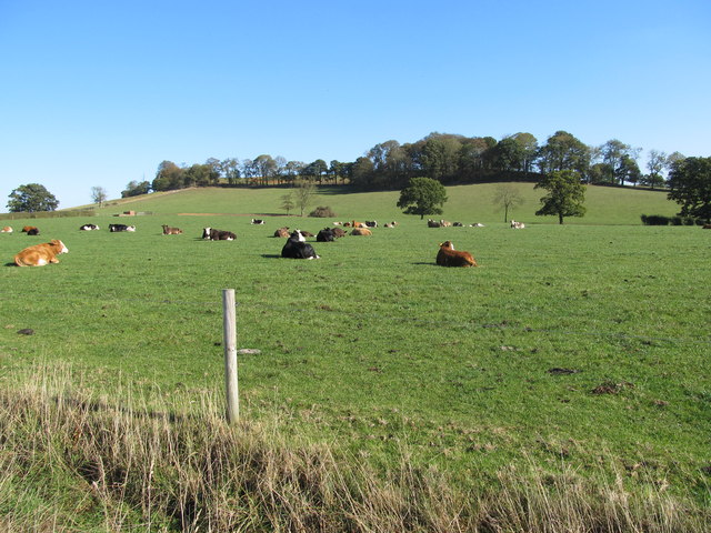
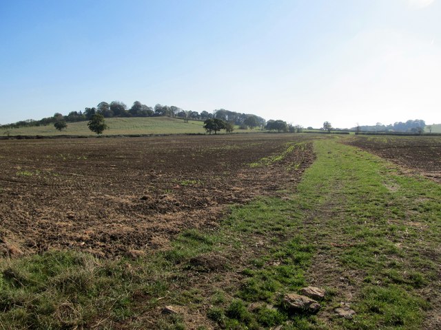
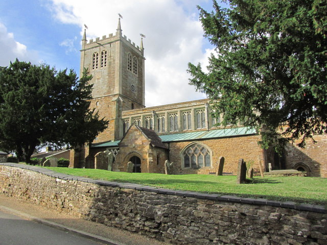
The village of Badby itself is nestled in a valley, surrounded by rolling hills and beautiful countryside. It is renowned for its charming thatched cottages, historic buildings, and a sense of tranquility that attracts both locals and visitors alike. The centerpiece of the village is the stunning 13th-century St. Mary's Church, which boasts a striking tower and a well-preserved interior.

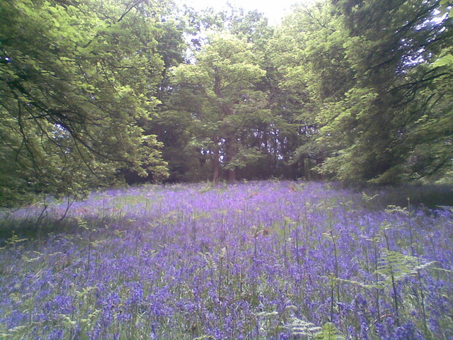
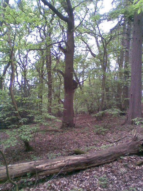
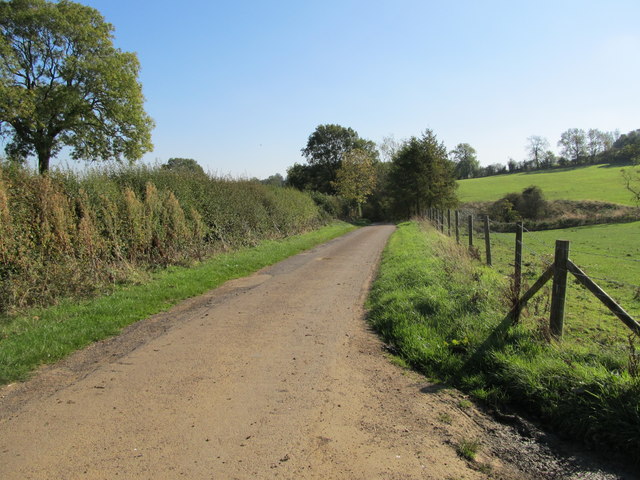
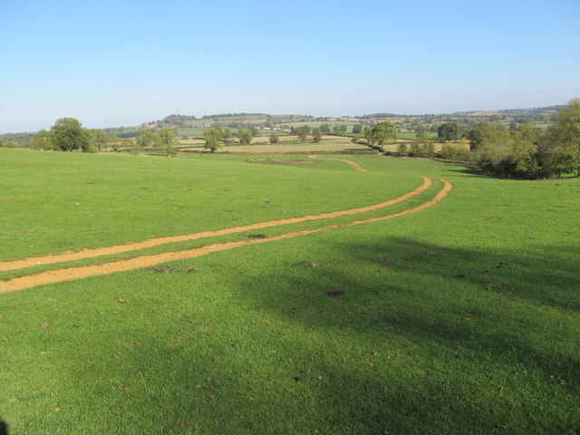
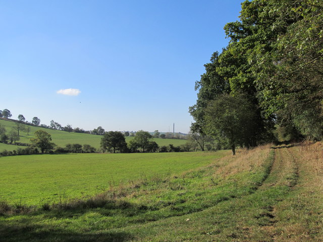
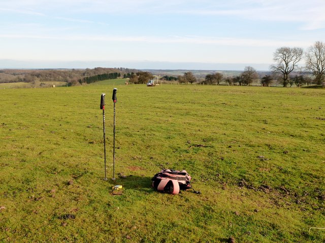
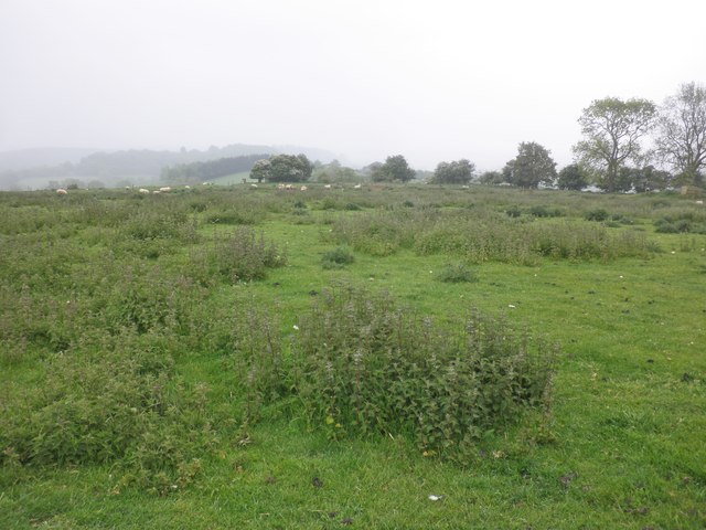
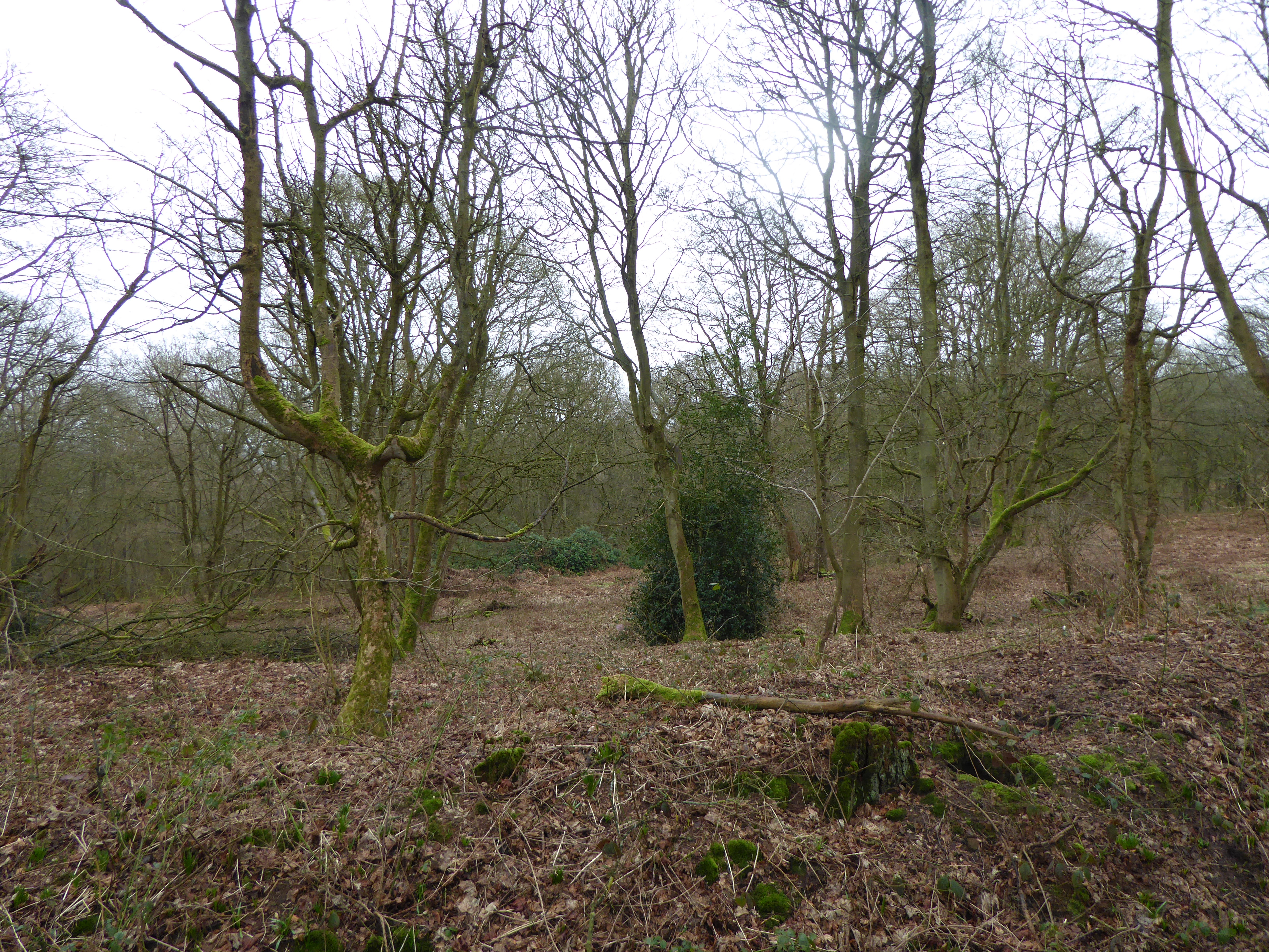
The parish offers a range of amenities for its residents, including a village hall, a primary school, and a popular pub, The Windmill. The surrounding area provides ample opportunities for outdoor activities, with numerous footpaths and bridleways that allow residents to explore the stunning countryside. The nearby Badby Woods, managed by the Woodland Trust, is a designated Site of Special Scientific Interest and offers a haven for nature lovers.

Badby has a strong community spirit, with various local events and activities taking place throughout the year. The annual Badby Fayre, held in June, is a highlight of the village calendar and attracts visitors from far and wide. The event includes traditional stalls, live music, and a range of entertainment for all ages.

Overall, Badby is a charming and idyllic village in Northamptonshire, offering a peaceful and picturesque setting for its residents and visitors to enjoy.

If you have any feedback on the listing, please let us know in the comments section below.

Badby Images

Images are sourced within 2km of 52.230073/-1.186153 or Grid Reference SP5559. Thanks to Geograph Open Source API. All images are credited.

Badby Wood Bluebells.
Badby Wood
Bluebells.
Badby Wood Fallen tree.
Badby Wood
Fallen tree.
Alpacas near Badby Wood, Northants Alpacas at Newnham Lodge, Newnham, Northants
Alpacas near Badby Wood, Northants
Alpacas at Newnham Lodge, Newnham, Northants
Staverton Lodge Derelict house at Staverton Lodge.
Staverton Lodge
Derelict house at Staverton Lodge.
Lane near Badby The single track road from Upper Catesby to Badby.
Lane near Badby
The single track road from Upper Catesby to Badby.
Staverton Lodge Geese about to take a dip in a small pool at the farm.
Staverton Lodge
Geese about to take a dip in a small pool at the farm.
Arbury Hill Cattle below Arbury Hill, the highest point in Northamptonshire at 225 metres. Looking from the Byway.
Arbury Hill
Cattle below Arbury Hill, the highest point in Northamptonshire at 225 metres. Looking from the Byway.
Arbury Hill Track leading down to the road.
Arbury Hill
Track leading down to the road.
View from Arbury Hill Looking east towards Badby Woods.
View from Arbury Hill
Looking east towards Badby Woods.
Arbury Hill View Looking across SP5459, SP5460, SP5461 to Big Hill near Staverton.
Arbury Hill View
Looking across SP5459, SP5460, SP5461 to Big Hill near Staverton.
Arbury Hill View Looking towards Borough Hill.
Arbury Hill View
Looking towards Borough Hill.
Byway at Arbury Hill The byway heads south at this point towards the A361, but the bridleway continues east.
Byway at Arbury Hill
The byway heads south at this point towards the A361, but the bridleway continues east.
North Western Slope of Arbury Hill Approaching on the Byway.
North Western Slope of Arbury Hill
Approaching on the Byway.
Vicarage Hill, Badby in 1987 The road's nameplate can be seen on the right side of the frame
Vicarage Hill, Badby in 1987
The road's nameplate can be seen on the right side of the frame
School Lane Brick and stone cottages on a green in Badby.
School Lane
Brick and stone cottages on a green in Badby.
Arbury Hill Eighth HuMP today on way to an Dry Anaerobic Digestion course at Solihull tomorrow. A lot of large digging equipment in operation to improve the motorbike scrambling course.
Name: Arbury Hill
Hill number: 5393
Height: 225m / 738ft
Area: 39: Central and Eastern England
Class: Hu,CoH,CoU,CoA
Grid ref: SP 54013 58775
Summit feature: no feature
Drop: 102m
Col: 123m  SP662929
Northamptonshire (1974) administrative county top
Northamptonshire historic county top
Northamptonshire current county/UA top
Arbury Hill
Eighth HuMP today on way to an Dry Anaerobic Digestion course at Solihull tomorrow. A lot of large digging equipment in operation to improve the motorbike scrambling course. Name: Arbury Hill Hill number: 5393 Height: 225m / 738ft Area: 39: Central and Eastern England Class: Hu,CoH,CoU,CoA Grid ref: SP 54013 58775 Summit feature: no feature Drop: 102m Col: 123m SP662929 Northamptonshire (1974) administrative county top Northamptonshire historic county top Northamptonshire current county/UA top
Badby, Northants - Church of St Mary the Virgin
The 'summit' of Arbury Hill Highest point in Northamptonshire, at 738 feet above sea level.
The 'summit' of Arbury Hill
Highest point in Northamptonshire, at 738 feet above sea level.
Show me another place!

Badby is located at Grid Ref: SP5559 (Lat: 52.230073, Lng: -1.186153)

Unitary Authority: West Northamptonshire

Police Authority: Northamptonshire

What 3 Words

///harps.canyons.toads. Near Daventry, Northamptonshire

Nearby Locations

Badby Badby

Related Wikis

Badby

Badby is a village and a rural parish of about 2,020 acres (820 ha) in West Northamptonshire, England. == Location == Badby is about 2 miles (3 km) south...

Badby Wood

Badby Wood is a 47.2-hectare (117-acre) biological Site of Special Scientific Interest (SSSI) south of Badby in Northamptonshire.This is ancient semi-natural...

Arbury Hill

Arbury Hill, at 225 m (738 ft), is the joint highest point in the English county of Northamptonshire. It is 9 km (5.6 mi) southwest of the town of Daventry...

Staverton, Northamptonshire

Staverton is a village and civil parish in the south-west of Northamptonshire, England. It is 2.3 miles west of Daventry, 7.9 miles east of Southam and...

Newnham Hill

Newnham Hill is a prominent hill south of the town of Daventry in the English county of Northamptonshire . == The Summit == Newnham Hill is 201 meters...

Fawsley

Fawsley is a hamlet and civil parish in West Northamptonshire, England. The population at the 2001 census was 32. At the 2011 census the population remained...

Church of St Mary the Virgin, Fawsley

The Church of St Mary the Virgin is a Church of England parish church in Fawsley, Northamptonshire, England. It serves the parish of Fawsley under the...

Upper Catesby

Upper Catesby is a hamlet in the civil parish of Catesby, Northamptonshire, about 3.5 miles (5.6 km) southwest of Daventry. The hamlet is about 550 feet...

Nearby Amenities

Located within 500m of 52.230073,-1.186153
Telephone
Booth: K6
Covered: booth
Listed Status: Grade II
Operator: BT
Phone: +44 1327 702355
Lat/Long: 52.2265806/-1.1816801
Post Box
Operator: Royal Mail
Operator Wikidata: Q638098
Post Box Type: lamp
Ref: NN11 7
Lat/Long: 52.2266257/-1.1816108
Turning Circle
Lat/Long: 52.2308582/-1.1820758
Building: yes
Lat/Long: 52.2273307/-1.1912833
Building: yes
Lat/Long: 52.2278039/-1.1875711
Building: yes
Lat/Long: 52.2340728/-1.1837945
Community Centre
Badby Village Hall
Addr City: Daventry
Addr Country: GB
Addr Place: Badby
Addr Postcode: NN11 3AF
Addr Street: The Green
Fhrs Authority: Daventry
Fhrs Id: 160470
Fhrs Local Authority Id: PI/000000137
Lat/Long: 52.2279933/-1.1810249
Pub
Maltsters Country Inn
Addr City: Daventry
Addr Country: GB
Addr Place: Badby
Addr Postcode: NN11 3AF
Addr Street: The Green
Fhrs Authority: West Northamptonshire
Fhrs Id: 909939
Fhrs Local Authority Id: PI/000052706
Wikidata: Q86211778
Lat/Long: 52.228151/-1.1818028
Post Box
Brand: Royal Mail
Brand Wikidata: Q638098
Brand Wikipedia: en:Royal Mail
Operator: Royal Mail
Operator Wikidata: Q638098
Post Box Type: lamp
Ref: NN11 1203
Lat/Long: 52.2304789/-1.1825001
Bench
Lat/Long: 52.2277826/-1.1809957
Bench
Lat/Long: 52.2278858/-1.1808477
Bench
Lat/Long: 52.2272633/-1.1814171
Landuse: village_green
Lat/Long: 52.2277861/-1.1815822
Power: pole
Lat/Long: 52.2326047/-1.1872728
Power: pole
Lat/Long: 52.2316315/-1.1876389
Power: pole
Lat/Long: 52.231629/-1.1877087
Power: pole
Lat/Long: 52.2306791/-1.1881707
Power: pole
Lat/Long: 52.2297528/-1.1886078
Power: pole
Lat/Long: 52.2287547/-1.1891034
Power: pole
Lat/Long: 52.2278954/-1.1894896
Power: pole
Lat/Long: 52.2271494/-1.1898226
Bus Stop
Bus Shelter (opp)
Bench: yes
Bin: yes
Naptan AtcoCode: 300000634OP
Naptan CommonName: Bus Shelter
Naptan Indicator: opp
Naptan Landmark: Bus Shelter
Naptan NaptanCode: nthdgtpm
Naptan Street: Pinfold Green
Public Transport: platform
Shelter: yes
Lat/Long: 52.2291983/-1.183117
Bus Stop
Bus Shelter (o/s)
Bench: yes
Bin: yes
Naptan AtcoCode: 300000634P
Naptan CommonName: Bus Shelter
Naptan Indicator: o/s
Naptan Landmark: Bus Shelter
Naptan NaptanCode: nthdgtpw
Naptan Street: Pinfold Green
Public Transport: platform
Shelter: yes
Lat/Long: 52.2292616/-1.1830513
The data included in this document is from www.openstreetmap.org. The data is made available under ODbL.

Have you been to Badby?

Leave your review of Badby below (or comments, questions and feedback).