Brandwood End

Settlement in Worcestershire

England

Brandwood End

Side entrance to Broadmeadow Junior School, Kings Norton
Side entrance to Broadmeadow Junior School, Kings Norton Credit: David Howard

Brandwood End is a village located in Worcestershire, England. It is situated on the southern edge of Birmingham, approximately 5 miles from the city center. The village is part of the Bromsgrove District and falls within the administrative boundaries of Worcestershire County Council.

Brandwood End is a peaceful and predominantly residential area, known for its picturesque countryside and charming village atmosphere. The village is surrounded by lush green fields and woodland, offering residents and visitors a tranquil escape from the hustle and bustle of city life.

Despite its rural setting, Brandwood End benefits from excellent transport links. The nearby A441 road provides easy access to Birmingham city center and other major towns in the region. Additionally, the village is well-served by public transportation, with regular bus services connecting it to surrounding areas.

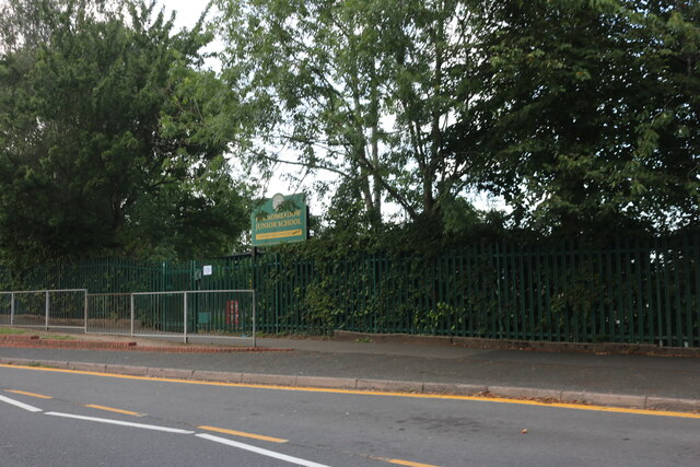
In terms of amenities, Brandwood End offers a range of facilities to cater to the needs of its residents. These include a primary school, a community center, and a local pub. The village also boasts several recreational spaces, such as parks and playing fields, where residents can enjoy outdoor activities and leisure pursuits.

Overall, Brandwood End is a charming village that combines the tranquility of rural living with the convenience of being close to a major city. Its beautiful surroundings, excellent transport links, and range of amenities make it an attractive place to live for individuals and families seeking a peaceful yet well-connected location.

If you have any feedback on the listing, please let us know in the comments section below.

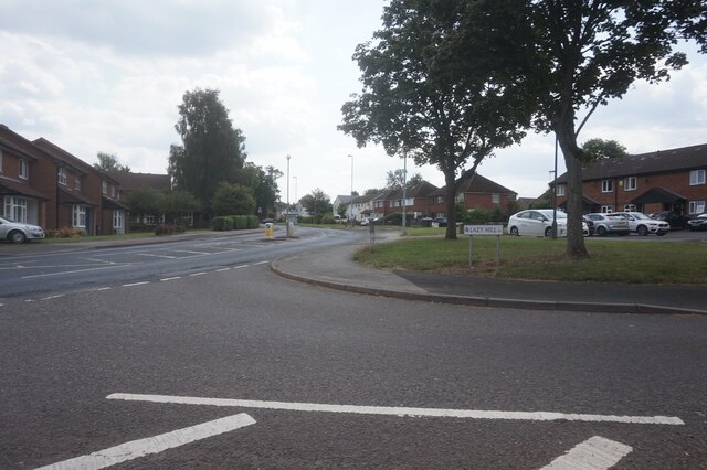
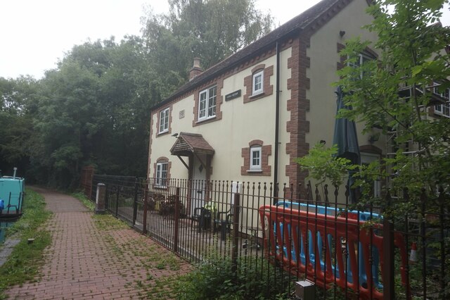
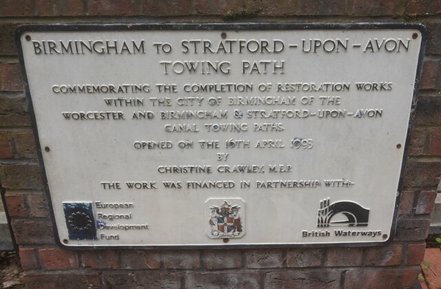
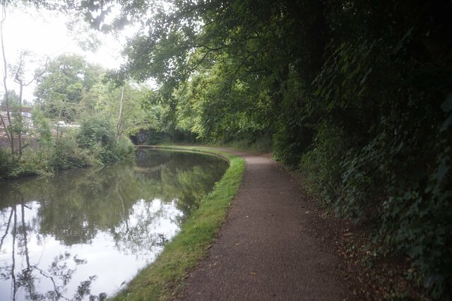
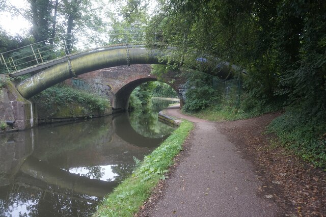
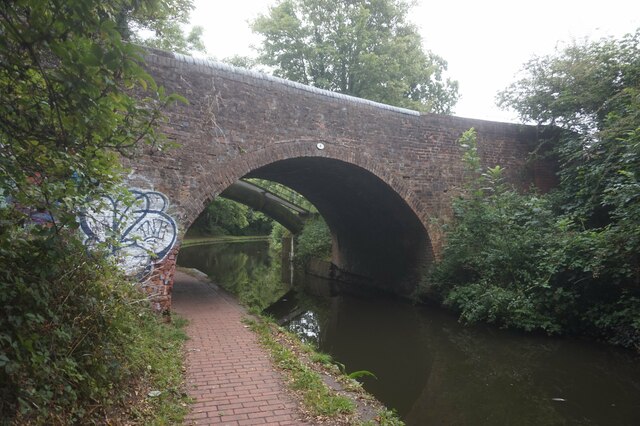
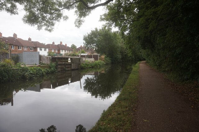
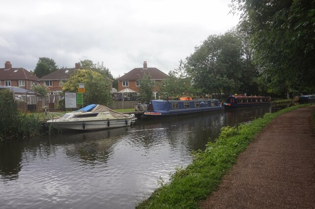
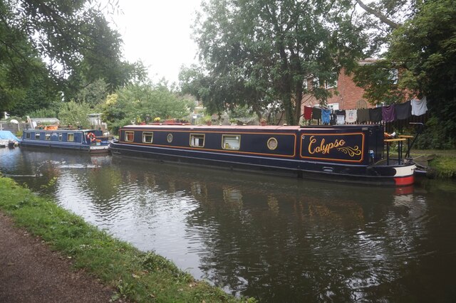
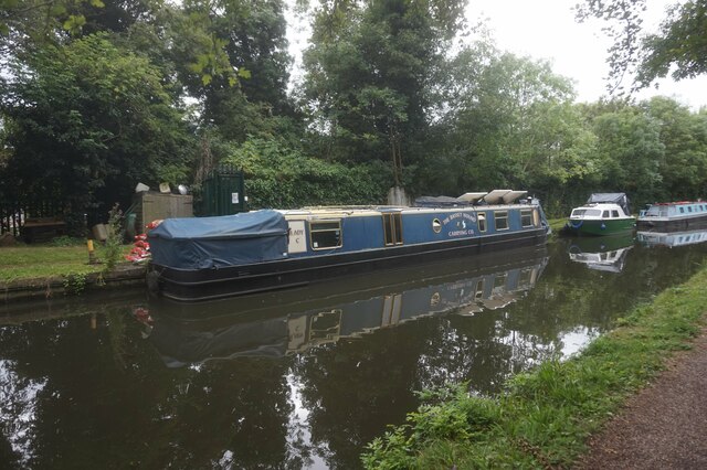
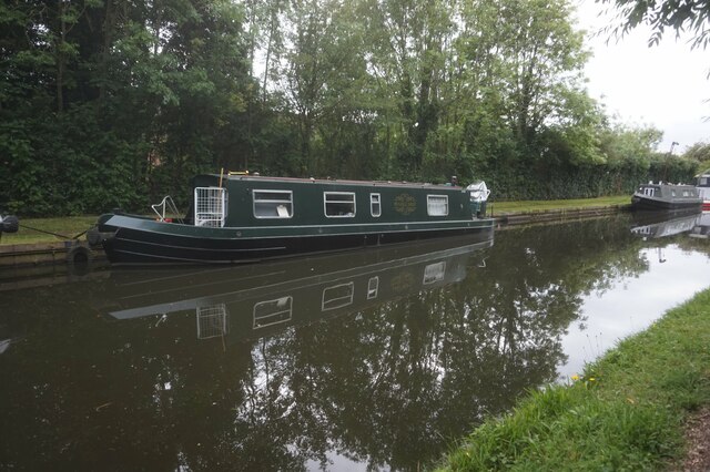
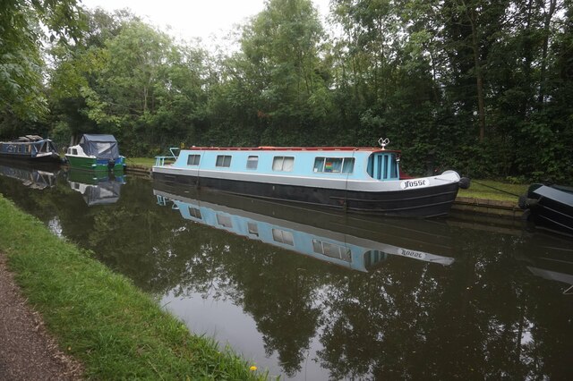
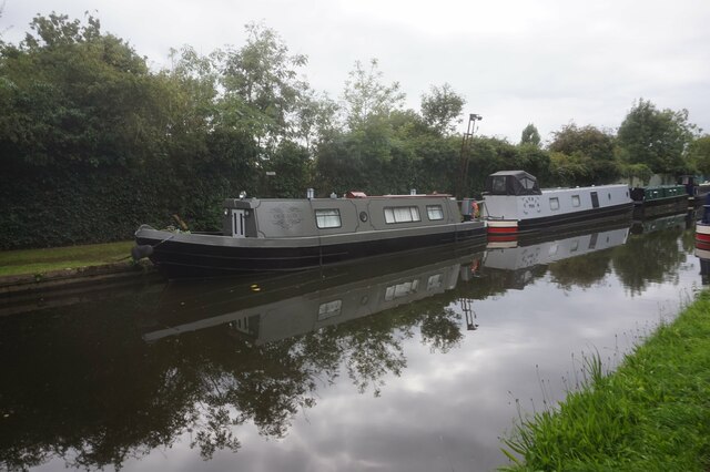
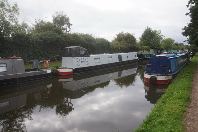
Brandwood End Images

Images are sourced within 2km of 52.415045/-1.900577 or Grid Reference SP0679. Thanks to Geograph Open Source API. All images are credited.

Side entrance to Broadmeadow Junior School, Kings Norton
Wharf Road, Kings Norton
Icknield Street at the junction of Gay Hill Lane This is the first line of buildings in the Birmingham area from this direction.
Icknield Street at the junction of Gay Hill Lane
This is the first line of buildings in the Birmingham area from this direction.
Fire access gate on Bridge 73, Worcester & Birmingham Canal
Walkers Heath Road from Lazy Hill, King's Norton
Canal Cottage, Stratford-upon-Avon Canal near bridge #5
Plaque at Canal Cottage Near bridge #5, Stratford upon Avon Canal.
Plaque at Canal Cottage
Near bridge #5, Stratford upon Avon Canal.
Stratford-upon-Avon Canal towards bridge #4
Stratford-upon-Avon Canal at Warstock Lane Bridge, bridge #4
Stratford-upon-Avon Canal towards bridge #3
Canal boat Calypso, Stratford-upon-Avon Canal
Canal boat Lady C, Stratford-upon-Avon Canal
Canal boat Pendle Mist, Stratford-upon-Avon Canal
Canal boat Mist, Stratford-upon-Avon Canal
Canal boat Our Aud, Stratford-upon-Avon Canal
Canal boat Florin Too, Stratford-upon-Avon Canal
Show me another place!

Brandwood End is located at Grid Ref: SP0679 (Lat: 52.415045, Lng: -1.900577)

Unitary Authority: Birmingham

Police Authority: West Midlands

What 3 Words

///drip.pinks.horns. Near Tidbury Green, West Midlands

Nearby Locations

Brandwood End

Related Wikis

Brandwood End

Brandwood End is a locality in Birmingham, England, and makes up the central part of the Brandwood electoral ward. It lies within the B14 postcode and...

Brandwood End Cemetery

Brandwood End Cemetery is a cemetery located in the Brandwood ward of Birmingham, England. == History == Until the early 19th century the Church of England...

Brandwood (ward)

Brandwood is one of 40 wards which constitute Birmingham City Council and is part of the Birmingham Selly Oak constituency. Prior to May 2010, it was a...

Lifford Reservoir

Lifford Reservoir in the Kings Norton district of Birmingham, England was built by the Worcester & Birmingham Canal company in 1815 to compensate Lifford...

Lifford, Birmingham

Lifford is a small area of Birmingham, England, located near Stirchley and Cotteridge. It is centred on the Lifford Reservoir. It was served by Lifford...

Druids Heath

Druids Heath is a large housing estate in southern Birmingham, England, covering the south-west quadrant of the B14 postcode (west of the Maypole). Primarily...

The Baverstock Academy

The Baverstock Academy (formerly Baverstock Foundation School and Specialist Sports College) was a mixed secondary school and sixth form college, located...

Kings Norton Stop Lock

Kings Norton Stop Lock (grid reference SP055794) is a Grade II* listed building at Kings Norton Junction on the Stratford-upon-Avon Canal near its junction...

Nearby Amenities

Located within 500m of 52.415045,-1.900577
Mini Roundabout
Direction: clockwise
Lat/Long: 52.4193499/-1.9005765
Turning Circle
Lat/Long: 52.4157797/-1.9009814
Turning Circle
Source: bing
Lat/Long: 52.4171043/-1.9048427
Turning Circle
Source: bing
Lat/Long: 52.4192229/-1.9022595
Turning Circle
Source: bing
Lat/Long: 52.4173299/-1.9006115
Turning Circle
Source: bing
Lat/Long: 52.4168314/-1.8997067
Turning Circle
Lat/Long: 52.4162743/-1.9000323
Turning Circle
Source: bing
Lat/Long: 52.4157046/-1.9003067
Noexit: yes
Lat/Long: 52.4137147/-1.9035712
Turning Circle
Source: bing
Lat/Long: 52.41324/-1.8971782
Post Box
Post Box Type: pillar
Postal Code: B14
Ref: B14 435
Royal Cypher: GR
Lat/Long: 52.4193042/-1.8997911
Turning Circle
Lat/Long: 52.4142269/-1.9065219
Power: tower
Source: Bing
Lat/Long: 52.4143546/-1.9057849
Traffic Signals
Source: visual survey;bing
Lat/Long: 52.4135829/-1.9039552
Power: tower
Source: Bing
Lat/Long: 52.4128677/-1.9025016
Power: tower
Source: Bing
Lat/Long: 52.4132938/-1.903198
Location Transition: yes
Power: tower
Source: survey
Lat/Long: 52.4121484/-1.898501
Bus Stop
Brandwood Rd / Brandwood End
NaPTANAreaCode: 43000408101
Bus: yes
Naptan AtcoCode: 43000408101
Naptan Bearing: S
Naptan BusStopType: MKD
Naptan CommonName: Brandwood End
Naptan NaptanCode: nwmgmatg
Naptan PlusbusZoneRef: BHAMNWS
Naptan Status: ACT
Naptan StopType: BCT
Naptan Street: BRANDWOOD RD
Naptan Towards: Cotteridge
Public Transport: platform
Route Ref: 18
Shelter: yes
Shelter Ref: 610526
Source: WMCA
Lat/Long: 52.4139892/-1.9036235
Bus Stop
Brandwood Rd / Brandwood End
NaPTANAreaCode: 43000408102
Bench: yes
Bus: yes
Naptan AtcoCode: 43000408102
Naptan Bearing: N
Naptan BusStopType: MKD
Naptan CommonName: Brandwood End
Naptan NaptanCode: nwmgmatj
Naptan PlusbusZoneRef: BHAMNWS
Naptan Status: ACT
Naptan StopType: BCT
Naptan Street: BRANDWOOD RD
Naptan Towards: Yardley Wood
Public Transport: platform
Route Ref: 18
Shelter: yes
Shelter Ref: 610576
Source: WMCA
Lat/Long: 52.4142944/-1.9037726
Bus Stop
Brandwood Rd / Westhouse Grove
NaPTANAreaCode: 43000408201
Bench: yes
Bin: yes
Bus: yes
Lit: yes
Naptan AtcoCode: 43000408201
Naptan Bearing: SW
Naptan BusStopType: MKD
Naptan CommonName: Westhouse Grove
Naptan Indicator: opp
Naptan NaptanCode: nwmgmatm
Naptan PlusbusZoneRef: BHAMNWS
Naptan Status: ACT
Naptan StopType: BCT
Naptan Street: BRANDWOOD RD
Naptan Towards: Cotteridge
Naptan Verified: no
Public Transport: platform
Route Ref: 18;69
Shelter: yes
Shelter Ref: 610524
Source: WMCA
Tactile Paving: no
Lat/Long: 52.416731/-1.9022516
Bus Stop
Brandwood Rd / Westhouse Grove
NaPTANAreaCode: 43000408202
Bench: yes
Bin: yes
Bus: yes
Lit: yes
Naptan AtcoCode: 43000408202
Naptan Bearing: N
Naptan BusStopType: MKD
Naptan CommonName: Westhouse Grove
Naptan Indicator: adj
Naptan NaptanCode: nwmgmatp
Naptan PlusbusZoneRef: BHAMNWS
Naptan Status: ACT
Naptan StopType: BCT
Naptan Street: BRANDWOOD RD
Naptan Towards: Yardley Wood
Naptan Verified: no
Public Transport: platform
Route Ref: 18
Shelter: yes
Shelter Ref: 610525
Source: WMCA
Tactile Paving: no
Lat/Long: 52.4172792/-1.901971
Bus Stop
Brandwood Park Rd / Shelfield Rd
NaPTANAreaCode: 43000408503
Asset Ref: 610523
Bus: yes
Naptan AtcoCode: 43000408503
Naptan Bearing: SE
Naptan BusStopType: MKD
Naptan CommonName: Shelfield Rd
Naptan Indicator: before
Naptan NaptanCode: nwmgmawg
Naptan PlusbusZoneRef: BHAMNWS
Naptan Status: ACT
Naptan StopType: BCT
Naptan Street: BRANDWOOD PARK RD
Naptan Towards: Hawkesley
Public Transport: platform
Route Ref: 35
Shelter: yes
Shelter Ref: 610523
Source: WMCA
Towards: Hawkesley
Lat/Long: 52.4140573/-1.9043929
Bus Stop
Brandwood Park Rd / Shelfield Rd
NaPTANAreaCode: 43000408504
Asset Ref: 610522
Bus: yes
Naptan AtcoCode: 43000408504
Naptan Bearing: NW
Naptan BusStopType: MKD
Naptan CommonName: Shelfield Rd
Naptan Indicator: after
Naptan NaptanCode: nwmgmawj
Naptan PlusbusZoneRef: BHAMNWS
Naptan Status: ACT
Naptan StopType: BCT
Naptan Street: BRANDWOOD PARK RD
Naptan Towards: Kings Heath
Public Transport: platform
Route Ref: 35;69
Shelter: yes
Shelter Ref: 610522
Source: WMCA
Towards: Kings Heath
Lat/Long: 52.4140238/-1.9045552
Bus Stop
Brandwood Park Rd / Kernthorpe Rd
NaPTANAreaCode: 43000409101
Asset Ref: 610521
Bus: yes
Naptan AtcoCode: 43000409101
Naptan Bearing: NW
Naptan BusStopType: MKD
Naptan CommonName: Kernthorpe Rd
Naptan Indicator: opp
Naptan NaptanCode: nwmgmawm
Naptan PlusbusZoneRef: BHAMNWS
Naptan Status: ACT
Naptan StopType: BCT
Naptan Street: BRANDWOOD PARK RD
Naptan Towards: Kings Heath
Public Transport: platform
Route Ref: 35;69
Shelter: yes
Shelter Ref: 610521
Source: WMCA
Towards: Kings Heath
Lat/Long: 52.415296/-1.9069113
Bus Stop
Brandwood Park Rd / Kernthorpe Rd
Bus: yes
Naptan AtcoCode: 43000409102
Naptan Bearing: SE
Naptan BusStopType: MKD
Naptan CommonName: Kernthorpe Rd
Naptan Indicator: adj
Naptan NaptanCode: nwmgmawp
Naptan PlusbusZoneRef: BHAMNWS
Naptan Status: ACT
Naptan StopType: BCT
Naptan Street: BRANDWOOD PARK RD
Naptan Towards: Hawkesley
Public Transport: platform
Route Ref: 35
Shelter: no
Source: WMCA
Towards: Hawkesley
Lat/Long: 52.4156303/-1.9072854
Bus Stop
Woodthorpe Rd / Brandwood Rd
NaPTANAreaCode: 43000414301
Bus: yes
Naptan AtcoCode: 43000414301
Naptan Bearing: E
Naptan BusStopType: MKD
Naptan CommonName: Brandwood Rd
Naptan Indicator: after
Naptan NaptanCode: nwmgmdma
Naptan PlusbusZoneRef: BHAMNWS
Naptan Status: ACT
Naptan StopType: BCT
Naptan Street: WOODTHORPE RD
Naptan Towards: Yardley Wood
Naptan Verified: no
Public Transport: platform
Route Ref: 18
Shelter: yes
Shelter Ref: 610588
Source: WMCA
Lat/Long: 52.4193124/-1.8999435
Bus Stop
Woodthorpe Rd / Brandwood Rd
NaPTANAreaCode: 43000414302
Bus: yes
Naptan AtcoCode: 43000414302
Naptan Bearing: W
Naptan BusStopType: MKD
Naptan CommonName: Brandwood Rd
Naptan Indicator: before
Naptan NaptanCode: nwmgmdmd
Naptan PlusbusZoneRef: BHAMNWS
Naptan Status: ACT
Naptan StopType: BCT
Naptan Street: WOODTHORPE RD
Naptan Towards: Cotteridge
Naptan Verified: no
Public Transport: platform
Route Ref: 18
Shelter: yes
Shelter Ref: 610592
Source: WMCA
Lat/Long: 52.4192012/-1.8995686
Crossing
Bicycle: yes
Crossing: traffic_signals
Crossing Ref: toucan
Source Type: BCC_CycleData
Lat/Long: 52.4133787/-1.9041706
Grit Bin
Lat/Long: 52.4140321/-1.9050971
Turning Circle
Source: bing
Lat/Long: 52.4165472/-1.9041802
Brandwood End
Place: village
Source: NPTG;OS_OpenData_StreetView
Wikidata: Q4957216
Lat/Long: 52.4146955/-1.9013195
Traffic Signals
Source: visual survey;bing
Lat/Long: 52.4135551/-1.903671
Traffic Signals
Source: survey
Lat/Long: 52.4133354/-1.9040137
Traffic Signals
Source: visual survey;bing
Lat/Long: 52.4137909/-1.9037259
Crossing
Bicycle: yes
Crossing: traffic_signals
Crossing Ref: toucan
Source Type: BCC_CycleData
Lat/Long: 52.4132672/-1.9040966
Traffic Signals
Source: visual survey;bing
Lat/Long: 52.4138267/-1.9040641
Traffic Signals
Source: visual survey;bing
Lat/Long: 52.4135153/-1.9037109
Traffic Signals
Source: survey
Lat/Long: 52.4131483/-1.9040338
Traffic Signals
Source: survey
Lat/Long: 52.4132296/-1.9043861
Give Way
Lat/Long: 52.4194111/-1.9007065
War Memorial
Historic: memorial
Source: survey
Lat/Long: 52.4156596/-1.8958909
Cafe
Broad Lane Café
Lat/Long: 52.4138656/-1.9031252
Fast Food
Broad Lane Chippy
Lat/Long: 52.4138509/-1.9032573
Barrier: bollard
Source: survey
Lat/Long: 52.4130556/-1.8971594
Shop: convenience
Lat/Long: 52.4138509/-1.9034059
Cafe
Café Olé
Addr City: Birmingham
Addr Postcode: B14 6EQ
Addr Street: Woodthorpe Road
Source: survey
Lat/Long: 52.4190884/-1.8999584
Fast Food
Chillies
Addr City: Birmingham
Addr Housenumber: 156
Addr Postcode: B14 6EQ
Addr Street: Woodthorpe Road
Cuisine: indian
Email: chillies.kingsheath@gmail.com
Phone: +44 121 443 4439
Source: survey
Website: https://chillieskingsheath.co.uk/our_menu.php
Lat/Long: 52.4190693/-1.8994221
Friends
Addr City: Birmingham
Addr Postcode: B14 6EQ
Addr Street: Woodthorpe Road
Shop: hairdresser
Source: survey
Lat/Long: 52.4190832/-1.8998047
Fast Food
Happy Garden
Addr City: Birmingham
Addr Postcode: B14 6EQ
Addr Street: Woodthorpe Road
Source: survey
Lat/Long: 52.4190762/-1.8996027
Kings Heath Angling
Addr City: Birmingham
Addr Postcode: B14 6EQ
Addr Street: Woodthorpe Road
Shop: sports
Source: survey
Lat/Long: 52.4190815/-1.8997094
N A Potter
Addr City: Birmingham
Addr Postcode: B14 6EQ
Addr Street: Woodthorpe Road
Shop: butcher
Source: survey
Lat/Long: 52.4190754/-1.8995131
Sam's Wines
Addr City: Birmingham
Addr Postcode: B14 6EQ
Addr Street: Woodthorpe Road
Shop: alcohol
Source: survey
Lat/Long: 52.419091/-1.9000451
Addr City: Birmingham
Addr Postcode: B14 6EQ
Addr Street: Woodthorpe Road
Maintenance: Woodthorpe Provisions
Shop: convenience
Source: survey
Lat/Long: 52.4190867/-1.8998744
Give Way
Lat/Long: 52.4192932/-1.9006281
Give Way
Lat/Long: 52.4191427/-1.9006549
Give Way
Lat/Long: 52.4192956/-1.9004363
Give Way
Lat/Long: 52.419442/-1.9005101
Post Box
Ref: B14 822
Lat/Long: 52.4169661/-1.9022497
Generator Method: photovoltaic
Generator Output Electricity: yes
Generator Source: solar
Generator Type: solar_photovoltaic_panel
Location: roof
Power: generator
Lat/Long: 52.4135711/-1.9012637
Generator Method: photovoltaic
Generator Output Electricity: yes
Generator Source: solar
Generator Type: solar_photovoltaic_panel
Location: roof
Power: generator
Lat/Long: 52.4131649/-1.895843
Generator Method: photovoltaic
Generator Output Electricity: yes
Generator Source: solar
Generator Type: solar_photovoltaic_panel
Location: roof
Power: generator
Lat/Long: 52.4131747/-1.8962587
Grit Bin
Source: survey
Lat/Long: 52.4166447/-1.906714
Generator Method: photovoltaic
Generator Output Electricity: yes
Generator Source: solar
Generator Type: solar_photovoltaic_panel
Location: roof
Power: generator
Lat/Long: 52.4164467/-1.9068508
Man Made: street_cabinet
Source: survey
Street Cabinet: telecom
Lat/Long: 52.4194338/-1.9008641
Man Made: street_cabinet
Source: survey
Street Cabinet: telecom
Lat/Long: 52.4194134/-1.9008105
Man Made: street_cabinet
Source: survey
Street Cabinet: telecom
Lat/Long: 52.4194903/-1.9007286
Generator Method: photovoltaic
Generator Output Electricity: yes
Generator Source: solar
Generator Type: solar_photovoltaic_panel
Location: roof
Power: generator
Lat/Long: 52.4128025/-1.9066215
Generator Method: photovoltaic
Generator Output Electricity: yes
Generator Source: solar
Generator Type: solar_photovoltaic_panel
Location: roof
Power: generator
Lat/Long: 52.4142038/-1.8946615
Generator Method: photovoltaic
Generator Output Electricity: yes
Generator Source: solar
Generator Type: solar_photovoltaic_panel
Location: roof
Power: generator
Lat/Long: 52.4142128/-1.8945703
Generator Method: photovoltaic
Generator Output Electricity: yes
Generator Source: solar
Generator Type: solar_photovoltaic_panel
Location: roof
Power: generator
Lat/Long: 52.4135208/-1.8937978
Generator Method: photovoltaic
Generator Output Electricity: yes
Generator Source: solar
Generator Type: solar_photovoltaic_panel
Location: roof
Power: generator
Lat/Long: 52.4135159/-1.8938783
Generator Method: photovoltaic
Generator Output Electricity: yes
Generator Source: solar
Generator Type: solar_photovoltaic_panel
Location: roof
Power: generator
Lat/Long: 52.4131837/-1.8941586
Generator Method: photovoltaic
Generator Output Electricity: yes
Generator Source: solar
Generator Type: solar_photovoltaic_panel
Location: roof
Power: generator
Lat/Long: 52.4131428/-1.8988726
Generator Method: photovoltaic
Generator Output Electricity: yes
Generator Source: solar
Generator Type: solar_photovoltaic_panel
Location: roof
Power: generator
Lat/Long: 52.4131608/-1.8988337
Man Made: mast
Source: survey
Tower Type: mobile_phone
Lat/Long: 52.4141924/-1.9043604
Generator Method: photovoltaic
Generator Output Electricity: yes
Generator Source: solar
Generator Type: solar_photovoltaic_panel
Location: roof
Power: generator
Lat/Long: 52.4175199/-1.9066054
Generator Method: photovoltaic
Generator Output Electricity: yes
Generator Source: solar
Generator Type: solar_photovoltaic_panel
Location: roof
Power: generator
Lat/Long: 52.4175869/-1.9065008
Generator Method: photovoltaic
Generator Output Electricity: yes
Generator Source: solar
Generator Type: solar_photovoltaic_panel
Location: roof
Power: generator
Lat/Long: 52.4164336/-1.905845
Generator Method: photovoltaic
Generator Output Electricity: yes
Generator Source: solar
Generator Type: solar_photovoltaic_panel
Location: roof
Power: generator
Lat/Long: 52.4187589/-1.8970397
The data included in this document is from www.openstreetmap.org. The data is made available under ODbL.

Have you been to Brandwood End?

Leave your review of Brandwood End below (or comments, questions and feedback).