Bradninch

Settlement in Devon Mid Devon

England

Bradninch

Bradninch : High Street A parade takes place to mark 12th Night in Bradninch.
Bradninch : High Street Credit: Lewis Clarke

Bradninch is a small town located in the county of Devon, England. Situated approximately 8 miles north-east of the city of Exeter, Bradninch lies on the eastern edge of the scenic Exe Valley. The town covers an area of around 3 square miles and has a population of just over 1,500 residents.

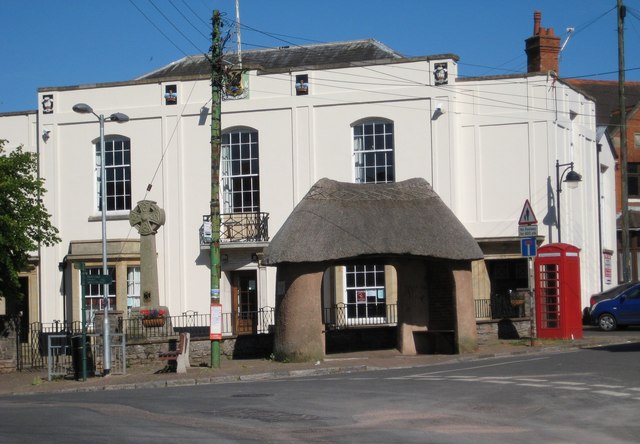
Known for its historical significance, Bradninch boasts a rich heritage that can be traced back to the medieval era. The town is home to several well-preserved buildings, including the 14th-century Church of St. Disen's, which features a striking tower and intricate stained glass windows. The Bradninch Guildhall, built in the 16th century, is another notable architectural gem and serves as a reminder of the town's past importance as a center for trade and commerce.

Bradninch offers a range of amenities and services to its residents and visitors. The town has a primary school, a post office, a convenience store, and a handful of local shops and businesses. It also has a community center that hosts various events and activities throughout the year, fostering a sense of community spirit.

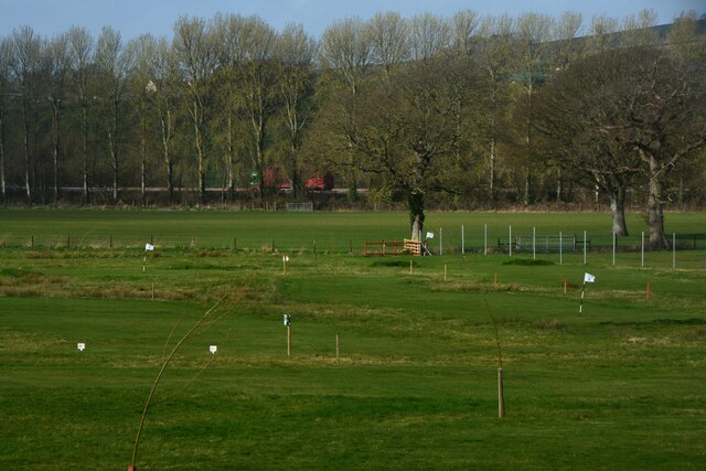
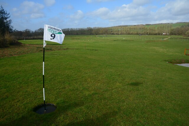
Surrounded by picturesque countryside, Bradninch provides opportunities for outdoor pursuits such as walking, cycling, and exploring the nearby nature reserves. The town's proximity to Exeter ensures easy access to a wider range of amenities, including shopping centers, restaurants, and cultural attractions.

Overall, Bradninch is a charming and historically significant town in Devon, offering a peaceful and picturesque setting for its residents and attracting visitors keen to explore its heritage and natural beauty.

If you have any feedback on the listing, please let us know in the comments section below.
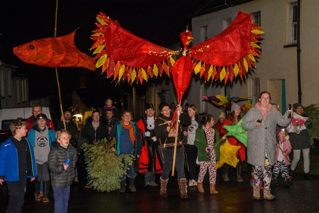
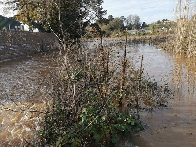
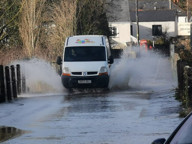
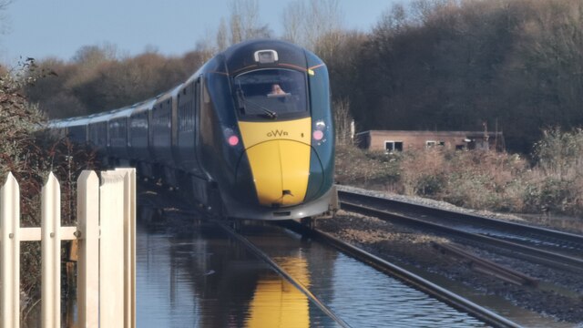
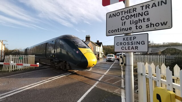
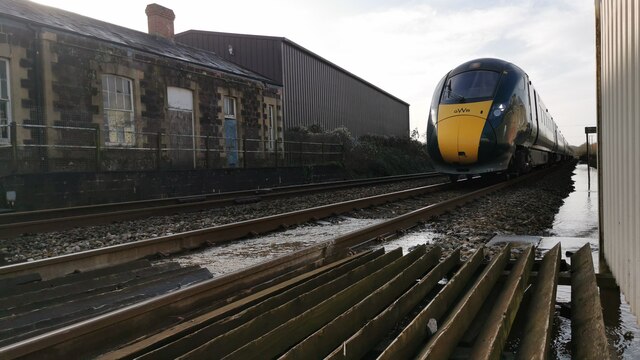
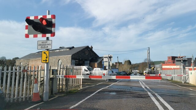
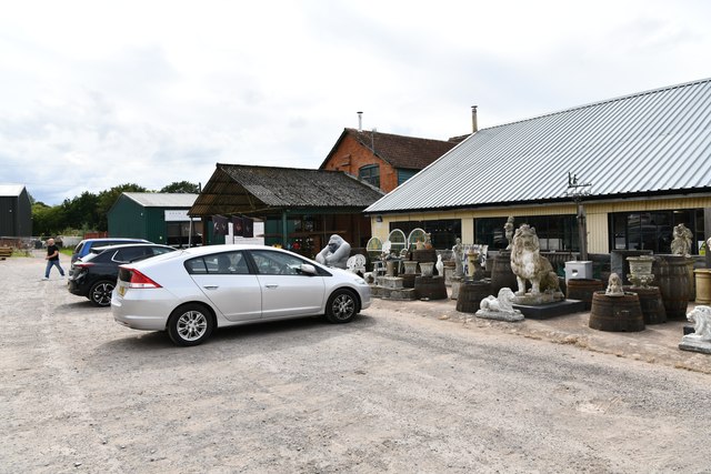
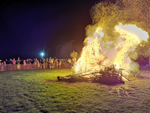
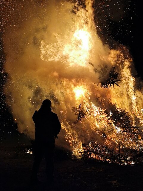
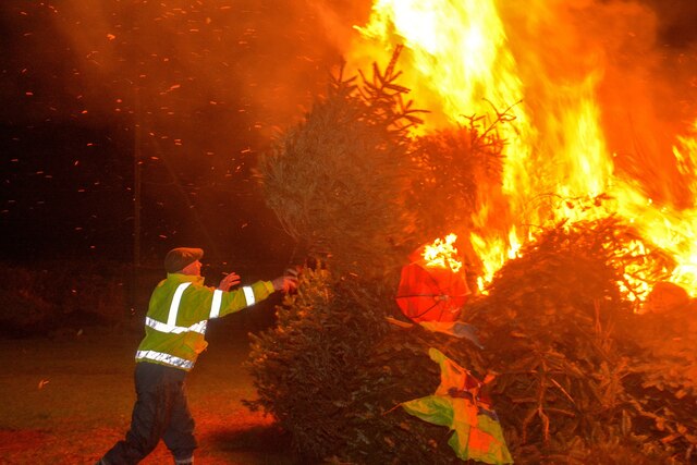
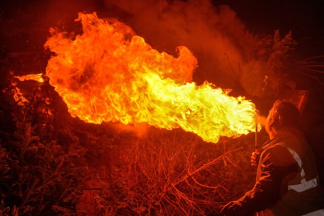
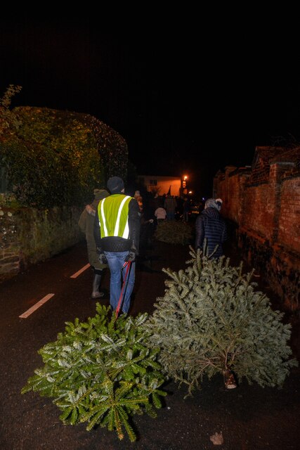
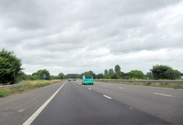
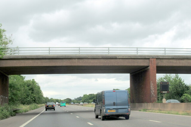
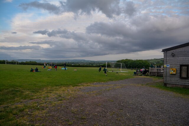
Bradninch Images

Images are sourced within 2km of 50.826817/-3.42209 or Grid Reference SS9903. Thanks to Geograph Open Source API. All images are credited.

Bradninch : High Street A parade takes place to mark 12th Night in Bradninch.
Bradninch : High Street
A parade takes place to mark 12th Night in Bradninch.
Hele : River Culm The River Culm in the floodplain and has burst its banks.
Hele : River Culm
The River Culm in the floodplain and has burst its banks.
Hele : Station Road A van heading along a wet Station Road.
Hele : Station Road
A van heading along a wet Station Road.
Hele : Bristol to Exeter Railway Line A GWR train heads through floodwater at a slow pace.
Hele : Bristol to Exeter Railway Line
A GWR train heads through floodwater at a slow pace.
Hele : Station Road The Bristol to Exeter rail line at Station Road.
Hele : Station Road
The Bristol to Exeter rail line at Station Road.
Hele : Bristol to Exeter Railway Line A GWR train approaches.
Hele : Bristol to Exeter Railway Line
A GWR train approaches.
Hele : Station Road At the railway crossing.
Hele : Station Road
At the railway crossing.
Broad Clyst: The Antique Village
Bradninch : Cricket Pitch Looking towards a bonfire of Christmas trees on the cricket pitch.
Bradninch : Cricket Pitch
Looking towards a bonfire of Christmas trees on the cricket pitch.
Bradninch : Cricket Pitch Bonfire Looking towards Christmas trees burning on the bonfire.
Bradninch : Cricket Pitch Bonfire
Looking towards Christmas trees burning on the bonfire.
Bradninch : Cricket Ground A man tosses Christmas trees onto the bonfire.
Bradninch : Cricket Ground
A man tosses Christmas trees onto the bonfire.
Bradninch : Cricket Ground A man breathes fire onto the bonfire of Christmas trees to get the flames going.
Bradninch : Cricket Ground
A man breathes fire onto the bonfire of Christmas trees to get the flames going.
Bradninch : Kensham Avenue People drag their Christmas trees through the streets to be burnt.
Bradninch : Kensham Avenue
People drag their Christmas trees through the streets to be burnt.
The M5 north at B 242.5 marker
Bridge over the M5 near Westcott
Bradninch : Playing Field A field in Bradninch used for recreation.
Bradninch : Playing Field
A field in Bradninch used for recreation.
Bradninch : Footgolf Devon Looking across a new footgolf course in Bradninch.
Bradninch : Footgolf Devon
Looking across a new footgolf course in Bradninch.
Bradninch : Footgolf Devon A footgolf course in Westcott.
Bradninch : Footgolf Devon
A footgolf course in Westcott.
Show me another place!

Bradninch is located at Grid Ref: SS9903 (Lat: 50.826817, Lng: -3.42209)

Administrative County: Devon

District: Mid Devon

Police Authority: Devon and Cornwall

What 3 Words

///yard.nurture.slowness. Near Bradninch, Devon

Nearby Locations

Bradninch The Shrubbery

Related Wikis

Bradninch Guildhall

Bradninch Guildhall is a municipal building in Fore Street, Bradninch, Devon, England. The structure, which is now used as a community events venue, is...

Bradninch

Bradninch is a small town, civil parish and manor in Devon, England, lying about 3 mi (5 km) south of Cullompton. Much of the surrounding farmland belongs...

Hele, Devon

Hele is a village in Devon, England, lying about one mile (1.6 km) SSW of Bradninch and 10 miles (16 km) NNE of Exeter, on the River Culm. The village...

Beare

Beare is a village in the civil parish of Broadclyst in Devon, England. == References == == External links == Media related to Beare at Wikimedia Commons

Manor of Silverton

The manor of Silverton was an historic manor in the parish of Silverton in Devon. The last version of the manor house was Silverton Park (also called Egremont...

Silverton Park

Silverton Park, also known locally as Egremont House, was a large neoclassical mansion in the parish of Silverton, Devon, England. == History == It was...

Devon Redlands

The Devon Redlands is a natural region in southwest Britain that has been designated as National Character Area (NCA) 148 by Natural England. == Extent... ==

Cullompton Community College

Cullompton Community College is a coeducational foundation secondary school located in Cullompton in the county of Devon.First established in 1872, the...

Nearby Amenities

Located within 500m of 50.826817,-3.42209
Bradninch
Note: It is a town not a village see charter
Place: town
Population: 2041
Wikidata: Q928614
Wikipedia: en:Bradninch
Lat/Long: 50.8264662/-3.4237023
Give Way
Direction: backward
Lat/Long: 50.8267868/-3.4220297
Bus Stop
Townlands
Bus: yes
Naptan AtcoCode: 1100DEC10585
Naptan Bearing: SW
Naptan BusStopType: MKD
Naptan Indicator: SW-bound
Naptan LocalityName: Bradninch
Naptan NaptanCode: dvndtmwa
Naptan NptgLocality: E0045287
Naptan Status: act
Naptan StopType: BCT
Naptan Street: Hele Road
Naptan TimingStatus: OTH
Operator: Stagecoach
Public Transport: platform
Shelter: yes
Source: naptan
Lat/Long: 50.8236088/-3.4258244
Turning Circle
Lat/Long: 50.8273241/-3.4191042
Turning Circle
Lat/Long: 50.8244701/-3.4233058
Spar
Addr City: Exeter
Addr Housename: Spar
Addr Housenumber: 8
Addr Postcode: EX5 4NN
Addr Street: Fore Street
Addr Suburb: Bradninch
Brand: Spar
Brand Wikidata: Q610492
Brand Wikipedia: en:SPAR (retailer)
Fhrs Id: 8381
Opening Hours: Tu-Su 07:00-21:00; Mo 08:00-18:00
Phone: +44 1392 881212
Shop: convenience
Website: https://spar.co.uk/
Lat/Long: 50.8270166/-3.4220607
Post Office
Bradninch Post Office
Addr City: Exeter
Addr Country: GB
Addr Housenumber: 16
Addr Postcode: EX5 4NN
Addr Street: High Street
Addr Suburb: Bradninch
Brand: Post Office
Brand Wikidata: Q1783168
Contact Website: https://www.postoffice.co.uk/branch-finder/1535196/bradninch
Operator: Spar
Ref Pol Id: 3070
Lat/Long: 50.8269816/-3.4221111
Telephone
Booth: K6
Covered: booth
Listed Status: Grade II
Lat/Long: 50.826713/-3.421843
War Memorial
Historic: memorial
Memorial: war_memorial
Lat/Long: 50.8268305/-3.4217418
Addr City: Bradninch
Addr Housenumber: 5
Addr Street: Townlands
Lat/Long: 50.8234385/-3.4265022
Shelter
Shelter Type: public_transport
Lat/Long: 50.8236166/-3.4257756
Love Hair
Addr Housenumber: 18
Addr Street: High Street
Shop: hairdresser
Lat/Long: 50.8267213/-3.4230514
Post Box
Bradninch East End
Brand: Royal Mail
Brand Wikidata: Q638098
Brand Wikipedia: en:Royal Mail
Collection Times: Mo-Fr 16:30; Sa 10:15
Operator: Royal Mail
Operator Wikidata: Q638098
Post Box Type: wall
Ref: EX5 288
Lat/Long: 50.8284259/-3.4203594
Post Box
Bradninch West End
Brand: Royal Mail
Brand Wikidata: Q638098
Brand Wikipedia: en:Royal Mail
Collection Times: Mo-Fr 16:15; Sa 10:30
Operator: Royal Mail
Operator Wikidata: Q638098
Post Box Type: wall
Ref: EX5 289
Lat/Long: 50.8247743/-3.4271277
Bradninch Fire
Memorial: plaque
Monument: yes
Lat/Long: 50.8266729/-3.4230665
Atm
Currency GBP: yes
Lat/Long: 50.8270446/-3.4220314
Bench
Lat/Long: 50.8268246/-3.4219129
Waste Basket
Lat/Long: 50.8268682/-3.4219065
Information: map
Map Size: village
Map Type: hiking
Operator: Devon County Council
Tourism: information
Lat/Long: 50.8267359/-3.4218635
Bus Stop
Guildhall
Bench: no
Bus: yes
Naptan AtcoCode: 1100DEC10586
Naptan Bearing: NE
Naptan BusStopType: MKD
Naptan Indicator: opp
Naptan LocalityName: Bradninch
Naptan NaptanCode: dvndtpam
Naptan NptgLocality: E0045287
Naptan Status: act
Naptan StopType: BCT
Naptan Street: Fore Street
Naptan TimingStatus: OTH
Public Transport: platform
Shelter: no
Source: naptan
Lat/Long: 50.8270015/-3.4219416
Waste Basket
Lat/Long: 50.8269335/-3.4220608
Post Box
Post Box Type: pillar
Ref: EX5 257
Lat/Long: 50.8270367/-3.4219508
AlarmTec
Office: security
Lat/Long: 50.8283104/-3.4204314
Bus Stop
Parsonage Street
Bus: yes
Naptan AtcoCode: 1100DEC10590
Naptan Bearing: NE
Naptan BusStopType: MKD
Naptan Indicator: NE-bound
Naptan LocalityName: Bradninch
Naptan NaptanCode: dvndtpgj
Naptan NptgLocality: E0045287
Naptan Status: act
Naptan StopType: BCT
Naptan Street: Cullompton Hill
Naptan TimingStatus: OTH
Public Transport: platform
Shelter: yes
Source: naptan
Lat/Long: 50.8286411/-3.4200458
Bus Stop
Parsonage Street
Bus: yes
Naptan AtcoCode: 1100DEC10588
Naptan Bearing: SW
Naptan BusStopType: MKD
Naptan Indicator: SW-bound
Naptan LocalityName: Bradninch
Naptan NaptanCode: dvndtpgm
Naptan NptgLocality: E0045287
Naptan Status: act
Naptan StopType: BCT
Naptan Street: Cullompton Hill
Naptan TimingStatus: OTH
Public Transport: platform
Source: naptan
Lat/Long: 50.8285864/-3.419915
Chris Trump General Builder
Craft: builder
Lat/Long: 50.8274377/-3.4225864
Bradninch Youth Football Club
Club: football
Lat/Long: 50.8246419/-3.4230538
Dev's Bargains
Shop: beauty
Lat/Long: 50.8255417/-3.4217232
Car Rental
R & CH Crispin
Lat/Long: 50.826027/-3.4199943
Mandy's Must Haves
Shop: gift
Lat/Long: 50.8266472/-3.4193134
Bench
Lat/Long: 50.8243518/-3.4279101
Waste Basket
Waste Basket: dog
Lat/Long: 50.8243774/-3.428058
Addr Housenumber: 24
Addr Street: Townlands
Lat/Long: 50.8237206/-3.4269014
Addr Housenumber: 15
Addr Street: Townlands
Lat/Long: 50.824004/-3.4263255
Bus Stop
Townlands
Bench: no
Bus: yes
Naptan AtcoCode: 1100DEC10584
Naptan Bearing: NE
Naptan BusStopType: MKD
Naptan Indicator: NE-bound
Naptan LocalityName: Bradninch
Naptan NaptanCode: dvndtmtm
Naptan NptgLocality: E0045287
Naptan Status: act
Naptan StopType: BCT
Naptan Street: Hele Road
Naptan TimingStatus: OTH
Operator: Stagecoach
Public Transport: platform
Shelter: no
Source: naptan
Lat/Long: 50.8240944/-3.4253108
Addr Housenumber: 1
Addr Street: Dukes Orchard
Lat/Long: 50.8255592/-3.4236125
Addr Housenumber: 2
Addr Street: Dukes Orchard
Lat/Long: 50.8255421/-3.4234878
Addr Housenumber: 3
Addr Street: Dukes Orchard
Lat/Long: 50.8253834/-3.4233433
Addr Housenumber: 4
Addr Street: Dukes Orchard
Lat/Long: 50.8253402/-3.4233234
Addr Housenumber: 5
Addr Street: Dukes Orchard
Lat/Long: 50.8252341/-3.4232836
Addr Housenumber: 6
Addr Street: Dukes Orchard
Lat/Long: 50.8251895/-3.4232704
Addr Housenumber: 7
Addr Street: Dukes Orchard
Lat/Long: 50.8250679/-3.4231907
Addr Housenumber: 8
Addr Street: Dukes Orchard
Lat/Long: 50.8249883/-3.4231642
Addr Housenumber: 9
Addr Street: Dukes Orchard
Lat/Long: 50.8248795/-3.4231244
Addr City: Exeter
Addr Housenumber: 10
Addr Postcode: EX5 4RA
Addr Street: Dukes Orchard
Addr Suburb: Bradninch
Lat/Long: 50.8248153/-3.4231045
Addr Housenumber: 10
Addr Street: Dukes Orchard
Lat/Long: 50.8246939/-3.4230604
Addr Housenumber: 11
Addr Street: Dukes Orchard
Lat/Long: 50.8246144/-3.4230339
Addr Housenumber: 12
Addr Street: Dukes Orchard
Lat/Long: 50.8245223/-3.4230339
Addr Housenumber: 13
Addr Street: Dukes Orchard
Lat/Long: 50.8244665/-3.4230228
Addr Housenumber: 14
Addr Street: Dukes Orchard
Lat/Long: 50.8243688/-3.4229499
Addr Housenumber: 15
Addr Street: Dukes Orchard
Lat/Long: 50.8242976/-3.4229278
Addr Housenumber: 16
Addr Street: Dukes Orchard
Lat/Long: 50.8241469/-3.4230206
Addr Housenumber: 17
Addr Street: Dukes Orchard
Lat/Long: 50.8241385/-3.4231178
Addr Housenumber: 18
Addr Street: Dukes Orchard
Lat/Long: 50.8241301/-3.4232879
Addr Housenumber: 19
Addr Street: Dukes Orchard
Lat/Long: 50.824119/-3.4233983
Addr Housenumber: 20
Addr Street: Dukes Orchard
Lat/Long: 50.8242209/-3.4236303
Addr Housenumber: 21
Addr Street: Dukes Orchard
Lat/Long: 50.8242809/-3.4236436
Addr Housenumber: 23
Addr Street: Dukes Orchard
Lat/Long: 50.8244483/-3.4236988
Addr Housenumber: 24
Addr Street: Dukes Orchard
Lat/Long: 50.8245125/-3.4237098
Addr Housenumber: 25
Addr Street: Dukes Orchard
Lat/Long: 50.8246074/-3.4236458
Addr Housenumber: 26
Addr Street: Dukes Orchard
Lat/Long: 50.8246744/-3.4236656
Addr Housenumber: 27
Addr Street: Dukes Orchard
Lat/Long: 50.8247721/-3.4236347
Addr Housenumber: 28
Addr Street: Dukes Orchard
Lat/Long: 50.8248432/-3.4236502
Addr City: Exeter
Addr Housenumber: 34
Addr Street: West End Road
Lat/Long: 50.8254353/-3.4261205
Addr City: Exeter
Addr Housenumber: 30
Addr Street: West End Road
Lat/Long: 50.8258837/-3.4249757
Addr City: Exeter
Addr Housenumber: 9
Addr Street: West End Road
Lat/Long: 50.8257988/-3.4246831
Addr City: Exeter
Addr Housename: Butters Cottage
Addr Postcode: EX5 4QW
Addr Street: West End Road
Addr Suburb: Bradninch
Lat/Long: 50.8260666/-3.4244753
Bus Stop
Guildhall
Bench: yes
Bus: yes
Naptan AtcoCode: 1100DEC10587
Naptan Bearing: SW
Naptan BusStopType: MKD
Naptan Indicator: SW-bound
Naptan LocalityName: Bradninch
Naptan NaptanCode: dvndtpap
Naptan NptgLocality: E0045287
Naptan Status: act
Naptan StopType: BCT
Naptan Street: Fore Street
Naptan TimingStatus: OTH
Public Transport: platform
Shelter: yes
Source: naptan
Lat/Long: 50.8268984/-3.421868
Entrance: yes
Lat/Long: 50.8279592/-3.4218487
Brand: National Grid
Brand Wikidata: Q1465461
Material: wood
Operator: National Grid Electricity Distribution
Operator Old: Western Power Distribution
Operator Wikidata: Q7988183
Owner: National Grid Electricity Distribution (South West) Plc
Owner Wikidata: Q114397866
Power: pole
Lat/Long: 50.825644/-3.4156416
Brand: National Grid
Brand Wikidata: Q1465461
Material: wood
Operator: National Grid Electricity Distribution
Operator Old: Western Power Distribution
Operator Wikidata: Q7988183
Owner: National Grid Electricity Distribution (South West) Plc
Owner Wikidata: Q114397866
Power: pole
Lat/Long: 50.8267899/-3.4166707
Brand: National Grid
Brand Wikidata: Q1465461
Material: wood
Operator: National Grid Electricity Distribution
Operator Old: Western Power Distribution
Operator Wikidata: Q7988183
Owner: National Grid Electricity Distribution (South West) Plc
Owner Wikidata: Q114397866
Power: pole
Lat/Long: 50.8273474/-3.4171332
Brand: National Grid
Brand Wikidata: Q1465461
Material: wood
Operator: National Grid Electricity Distribution
Operator Old: Western Power Distribution
Operator Wikidata: Q7988183
Owner: National Grid Electricity Distribution (South West) Plc
Owner Wikidata: Q114397866
Power: pole
Lat/Long: 50.8262454/-3.4161309
Power: pole
Lat/Long: 50.8301438/-3.4207609
Power: pole
Lat/Long: 50.8301738/-3.4204817
Power: pole
Lat/Long: 50.8300374/-3.4199708
Power: pole
Lat/Long: 50.8309299/-3.4195958
Power: pole
Lat/Long: 50.829927/-3.4195023
Brand: National Grid
Brand Wikidata: Q1465461
Material: wood
Operator: National Grid Electricity Distribution
Operator Old: Western Power Distribution
Operator Wikidata: Q7988183
Owner: National Grid Electricity Distribution (South West) Plc
Owner Wikidata: Q114397866
Power: pole
Lat/Long: 50.8272941/-3.4178475
Castle Hill
Place: locality
Lat/Long: 50.8296221/-3.4232451
Addr City: Exeter
Addr Postcode: EX5 4NJ
Addr Suburb: Bradninch
Lat/Long: 50.8266264/-3.4225448
Generator Method: photovoltaic
Generator Output Electricity: yes
Generator Source: solar
Generator Type: solar_photovoltaic_panel
Location: roof
Power: generator
Lat/Long: 50.8252035/-3.4240171
Generator Method: photovoltaic
Generator Output Electricity: yes
Generator Source: solar
Generator Type: solar_photovoltaic_panel
Location: roof
Power: generator
Lat/Long: 50.8244593/-3.4211469
Generator Method: photovoltaic
Generator Output Electricity: yes
Generator Source: solar
Generator Type: solar_photovoltaic_panel
Location: roof
Power: generator
Lat/Long: 50.828673/-3.4199506
Generator Method: photovoltaic
Generator Output Electricity: yes
Generator Source: solar
Generator Type: solar_photovoltaic_panel
Location: roof
Power: generator
Lat/Long: 50.8292693/-3.4199506
Generator Method: photovoltaic
Generator Output Electricity: yes
Generator Source: solar
Generator Type: solar_photovoltaic_panel
Location: roof
Power: generator
Lat/Long: 50.8297047/-3.4192801
Generator Method: photovoltaic
Generator Output Electricity: yes
Generator Source: solar
Generator Type: solar_photovoltaic_panel
Location: roof
Power: generator
Lat/Long: 50.8296217/-3.4191674
Generator Method: photovoltaic
Generator Output Electricity: yes
Generator Source: solar
Generator Type: solar_photovoltaic_panel
Location: roof
Power: generator
Lat/Long: 50.8294896/-3.4189475
Generator Method: photovoltaic
Generator Output Electricity: yes
Generator Source: solar
Generator Type: solar_photovoltaic_panel
Location: roof
Power: generator
Lat/Long: 50.8294641/-3.4190118
Generator Method: photovoltaic
Generator Output Electricity: yes
Generator Source: solar
Generator Type: solar_photovoltaic_panel
Location: roof
Power: generator
Lat/Long: 50.8293489/-3.4191889
Generator Method: photovoltaic
Generator Output Electricity: yes
Generator Source: solar
Generator Type: solar_photovoltaic_panel
Location: roof
Power: generator
Lat/Long: 50.8292236/-3.4194678
Generator Method: photovoltaic
Generator Output Electricity: yes
Generator Source: solar
Generator Type: solar_photovoltaic_panel
Location: roof
Power: generator
Lat/Long: 50.8291812/-3.4194088
Generator Method: photovoltaic
Generator Output Electricity: yes
Generator Source: solar
Generator Type: solar_photovoltaic_panel
Location: roof
Power: generator
Lat/Long: 50.8279885/-3.4204415
Generator Method: photovoltaic
Generator Output Electricity: yes
Generator Source: solar
Generator Type: solar_photovoltaic_panel
Location: roof
Power: generator
Lat/Long: 50.8256301/-3.4206024
Generator Method: photovoltaic
Generator Output Electricity: yes
Generator Source: solar
Generator Type: solar_photovoltaic_panel
Location: roof
Power: generator
Lat/Long: 50.8243941/-3.4229413
Generator Method: photovoltaic
Generator Output Electricity: yes
Generator Source: solar
Generator Type: solar_photovoltaic_panel
Location: roof
Power: generator
Lat/Long: 50.824156/-3.4245774
Generator Method: photovoltaic
Generator Output Electricity: yes
Generator Source: solar
Generator Type: solar_photovoltaic_panel
Location: roof
Power: generator
Lat/Long: 50.8242504/-3.4274332
Generator Method: photovoltaic
Generator Output Electricity: yes
Generator Source: solar
Generator Type: solar_photovoltaic_panel
Location: roof
Power: generator
Lat/Long: 50.8241919/-3.4275083
Generator Method: photovoltaic
Generator Output Electricity: yes
Generator Source: solar
Generator Type: solar_photovoltaic_panel
Location: roof
Power: generator
Lat/Long: 50.8243715/-3.4267023
Generator Method: photovoltaic
Generator Output Electricity: yes
Generator Source: solar
Generator Type: solar_photovoltaic_panel
Location: roof
Power: generator
Lat/Long: 50.8240791/-3.4240838
Generator Method: photovoltaic
Generator Output Electricity: yes
Generator Source: solar
Generator Type: solar_photovoltaic_panel
Location: roof
Power: generator
Lat/Long: 50.8252843/-3.422062
Generator Method: photovoltaic
Generator Output Electricity: yes
Generator Source: solar
Generator Type: solar_photovoltaic_panel
Location: roof
Power: generator
Lat/Long: 50.8255359/-3.4217804
Generator Method: photovoltaic
Generator Output Electricity: yes
Generator Source: solar
Generator Type: solar_photovoltaic_panel
Location: roof
Power: generator
Lat/Long: 50.8255774/-3.4217683
Direction: WSW
Generator Method: photovoltaic
Generator Output Electricity: yes
Generator Solar Modules: 7
Generator Source: solar
Generator Type: solar_photovoltaic_panel
Location: roof
Power: generator
Lat/Long: 50.8248501/-3.4231352
Generator Method: photovoltaic
Generator Output Electricity: yes
Generator Source: solar
Generator Type: solar_photovoltaic_panel
Location: roof
Power: generator
Lat/Long: 50.8277828/-3.4227221
Generator Method: photovoltaic
Generator Output Electricity: yes
Generator Source: solar
Generator Type: solar_photovoltaic_panel
Location: roof
Power: generator
Lat/Long: 50.8278223/-3.4237173
Generator Method: photovoltaic
Generator Output Electricity: yes
Generator Source: solar
Generator Type: solar_photovoltaic_panel
Location: roof
Power: generator
Lat/Long: 50.825133/-3.4236977
Generator Method: photovoltaic
Generator Output Electricity: yes
Generator Source: solar
Generator Type: solar_photovoltaic_panel
Location: roof
Power: generator
Lat/Long: 50.8251518/-3.4238021
Generator Method: photovoltaic
Generator Output Electricity: yes
Generator Source: solar
Generator Type: solar_photovoltaic_panel
Location: roof
Power: generator
Lat/Long: 50.8251694/-3.4238925
Stop
Direction: forward
Lat/Long: 50.826468/-3.4235367
Give Way
Direction: backward
Lat/Long: 50.8253907/-3.4240914
Give Way
Direction: backward
Lat/Long: 50.8237778/-3.4258292
Parking
Access: permissive
Parking: surface
Lat/Long: 50.8282192/-3.4188426
Generator Source: solar
Location: roof
Power: generator
Lat/Long: 50.8264866/-3.4203033
Generator Source: solar
Location: roof
Power: generator
Lat/Long: 50.8266484/-3.4202591
Generator Source: solar
Location: roof
Power: generator
Lat/Long: 50.8265645/-3.4198205
The data included in this document is from www.openstreetmap.org. The data is made available under ODbL.

Have you been to Bradninch?

Leave your review of Bradninch below (or comments, questions and feedback).