Morrey

Settlement in Staffordshire East Staffordshire

England

Morrey

Hadley End An unremarkable East Staffordshire hamlet
Hadley End Credit: Alan Murray-Rust

Morrey is a small village located in Staffordshire, England. Situated in the Staffordshire Moorlands district, it is surrounded by picturesque countryside and offers a peaceful and idyllic setting for its residents.

With a population of around 500 inhabitants, Morrey is a close-knit community where neighbors know each other and there is a strong sense of community spirit. The village is known for its friendly and welcoming atmosphere, making it an attractive place to live for those seeking a quieter lifestyle away from the hustle and bustle of larger towns and cities.

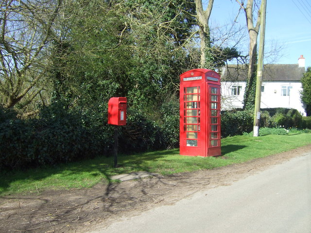
Morrey boasts a range of amenities to cater to the needs of its residents. These include a local pub, a village hall that hosts various community events and activities, a small primary school, and a post office. Although it may not have extensive shopping facilities, the nearby town of Leek is just a short drive away and provides a wider range of amenities and services.

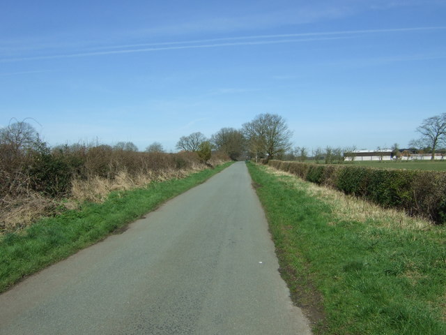
The village is surrounded by beautiful natural scenery, making it a haven for outdoor enthusiasts. There are numerous walking and cycling routes in the area, allowing residents to explore the stunning Staffordshire Moorlands. Additionally, Morrey is within close proximity to the Peak District National Park, offering even more opportunities for outdoor recreation.

Overall, Morrey is a charming village that offers a peaceful and close community atmosphere, surrounded by beautiful countryside and with easy access to larger towns and the stunning Peak District National Park.

If you have any feedback on the listing, please let us know in the comments section below.
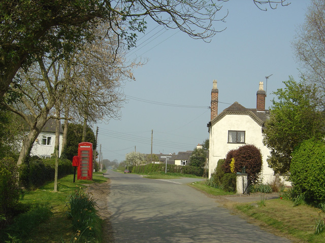
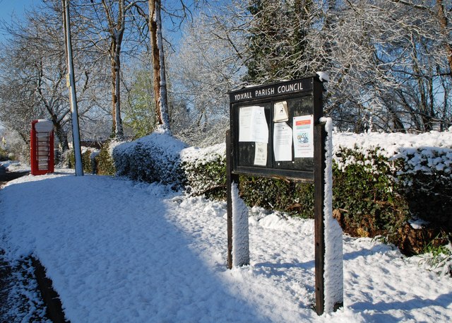
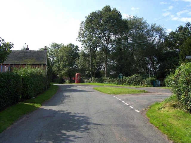
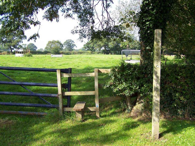
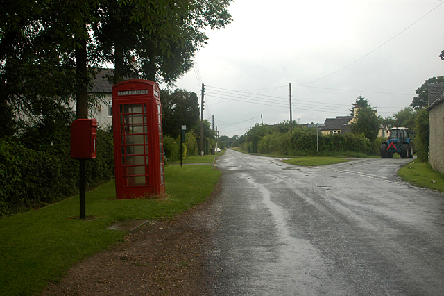
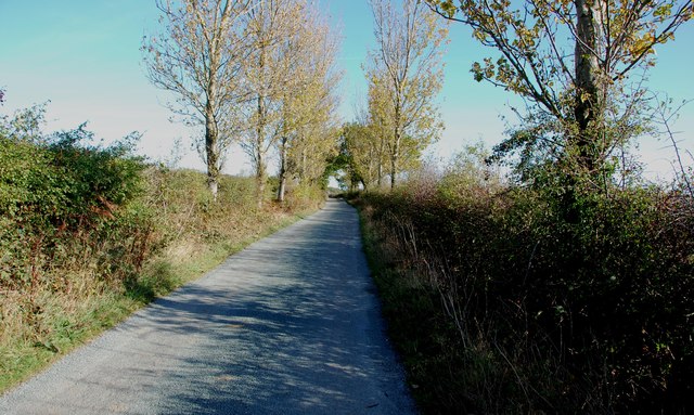
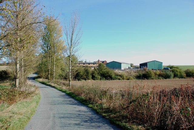
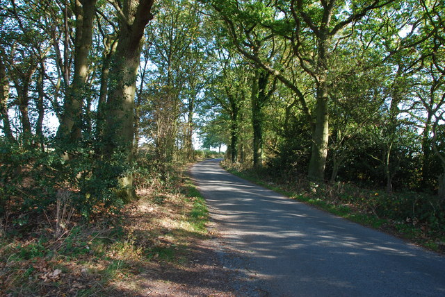
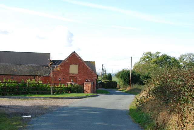
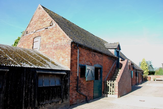
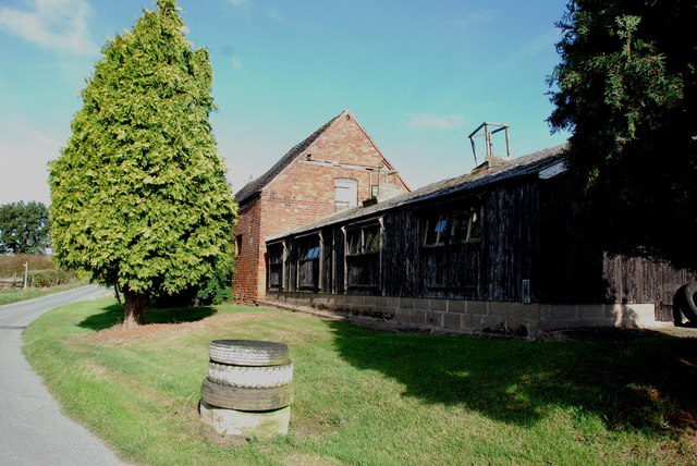
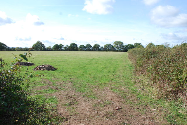
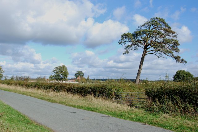
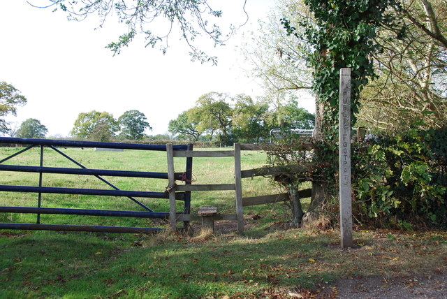
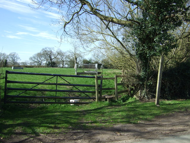
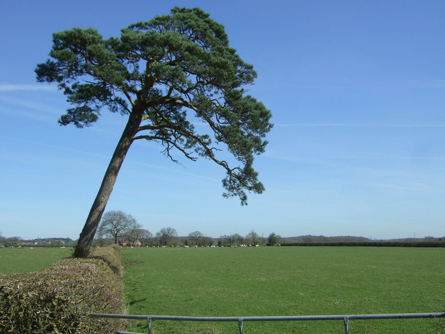
Morrey Images

Images are sourced within 2km of 52.766896/-1.812185 or Grid Reference SK1218. Thanks to Geograph Open Source API. All images are credited.

Hadley End An unremarkable East Staffordshire hamlet
Hadley End
An unremarkable East Staffordshire hamlet
Winter Morning at Hadley End
Hadley End
Hadley End
Footpath, Hadley End
Phone box at Hadley End
Narrow Lane with Poplar Trees
Narrow Lane looking towards Fawley Farm
The only bit of Shade along this Narrow Lane
Barn Conversions, Fawley Farm Rugeley power station ca be seen to the right of the buildings.
Barn Conversions, Fawley Farm
Rugeley power station ca be seen to the right of the buildings.
Old Red Brick Stables at Lower Rowley The owners very kindly let me take this photo of the stables from inside their farmyard. The steps up the side have had to be replaced, other than that, it is in original condition. Thank you to the Farmer for showing me around, much appreciated.
Old Red Brick Stables at Lower Rowley
The owners very kindly let me take this photo of the stables from inside their farmyard. The steps up the side have had to be replaced, other than that, it is in original condition. Thank you to the Farmer for showing me around, much appreciated.
Farm Buildings Lower Rowley
Looking Across Pastureland towards Fawley Farm
Across Road and Hedge to Hadley Cottage Farm
Stile and Footpath, Hadley End This footpath crosses fields and a road on its way to Rowley Farms and beyond.
Stile and Footpath, Hadley End
This footpath crosses fields and a road on its way to Rowley Farms and beyond.
Field entrance and footpath, Hadley End Off Upper Hoar Cross Road.
Field entrance and footpath, Hadley End
Off Upper Hoar Cross Road.
Sloping tree and field, Hadley End Off Upper Hoar Cross Road.
Sloping tree and field, Hadley End
Off Upper Hoar Cross Road.
Upper Hoar Cross Road Heading north from Hadley End.
Upper Hoar Cross Road
Heading north from Hadley End.
Elizabeth II postbox and telephone box, Hadley End Postbox No. DE13 1079.
Elizabeth II postbox and telephone box, Hadley End
Postbox No. DE13 1079.
Show me another place!

Morrey is located at Grid Ref: SK1218 (Lat: 52.766896, Lng: -1.812185)

Administrative County: Staffordshire

District: East Staffordshire

Police Authority: Staffordshire

What 3 Words

///diplomas.divorcing.apart. Near Yoxall, Staffordshire

Nearby Locations

Morrey

Related Wikis

Yoxall

Yoxall is a village and civil parish in Staffordshire, England. It is on the banks of the River Swarbourn on the A515 road north of Lichfield and south...

Church of St Peter, Yoxall

The Church of St Peter is a Grade II* listed building in Yoxall, East Staffordshire, Staffordshire, England, built in the early 13th century. == References ==

River Blithe

The River Blithe is a river in Staffordshire, England. It is a tributary of the River Trent and runs for around 18 miles from source to its confluence...

Hamstall Ridware

Hamstall Ridware is a village and civil parish in the Lichfield district of Staffordshire, England. It is in the Trent Valley, and lies close to the villages...

Nearby Amenities

Located within 500m of 52.766896,-1.812185
Bus Stop
Peartree Farm
Bus: yes
Naptan AtcoCode: 3800C339401
Naptan Bearing: E
Naptan CommonName: Peartree Farm
Naptan Indicator: Adj
Naptan Landmark: Peartree Farm
Naptan Street: Main Road
Naptan Verified: no
Public Transport: platform
Source: naptan_import
Lat/Long: 52.7672719/-1.8131634
Barrier: stile
Foot: yes
Lat/Long: 52.7680169/-1.8084891
Barrier: stile
Foot: yes
Lat/Long: 52.7699523/-1.8084891
Post Box
Brand: Royal Mail
Brand Wikidata: Q638098
Brand Wikipedia: en:Royal Mail
Operator: Royal Mail
Operator Wikidata: Q638098
Ref: DE13 1076
Lat/Long: 52.7674315/-1.814814
Barrier: stile
Lat/Long: 52.7661611/-1.809497
Power: pole
Lat/Long: 52.7651292/-1.8104114
Power: pole
Lat/Long: 52.7652017/-1.8126449
Power: pole
Lat/Long: 52.7651591/-1.811332
Power: pole
Lat/Long: 52.7652394/-1.8138058
Power: pole
Lat/Long: 52.7652832/-1.8149301
Power: pole
Lat/Long: 52.7653319/-1.8161787
Power: pole
Lat/Long: 52.765354/-1.8172638
Power: pole
Lat/Long: 52.7653968/-1.8183459
Power: pole
Lat/Long: 52.7654496/-1.8055142
Power: pole
Lat/Long: 52.7653587/-1.8066087
Power: pole
Lat/Long: 52.7652719/-1.8075639
Power: pole
Lat/Long: 52.7651793/-1.808582
Power: pole
Lat/Long: 52.7653895/-1.8094236
Power: pole
Lat/Long: 52.7650942/-1.8095189
Power: pole
Lat/Long: 52.7644872/-1.8098179
Power: pole
Lat/Long: 52.7638753/-1.8101102
Power: pole
Lat/Long: 52.7633154/-1.8103758
Power: pole
Lat/Long: 52.7628057/-1.8106091
The data included in this document is from www.openstreetmap.org. The data is made available under ODbL.

Have you been to Morrey?

Leave your review of Morrey below (or comments, questions and feedback).