Morley Smithy

Settlement in Derbyshire Erewash

England

Morley Smithy

Bus stop and road junction One of the bus stops at Brackley Gate.
Bus stop and road junction Credit: Jay Pea

Morley Smithy is a historic blacksmith shop located in Morley, Derbyshire, England. The smithy dates back to the 18th century and has been a focal point of the local community for generations. The building itself is a traditional stone structure with a thatched roof, giving it a quaint and charming appearance.

The smithy was once a bustling hub of activity, where the blacksmith would create and repair tools, horseshoes, and other metalwork for the local farmers and residents. Today, the smithy is no longer in operation but has been preserved as a heritage site, offering visitors a glimpse into the area's industrial past.

Visitors to Morley Smithy can explore the interior of the building, which still contains original tools and equipment used by the blacksmith. The surrounding area also features picturesque countryside views, making it a popular spot for leisurely walks and picnics.

Overall, Morley Smithy is a unique and historical landmark in Derbyshire, providing a glimpse into the region's rural and industrial heritage.

If you have any feedback on the listing, please let us know in the comments section below.

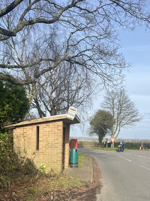
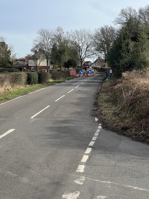
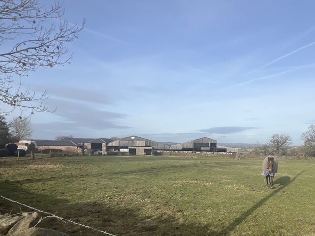
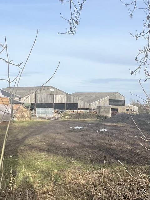
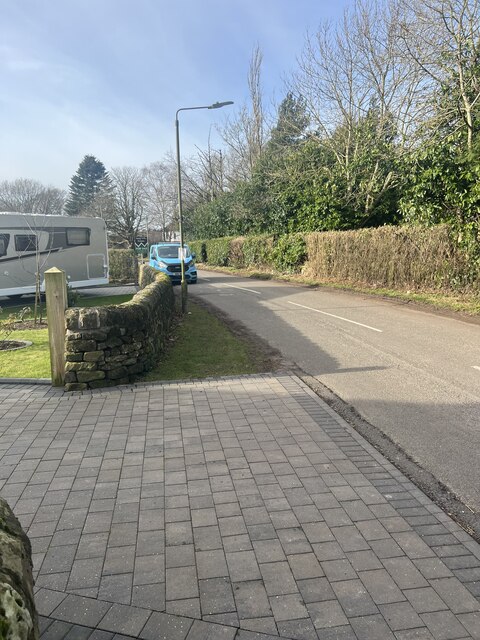
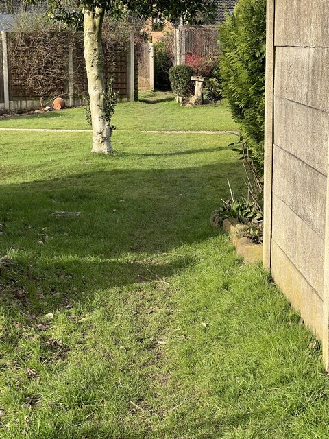
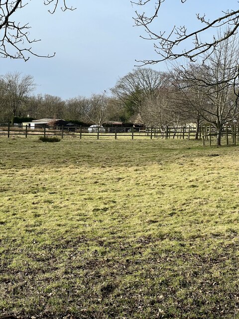
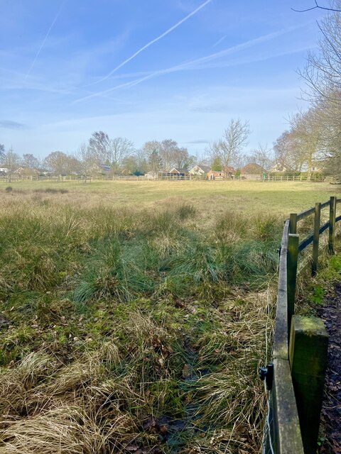
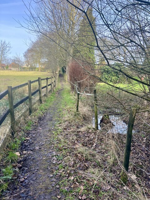
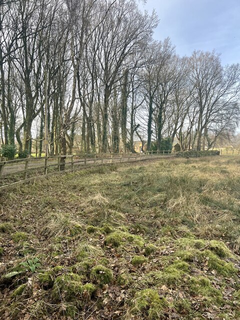
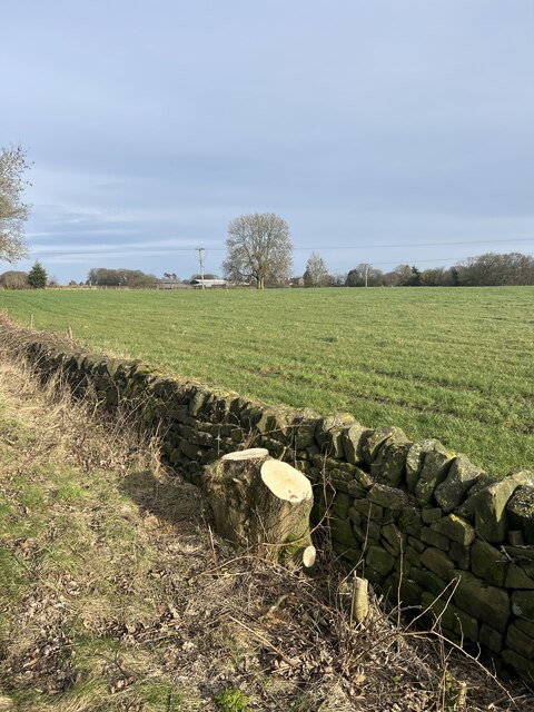
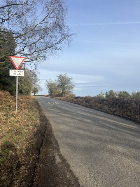
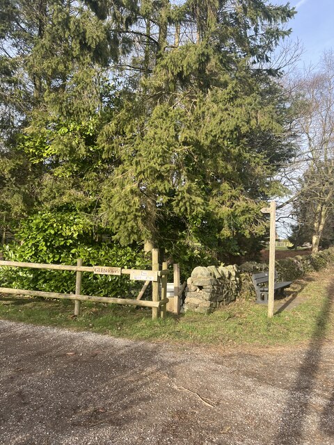
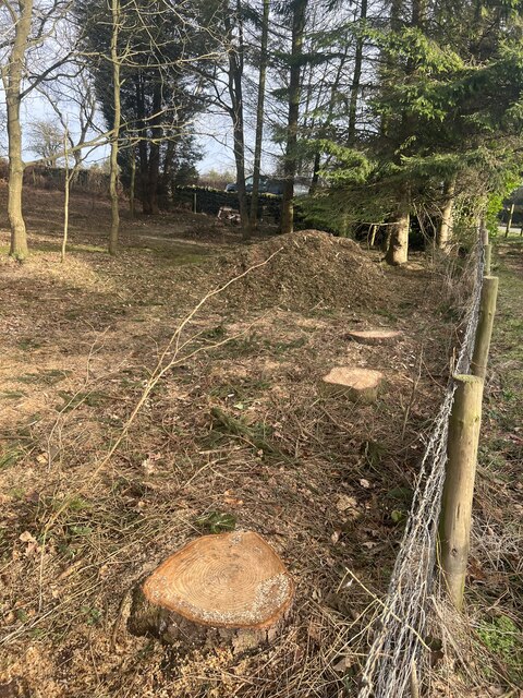
Morley Smithy Images

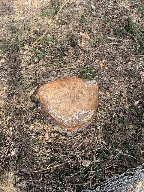
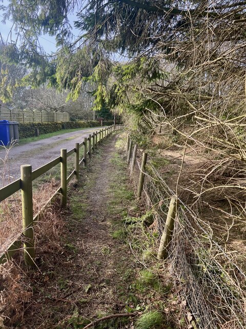
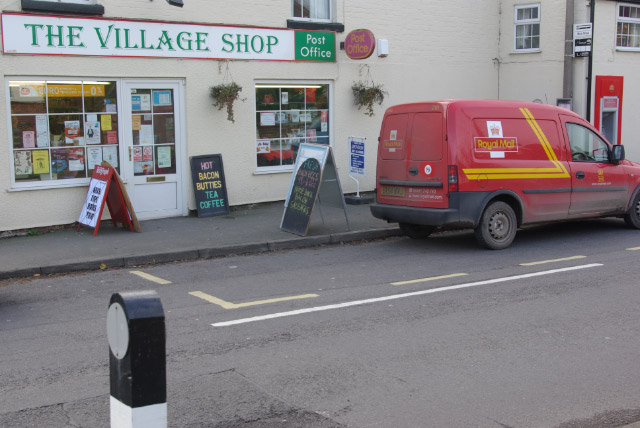
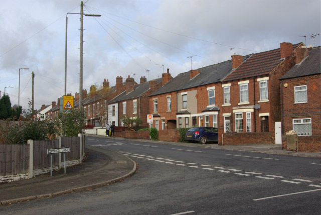
Images are sourced within 2km of 52.970255/-1.406579 or Grid Reference SK3941. Thanks to Geograph Open Source API. All images are credited.

Bus stop and road junction One of the bus stops at Brackley Gate.
Bus stop and road junction
One of the bus stops at Brackley Gate.
Temporary Road Works Temporary traffic lights on the roadworks.
Temporary Road Works
Temporary traffic lights on the roadworks.
Brackley Gate Farmland A horse in the field adjacent to  Brackley Gate farm.
Brackley Gate Farmland
A horse in the field adjacent to Brackley Gate farm.
Brackley Gate Farm The farm buildings, also a footpath crosses in front, just near the horse a stile is visible.
Brackley Gate Farm
The farm buildings, also a footpath crosses in front, just near the horse a stile is visible.
Minor road  through Brackley Gate The road leading towards Coxbench.
Minor road through Brackley Gate
The road leading towards Coxbench.
Footpath through Gardens The footpath crosses through the back gardens of houses at Brackley Gate.
Footpath through Gardens
The footpath crosses through the back gardens of houses at Brackley Gate.
Field and gardens Large back gardens are visible beyond this paddock.
Field and gardens
Large back gardens are visible beyond this paddock.
Boggy Paddock A very waterlogged paddock next to the footpath.
Boggy Paddock
A very waterlogged paddock next to the footpath.
Path and pond A small pond or spring adjacent to the footpath.
Path and pond
A small pond or spring adjacent to the footpath.
Woodland and houses There are several dwellings situated in the woodland.
Woodland and houses
There are several dwellings situated in the woodland.
Field and Pylon Overgrown field with the over head electricity supply above.
Field and Pylon
Overgrown field with the over head electricity supply above.
Bus stop The bus stop adjacent to the road junction on Quarry Road.
Bus stop
The bus stop adjacent to the road junction on Quarry Road.
Tree stump The tree has been removed to improve visibility at the bus stop and road junction after a serious road traffic accident several months ago. The farm at Morley Moor is just visible.
Tree stump
The tree has been removed to improve visibility at the bus stop and road junction after a serious road traffic accident several months ago. The farm at Morley Moor is just visible.
Quarry Road Looking along Quarry Road towards Brackley Gate.
Quarry Road
Looking along Quarry Road towards Brackley Gate.
Footpath and Seat The start of the footpath along the backs of houses and gardens at Brackley Gate.
Footpath and Seat
The start of the footpath along the backs of houses and gardens at Brackley Gate.
Tree stumps Several trees have been felled recently due to storm damage, a large pile of shredded branches has been left.
Tree stumps
Several trees have been felled recently due to storm damage, a large pile of shredded branches has been left.
Count the rings Whilst trying to count the annual growth rings, the land owner’s dog approached barking so left along the footpath.!
Count the rings
Whilst trying to count the annual growth rings, the land owner’s dog approached barking so left along the footpath.!
Footpath and access track The footpath along side the track to houses further down into the woodlands.
Footpath and access track
The footpath along side the track to houses further down into the woodlands.
Show me another place!

Morley Smithy is located at Grid Ref: SK3941 (Lat: 52.970255, Lng: -1.406579)

Administrative County: Derbyshire

District: Erewash

Police Authority: Derbyshire

What 3 Words

///director.alien.nuzzling. Near West Hallam, Derbyshire

Nearby Locations

Morley Smithy

Related Wikis

Morley, Derbyshire

Morley is a village and civil parish within the Borough of Erewash in Derbyshire, England. It is on the eastern side of Morley Moor, with Morley Smithy...

Brackley Gate

Brackley Gate is a hamlet in the Erewash district, in Derbyshire, England. It forms part of the civil parish of Morley. It is located northeast of Derby...

Stanley and Stanley Common

Stanley and Stanley Common is a civil parish in south-east Derbyshire in the East Midlands of England. It comprises the villages of Stanley and Stanley...

Stanley Common

Stanley Common is a village in the south-east of Derbyshire in the East Midlands of England.It is situated on the A609 main road between Ilkeston and Derby...

Nearby Amenities

Located within 500m of 52.970255,-1.406579
Note: 50 mph speed limit sign northbound
Source: survey
Traffic Sign Forward: GB:670[50]
Lat/Long: 52.9711368/-1.4136081
Barrier: kissing_gate
Lat/Long: 52.9680251/-1.4026065
Barrier: stile
Steps: 2
Stile: stepover
Lat/Long: 52.9685545/-1.4004299
Power: pole
Source: survey; Bing
Lat/Long: 52.9683185/-1.4124419
Power: pole
Source: survey
Lat/Long: 52.9683056/-1.4130816
Power: pole
Lat/Long: 52.9707455/-1.4064324
Power: pole
Source: survey; Bing
Lat/Long: 52.9696762/-1.4060408
Power: pole
Source: survey; Bing
Lat/Long: 52.9715321/-1.4067556
Power: pole
Source: survey
Lat/Long: 52.9725052/-1.4071439
Power: pole
Source: Bing;survey
Lat/Long: 52.968371/-1.4106609
Power: pole
Source: Bing
Lat/Long: 52.9689008/-1.4006254
Power: pole
Source: Bing
Lat/Long: 52.96882/-1.4017707
Power: pole
Source: Bing
Lat/Long: 52.9687425/-1.4028315
Power: pole
Source: Bing
Lat/Long: 52.9686892/-1.404292
Power: pole
Source: Bing
Lat/Long: 52.9686036/-1.4061937
Power: pole
Source: Bing
Lat/Long: 52.9685471/-1.4074194
Power: pole
Source: Bing;survey
Lat/Long: 52.9684598/-1.4090422
Barrier: kissing_gate
Lat/Long: 52.9721635/-1.4086506
Power: transformer
Lat/Long: 52.9685115/-1.4134303
Power: transformer
Lat/Long: 52.9686133/-1.4134571
Tower Course
Leisure: golf_course
Lat/Long: 52.9735365/-1.4084701
The data included in this document is from www.openstreetmap.org. The data is made available under ODbL.

Have you been to Morley Smithy?

Leave your review of Morley Smithy below (or comments, questions and feedback).