White Cairn

Heritage Site in Kirkcudbrightshire

Scotland

White Cairn

The ruins of Laggan Lodge, Halfmark Forest. This ruined property is almost hidden by large beech trees, and sits in an idyllic location at the east end of Loch Howie.
The ruins of Laggan Lodge, Halfmark Forest. Credit: Bob Peace

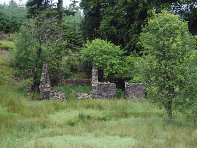
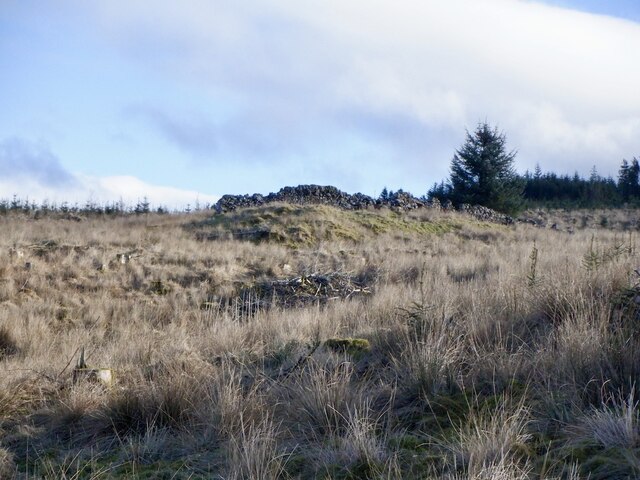
White Cairn is a historic site located in Kirkcudbrightshire, Scotland. It is a prehistoric burial cairn dating back to the Neolithic period, around 4000 to 2000 BC. The cairn is situated on a hilltop, offering panoramic views of the surrounding countryside.

The cairn itself is a circular mound of stones, measuring around 20 meters in diameter. It is thought to have been used as a burial site for the local community, with human remains and artifacts being discovered during excavations in the 19th century.

White Cairn is a designated heritage site, protected by law for its historical significance. Visitors can explore the site and learn about its ancient origins through interpretive signage and guided tours. The site is easily accessible by foot, with a short hike up the hill from the nearest parking area.

White Cairn is a fascinating glimpse into Scotland's ancient past, offering visitors a chance to connect with the people who lived in the area thousands of years ago. It is a must-visit for history enthusiasts and anyone interested in the rich archaeological heritage of Kirkcudbrightshire.

If you have any feedback on the listing, please let us know in the comments section below.
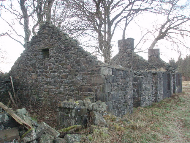
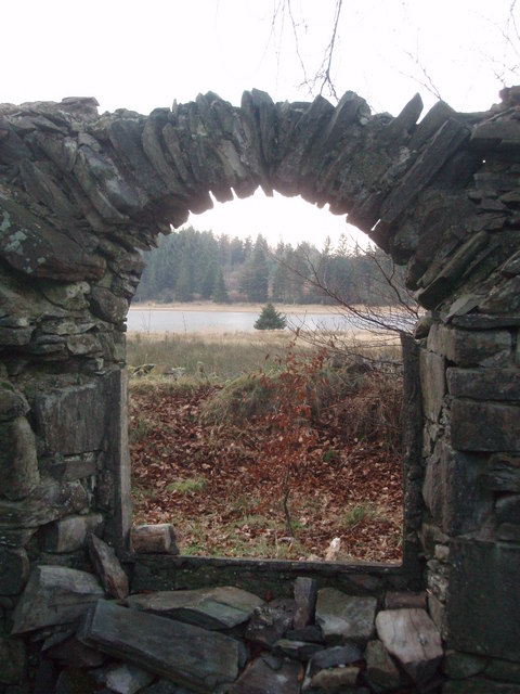
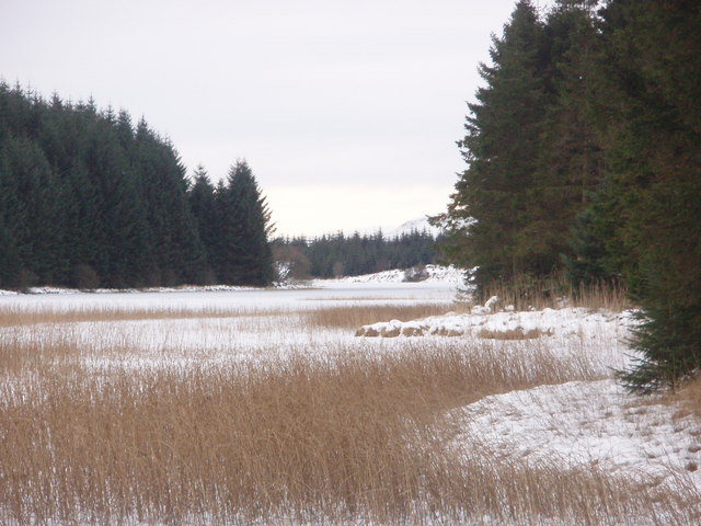
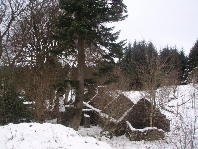
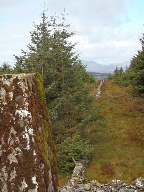
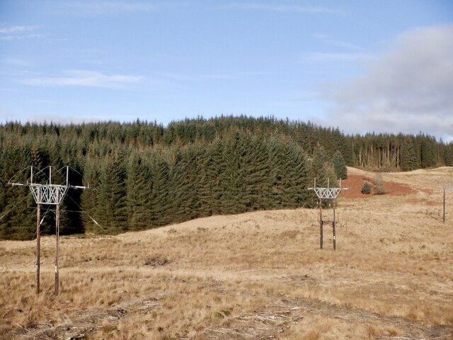
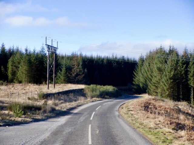
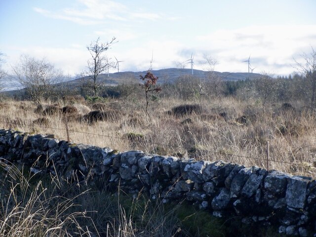
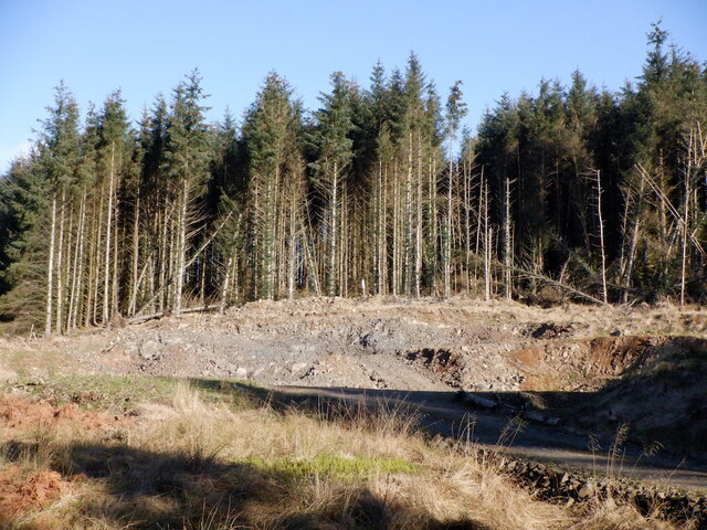
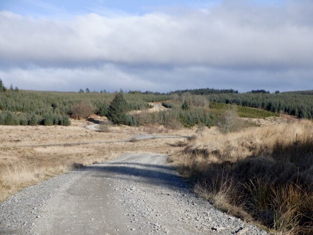
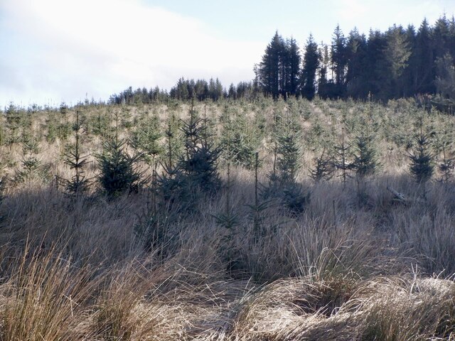
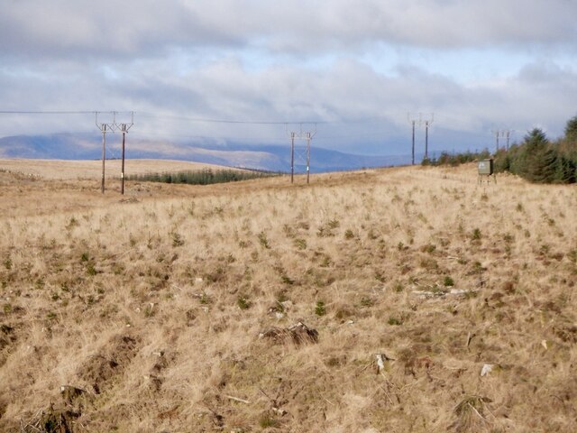
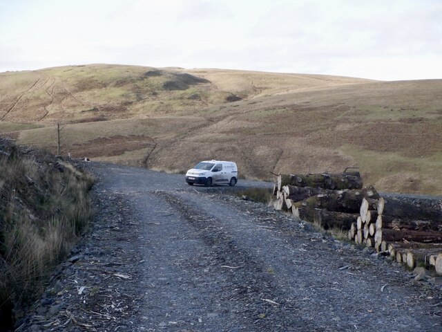
White Cairn Images

Images are sourced within 2km of 55.128/-4.063 or Grid Reference NX6883. Thanks to Geograph Open Source API. All images are credited.

The ruins of Laggan Lodge, Halfmark Forest. This ruined property is almost hidden by large beech trees, and sits in an idyllic location at the east end of Loch Howie.
The ruins of Laggan Lodge, Halfmark Forest.
This ruined property is almost hidden by large beech trees, and sits in an idyllic location at the east end of Loch Howie.
Trig Point on Knocknan (Blackcraig Hill) Knocknan is not shown on OS 1:50,000 maps, it is listed as Blackcraig Hill.
Trig Point on Knocknan (Blackcraig Hill)
Knocknan is not shown on OS 1:50,000 maps, it is listed as Blackcraig Hill.
Trig pillar S7985 - Knocknan or Blackcraig Hill Flush bracket faces 334°, NNW. The pillar was completed on 29th April 1954 costing £42.1s.6d. In 1954 this marker was computed for triangulation as secondary station NX99/18 in the Dumfries secondary block. The flush bracket was levelled for height also in 1954. The trig point was last maintained by the OS in May 1988. This photo was taken from over 20m away from the pillar due to the very steep gradient of the highest slope.
Trig pillar S7985 - Knocknan or Blackcraig Hill
Flush bracket faces 334°, NNW. The pillar was completed on 29th April 1954 costing £42.1s.6d. In 1954 this marker was computed for triangulation as secondary station NX99/18 in the Dumfries secondary block. The flush bracket was levelled for height also in 1954. The trig point was last maintained by the OS in May 1988. This photo was taken from over 20m away from the pillar due to the very steep gradient of the highest slope.
Knocknan or Blackcraig Hill Although mapped as Blackcraig Hill on the 1:50K OS map Landranger 77, the summit rock is indicated as Knocknan on the 1:25K map. The summit is clear of trees, but the views to the northwest are restricted by the growing conifers. The summit is marked by OS trig pillar S7985.
Knocknan or Blackcraig Hill
Although mapped as Blackcraig Hill on the 1:50K OS map Landranger 77, the summit rock is indicated as Knocknan on the 1:25K map. The summit is clear of trees, but the views to the northwest are restricted by the growing conifers. The summit is marked by OS trig pillar S7985.
Laggan Lodge, Halfmark Forest.
Loch Howie from the ruins of Laggan Lodge. This arched window is situated in a bow fronted room at the north gable of the ruins of Laggan Lodge.
Loch Howie from the ruins of Laggan Lodge.
This arched window is situated in a bow fronted room at the north gable of the ruins of Laggan Lodge.
Frozen Loch Howie This image was taken standing on the ice at the NE edge of the loch.
Frozen Loch Howie
This image was taken standing on the ice at the NE edge of the loch.
Snow covers the ruins of Laggan Lodge
Moss covered trig point on Blackcraig Hill Beninner and Moorbrock Hills in the distance. Corriedoo Forest (Forestry Commission land) on the left of the dyke, Halfmark Forest on the right (private forestry)
Moss covered trig point on Blackcraig Hill
Beninner and Moorbrock Hills in the distance. Corriedoo Forest (Forestry Commission land) on the left of the dyke, Halfmark Forest on the right (private forestry)
Power lines, Corriedoo Exporting electricity from Blackcraig substation and the wind farm on Fell Hill. There is very wide gap in the forestry here.
Power lines, Corriedoo
Exporting electricity from Blackcraig substation and the wind farm on Fell Hill. There is very wide gap in the forestry here.
A702 near Corriedoo Powerline from a nearby substation.
A702 near Corriedoo
Powerline from a nearby substation.
Woodland near Corriedoo With the removal of a previous conifer crop it is now possible to see the wind turbines on Fell Hill.
Woodland near Corriedoo
With the removal of a previous conifer crop it is now possible to see the wind turbines on Fell Hill.
Quarry, Margree Forest A recently dug roadstone quarry. The forest road network has been extended.
Quarry, Margree Forest
A recently dug roadstone quarry. The forest road network has been extended.
Road near the site of Stroan The access route into Margree Forest from the A702. It was active, but fortunately the felling was taking place at the furthest end of the network and I was able to get to a few summits and squares.
Road near the site of Stroan
The access route into Margree Forest from the A702. It was active, but fortunately the felling was taking place at the furthest end of the network and I was able to get to a few summits and squares.
Young trees, Stroan A second generation of spruce trees on Stroan Hill.
Young trees, Stroan
A second generation of spruce trees on Stroan Hill.
The site of Stroan Stroan was mapped as a ruin in 1850.
The site of Stroan
Stroan was mapped as a ruin in 1850.
Power line, Margree Forest 132kV line taking electricity from the wind farm supplied Blackcraig substation at Corriedoo. There is a planned substation near here too as a windfarm is planned around Margree.
Power line, Margree Forest
132kV line taking electricity from the wind farm supplied Blackcraig substation at Corriedoo. There is a planned substation near here too as a windfarm is planned around Margree.
Road end, Whitecairn Hill Drainage ditches were being dug out of sight to the right.
Road end, Whitecairn Hill
Drainage ditches were being dug out of sight to the right.
Show me another place!

White Cairn is located at Grid Ref: NX6883 (Lat: 55.128, Lng: -4.063)

Unitary Authority: Dumfries and Galloway

Police Authority: Dumfries and Galloway

What 3 Words

///basis.breeze.shrug. Near Thornhill, Dumfries & Galloway

Nearby Locations

White Cairn

Related Wikis

Loch Howie

Loch Howie is a small, narrow, upland freshwater loch on the north side of Blackcraig Hill, approximately 18 miles (29 km) west of Dumfries, Scotland....

Loch Skae

Loch Skae is a small, upland freshwater loch to the north of Blackcraig Hill, approximately 18 miles (29 km) west of Dumfries, Scotland, 0.5 mi (0.80 km...

Lochinvar

Lochinvar (or Lan Var) is a loch in the civil parish of Dalry in the historic county of Kirkcudbrightshire, Dumfries and Galloway Scotland. It is located...

Barscobe Castle

Barscobe Castle is a 17th-century tower house in Balmaclellan, Kirkcudbrightshire, Scotland. It is a typical house of a country laird, and according to...

Nearby Amenities

Located within 500m of 55.128,-4.063
Power: pole
Lat/Long: 55.1289297/-4.0572676
Design: h-frame
Material: wood
Power: tower
Lat/Long: 55.1290831/-4.0577853
Design: h-frame
Material: wood
Power: tower
Lat/Long: 55.1294005/-4.0587857
Design: h-frame
Material: wood
Power: tower
Lat/Long: 55.1298831/-4.0591516
Design: h-frame
Material: wood
Power: tower
Lat/Long: 55.1303601/-4.0595712
Design: h-frame
Material: wood
Power: tower
Lat/Long: 55.1309383/-4.0600972
Design: h-frame
Material: wood
Power: tower
Lat/Long: 55.1315044/-4.0605801
Design: h-frame
Material: wood
Power: tower
Lat/Long: 55.1320562/-4.0609128
The data included in this document is from www.openstreetmap.org. The data is made available under ODbL.

Have you been to White Cairn?

Leave your review of White Cairn below (or comments, questions and feedback).