Seanachaisteal

Heritage Site in Sutherland

Scotland

Seanachaisteal

Sea from Meall a' Bhuic on Faraid Head A sea square with possible rocks visible at low tide in the south west corner. The rocks on the map did not correspond to what could be seen at this very low tide of 0.3m.
Sea from Meall a' Bhuic on Faraid Head Credit: Chris and Meg Mellish

The requested URL returned error: 429 Too Many Requests

If you have any feedback on the listing, please let us know in the comments section below.

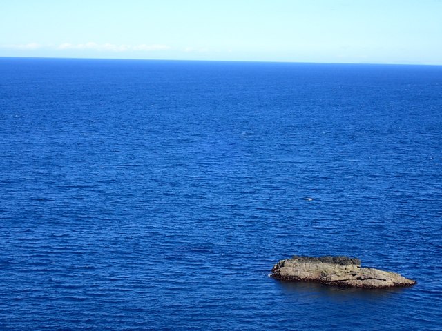
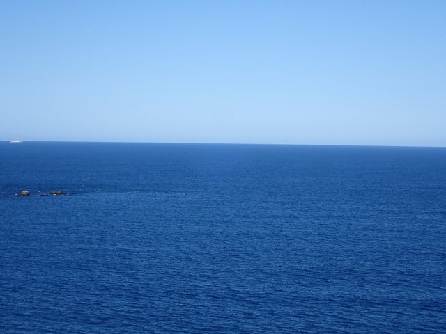
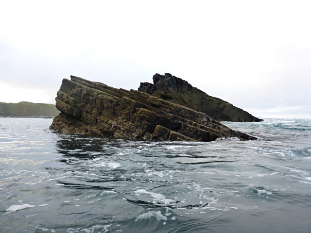
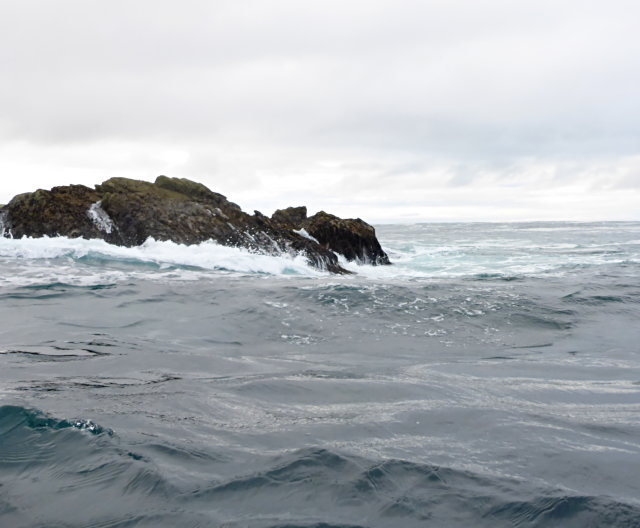
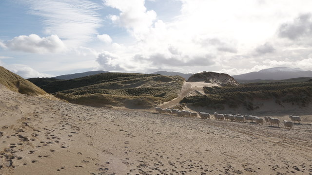
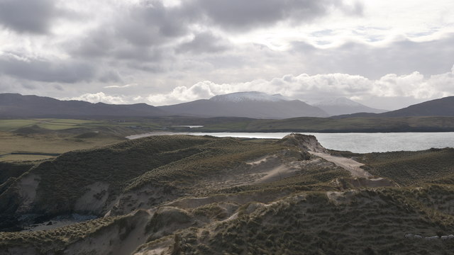
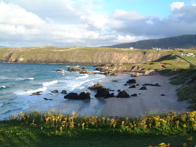
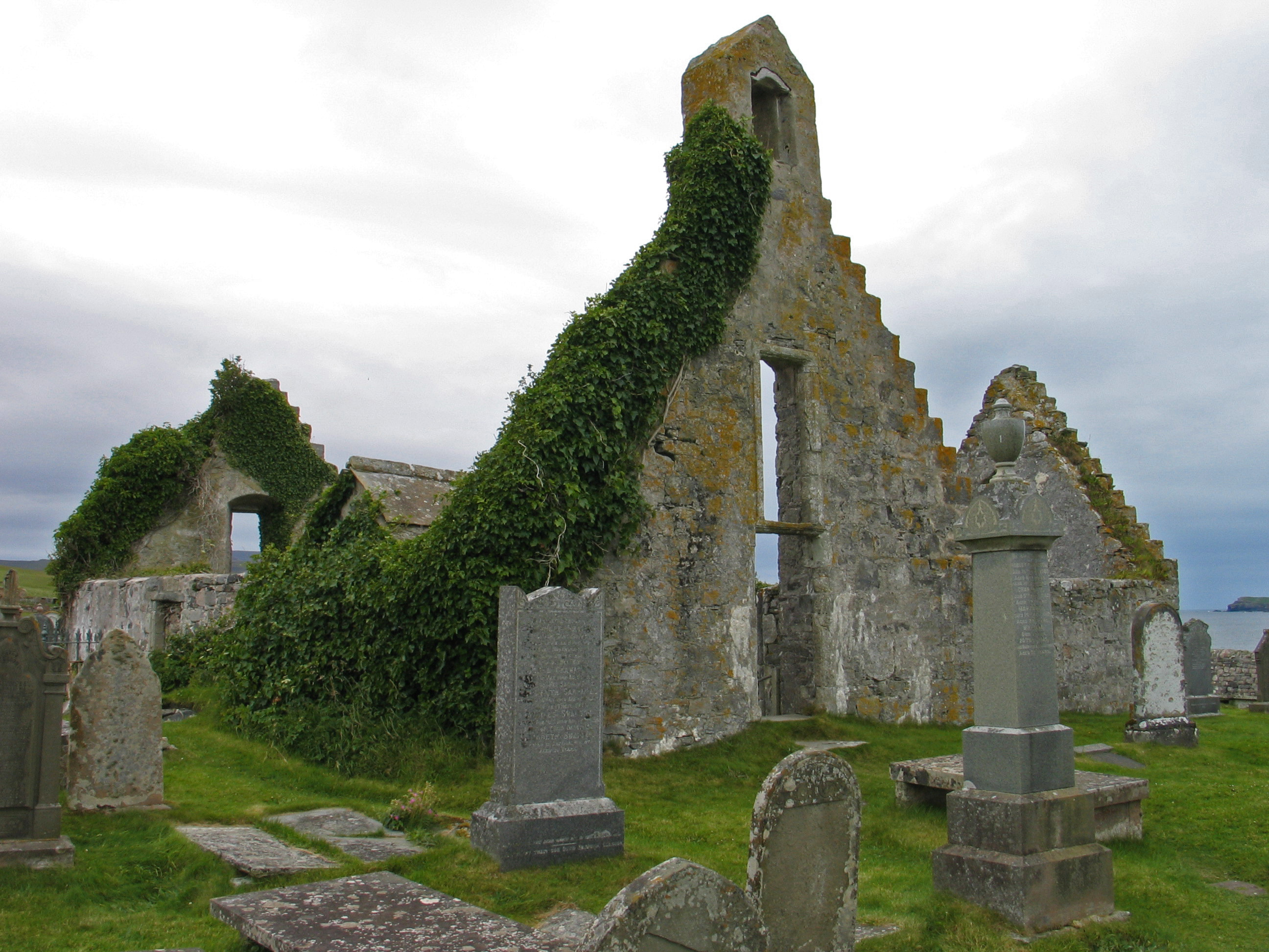
Seanachaisteal Images

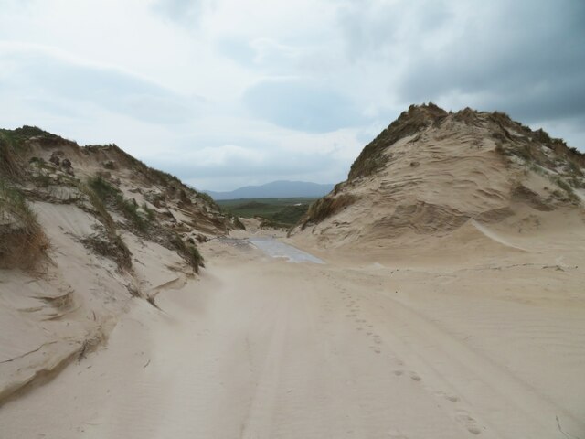
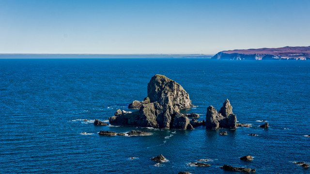
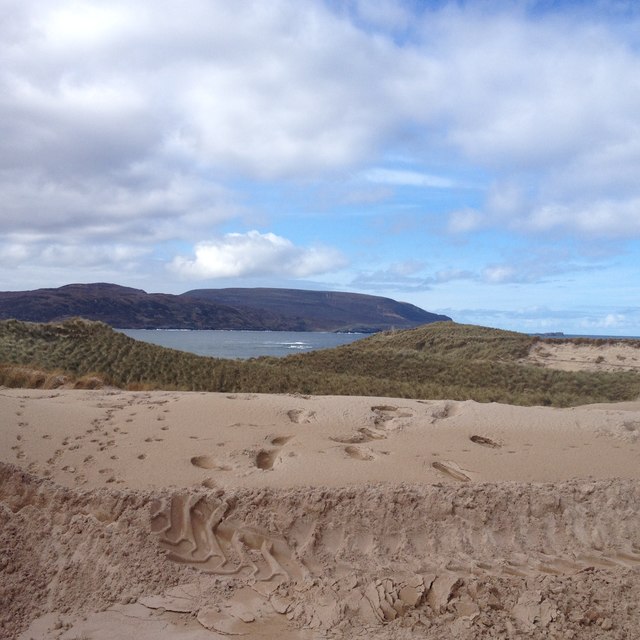
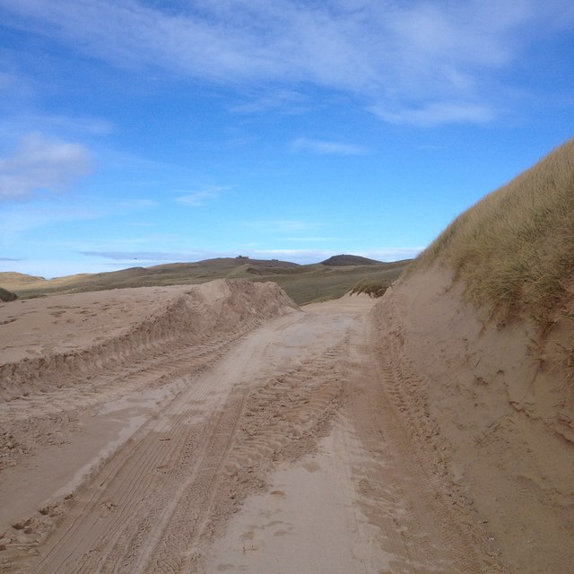
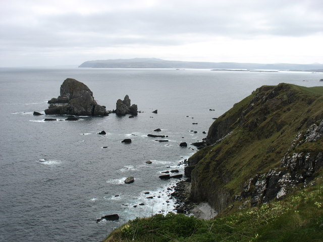
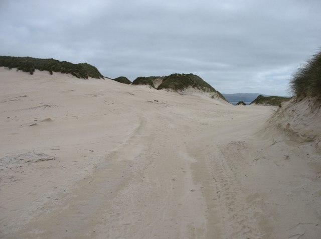
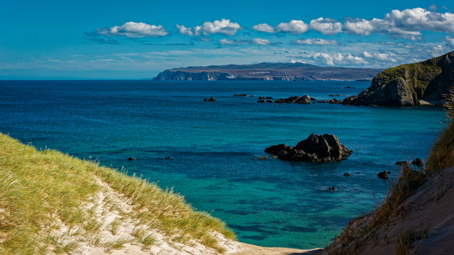
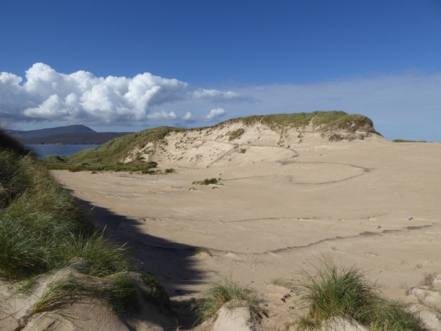
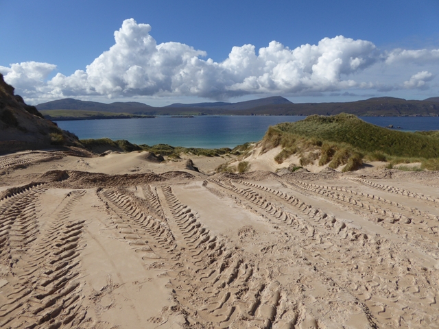
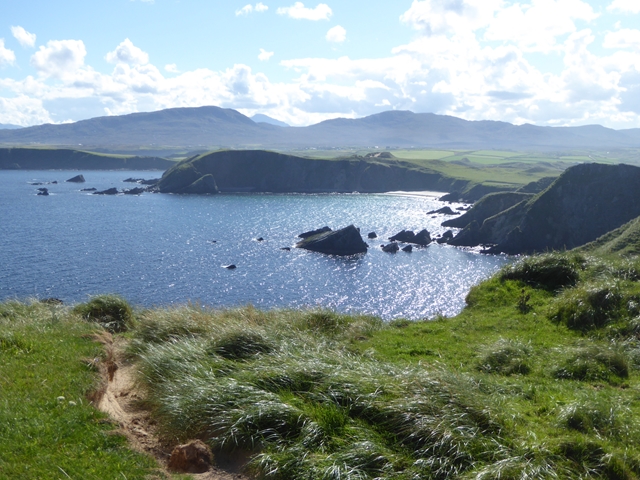
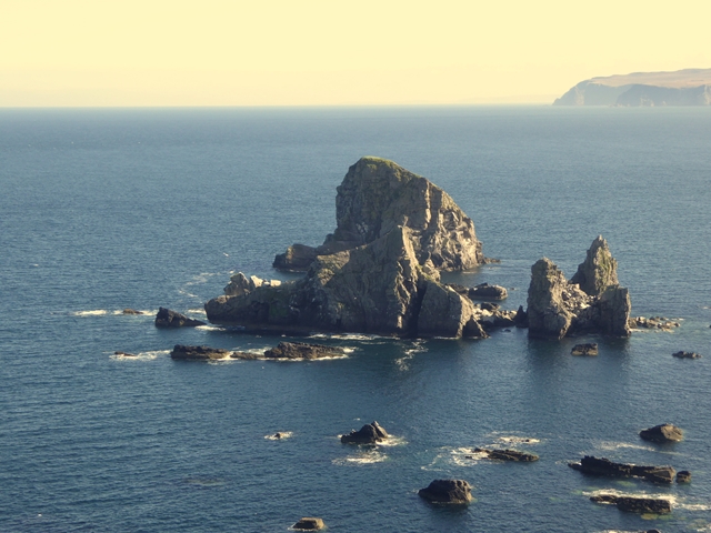
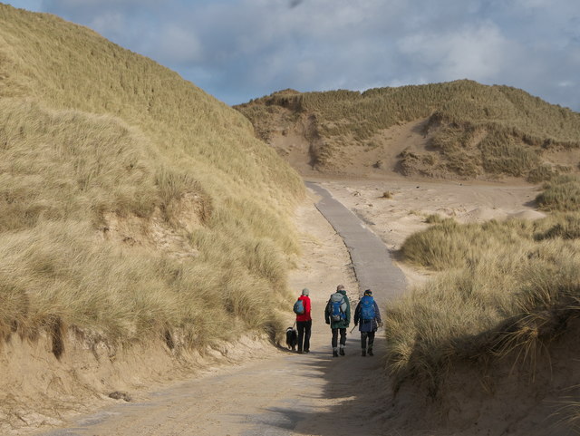
Images are sourced within 2km of 58.585/-4.743 or Grid Reference NC4069. Thanks to Geograph Open Source API. All images are credited.

Sea from Meall a' Bhuic on Faraid Head A sea square with possible rocks visible at low tide in the south west corner. The rocks on the map did not correspond to what could be seen at this very low tide of 0.3m.
Sea from Meall a' Bhuic on Faraid Head
A sea square with possible rocks visible at low tide in the south west corner. The rocks on the map did not correspond to what could be seen at this very low tide of 0.3m.
Sea square to east of Clach Mhor na Faraid This picture was taken at a very low tide of 0.3m. The group of rocks in the left of the picture are the most easterly in a line jutting out from the east side of Faraid Head. We have included them for reference we believe the square starts just to the east of these. There is a navy ship in the distance.
Sea square to east of Clach Mhor na Faraid
This picture was taken at a very low tide of 0.3m. The group of rocks in the left of the picture are the most easterly in a line jutting out from the east side of Faraid Head. We have included them for reference we believe the square starts just to the east of these. There is a navy ship in the distance.
Skerry off Meall a' Bhuic
Tidal rock by Clach Mhòr na Faraid
Route across the sands of the An Fharaid desert There is a small area of tarmac visible in this shot, but the road from Balnakeil out to the installations on the headland is often lost when passing through the extensive dune system. A small convoy of 4 vehicles had recently passed through leaving tyre tracks in the sand.
Route across the sands of the An Fharaid desert
There is a small area of tarmac visible in this shot, but the road from Balnakeil out to the installations on the headland is often lost when passing through the extensive dune system. A small convoy of 4 vehicles had recently passed through leaving tyre tracks in the sand.
Sea Stacks east of Faraid Head
View from track to An Fharaid
Track to An Fharaid
Track to An Fharaid
Clach Mhor na Faraid A 53m sea stack south-east of Faraid Head, with Whiten Head beyond. There is a lower stack, Clach Bheag na Faraid, directly in front of Clach Mhor, and a little study should enable you to distinguish the two.
Clach Mhor na Faraid
A 53m sea stack south-east of Faraid Head, with Whiten Head beyond. There is a lower stack, Clach Bheag na Faraid, directly in front of Clach Mhor, and a little study should enable you to distinguish the two.
The Faraid Head track in the dunes This track leads to the MoD base on Faraid Head. It is tarmacked, but there is a stretch of about a kilometre when the tarmac is usually covered by sand. The track is not, of course, open to the public to drive on, but one can walk all but the final 250 metres to the trig point.

The photographer location is from a GPS reading, but I cannot be certain about the view direction. I formed the impression that in a few places the current route varied from that shown on the maps.
The Faraid Head track in the dunes
This track leads to the MoD base on Faraid Head. It is tarmacked, but there is a stretch of about a kilometre when the tarmac is usually covered by sand. The track is not, of course, open to the public to drive on, but one can walk all but the final 250 metres to the trig point. The photographer location is from a GPS reading, but I cannot be certain about the view direction. I formed the impression that in a few places the current route varied from that shown on the maps.
Looking down on the bay on the east side of Faraid Head
Sand cliff on An Fharaid Part of a huge accumulation of blown sand across the neck of the Faraid Head peninsula.
Sand cliff on An Fharaid
Part of a huge accumulation of blown sand across the neck of the Faraid Head peninsula.
Vehicle tracks on An Fharaid The tarmac road accessing the Cape Wrath Range Installation has been overwhelmed by blown sand at the neck of the Faraid Head peninsula.
Vehicle tracks on An Fharaid
The tarmac road accessing the Cape Wrath Range Installation has been overwhelmed by blown sand at the neck of the Faraid Head peninsula.
Cliffs on the east coast of An Fharaid
Clach Bheag na Faraid and Clach Mhòr na Faraid Two sea stacks off the east coast of the Faraid Head peninsula. The Bheag one is directly in front of the Mhòr one.
Clach Bheag na Faraid and Clach Mhòr na Faraid
Two sea stacks off the east coast of the Faraid Head peninsula. The Bheag one is directly in front of the Mhòr one.
Road through the sand dunes to Faraid Head military installation The OS mapping marks this area of sand dunes most appropriately.  They are a significant feature of the landscape.
Road through the sand dunes to Faraid Head military installation
The OS mapping marks this area of sand dunes most appropriately. They are a significant feature of the landscape.
Sheep in the sand dunes Little to eat in the sand itself, but plenty of grasses in the neighbourhood.
Sheep in the sand dunes
Little to eat in the sand itself, but plenty of grasses in the neighbourhood.
Balnakeil Bay from above the sand dunes Looking south towards snow-covered Beinn Spionnaidh and Foinaven.
Balnakeil Bay from above the sand dunes
Looking south towards snow-covered Beinn Spionnaidh and Foinaven.
Show me another place!

Seanachaisteal is located at Grid Ref: NC4069 (Lat: 58.585, Lng: -4.743)

Unitary Authority: Highlands

Police Authority: Highland and Islands

What 3 Words

///shifters.outgoing.natural. Near Oldshoremore, Highland

Related Wikis

Durness

Durness (Scottish Gaelic: Diùranais) is a village and civil parish in the north-west Highlands of Scotland. It lies on the north coast of the country in...

Balnakeil

Balnakeil is a hamlet in the parish of Durness, Sutherland, Scottish Highlands, and is in the Scottish council area of Highland. It is on the north coast...
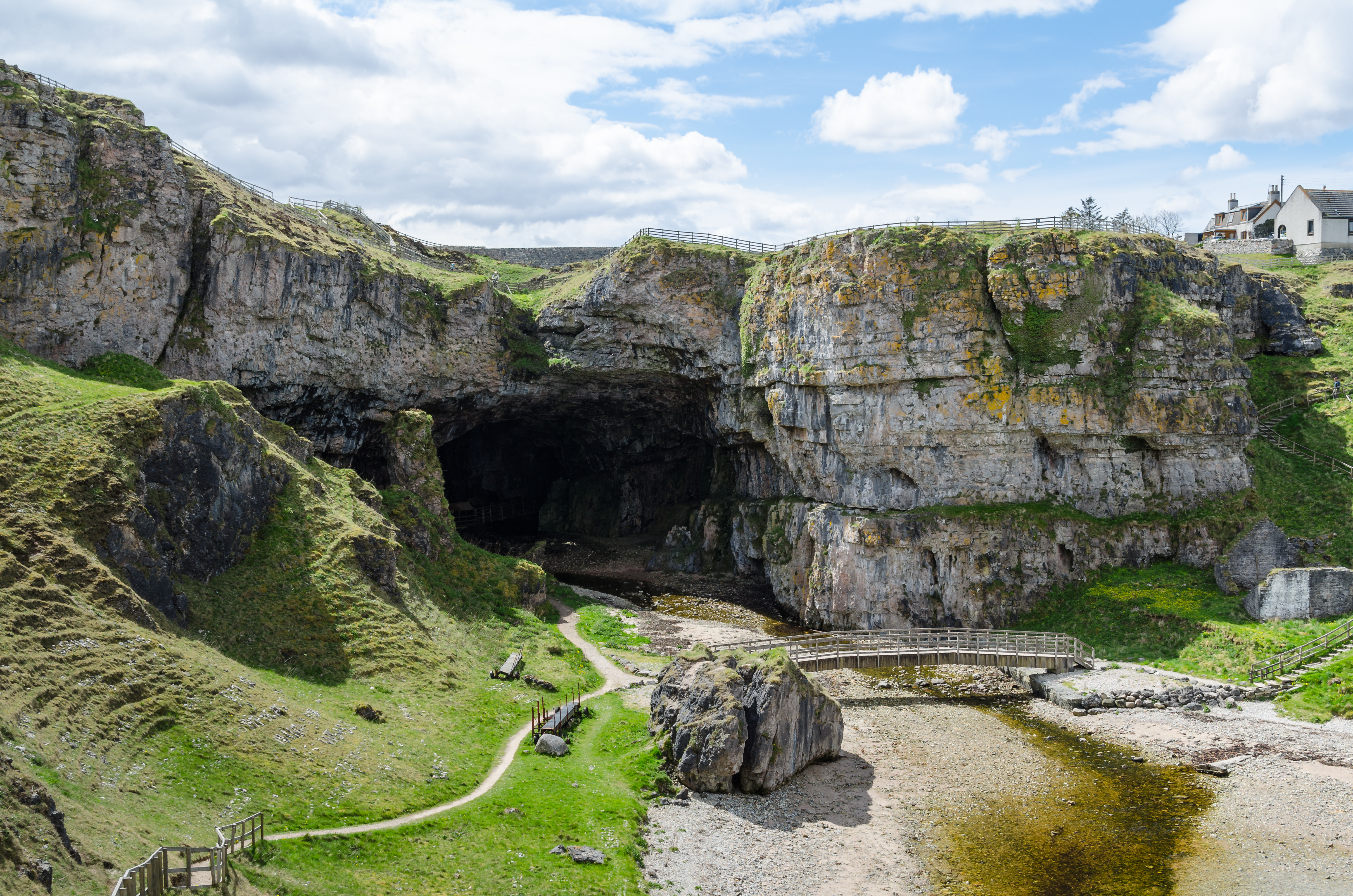
Smoo Cave

Smoo Cave is a large combined sea cave and freshwater cave in Durness in Sutherland, Highland, Scotland. The cave name is thought to originate from the...

Faraid Head

Faraid Head (Scottish Gaelic: An Fharaird) is a small peninsula on the northern coast of Sutherland, Highland, Scotland, located around 2 miles (3 kilometres...

Nearby Amenities

Located within 500m of 58.585,-4.743
Aodann Mhor
Place: locality
Lat/Long: 58.5818851/-4.7430545
The data included in this document is from www.openstreetmap.org. The data is made available under ODbL.

Have you been to Seanachaisteal ?

Leave your review of Seanachaisteal below (or comments, questions and feedback).