Scotsborough House

Heritage Site in Pembrokeshire

Wales

Scotsborough House

Old Water Pump, Holloway Hill, Penally
Old Water Pump, Holloway Hill, Penally Credit: welshbabe

The requested URL returned error: 429 Too Many Requests

If you have any feedback on the listing, please let us know in the comments section below.

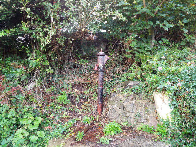
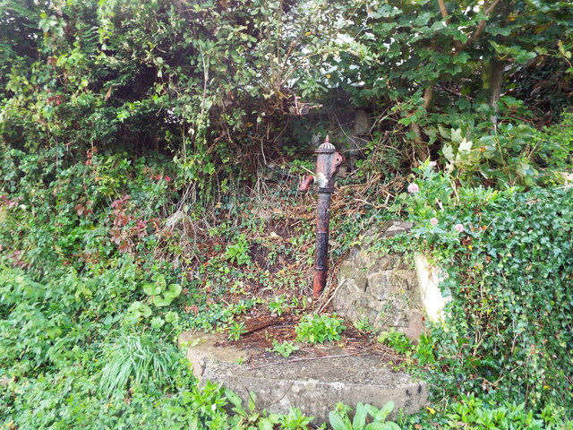
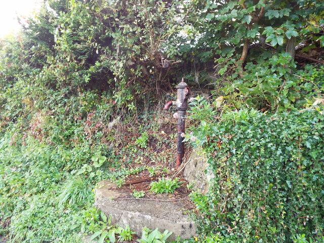
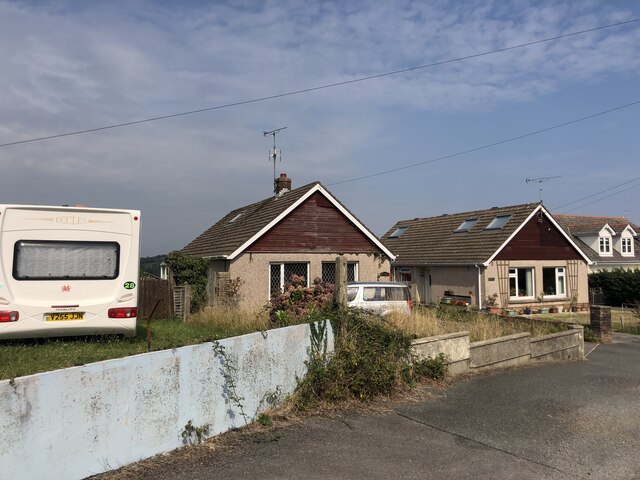
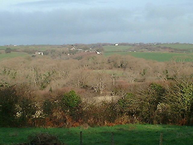
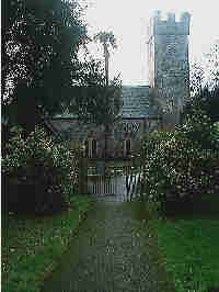
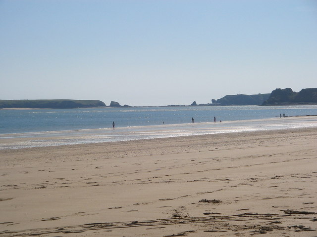
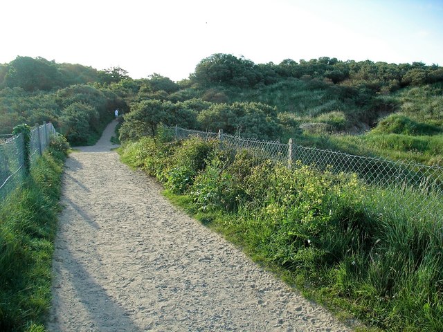
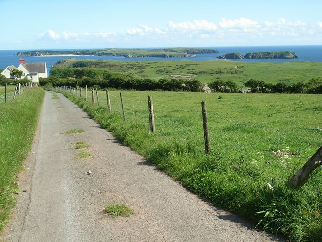
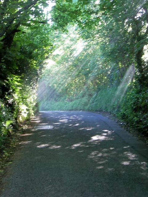
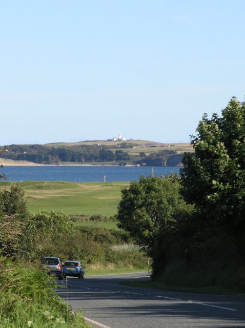
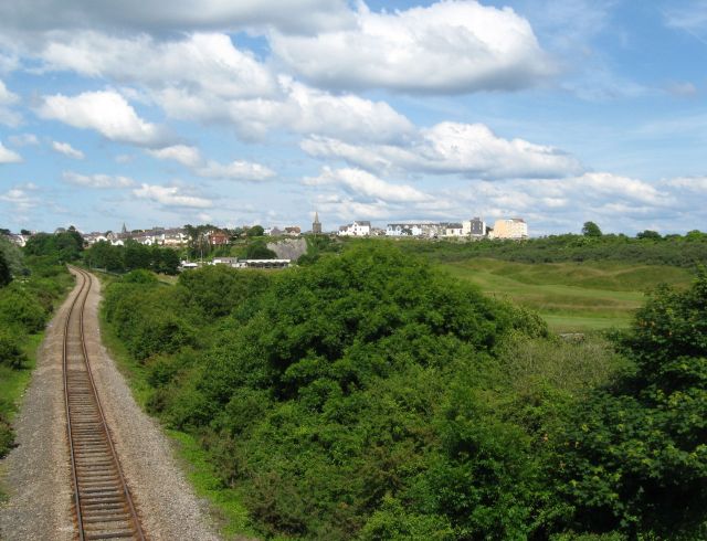
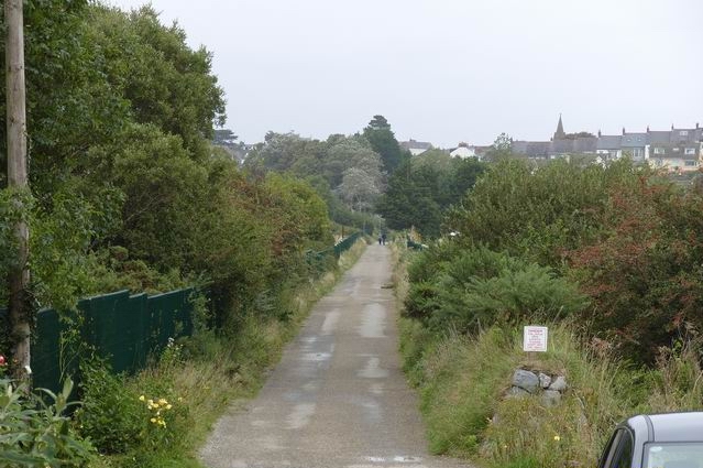
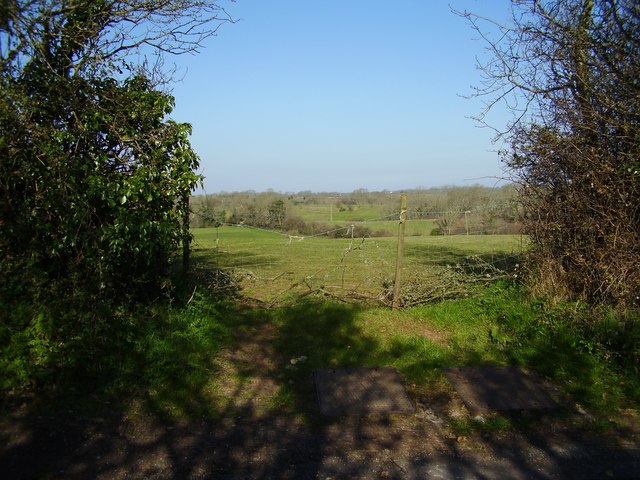
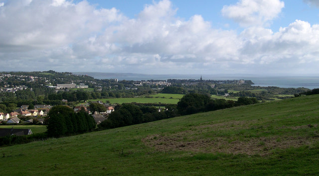
Scotsborough House Images

Images are sourced within 2km of 51.68/-4.727 or Grid Reference SN1101. Thanks to Geograph Open Source API. All images are credited.

Old Water Pump, Holloway Hill, Penally
Old Water Pump, Holloway Hill, Penally Maker's detail
Old Water Pump, Holloway Hill, Penally
Maker's detail
Old Water Pump, Holloway Hill, Penally
Bungalows on Holloway Hill, Penally
Gumfreston from Frankleston The view is across the Ritec River valley towards Gumfreston taken from the slopes of the Ridgeway an ancient road between Tenby and Pembroke.
Gumfreston from Frankleston
The view is across the Ritec River valley towards Gumfreston taken from the slopes of the Ridgeway an ancient road between Tenby and Pembroke.
Penally Church
Penally Church
Tenby Beach Tenby Beach late afternoon in April
Tenby Beach
Tenby Beach late afternoon in April
Footpath to the beach Golf course to left and right, beach straight ahead, beyond The Burrows- the area of dunes.
Footpath to the beach
Golf course to left and right, beach straight ahead, beyond The Burrows- the area of dunes.
Tenby Golf Course The oldest golf course in Wales.
Looking towards the clubhouse and the town beyond. Only the groundstaff have been on the course so far this morning, leaving their tracks in the dewy grass.
Tenby Golf Course
The oldest golf course in Wales. Looking towards the clubhouse and the town beyond. Only the groundstaff have been on the course so far this morning, leaving their tracks in the dewy grass.
Railway line to Tenby As seen from Black Rock Bridge.
Railway line to Tenby
As seen from Black Rock Bridge.
View of Caldey Island from Strawberry Lane Looking down Strawberry Lane as it descends into Penally. Giltar Point is the end of the headland, with a clear view of Caldey Island and the smaller St. Margaret's Island to the right.
View of Caldey Island from Strawberry Lane
Looking down Strawberry Lane as it descends into Penally. Giltar Point is the end of the headland, with a clear view of Caldey Island and the smaller St. Margaret's Island to the right.
Sunlight penetrates the lane. Shafts of sunlight are picked out with the faint traces of smoke from a bonfire lower down the valley.
Sunlight penetrates the lane.
Shafts of sunlight are picked out with the faint traces of smoke from a bonfire lower down the valley.
Caldey Island, as seen from the A4139 As the A4139 sweeps past the village of Penally, a stunning view can be seen looking over Caldey Sound to Caldey Island, where Caldey Island lighthouse can be seen standing prominently on the island's highest hill. This view can also be enjoyed from many locations in and around Penally.
Caldey Island, as seen from the A4139
As the A4139 sweeps past the village of Penally, a stunning view can be seen looking over Caldey Sound to Caldey Island, where Caldey Island lighthouse can be seen standing prominently on the island's highest hill. This view can also be enjoyed from many locations in and around Penally.
View towards Tenby from the railway bridge Showing the railway line from Penally (and ultimately Pembroke), and part of the golf course lying between it and the beach. 

St Mary's church is prominent in the skyline of Tenby about a mile away.
View towards Tenby from the railway bridge
Showing the railway line from Penally (and ultimately Pembroke), and part of the golf course lying between it and the beach. St Mary's church is prominent in the skyline of Tenby about a mile away.
Footpath To Tenby
Footpath To Tenby
Looking up the Ritec Valley from The Ridgeway
Tenby from Ritec Walk View of Tenby from path near Strawberry Lane.
Tenby from Ritec Walk
View of Tenby from path near Strawberry Lane.
Show me another place!

Scotsborough House is located at Grid Ref: SN1101 (Lat: 51.68, Lng: -4.727)

Unitary Authority: Pembrokeshire

Police Authority: Dyfed Powys

What 3 Words

///mornings.blaring.highly. Near Tenby, Pembrokeshire

Nearby Locations

Scotsborough House

Related Wikis

Gumfreston

Gumfreston is a parish and small village 1 mile (1.6 km) from St. Florence and 2 miles (3.2 km) from Tenby, south Pembrokeshire, Wales. It is in the community...

Limekilns at Kiln Park, Pembrokeshire

The limekilns at Kiln Park are heritage listed disused limekilns now located in the grounds of a holiday park, Kiln Park, near the village of Penally,...

St Mary Out Liberty

St Mary Out Liberty (also known as Tenby St Mary Out Liberty) is a community in the southeast of Pembrokeshire, Wales. The community was established in...

Tenby railway station

Tenby railway station in Tenby is on the Pembroke Dock branch of the West Wales Line operated by Transport for Wales Rail, who also manage the station...

Nearby Amenities

Located within 500m of 51.68,-4.727
Power: pole
Lat/Long: 51.6760498/-4.7278172
Power: pole
Lat/Long: 51.6778278/-4.7286299
Power: pole
Lat/Long: 51.6809012/-4.7303197
Power: pole
Lat/Long: 51.6820221/-4.7303519
The data included in this document is from www.openstreetmap.org. The data is made available under ODbL.

Have you been to Scotsborough House?

Leave your review of Scotsborough House below (or comments, questions and feedback).