Queen's Oak
Heritage Site in Suffolk
England
Queen's Oak
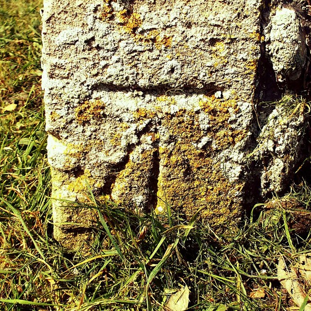
Queen's Oak is a significant heritage site located in the county of Suffolk, England. This ancient oak tree holds great historical and cultural importance, with its roots dating back hundreds of years. The tree is believed to have been a gathering place for the local community since medieval times.
Located in a picturesque countryside setting, Queen's Oak has a massive trunk, measuring over 10 meters in circumference. The tree's majestic branches spread out widely, providing shade and shelter to visitors who come to admire its grandeur. The oak stands tall at a height of around 20 meters, making it an imposing feature of the landscape.
Legend has it that Queen Elizabeth I took shelter under this very tree during one of her visits to Suffolk. It is said that she was caught in a sudden downpour and sought protection beneath the ancient oak's branches. This event is believed to have given the tree its name, as it became known as Queen's Oak after the queen's visit.
The site has been carefully preserved over the years, and a small park has been created around the tree to provide a peaceful area for visitors to enjoy. Interpretive signs and information boards are placed strategically to educate visitors about the tree's history and significance.
Queen's Oak continues to be a popular destination for tourists and locals alike, attracting nature enthusiasts, history buffs, and those seeking a tranquil spot to relax. Its enduring presence serves as a reminder of the region's rich cultural heritage and its ties to England's royal history.
If you have any feedback on the listing, please let us know in the comments section below.
Queen's Oak Images
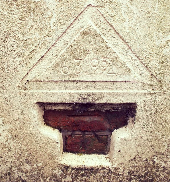
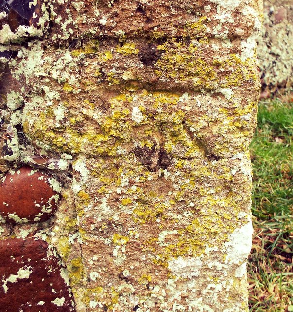
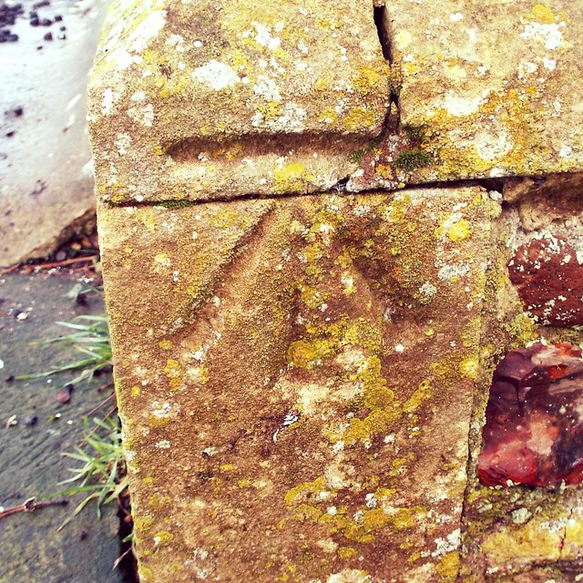
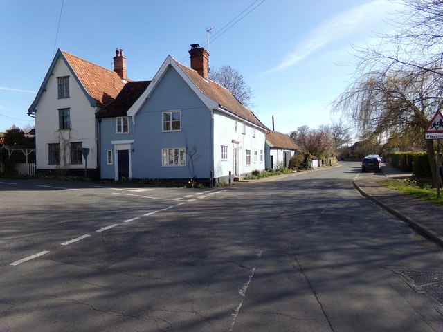
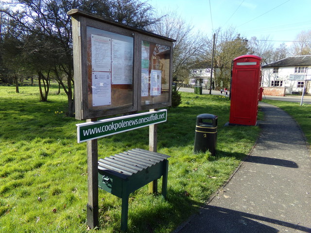
Images are sourced within 2km of 52.318/1.442 or Grid Reference TM3474. Thanks to Geograph Open Source API. All images are credited.
Queen's Oak is located at Grid Ref: TM3474 (Lat: 52.318, Lng: 1.442)
What 3 Words
///handicaps.boosted.movies. Near Cookley, Suffolk
Nearby Locations
Related Wikis

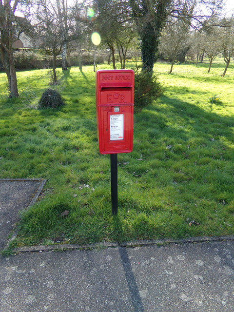
Cookley, Suffolk
Cookley is a small village and civil parish in the East Suffolk district, in the east of the county of Suffolk, England. Nearby settlements include the...
Huntingfield, Suffolk
Huntingfield is a village near the B1117 road, in the East Suffolk district, in the county of Suffolk, England. The village is close to the source of the...
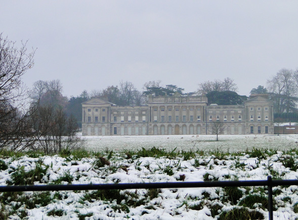
Heveningham Hall
Heveningham Hall is a Grade I listed building in Heveningham, Suffolk. The first house on the site was built for the politician and regicide William Heveningham...
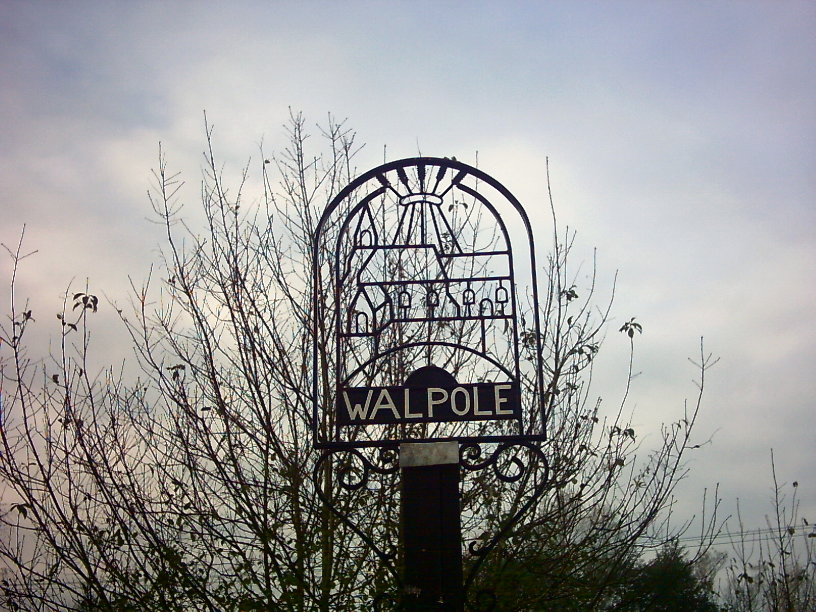
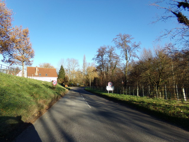
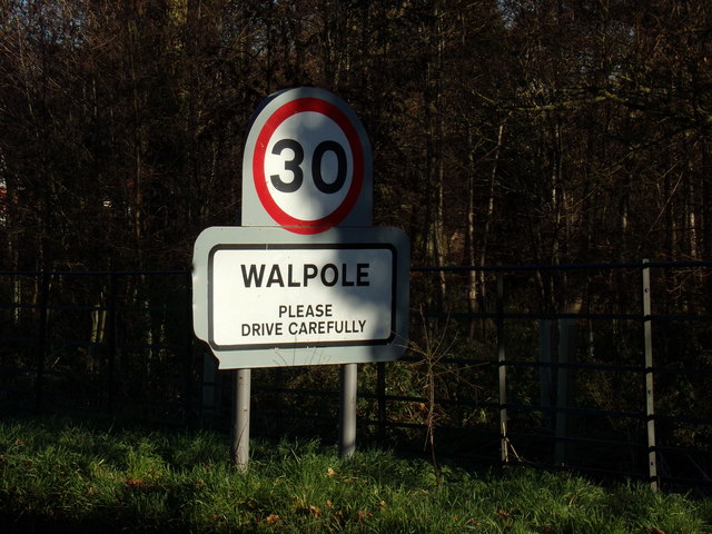
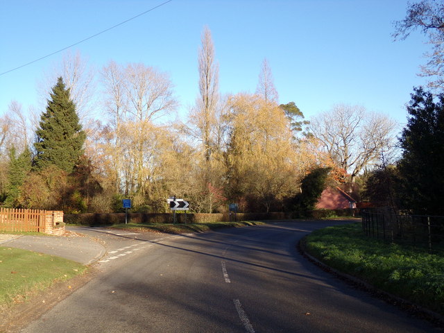
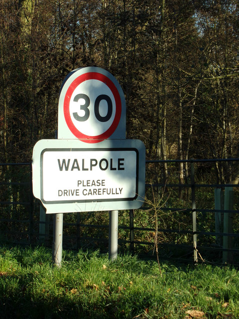
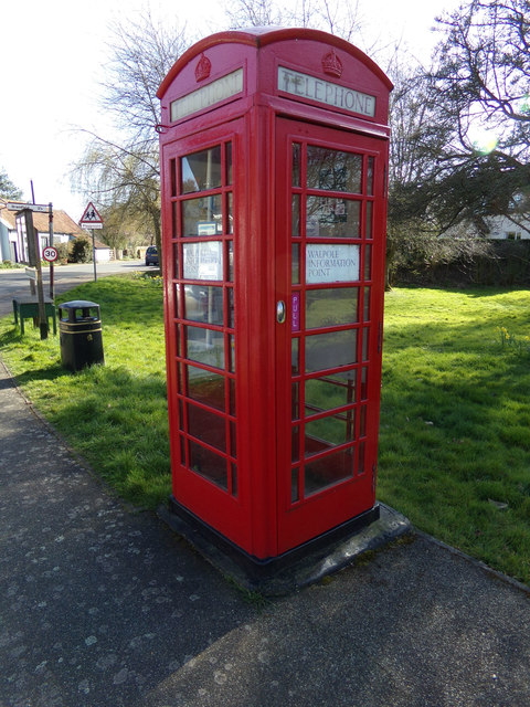
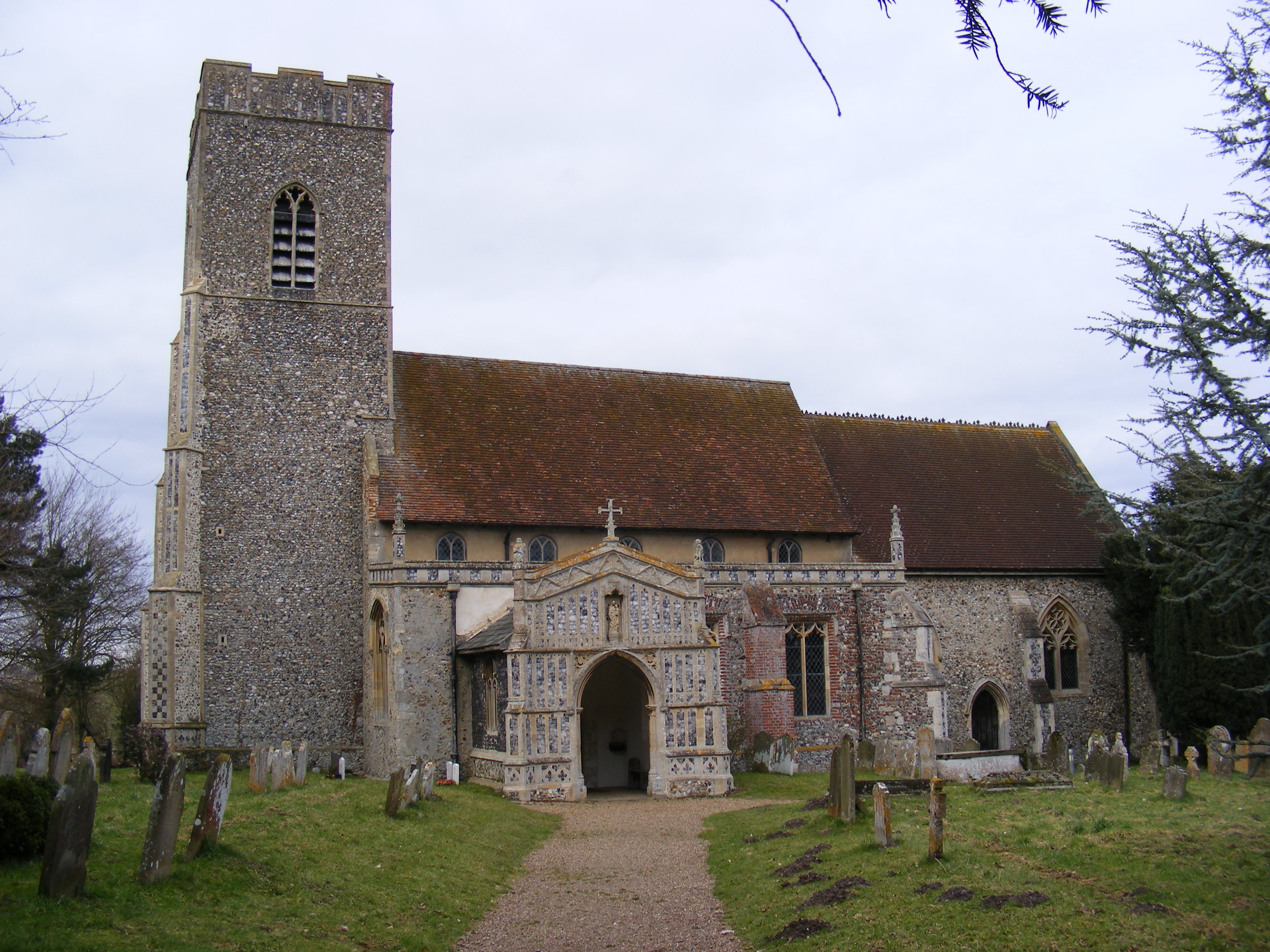
Walpole, Suffolk
Walpole is a small village and civil parish in the district of East Suffolk in Suffolk, England. Walpole has a parish church (dedicated to St Mary), a...
Have you been to Queen's Oak?
Leave your review of Queen's Oak below (or comments, questions and feedback).