Middleton Hall

Heritage Site in Westmorland South Lakeland

England

Middleton Hall

High Road near Middleton Hall High in the sense of being a bit further up the hillside than the main road near the river, rather than any sense of importance.
High Road near Middleton Hall Credit: Stephen Craven

Middleton Hall is a historic mansion located in the county of Westmorland, England. Situated near the village of Middleton, the hall is a well-known heritage site that dates back to the medieval period.

Originally built in the 13th century, Middleton Hall has undergone various architectural transformations over the centuries. The oldest part of the hall is the Great Hall, which features an impressive timber roof and ornate plasterwork. The hall also boasts a beautiful Tudor courtyard, which was added in the 16th century, and includes a stunning gatehouse.

The hall has a rich history, with notable owners including the Bellingham and Hasell families. In the 19th century, the iconic landscape architect Capability Brown was commissioned to redesign the hall's gardens, adding his signature style of naturalistic landscaping. Today, visitors can still admire the picturesque gardens, complete with serene lakes, winding paths, and vibrant flora.

In addition to its architectural and natural beauty, Middleton Hall offers visitors a glimpse into the past with its museum and exhibitions. The museum showcases a fascinating collection of artifacts, artworks, and historical memorabilia, providing insight into the hall's history and the local area. There are also regular events and activities held at the hall, including guided tours, workshops, and cultural festivals.

Overall, Middleton Hall in Westmorland is a captivating heritage site that combines stunning architecture, picturesque gardens, and a wealth of historical significance. It is a must-visit destination for history enthusiasts, architecture lovers, and nature admirers alike.

If you have any feedback on the listing, please let us know in the comments section below.

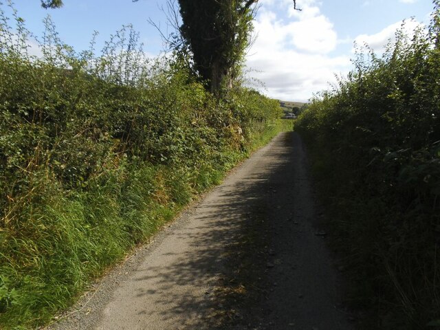
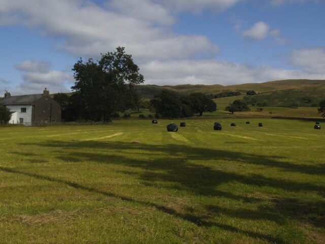
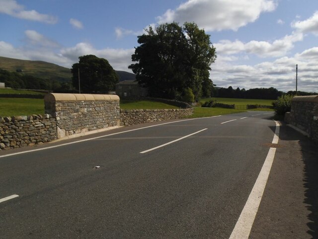
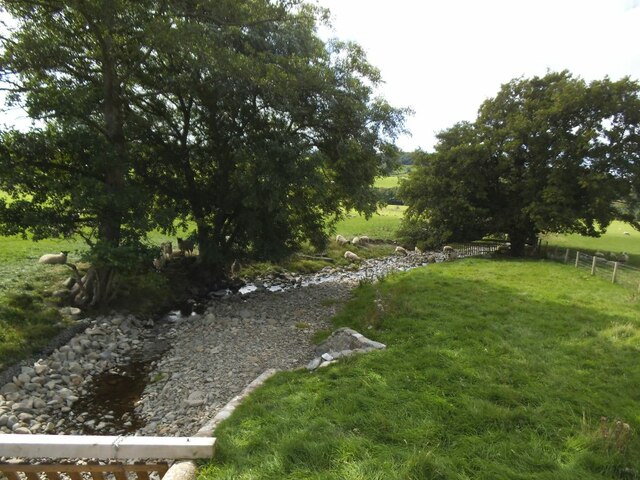
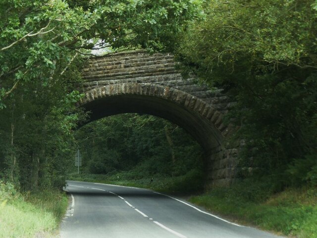
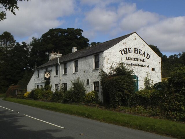
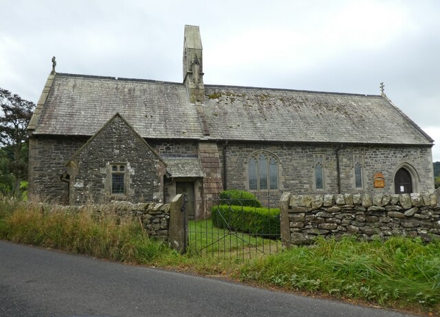
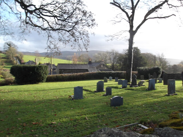
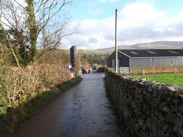
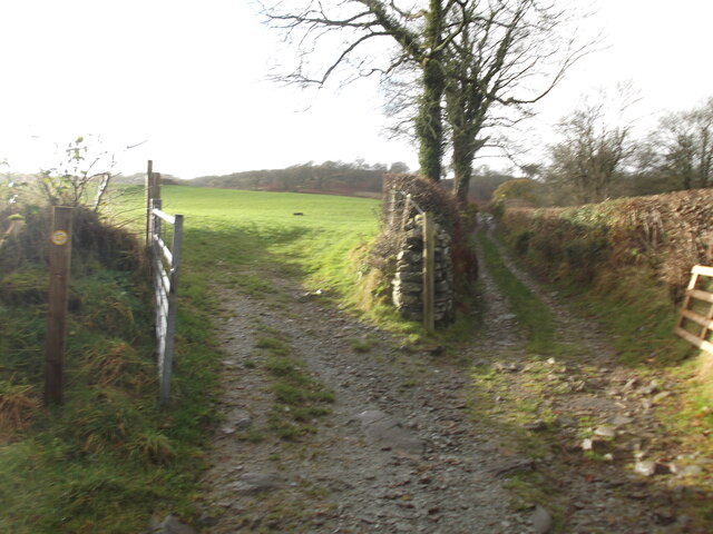
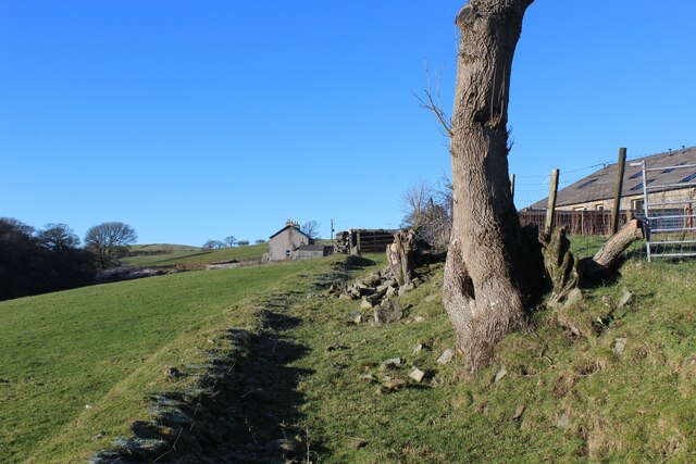
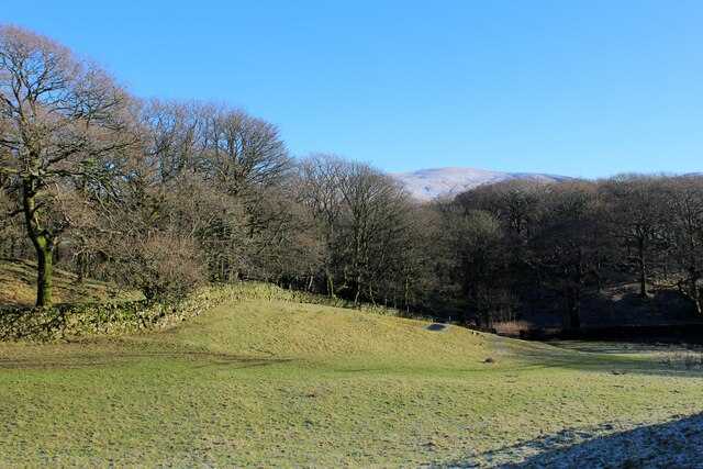
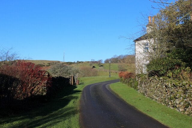
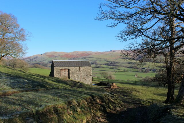
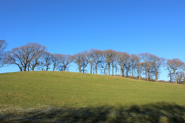
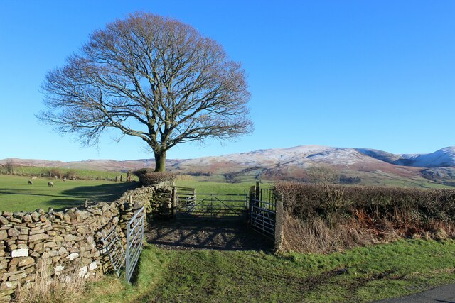
Middleton Hall Images

Images are sourced within 2km of 54.282/-2.575 or Grid Reference SD6287. Thanks to Geograph Open Source API. All images are credited.

High Road near Middleton Hall High in the sense of being a bit further up the hillside than the main road near the river, rather than any sense of importance.
High Road near Middleton Hall
High in the sense of being a bit further up the hillside than the main road near the river, rather than any sense of importance.
Bales at High Green Probably bales of haylage.
Bales at High Green
Probably bales of haylage.
The rebuilt Middleton Hall Bridge The bridge carries the A683 over what is normally a minor beck <a href="https://www.geograph.org.uk/photo/6814291">SD6287 : The Middleton Hall Beck</a>.  But it was damaged by 'Storm Desmond' in December 2015 and after a few years of a temporary bridge, this permanent replacement opened on 2 August 2019.  It cost £550,000 and is constructed from pre-cast concrete, with rock armour on the bank of the stream  to protect the bridge from future scouring. Source: <span class="nowrap"><a title="https://news.cumbria.gov.uk/News/2019/middletonhallbridgereplacementsettoopen.aspx" rel="nofollow ugc noopener" href="https://news.cumbria.gov.uk/News/2019/middletonhallbridgereplacementsettoopen.aspx">Link</a><img style="margin-left:2px;" alt="External link" title="External link - shift click to open in new window" src="https://s1.geograph.org.uk/img/external.png" width="10" height="10"/></span>
The rebuilt Middleton Hall Bridge
The bridge carries the A683 over what is normally a minor beck SD6287 : The Middleton Hall Beck. But it was damaged by 'Storm Desmond' in December 2015 and after a few years of a temporary bridge, this permanent replacement opened on 2 August 2019. It cost £550,000 and is constructed from pre-cast concrete, with rock armour on the bank of the stream to protect the bridge from future scouring. Source: LinkExternal link
Middleton Hall Beck Normally a minor beck but as flash flood in 'Storm Desmond' in December 2015 was enough to destroy the road bridge which has since been rebuilt <a href="https://www.geograph.org.uk/photo/6983156">SD6287 : The rebuilt Middleton Hall Bridge</a>.
Middleton Hall Beck
Normally a minor beck but as flash flood in 'Storm Desmond' in December 2015 was enough to destroy the road bridge which has since been rebuilt SD6287 : The rebuilt Middleton Hall Bridge.
Former railway bridge over the A683 at Middleton The railway was the LMS route one between the 'Little North Western' line at Clapham and their main line to Scotland at Lowgill, via Ingleton. There was a station at Middleton a few hundred metres to the north (left) of this bridge. It last saw regular trains in 1954 and the track was lifted in 1967.  <a href="https://www.geograph.org.uk/photo/6375988">SD6288 : Ex-LNWR Railway Bridge</a> is a view from the other side the previous year.
Former railway bridge over the A683 at Middleton
The railway was the LMS route one between the 'Little North Western' line at Clapham and their main line to Scotland at Lowgill, via Ingleton. There was a station at Middleton a few hundred metres to the north (left) of this bridge. It last saw regular trains in 1954 and the track was lifted in 1967. SD6288 : Ex-LNWR Railway Bridge is a view from the other side the previous year.
The Middleton Head A pub on the A683 south of Sedbergh. Named as the Railway Tavern, a 'beer house', on the 1899 map.  There was a railway station nearby on the Ingleton and Tebay line until passenger services ceased in 1931, but the fact that the tavern was several hundred metres away suggests it pre-dates the opening of the railway in 1861.
The Middleton Head
A pub on the A683 south of Sedbergh. Named as the Railway Tavern, a 'beer house', on the 1899 map. There was a railway station nearby on the Ingleton and Tebay line until passenger services ceased in 1931, but the fact that the tavern was several hundred metres away suggests it pre-dates the opening of the railway in 1861.
Church of the Holy Ghost, Middleton
Cemetery, Killington
Entrance to farm at Hallbeck A cul-de-sac path unless you want to wade across the Lune!
Entrance to farm at Hallbeck
A cul-de-sac path unless you want to wade across the Lune!
Choice of paths The public footpath actually goes off to the left!
Choice of paths
The public footpath actually goes off to the left!
Bridleway heading towards Beckside Section of bridleway between Beckside and Aikrigg
Bridleway heading towards Beckside
Section of bridleway between Beckside and Aikrigg
Bridleway heading towards Aikrigg
Horseclose Wood
Horseclose Wood
Passing Harprigg
Passing Harprigg
Low Harprigg Well preserved stone barn occupying a spot with a wonderful view over Lunedale
Low Harprigg
Well preserved stone barn occupying a spot with a wonderful view over Lunedale
Line of Trees near Harprigg
Pastures beside the Access Lane to Harprigg
A683 towards Sedbergh
Show me another place!

Middleton Hall is located at Grid Ref: SD6287 (Lat: 54.282, Lng: -2.575)

Administrative County: Cumbria

District: South Lakeland

Police Authority: Cumbria

What 3 Words

///stormed.focal.lends. Near Sedbergh, Cumbria

Related Wikis

Middleton-on-Lune railway station

Middleton-on-Lune railway station was located in Westmorland, England, (now in Cumbria), serving the hamlet and rural locale of Middleton on the Ingleton...

Beckside

Beckside is a village in Cumbria, England.

Middleton, Cumbria

Middleton is a village and a civil parish on the A683 road, in the South Lakeland district, in the county of Cumbria, England. Middleton has a church called...

Killington, Cumbria

Killington is a village and civil parish in the South Lakeland district of the county of Cumbria, England. It had a population of 152 in 2001, At the...

River Rawthey

The River Rawthey is a river in Cumbria in northwest England. The headwaters of the Rawthey are at Rawthey Gill Foot, where Rawthey Gill meets Haskhaw...

Brigflatts Meeting House

Brigflatts Meeting House or Briggflatts Meeting House is a Friends Meeting House of the Religious Society of Friends (Quakers), near Sedbergh, Cumbria...

River Dee, Cumbria

The River Dee is a river running through the extreme south east of Cumbria, a part of the Craven region traditionally part of the West Riding of Yorkshire...

Calf Top

Calf Top is a mountain in the western part of the Yorkshire Dales, England. It is located in the county of Cumbria, although Lancashire and North Yorkshire...

Related Videos

Holme Farm Campsite Review

With this video I visit and spend two nights at a very nice campsite in the Lune Valley, Cumbria, near the picturesque town of ...

Nearby Amenities

Located within 500m of 54.282,-2.575
Middleton Hall
Place: hamlet
Lat/Long: 54.2805297/-2.5766498
Power: pole
Lat/Long: 54.277903/-2.5759453
Power: pole
Lat/Long: 54.2784526/-2.575382
Power: pole
Lat/Long: 54.2792231/-2.5744969
Power: pole
Lat/Long: 54.2800296/-2.5736278
Power: pole
Lat/Long: 54.2807843/-2.5728124
Power: pole
Lat/Long: 54.2817301/-2.5732052
Power: pole
Lat/Long: 54.2826618/-2.5719595
Power: pole
Lat/Long: 54.2836029/-2.5710529
Power: pole
Lat/Long: 54.2843404/-2.5703421
Power: pole
Lat/Long: 54.2851561/-2.5695616
Give Way
Direction: forward
Lat/Long: 54.2804611/-2.5780695
Power: pole
Lat/Long: 54.285892/-2.5714418
Power: pole
Lat/Long: 54.2849808/-2.5718522
Power: pole
Lat/Long: 54.2840491/-2.5722197
Power: pole
Lat/Long: 54.2834635/-2.5724584
Power: pole
Lat/Long: 54.2826305/-2.572858
Power: pole
Lat/Long: 54.2817432/-2.5728843
Power: pole
Lat/Long: 54.2808266/-2.5721338
Power: pole
Lat/Long: 54.280039/-2.5714579
Power: pole
Lat/Long: 54.2792231/-2.5708061
Power: pole
Lat/Long: 54.2806667/-2.5748243
Power: pole
Lat/Long: 54.2805796/-2.5737572
The data included in this document is from www.openstreetmap.org. The data is made available under ODbL.

Have you been to Middleton Hall?

Leave your review of Middleton Hall below (or comments, questions and feedback).