Middlebere and Hartland
Heritage Site in Dorset
England
Middlebere and Hartland
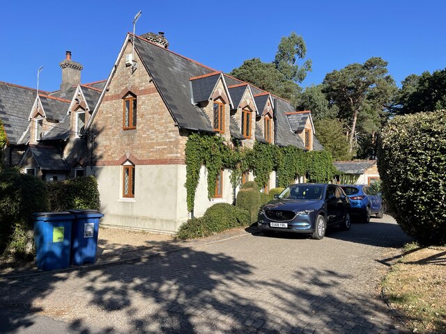
Middlebere and Hartland, located in the county of Dorset, England, is a historic heritage site that showcases the natural beauty and rich cultural heritage of the region. Situated near the town of Wareham, Middlebere is a small hamlet that lies on the banks of the River Frome, while Hartland is a nearby farmstead.
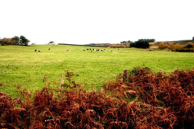
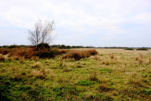
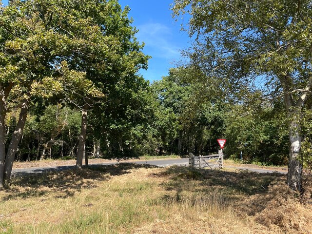
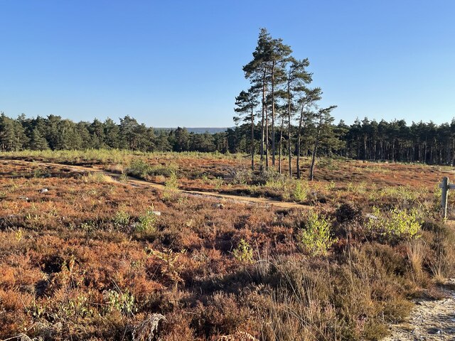
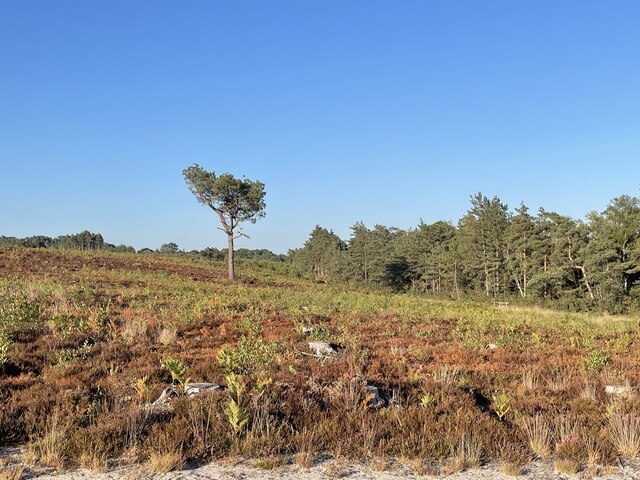
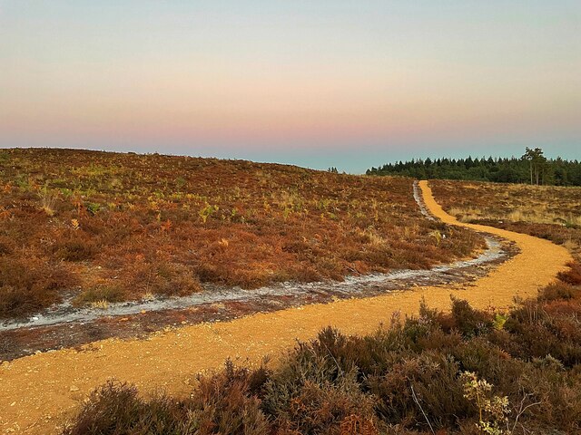
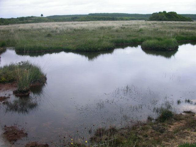
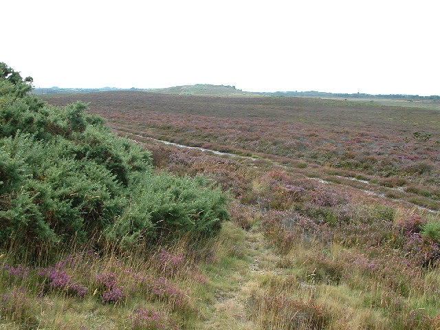
Middlebere and Hartland are known for their tranquil and picturesque landscapes, offering breathtaking views of the river and surrounding countryside. The area is renowned for its diverse wildlife and is a haven for birdwatching enthusiasts, with a variety of bird species such as egrets, herons, and warblers frequently spotted in the marshes and reed beds.
Historically, the site has great significance as it was a major crossing point on the River Frome during the Roman era. The remains of a Roman bridge can still be seen at Middlebere, showcasing the area's ancient past. Additionally, the nearby Hartland Farmhouse, a Grade II listed building, is a testament to the region's agricultural history and architectural heritage.
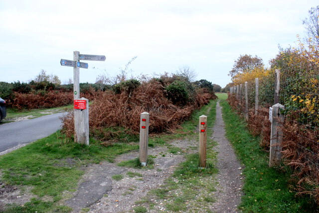
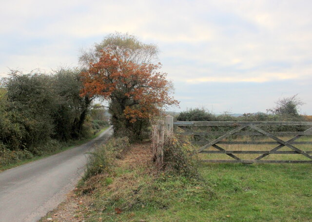
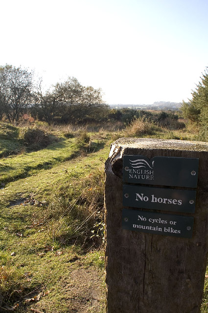
Visitors to Middlebere and Hartland can enjoy a range of outdoor activities, including walking and cycling along the numerous trails that crisscross the area. The scenic beauty of the landscape offers opportunities for photography and painting, attracting artists and nature lovers alike.
Middlebere and Hartland provide an immersive experience into the natural and historical treasures of Dorset, offering a serene escape from the hustle and bustle of modern life. Whether exploring the Roman ruins, observing wildlife, or simply enjoying the tranquility of the countryside, this heritage site offers a delightful retreat for visitors seeking to connect with nature and uncover the region's fascinating past.
If you have any feedback on the listing, please let us know in the comments section below.
Middlebere and Hartland Images
Images are sourced within 2km of 50.668/-2.054 or Grid Reference SY9685. Thanks to Geograph Open Source API. All images are credited.


Middlebere and Hartland is located at Grid Ref: SY9685 (Lat: 50.668, Lng: -2.054)
What 3 Words
///camera.cave.major. Near Corfe Castle, Dorset
Nearby Locations
Related Wikis

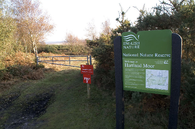
Hartland Moor
Hartland Moor is a Site of Special Scientific Interest (SSSI) on the south side of Poole Harbour near the town of Wareham in Dorset, England. It consists...

Wytch Farm
Wytch Farm is an oil field and processing facility in the Purbeck district of Dorset, England. It is the largest onshore oil field in western Europe. The...

Arne RSPB reserve
Arne RSPB reserve is a 5.634-square-kilometre (1,392-acre) nature reserve and Site of Special Scientific Interest (SSSI) maintained by the RSPB and located...

Purbeck Mineral and Mining Museum
The Purbeck Mining Museum exists to preserve and interpret the historic extractive industries in ball clay mining in the Isle of Purbeck. The museum is...

Norden railway station (England)
Norden railway station is a railway station located one mile to the north of the village of Corfe Castle, on the Isle of Purbeck in the English county...

Gigger's Island
Gigger's Island is an island in Poole Harbour in the English county of Dorset. The island is situated near to the Frome and Piddle rivers, near to the...
Arne, Dorset
Arne is a village and civil parish in Dorset, England, situated 4 miles (6.4 km) east of Wareham. The local travel links are located at Wareham railway...

Ridge, Dorset
Ridge is a village in the English county of Dorset. It is situated on the south bank of the River Frome, about half a mile due south east of the town of...
Nearby Amenities
Located within 500m of 50.668,-2.054Have you been to Middlebere and Hartland?
Leave your review of Middlebere and Hartland below (or comments, questions and feedback).