Marelands
Heritage Site in Hampshire
England
Marelands
Marelands is a historic site located in the county of Hampshire, England. This heritage site holds immense historical significance and attracts numerous visitors each year.
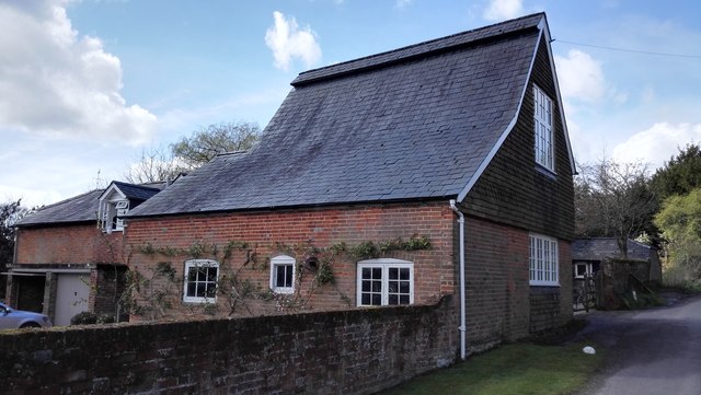
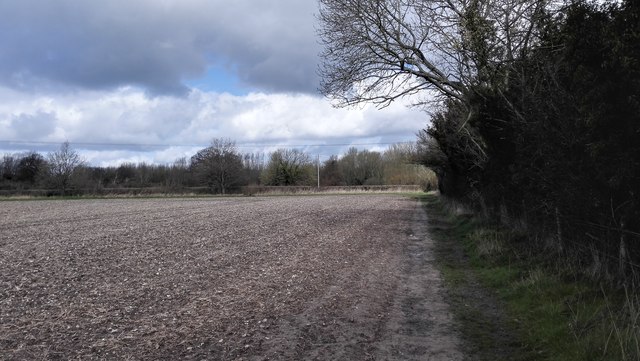
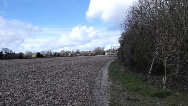
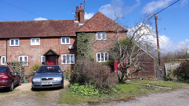
Situated amidst picturesque countryside, Marelands offers a glimpse into the past with its well-preserved architectural structures. The site is home to a collection of traditional thatched-roof cottages, which are characteristic of the region's rural heritage. These cottages showcase the traditional building techniques and materials that were commonly used in the area during the 18th and 19th centuries.
In addition to the cottages, Marelands also features a charming village green, a focal point of community life in the past. The green provides a tranquil space for visitors to relax and enjoy the peaceful surroundings while immersing themselves in the history of the area.
The site's historical importance is further enhanced by the presence of a beautifully maintained parish church. This church, dating back several centuries, boasts stunning architectural details and serves as a testament to the religious and cultural heritage of the region.
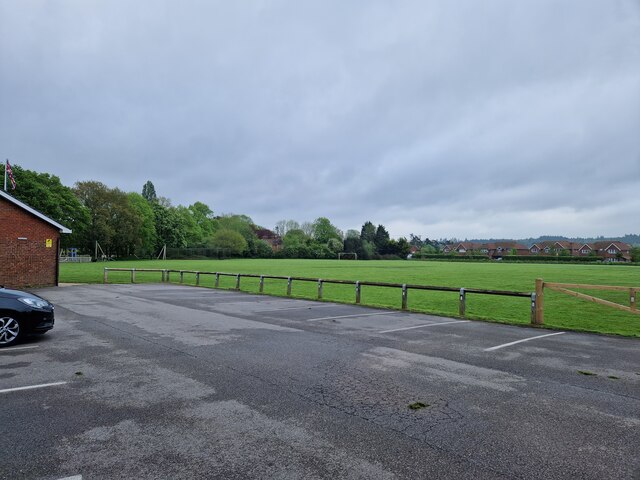
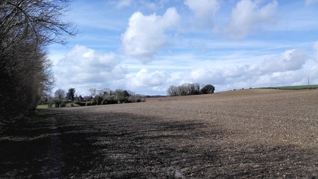
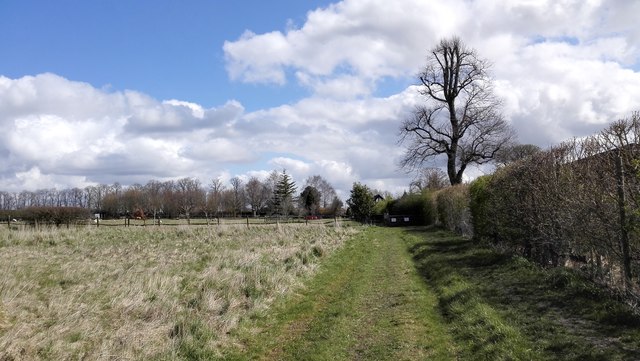
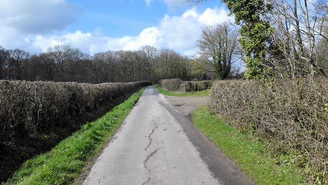
Marelands is not only a haven for history enthusiasts but also offers opportunities for outdoor activities. Visitors can explore the surrounding countryside through various walking trails, taking in the breathtaking landscapes and enjoying the fresh air.
Overall, Marelands in Hampshire is a must-visit heritage site that provides a fascinating insight into the region's rural history. With its well-preserved cottages, village green, and historic church, it offers a unique experience for those seeking to learn about and appreciate the rich cultural heritage of the area.
If you have any feedback on the listing, please let us know in the comments section below.
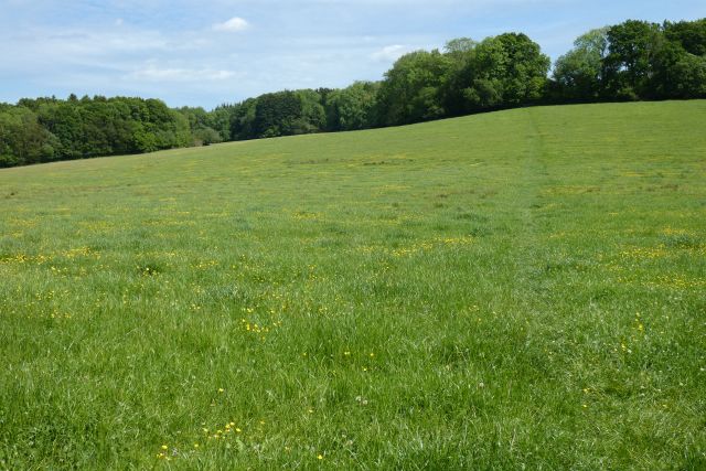
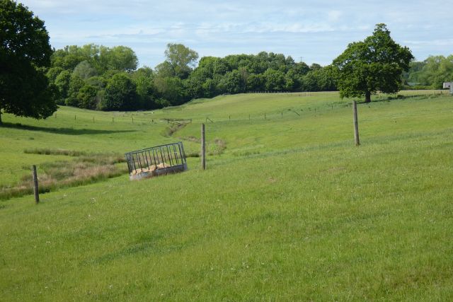
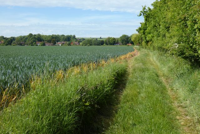
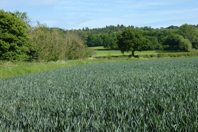
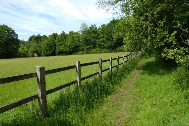
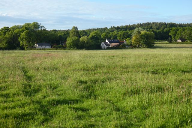
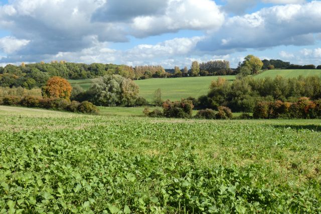
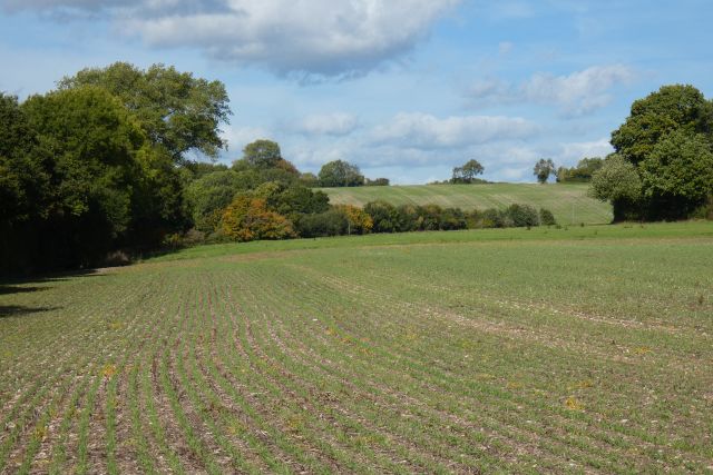
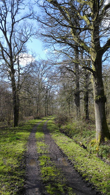
Marelands Images
Images are sourced within 2km of 51.185/-0.862 or Grid Reference SU7943. Thanks to Geograph Open Source API. All images are credited.

Marelands is located at Grid Ref: SU7943 (Lat: 51.185, Lng: -0.862)
What 3 Words
///forwarded.advancing.clues. Near Crondall, Hampshire
Nearby Locations
Related Wikis
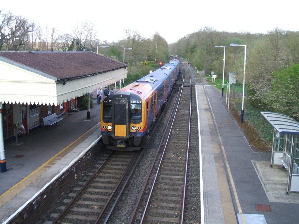
Bentley railway station (Hampshire)
Bentley railway station serves the village of Bentley in Hampshire, England. It is situated on the Alton Line, between Farnham and Alton. The station...

Bentley Station Meadow
Bentley Station Meadow is a 5.2-hectare (13-acre) biological Site of Special Scientific Interest south of Bentley in Hampshire.This area of unimproved...

Alice Holt Research Station
The Alice Holt Research Station is one of two British forestry research institutes, and is located in north-east Hampshire. == History == It was established...

Bentley, Hampshire
Bentley is a village and civil parish in the East Hampshire district of Hampshire, England. The parish has changed little over centuries and currently...

Birdworld
Birdworld is the United Kingdom's largest bird park, covering 26 acres (11 ha). It is located in the East Hampshire district, close to the village of Bucks...

Northbrook Park, Hampshire
Northbrook Park is a house in the civil parish of Bramley, in the East Hampshire district, in the county of Hampshire, England. It is a Grade II listed...

Holt Pound
Holt Pound is a hamlet on the A325 road and two side roads and forms a slight projection of the county borders into Surrey in the East Hampshire district...
Blacknest
Blacknest is a village and civil parish in Hampshire, England. It is in the civil parish of Binsted. The village has a golf course (the Blacknest Golf...
Nearby Amenities
Located within 500m of 51.185,-0.862Have you been to Marelands?
Leave your review of Marelands below (or comments, questions and feedback).