Maes-y-castell

Heritage Site in Caernarfonshire

Wales

Maes-y-castell

Pen-y-gaer cairn The moon is almost full in this early-evening view of the summit of this fine and atmospheric hill. I feel a shiver of connection with the Celtic originators of such defensive sites at times like the full moon or solstice. The cairn is an abomination, really, but people have their own way of celebrating the location.
Pen-y-gaer cairn Credit: Jonathan Wilkins

Maes-y-castell is a notable heritage site located in Caernarfonshire, Wales. Situated on a hilltop overlooking the picturesque Nantlle Valley, this historic site holds immense cultural and historical significance. The name "Maes-y-castell" translates to "field of the castle" in Welsh, a nod to its past as a medieval fortress.

The site is dominated by the remains of a 13th-century stone castle, which was built by Llywelyn the Great, a prominent Welsh prince. The castle served as a strategic defensive structure, safeguarding the region against potential invasions. Today, only ruins remain, but they offer valuable insights into the architectural techniques and military strategies of the time.

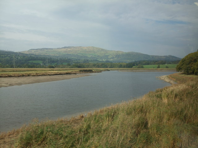
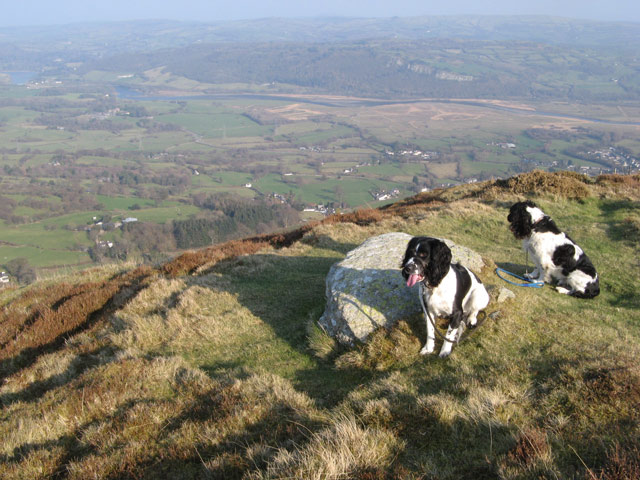
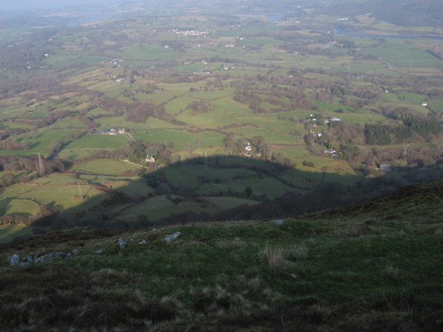
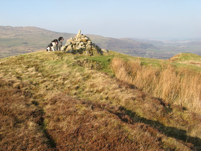
Visitors to Maes-y-castell can explore the remains of the castle's walls, towers, and gatehouse, which provide a glimpse into its former grandeur. The site also offers breathtaking panoramic views of the surrounding landscape, including the nearby Snowdonia National Park.

In addition to its historical significance, Maes-y-castell is also a site of cultural importance. It has been a source of inspiration for numerous artists, poets, and writers throughout the years, with its rugged beauty serving as a muse for creative endeavors.

Guided tours and educational programs are available at Maes-y-castell, allowing visitors to delve deeper into its rich history. The site is well-maintained, with informative signboards providing details about the castle's past and its significance to the local community.

Overall, Maes-y-castell is a must-visit heritage site for history enthusiasts, offering a fascinating glimpse into Wales' medieval past and a chance to appreciate its natural beauty.

If you have any feedback on the listing, please let us know in the comments section below.

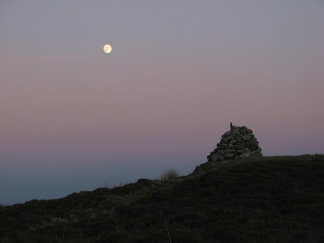
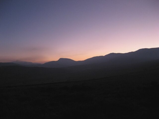
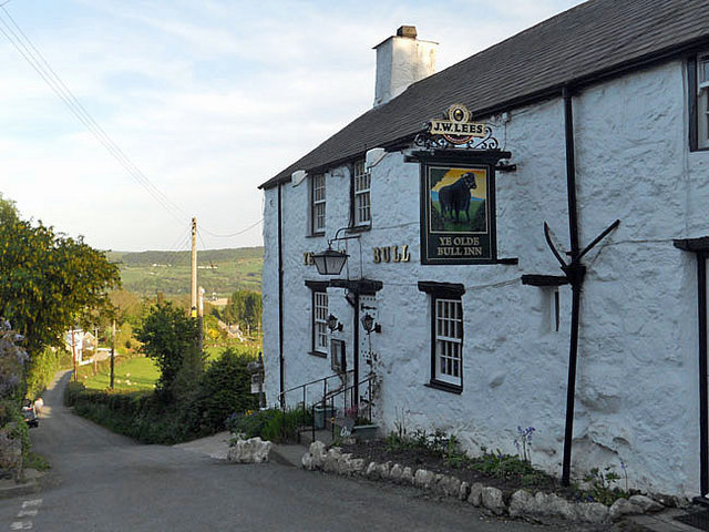
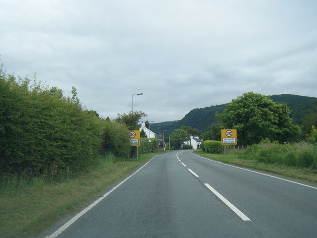
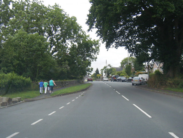
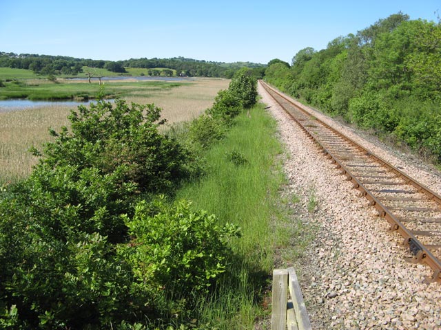
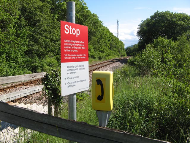
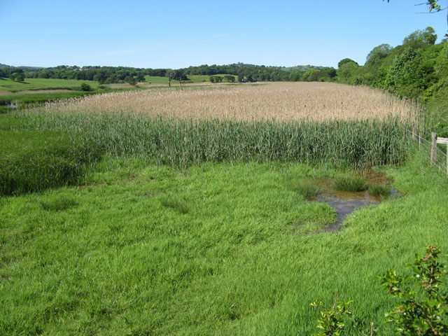
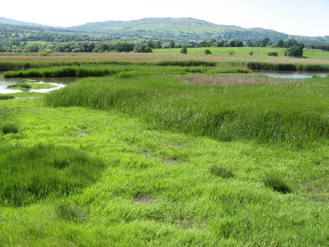
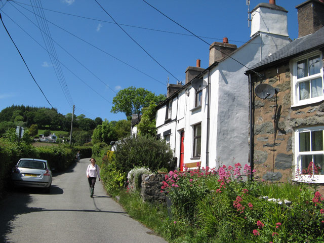
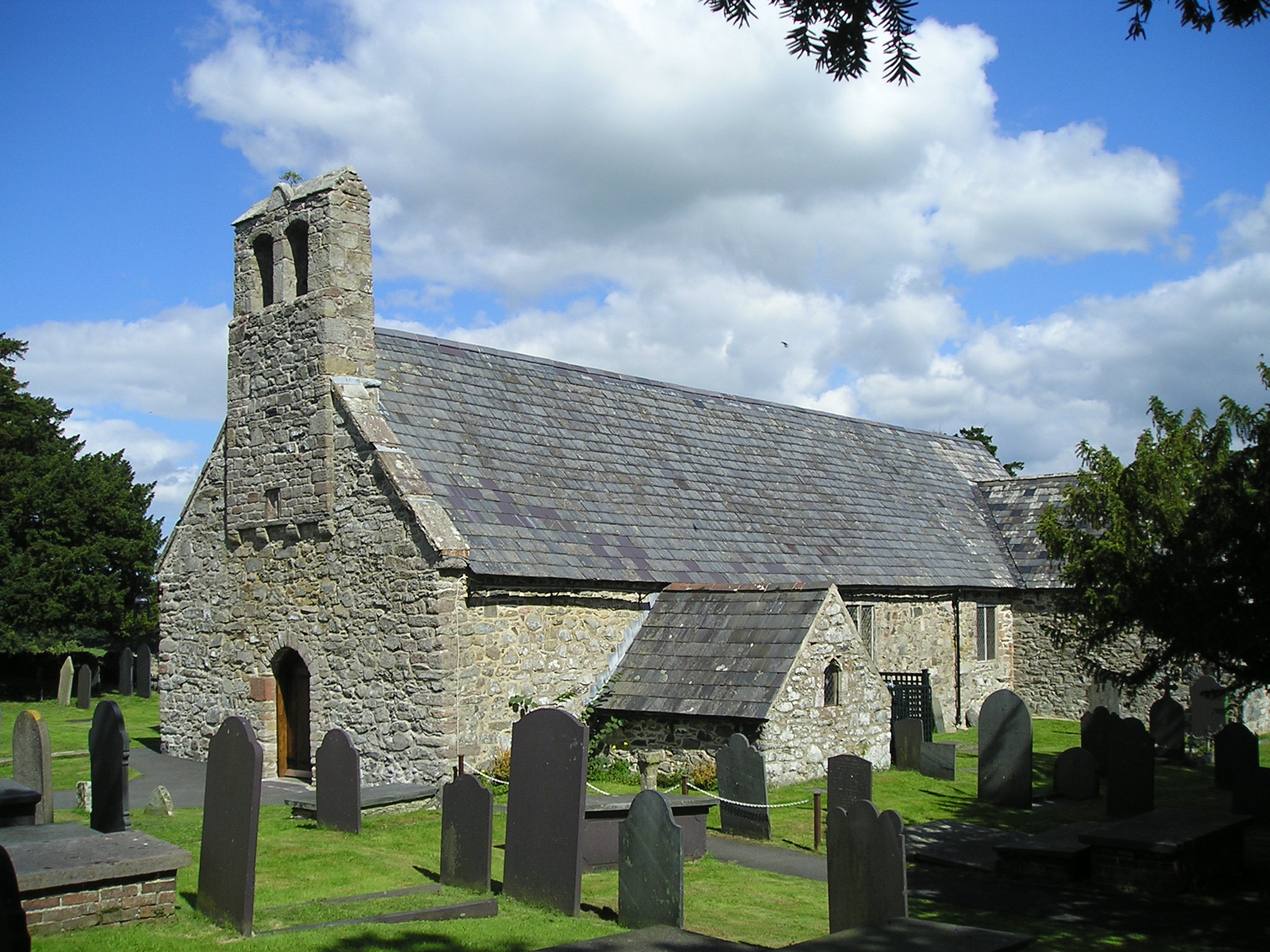
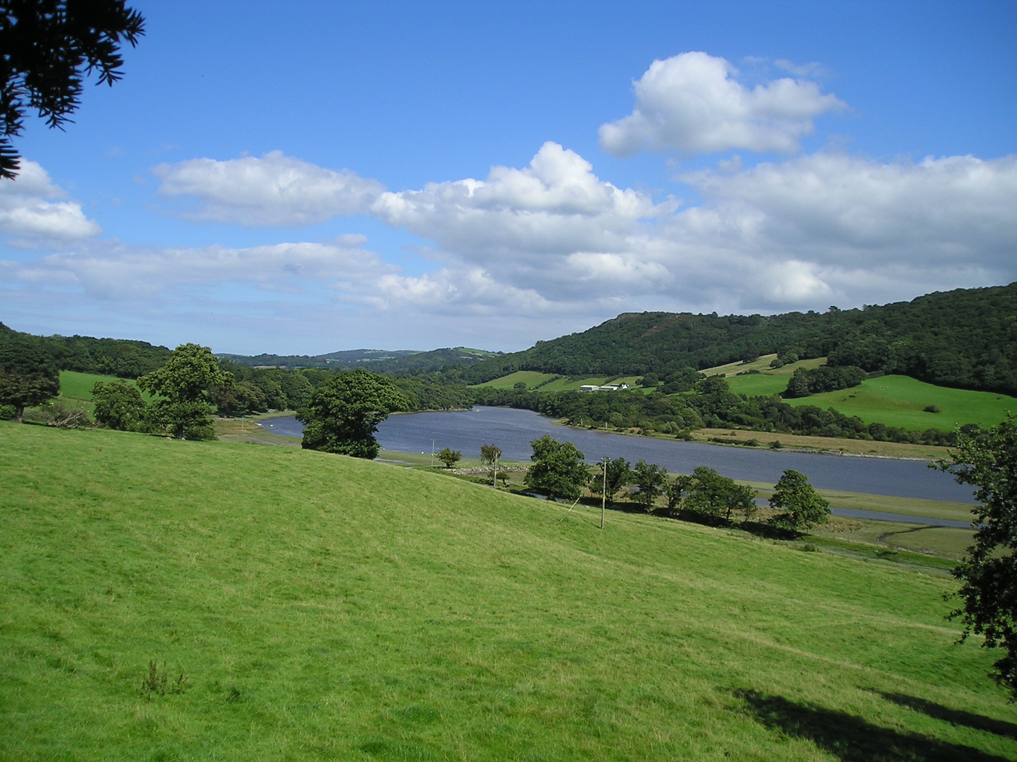
Maes-y-castell Images

Images are sourced within 2km of 53.217/-3.85 or Grid Reference SH7670. Thanks to Geograph Open Source API. All images are credited.

Pen-y-gaer cairn The moon is almost full in this early-evening view of the summit of this fine and atmospheric hill. I feel a shiver of connection with the Celtic originators of such defensive sites at times like the full moon or solstice. The cairn is an abomination, really, but people have their own way of celebrating the location.
Pen-y-gaer cairn
The moon is almost full in this early-evening view of the summit of this fine and atmospheric hill. I feel a shiver of connection with the Celtic originators of such defensive sites at times like the full moon or solstice. The cairn is an abomination, really, but people have their own way of celebrating the location.
Mountain horizon Sunset over the Carneddau, with the prominent peak of Pen Llithrig y Wrach. It is a rare thing nowadays to be without any intrusion of artificial light.
Mountain horizon
Sunset over the Carneddau, with the prominent peak of Pen Llithrig y Wrach. It is a rare thing nowadays to be without any intrusion of artificial light.
Level crossing near Tal-y-Cafn
Ordnance Survey Cut Mark Only the lower tip of the middle part of the arrow of this OS cut mark remains on the SE angle of St Peter's Church. It marked a point 77.060m above mean sea level.
Ordnance Survey Cut Mark
Only the lower tip of the middle part of the arrow of this OS cut mark remains on the SE angle of St Peter's Church. It marked a point 77.060m above mean sea level.
Ordnance Survey Pivot This OS pivot can be found on the west angle of the Salem Chapel. It marks a point 42.599 above mean sea level.
Ordnance Survey Pivot
This OS pivot can be found on the west angle of the Salem Chapel. It marks a point 42.599 above mean sea level.
Ye Olde Bull Inn at Llanbedr-y-Cennin
Tal-y-Bont village entrance signs
Conway Road looking south
A bend in the River Conwy As viewed from a train heading towards Llandudno, near Coed y Borthol, which is to the right off screen. Tal y Fan is in the background.
A bend in the River Conwy
As viewed from a train heading towards Llandudno, near Coed y Borthol, which is to the right off screen. Tal y Fan is in the background.
Pen-y-gaer east rampart The superb 1st millennium BC hill-fort sits on a prominent hill at the side of the Conwy Valley. The steep hillside only required a little excavation to complete a formidable defence, but it is very difficult to image. The descent to the valley can be appreciated very well, however.
Pen-y-gaer east rampart
The superb 1st millennium BC hill-fort sits on a prominent hill at the side of the Conwy Valley. The steep hillside only required a little excavation to complete a formidable defence, but it is very difficult to image. The descent to the valley can be appreciated very well, however.
Shadow in the valley Although it was a beautiful day for early March, the sun was not high in the sky at 15:15h, so the hill throws a magnificent shadow into the valley.
Shadow in the valley
Although it was a beautiful day for early March, the sun was not high in the sky at 15:15h, so the hill throws a magnificent shadow into the valley.
Summit cairn A cairn within the ramparts of Pen-y-gaer hill fort. My map shows a trig point here, but it is obviously disused. The summit of Tal-y-Fan <a href="https://www.geograph.org.uk/gridref/SH7372">SH7372</a> and the coastal settlements near Conwy can be seen in the distance despite the haze.
Summit cairn
A cairn within the ramparts of Pen-y-gaer hill fort. My map shows a trig point here, but it is obviously disused. The summit of Tal-y-Fan SH7372 and the coastal settlements near Conwy can be seen in the distance despite the haze.
Afon Conwy The River Conway (Afon Conwy) rises on the Migneint Moors and flows northward for 27 miles to its mouth at Conwy.
Wikipedia: <span class="nowrap"><a title="http://en.wikipedia.org/wiki/River_Conwy" rel="nofollow ugc noopener" href="http://en.wikipedia.org/wiki/River_Conwy">Link</a><img style="margin-left:2px;" alt="External link" title="External link - shift click to open in new window" src="https://s1.geograph.org.uk/img/external.png" width="10" height="10"/></span>
Afon Conwy
The River Conway (Afon Conwy) rises on the Migneint Moors and flows northward for 27 miles to its mouth at Conwy. Wikipedia: LinkExternal link
Conwy Valley Railway 2 Looking northwards (up direction) from the northern occupational crossing of the two in this square, with the line continuing on its straight course fringed by reed-beds.
Conwy Valley Railway 2
Looking northwards (up direction) from the northern occupational crossing of the two in this square, with the line continuing on its straight course fringed by reed-beds.
Conwy Valley Railway 3 Warning board and telephone by the side of an occupational crossing, looking in the down direction towards the GSM-R radio antenna that gives secure communication between signalling staff and trains on this section.
Conwy Valley Railway 3
Warning board and telephone by the side of an occupational crossing, looking in the down direction towards the GSM-R radio antenna that gives secure communication between signalling staff and trains on this section.
Reed beds Extensive beds of reeds occupy the eastern side of the Conwy Valley, an important wetland habitat in an area that is otherwise rather intensively farmed. The river cannot be seen in this view, but is significantly tidal even so far south.
Reed beds
Extensive beds of reeds occupy the eastern side of the Conwy Valley, an important wetland habitat in an area that is otherwise rather intensively farmed. The river cannot be seen in this view, but is significantly tidal even so far south.
Wet grassland The last two weeks have been very wet, and the grass in the foreground is completely waterlogged. Larger pools and a huge expanse of reed-beds fill the flat floor of the valley, across which meanders the Afon Conwy, completely hidden in this view. In the far distance, the summit of Tal-y-fan <a href="https://www.geograph.org.uk/gridref/SH7372">SH7372</a> can be seen.
Wet grassland
The last two weeks have been very wet, and the grass in the foreground is completely waterlogged. Larger pools and a huge expanse of reed-beds fill the flat floor of the valley, across which meanders the Afon Conwy, completely hidden in this view. In the far distance, the summit of Tal-y-fan SH7372 can be seen.
Cottages, Llanbedr-y-cennin Looking up the main street of this steep village. Only when I came to submit the image did I see the gruesome array of power and telephone wires to the cottages.
Cottages, Llanbedr-y-cennin
Looking up the main street of this steep village. Only when I came to submit the image did I see the gruesome array of power and telephone wires to the cottages.
Show me another place!

Maes-y-castell is located at Grid Ref: SH7670 (Lat: 53.217, Lng: -3.85)

Unitary Authority: Conwy

Police Authority: North Wales

What 3 Words

///skewing.rebounds.exit. Near Llansantffraid Glan Conwy, Conwy

Nearby Locations

Maes-y-castell Pontwgan

Related Wikis

Coed Gorswen National Nature Reserve

Coed Gorswen National Nature Reserve lies on the lower slopes of the Conwy Valley, in the vicinity of Rowen and Llanbedr-y-Cennin. Its gentle landscape...

Caerhun

Caerhun (Welsh: Caerhûn) is a scattered rural community, and former civil parish, on the west bank of the River Conwy. It lies to the south of Henryd...

Canovium

Canovium was a fort in the Roman province of Britannia. Its site is located at Caerhun in the Conwy valley, in the county borough of Conwy, in North Wales...

Llanbedr-y-Cennin

Llanbedr-y-Cennin is a small village in Conwy county borough, Wales, in the community of Caerhun. It lies in the foothills on the western side of the Conwy...

Nearby Amenities

Located within 500m of 53.217,-3.85
Power: tower
Lat/Long: 53.2163961/-3.8567065
Power: tower
Lat/Long: 53.2166092/-3.8493126
Power: tower
Lat/Long: 53.2165546/-3.8514856
Power: tower
Lat/Long: 53.2143154/-3.8459937
Power: pole
Lat/Long: 53.2185687/-3.8432187
Power: pole
Lat/Long: 53.21774/-3.844474
Power: pole
Lat/Long: 53.2164327/-3.8441575
Power: pole
Lat/Long: 53.2149968/-3.8438195
Barrier: stile
Stile: ladder
Lat/Long: 53.2128481/-3.8489865
Barrier: stile
Stile: ladder
Lat/Long: 53.2134213/-3.8470175
Barrier: stile
Stile: ladder
Lat/Long: 53.212548/-3.849836
Pontwgan
Place: hamlet
Lat/Long: 53.2196677/-3.8506918
Power: pole
Lat/Long: 53.2136288/-3.8457324
Power: pole
Lat/Long: 53.2143002/-3.8452926
Power: pole
Lat/Long: 53.2150246/-3.844799
Power: pole
Lat/Long: 53.2157907/-3.8443109
Power: pole
Lat/Long: 53.2164765/-3.844563
Power: pole
Lat/Long: 53.2174418/-3.84496
Power: pole
Lat/Long: 53.2183596/-3.845491
Barrier: stile
Lat/Long: 53.2171331/-3.8478307
Barrier: stile
Lat/Long: 53.2134963/-3.8469993
Barrier: stile
Lat/Long: 53.2181028/-3.8478538
Barrier: stile
Lat/Long: 53.2196153/-3.8487249
Post Box
Brand: Royal Mail
Brand Wikidata: Q638098
Brand Wikipedia: en:Royal Mail
Collection Times: Mo-Fr 09:30; Sa 09:30
Operator: Royal Mail
Operator Wikidata: Q638098
Post Box Mounting: rendered_wall
Post Box Type: wall
Ref: LL32 39
Royal Cypher: EIIR
Royal Cypher Wikidata: Q33102113
Lat/Long: 53.220482/-3.8492274
Barrier: stile
Lat/Long: 53.2169448/-3.8561971
Barrier: stile
Lat/Long: 53.2154077/-3.8544819
The data included in this document is from www.openstreetmap.org. The data is made available under ODbL.

Have you been to Maes-y-castell?

Leave your review of Maes-y-castell below (or comments, questions and feedback).