Lulach's Stone

Heritage Site in Aberdeenshire

Scotland

Lulach's Stone

Souterrain near Kildrummy Entrance to one of the souterrains near Kildrummy - June,2008.
Souterrain near Kildrummy Credit: Rab McMurdo

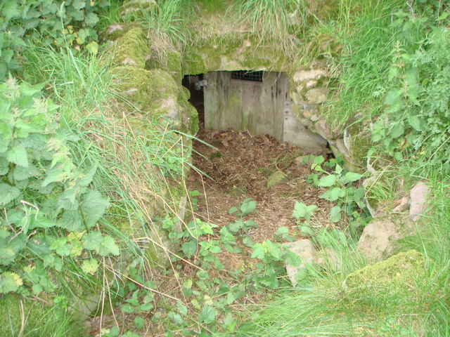
Lulach's Stone is a historic monument located in Aberdeenshire, Scotland. Situated on a hillside near Rhynie village, this ancient stone has great significance in Scottish history and is considered a heritage site.

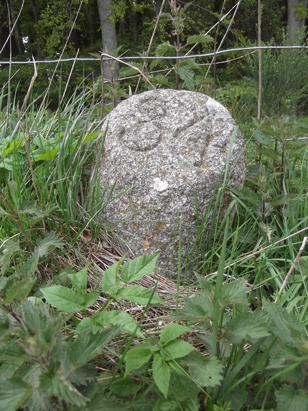
The stone itself is a large, rough-hewn boulder, standing at approximately 10 feet tall. It is believed to date back to the Pictish era, which flourished in Scotland between the 3rd and 8th centuries AD. The stone is named after Lulach, the stepson of Macbeth, who briefly ruled as King of Scotland after Macbeth's death in 1057.

Lulach's Stone is known for its intricate carvings, which feature various symbols and motifs associated with Pictish culture. These include mysterious patterns, animal figures, and geometric shapes. The stone's engravings have puzzled archaeologists and historians for centuries, as their exact meaning and purpose remain unclear.

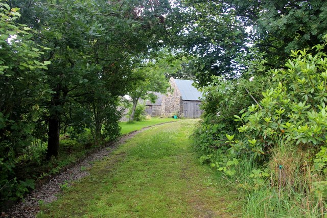
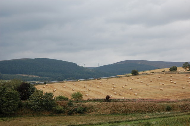
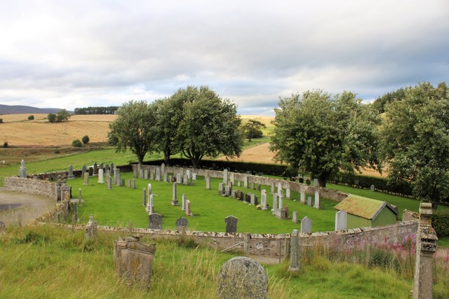
Visitors to Lulach's Stone can marvel at its ancient craftsmanship and explore its historical significance. The site offers a serene and picturesque setting, surrounded by rolling hills and lush greenery. Interpretive panels provide information about the stone's history and its connection to Scottish royalty.

Lulach's Stone serves as a reminder of Scotland's rich cultural heritage and the enduring legacy of the Picts. Its intriguing carvings and historical context make it a must-visit destination for history enthusiasts and those interested in ancient civilizations.

If you have any feedback on the listing, please let us know in the comments section below.

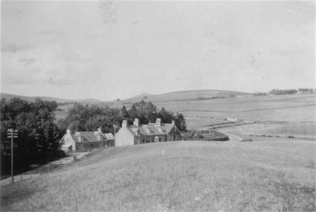
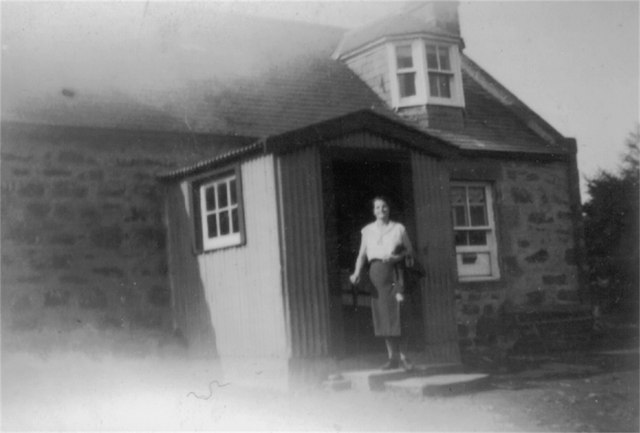
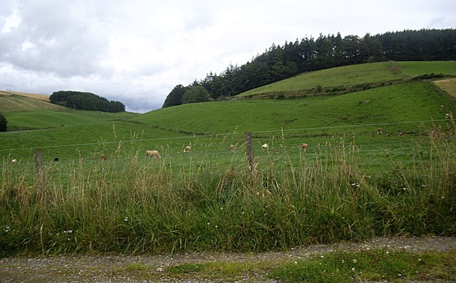
Lulach's Stone Images

Images are sourced within 2km of 57.263/-2.887 or Grid Reference NJ4619. Thanks to Geograph Open Source API. All images are credited.

Souterrain near Kildrummy Entrance to one of the souterrains near Kildrummy - June,2008.
Souterrain near Kildrummy
Entrance to one of the souterrains near Kildrummy - June,2008.
Souterrain near Kildrummy Inside one of the souterrains near Kildrummy - June,2008.
Souterrain near Kildrummy
Inside one of the souterrains near Kildrummy - June,2008.
Souterrain near Kildrummy Entrance to one of the souterrains near Kildrummy - June,2008.
Souterrain near Kildrummy
Entrance to one of the souterrains near Kildrummy - June,2008.
Double Rainbow A break in the clouds at Mossat.
Double Rainbow
A break in the clouds at Mossat.
Pot of Gold If this had been a dairy bull, I could have pointed out that dairy farming is far from a gold mine, as the supermarkets insist on paying less for milk than it costs to produce it. In fact the processing plant in Aberdeen was closed almost without notice, and farmers are having to pay to ship their milk to the Central Belt for processing. How crazy is that? But this fellow isn't bothered by any of that. He's just waiting patiently for the beef industry to implode as well.
Pot of Gold
If this had been a dairy bull, I could have pointed out that dairy farming is far from a gold mine, as the supermarkets insist on paying less for milk than it costs to produce it. In fact the processing plant in Aberdeen was closed almost without notice, and farmers are having to pay to ship their milk to the Central Belt for processing. How crazy is that? But this fellow isn't bothered by any of that. He's just waiting patiently for the beef industry to implode as well.
The Mossat Only the antiques shop next door remains in operation. This was once the place to go for a Sunday run. Tea shop, garden centre, water garden and general store have all done business here.
The Mossat
Only the antiques shop next door remains in operation. This was once the place to go for a Sunday run. Tea shop, garden centre, water garden and general store have all done business here.
Tree lined driveway to Howmill
Harvested fields, Kildrummy... ...as viewed from the kirkyard.
Harvested fields, Kildrummy...
...as viewed from the kirkyard.
West Aberdeenshire scene Harvested fields, wind turbines, rain clouds...
West Aberdeenshire scene
Harvested fields, wind turbines, rain clouds...
Old Milestone by the A97, Drumnahive, Kildrummy parish Aberdeen granite milestone by the A97, in parish of Kildrummy (Grampian District), Drumnahive, near white telephone exchange building, North side of road.

Inscription reads:-
34
(To Aberdeen)

Surveyed

Milestone Society National ID: AD_SDCB34
Old Milestone by the A97, Drumnahive, Kildrummy parish
Aberdeen granite milestone by the A97, in parish of Kildrummy (Grampian District), Drumnahive, near white telephone exchange building, North side of road. Inscription reads:- 34 (To Aberdeen) Surveyed Milestone Society National ID: AD_SDCB34
Junction on A97 at Mossat
Kildrummy Churchyard The neatly laid out lower churchyard by Kildrummy Kirk.
Kildrummy Churchyard
The neatly laid out lower churchyard by Kildrummy Kirk.
The Burn of Linthaugh at Mossat
Mossat bank I think the frieze above the right part of the building reads, North Scotland Bank, Photo date c1920-c1930  property now is Mossat House Bed & Breakfast Photographed by Stanley Howe in 2008
Mossat bank
I think the frieze above the right part of the building reads, North Scotland Bank, Photo date c1920-c1930 property now is Mossat House Bed & Breakfast Photographed by Stanley Howe in 2008
Hamlet of Mossat Photo c1920-c1930 of Mossat.  <a href="https://www.geograph.org.uk/photo/13834">NJ4719 : The Mossat Shop</a> shows possibly the same buildings, on a major road junction.
Hamlet of Mossat
Photo c1920-c1930 of Mossat. NJ4719 : The Mossat Shop shows possibly the same buildings, on a major road junction.
Mossat Post Photo c1920-c1930, inscribed Mossat Post!
Mossat Post
Photo c1920-c1930, inscribed Mossat Post!
View up Ardhuncart Hill From the track to Kildrummy Kirk.
View up Ardhuncart Hill
From the track to Kildrummy Kirk.
Approach to Kildrummy cemetery From A97.
Approach to Kildrummy cemetery
From A97.
Show me another place!

Lulach's Stone is located at Grid Ref: NJ4619 (Lat: 57.263, Lng: -2.887)

Unitary Authority: Aberdeenshire

Police Authority: North East

What 3 Words

///serenade.mural.eager. Near Alford, Aberdeenshire

Related Wikis

Mossat

Mossat is a settlement in Aberdeenshire, Scotland on the A97 road near Glenkindie and Lumsden, between Bridge of Alford and Strathdon, and is situated...

Kildrummy

Kildrummy (Scottish Gaelic: Cionn Droma) is a hamlet in Aberdeenshire, Scotland near the River Don, 7 miles (11 kilometres) west of Alford. The hamlet...

Clova Monastery

Clova Monastery (also called Cloveth) was a medieval Culdee monastery in Kildrummy, Aberdeenshire, Scotland. == Founding == Clova was founded in the late...

Lumsden, Aberdeenshire

Lumsden is an inland village in Aberdeenshire, Scotland on the A97 road. == Location == It crowns a rising-ground 227 m (745 ft) above sea level amid a...

Nearby Amenities

Located within 500m of 57.263,-2.887
Power: pole
Lat/Long: 57.261019/-2.8940145
Power: pole
Lat/Long: 57.2615945/-2.8931802
Power: pole
Lat/Long: 57.2621542/-2.8923555
Power: pole
Lat/Long: 57.2627493/-2.8914849
Power: pole
Lat/Long: 57.2631142/-2.8909359
Power: pole
Lat/Long: 57.2638296/-2.8907013
Power: pole
Lat/Long: 57.2643024/-2.8898621
Power: pole
Lat/Long: 57.2647673/-2.8890168
Power: pole
Lat/Long: 57.2650988/-2.8881595
Power: pole
Lat/Long: 57.2654571/-2.8873167
Power: pole
Lat/Long: 57.265722/-2.8866661
Power: pole
Lat/Long: 57.2586555/-2.8873783
Power: pole
Lat/Long: 57.258768/-2.8888463
Power: pole
Lat/Long: 57.2588556/-2.8899419
Power: pole
Lat/Long: 57.266657/-2.8834218
Power: pole
Lat/Long: 57.2664667/-2.8843142
Power: pole
Lat/Long: 57.267097/-2.8895828
Power: pole
Lat/Long: 57.2667106/-2.888746
Power: pole
Lat/Long: 57.2657193/-2.887573
The data included in this document is from www.openstreetmap.org. The data is made available under ODbL.

Have you been to Lulach's Stone?

Leave your review of Lulach's Stone below (or comments, questions and feedback).