Llys Arthur
Heritage Site in Cardiganshire
Wales
Llys Arthur
Llys Arthur, located in Cardiganshire, Wales, is a renowned heritage site steeped in historical significance. The site is situated just outside the village of Llanarth, nestled amidst picturesque countryside and breathtaking views.
Llys Arthur, also known as Arthur's Court, is a medieval manor house dating back to the 13th century. It was originally constructed as a fortified dwelling for the local gentry and served as an administrative center for the surrounding area. The site boasts a well-preserved structure with a mix of architectural styles, including Norman and Gothic influences.
The manor house is surrounded by a fortified wall, which encapsulates a central courtyard. Inside, visitors can explore various rooms and chambers that once hosted noble families, including a great hall, a chapel, living quarters, and a kitchen. The intricate details of the stone carvings and ornate windows provide a glimpse into the craftsmanship of the period.
Llys Arthur is shrouded in legends and folklore, with some tales suggesting that it was once the residence of King Arthur himself. While the historical accuracy of these claims remains uncertain, the association adds an air of mystique to the site.
Today, Llys Arthur stands as a testament to the region's rich history and serves as a popular destination for history enthusiasts, architecture aficionados, and tourists seeking a glimpse into the past. Guided tours are available, offering visitors an opportunity to learn about the site's history and immerse themselves in the medieval atmosphere.
If you have any feedback on the listing, please let us know in the comments section below.
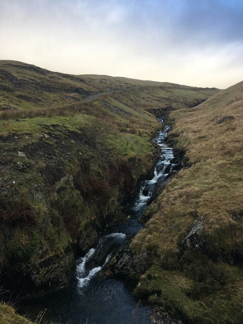
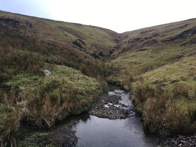
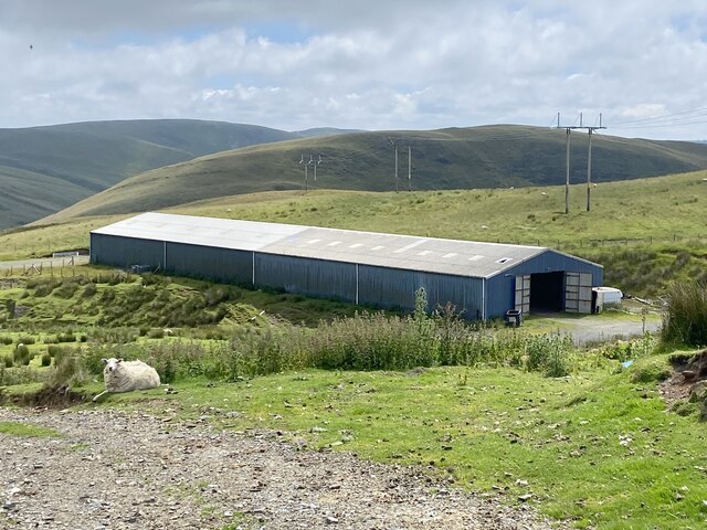
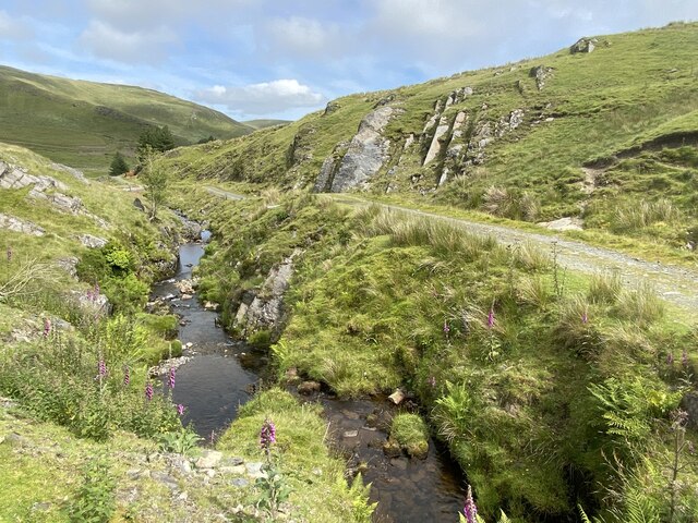
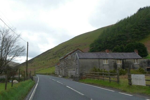
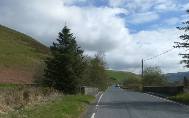
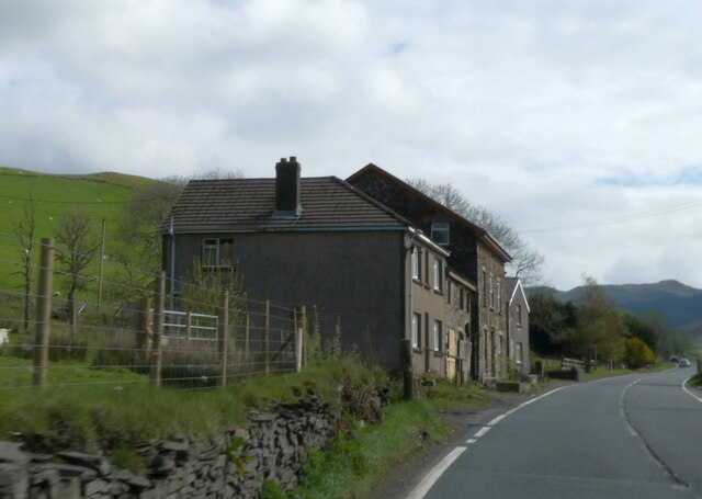
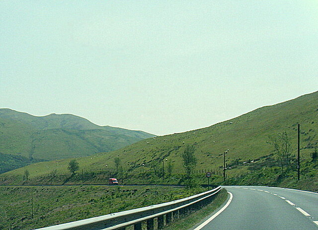
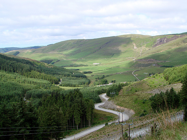
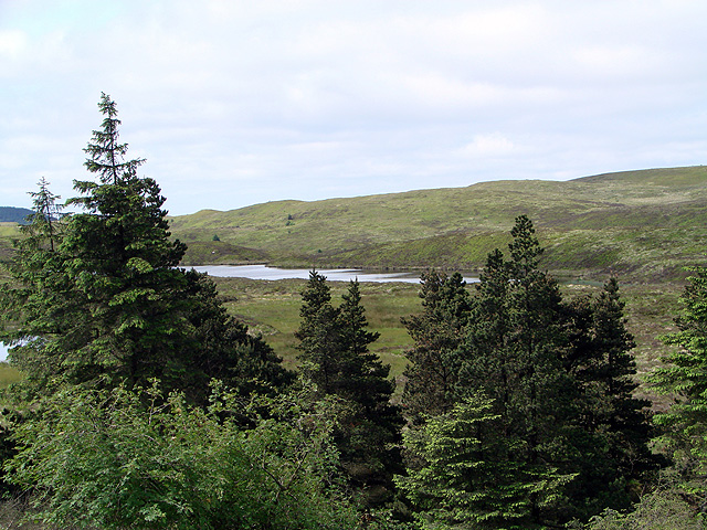
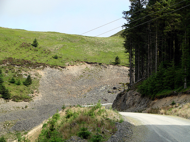
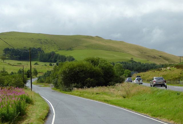
Llys Arthur Images
Images are sourced within 2km of 52.427/-3.787 or Grid Reference SN7882. Thanks to Geograph Open Source API. All images are credited.

Llys Arthur is located at Grid Ref: SN7882 (Lat: 52.427, Lng: -3.787)
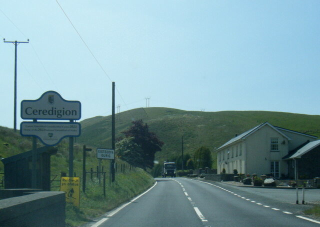
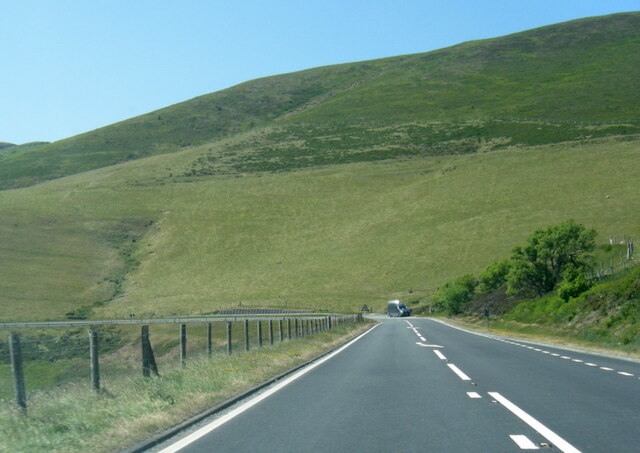
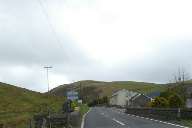
Unitary Authority: Ceredigion
Police Authority: Dyfed Powys
What 3 Words
///pining.decorated.contemplate. Near Cwmystwyth, Ceredigion
Nearby Locations
Related Wikis

Y Glog (mountain)
Y Glog or Draws Drum is a mountain situated in Ceredigion, Wales. It stands at an elevation of 574 metres (1883 feet) above sea level and is located a...
Eisteddfa Gurig
Eisteddfa Gurig is a hamlet located in Ceredigion on its border with Powys and situated along the A44. Its name comes from the Welsh word eisteddfa, meaning...

Elvis Rock
The Elvis Rock is a rock alongside the A44 in Powys, Wales, near its border with Ceredigion. It is one of the most well known pieces of graffiti in Wales...
Blaenrheidol
Blaenrheidol is a community in the county of Ceredigion, North Wales. It lies in the Cambrian Mountains of Mid Wales, approximately 12 miles (19 km) east...
Nearby Amenities
Located within 500m of 52.427,-3.787Have you been to Llys Arthur?
Leave your review of Llys Arthur below (or comments, questions and feedback).