Knowe of Scorn

Heritage Site in Orkney

Scotland

Knowe of Scorn

Mar Wick bay, Orkney
Mar Wick bay, Orkney Credit: John Ferguson

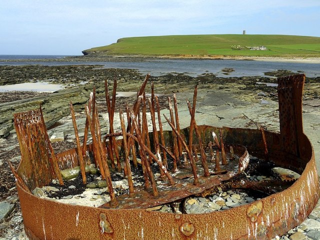
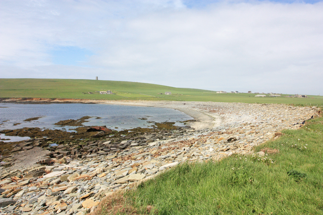
The Knowe of Scorn is a significant archaeological site located in Orkney, Scotland. This heritage site is an ancient burial mound that dates back to the Neolithic period, making it around 5,000 years old. It is situated on the island of Sanday, which is part of the Orkney archipelago.

The Knowe of Scorn is a unique structure, consisting of a circular mound with a central chamber. The mound measures approximately 30 meters in diameter and is constructed using earth and stones. The chamber within the mound is accessed through a narrow passage, leading to a small, rectangular space. The chamber is lined with stone slabs, and remnants of human remains, pottery, and tools have been discovered within it.

The significance of the Knowe of Scorn lies in its archaeological importance. It provides valuable insights into the burial practices and rituals of the Neolithic people who inhabited the Orkney Islands. The presence of human remains suggests that the mound was used as a burial site, possibly for a specific group or clan. The artifacts found within the chamber also provide clues about the daily lives and cultural practices of the ancient inhabitants.

Today, the Knowe of Scorn is a protected heritage site, cared for by the local authorities. It is open to the public, allowing visitors to explore and appreciate the rich history and architectural marvel of this ancient burial mound. Its remote location and well-preserved state make it an intriguing destination for history enthusiasts and archaeology enthusiasts alike.

If you have any feedback on the listing, please let us know in the comments section below.

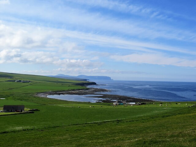
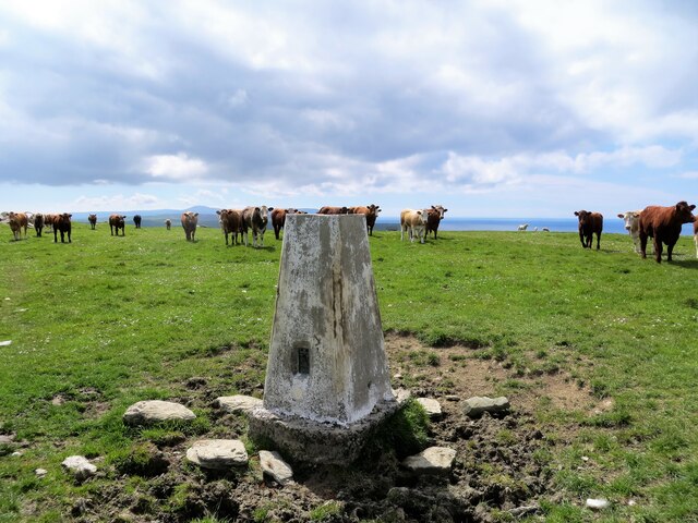
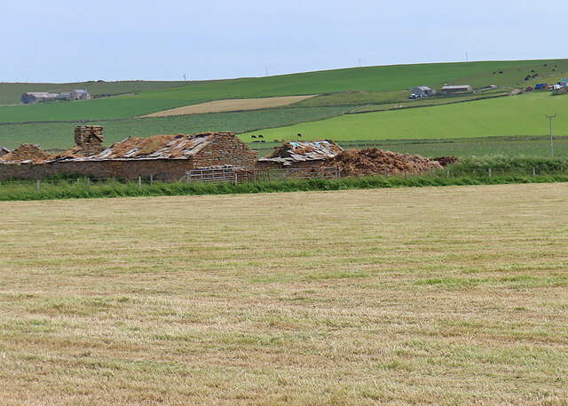
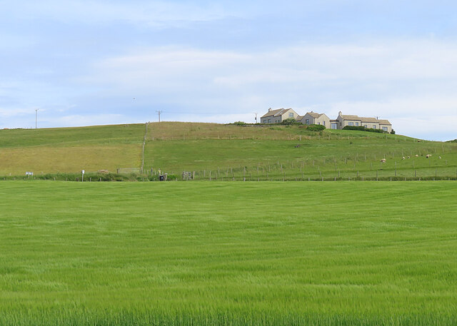
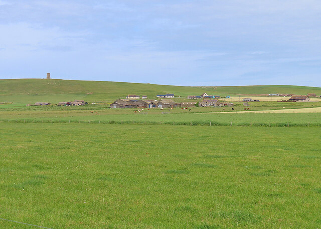
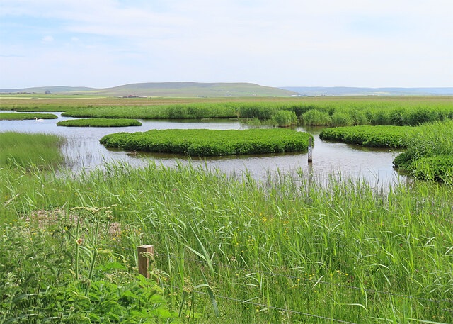
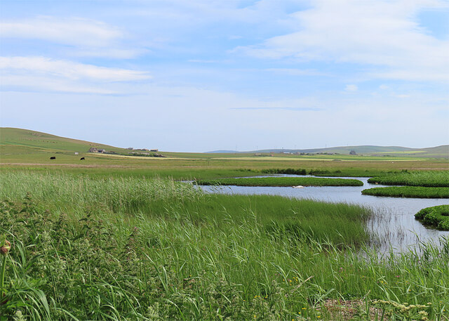
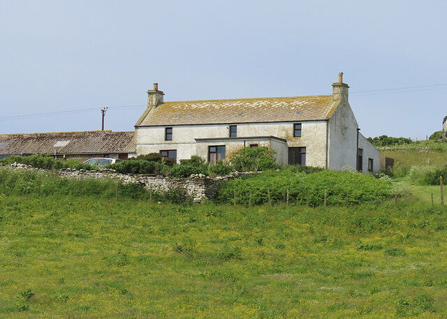
Knowe of Scorn Images

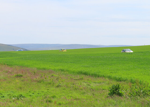
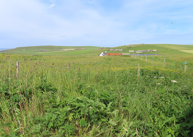
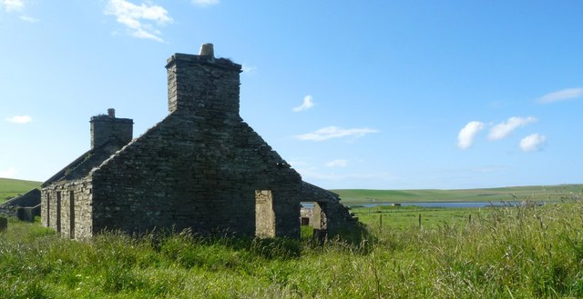
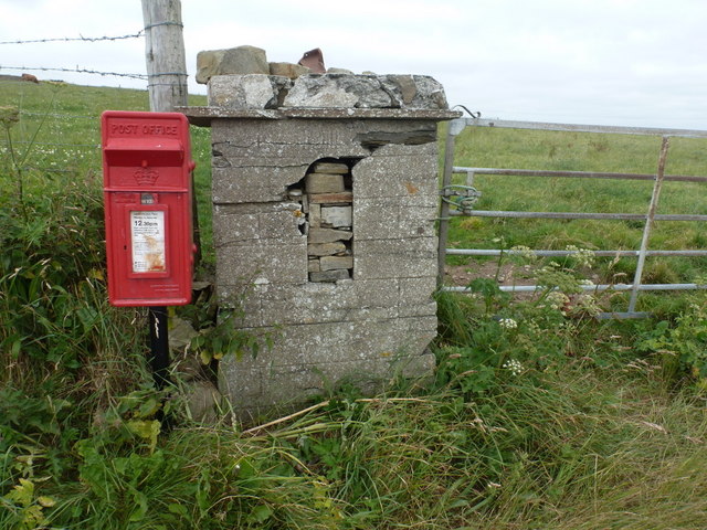
Images are sourced within 2km of 59.092/-3.318 or Grid Reference HY2423. Thanks to Geograph Open Source API. All images are credited.

Mar Wick bay, Orkney
Vestra Fiold trig pillar
Ox-eye Daisies (Leucanthemum vulgare) One of several flourishing clumps.
Ox-eye Daisies (Leucanthemum vulgare)
One of several flourishing clumps.
Brockan The traditional farm steading at Brockan is in ruinous state.
Brockan
The traditional farm steading at Brockan is in ruinous state.
Leary Modern-looking buildings at Leary perched on top of a hill.
Leary
Modern-looking buildings at Leary perched on top of a hill.
Netherskaill Netherskaill is the nearest farm. In the distance is the Kitchener Memorial.
Netherskaill
Netherskaill is the nearest farm. In the distance is the Kitchener Memorial.
The Loons Nature Reserve This wetland is part of the Royal Society for the Protection of Birds reserve.
The Loons Nature Reserve
This wetland is part of the Royal Society for the Protection of Birds reserve.
The Loons Nature Reserve This wetland is part of the Royal Society for the Protection of Birds reserve.
The Loons Nature Reserve
This wetland is part of the Royal Society for the Protection of Birds reserve.
Quoylonga A traditional farm on a south-facing slope.
Quoylonga
A traditional farm on a south-facing slope.
Cars in the Fields We couldn't quite understand this, until it was explained to us that derelict cars make good shelters for bird scarers to protect the crops.
Cars in the Fields
We couldn't quite understand this, until it was explained to us that derelict cars make good shelters for bird scarers to protect the crops.
Brittain and Scorne Viewed from one of the many places called Holland or Houlland.
Brittain and Scorne
Viewed from one of the many places called Holland or Houlland.
Ruined cottage, Newhall, Orkney Looking towards Loch of Isbister.
The ruin lies within the site of the former RNAS Twatt airfield and was used by the Commanding Officer of 771 Squadron.  Some revetments can be seen near the loch.
Ruined cottage, Newhall, Orkney
Looking towards Loch of Isbister. The ruin lies within the site of the former RNAS Twatt airfield and was used by the Commanding Officer of 771 Squadron. Some revetments can be seen near the loch.
Marwick: postbox № KW17 60 A modern postbox stands alongside a small stone wall in which can be seen the opening where an older wall postbox was once positioned. Above the curved top of the opening, the date 1911 may just be discerned so one might assume the old box was of Edward VII's reign.

The box is emptied each day except Sunday at 12:30pm.
Marwick: postbox № KW17 60
A modern postbox stands alongside a small stone wall in which can be seen the opening where an older wall postbox was once positioned. Above the curved top of the opening, the date 1911 may just be discerned so one might assume the old box was of Edward VII's reign. The box is emptied each day except Sunday at 12:30pm.
Rusty metal at Mar Wick Remains of a ship's boiler. The same subject as <a href="https://www.geograph.org.uk/photo/2052112">HY2224 : Mar Wick, Orkney</a>
Rusty metal at Mar Wick
Remains of a ship's boiler. The same subject as HY2224 : Mar Wick, Orkney
Road east of Mar Wick
Mar Wick panorama
Mar Wick panorama
Orkney landscape from the Kitchener Memorial
Towards the Kitchener Memorial The memorial is seen on the skyline.  Directly beneath is the farmstead or hamlet of Gridgar, with Steadquoy a little to the right.  The water is labelled "Choin (Tidal Pond)" on OS Maps.
Towards the Kitchener Memorial
The memorial is seen on the skyline. Directly beneath is the farmstead or hamlet of Gridgar, with Steadquoy a little to the right. The water is labelled "Choin (Tidal Pond)" on OS Maps.
Show me another place!

Knowe of Scorn is located at Grid Ref: HY2423 (Lat: 59.092, Lng: -3.318)

Unitary Authority: Orkney Islands

Police Authority: Highlands and Islands

What 3 Words

///wishes.outings.nicely. Near Sandwick, Orkney Islands

Related Wikis

RNAS Twatt (HMS Tern)

Royal Naval Air Station Twatt, (RNAS Twatt; or HMS Tern) is a former Royal Navy Air Station located near Twatt, Orkney, Scotland. It was built by the Admiralty...

Twatt, Orkney

Twatt is a settlement in the parish of Birsay on the Mainland of Orkney, Scotland. It was previously the location of RNAS Twatt (HMS Tern), 1940–1949....

Loch of Boardhouse

The Loch of Boardhouse is a freshwater loch in the parish of Birsay in the north west of the mainland of Orkney, Scotland. It acts as a reservoir for public...

RAF Skeabrae

Royal Air Force Skeabrae, or more simply RAF Skeabrae, is a former Royal Air Force station located in Orkney, Mainland, United Kingdom. == History == The...

St Magnus Church, Birsay

St Magnus Church, Birsay is a 17th-century church located in the parish of Birsay on Mainland, Orkney in Scotland. Built in 1664 on the site of an earlier...

Earl's Palace, Birsay

The Earl's Palace in Birsay, Orkney, Scotland, is a ruined 16th-century castle. It was built by Robert Stewart, 1st Earl of Orkney (1533–1593), illegitimate...

Sandwick, Orkney

Sandwick (Old Norse: Sandvík; Norn: Sandvik) is a parish on the west coast of Mainland, Orkney, Scotland, 4 miles (6.4 km) north of Stromness.The parish...

Bay of Skaill

The Bay of Skaill (from Old Norse Bugr Skála) is a small bay on the west coast of the Orkney Mainland, Scotland. == Visitor attractions == Bay of Skaill...

Nearby Amenities

Located within 500m of 59.092,-3.318
Power: pole
Lat/Long: 59.0899633/-3.3245766
Power: pole
Lat/Long: 59.0898971/-3.3228976
Power: pole
Lat/Long: 59.0898089/-3.3210602
Power: pole
Lat/Long: 59.0897263/-3.3192498
Power: pole
Lat/Long: 59.0961009/-3.3203414
Power: pole
Lat/Long: 59.0954424/-3.3200732
Power: pole
Lat/Long: 59.0947881/-3.3197701
Power: pole
Lat/Long: 59.0942012/-3.3194992
Power: pole
Lat/Long: 59.0936487/-3.3193061
Power: pole
Lat/Long: 59.0928731/-3.318952
Power: pole
Lat/Long: 59.0922104/-3.318657
Power: pole
Lat/Long: 59.0914788/-3.3183485
Power: pole
Lat/Long: 59.090688/-3.3180106
Power: pole
Lat/Long: 59.0901961/-3.3181635
Power: pole
Lat/Long: 59.0897028/-3.3183378
Power: pole
Lat/Long: 59.0890704/-3.3185658
Power: pole
Lat/Long: 59.0884021/-3.318775
Power: pole
Lat/Long: 59.0877559/-3.3189735
The data included in this document is from www.openstreetmap.org. The data is made available under ODbL.

Have you been to Knowe of Scorn?

Leave your review of Knowe of Scorn below (or comments, questions and feedback).