Argam Dikes
Heritage Site in Yorkshire
England
Argam Dikes
Argam Dikes, located in the county of Yorkshire, England, is a significant heritage site that holds great historical and geological importance. The dikes, also known as dykes, are a series of natural earthworks that span over a distance of approximately 5 kilometers. These earthworks were formed during the last ice age, around 20,000 years ago, as a result of glacial activity.
Argam Dikes consist of long, linear mounds of earth and rubble, which were created when glaciers pushed and deposited debris along the edges of their advance. These dikes are believed to have been formed by the retreating glaciers, as they left behind a trail of debris and sediment. The material used to form the dikes mainly consists of clay, sand, and gravel.
This heritage site provides a unique insight into the geological processes that shaped the landscape of Yorkshire, as well as the impact of the ice age on the region. The dikes are an important example of glacial geomorphology, showcasing the power and influence of glaciers on the land.
Furthermore, Argam Dikes have cultural and historical significance. They have been utilized as boundaries and landmarks for centuries, with records dating back to the medieval period. The dikes served as territorial markers and were used to define the boundaries of land ownership.
Today, Argam Dikes continue to be an area of interest for geologists, archaeologists, and nature enthusiasts. The site offers picturesque views of the surrounding countryside and provides an opportunity to explore and understand the geological processes that have shaped the region over thousands of years.
If you have any feedback on the listing, please let us know in the comments section below.
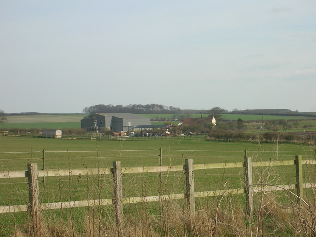
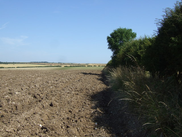
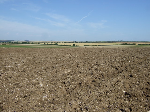
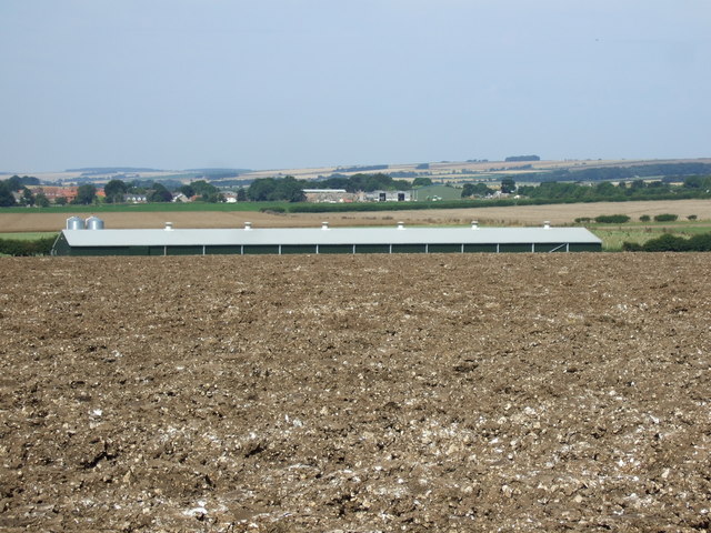
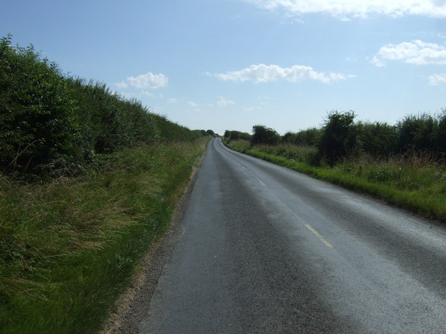
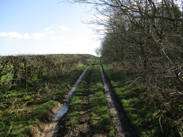
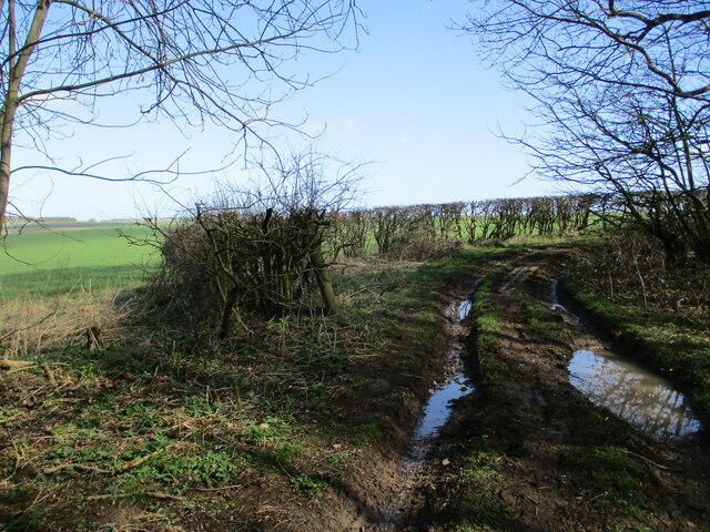
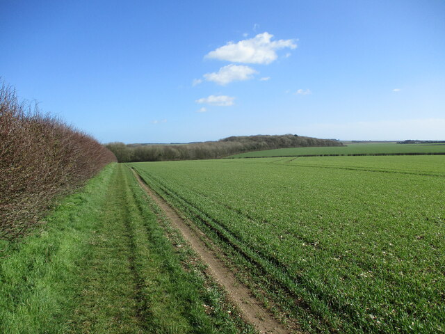
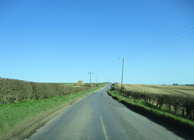
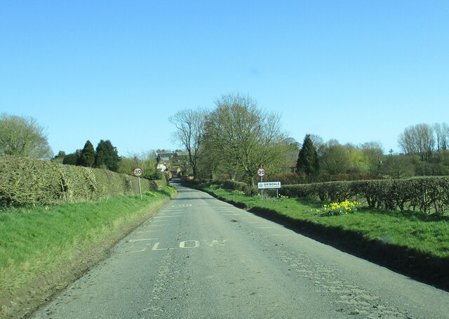
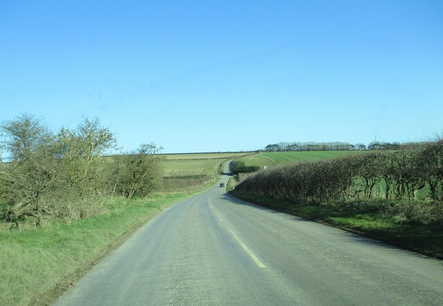
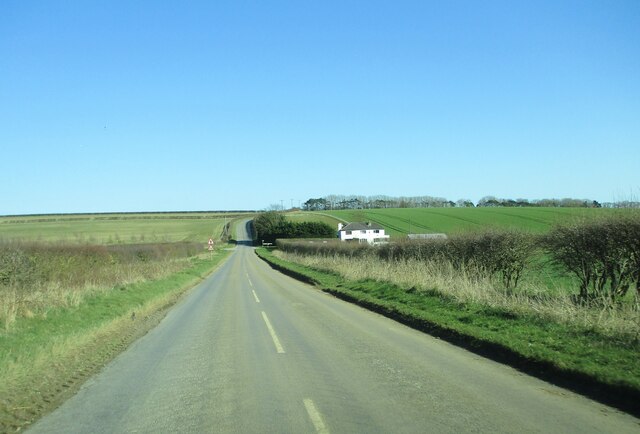
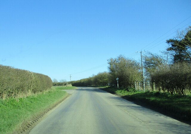
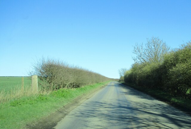
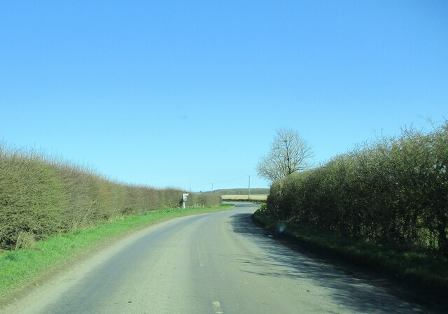
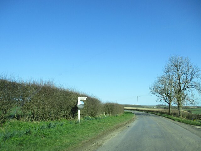
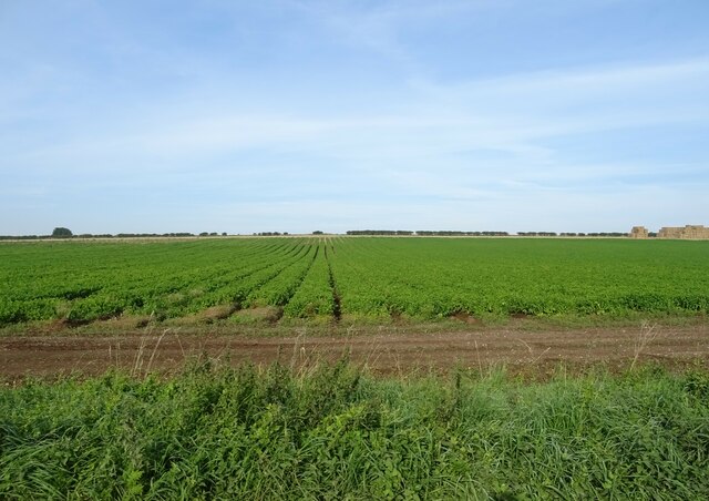
Argam Dikes Images
Images are sourced within 2km of 54.127/-0.293 or Grid Reference TA1171. Thanks to Geograph Open Source API. All images are credited.
Argam Dikes is located at Grid Ref: TA1171 (Lat: 54.127, Lng: -0.293)
Division: East Riding
What 3 Words
///drum.weaved.knees. Near Grindale, East Yorkshire
Nearby Locations
Related Wikis

Argam
Argam, or Argham (sometimes Ergam, or Ergham), was a civil parish and village in the East Riding of Yorkshire, England. The site is listed in many historical...

Grindale
Grindale is a village and civil parish in the East Riding of Yorkshire, England. It is situated approximately 4 miles (6 km) north-west of Bridlington...

Burton Fleming
Burton Fleming is a village and civil parish in the East Riding of Yorkshire, England. It lies close to the border with North Yorkshire. The village is...

Boynton, East Riding of Yorkshire
Boynton is a village and civil parish in the East Riding of Yorkshire, England. It is situated approximately 3 miles (5 km) west of the town of Bridlington...

Speeton railway station
Speeton railway station served the villages of Speeton and Reighton in North Yorkshire, England. It was situated on the Yorkshire Coast Line from Scarborough...

Reighton
Reighton is a village and civil parish, in North Yorkshire, England. From the mediaeval era until the 19th century Reighton was part of Dickering Wapentake...

Rudston Monolith
The Rudston Monolith at over 25 feet (7.6 m) is the tallest megalith (standing stone) in the United Kingdom. It is situated in the churchyard in the village...

Boynton Hall
Boynton Hall is a country house in the village of Boynton near Bridlington, East Riding of Yorkshire, England. It is a Grade I listed building.Originally...
Nearby Amenities
Located within 500m of 54.127,-0.293Have you been to Argam Dikes?
Leave your review of Argam Dikes below (or comments, questions and feedback).