Yeldersley

Settlement in Derbyshire Derbyshire Dales

England

Yeldersley

The road to Ashbourne On the way to Ashbourne we pass Yeldersley Hall just behind us and the small group of houses close to Yeldersley Home Farm.
The road to Ashbourne Credit: Malcolm Neal

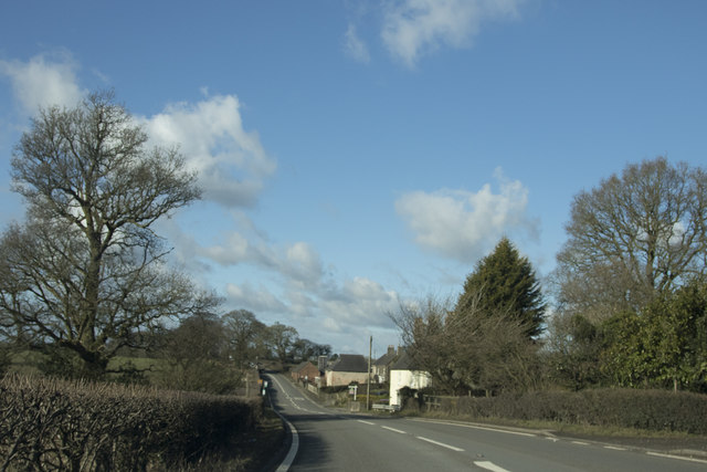
Yeldersley is a small village located in the county of Derbyshire, England. Situated approximately 7 miles southwest of the city of Derby, it falls within the Amber Valley district. With a population of around 250 residents, it is a close-knit community that offers a tranquil and picturesque setting.

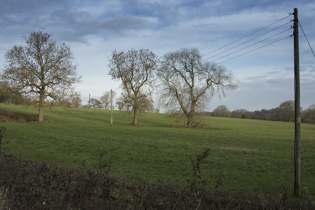
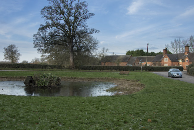
The village is surrounded by beautiful countryside, with rolling hills and lush green fields. It benefits from its rural location while still maintaining good transport links to nearby towns and cities. Yeldersley is accessed via the B5023 road, which connects it to the neighboring villages of Brailsford and Kirk Langley.

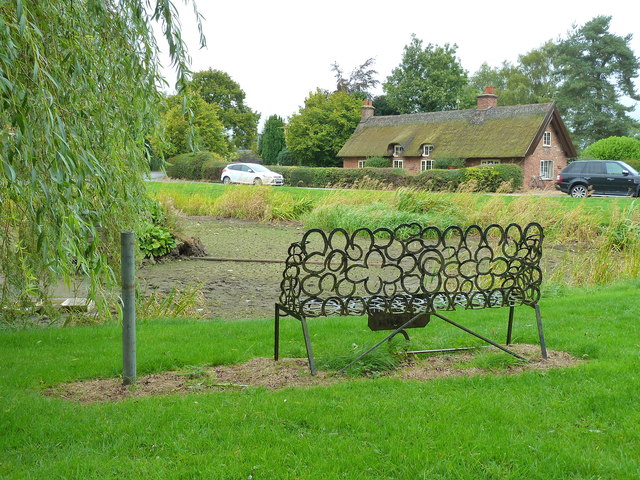
Although Yeldersley is primarily a residential area, it is also home to a few small businesses, including a local pub and a farm shop. The village is renowned for its farming heritage, with many of the residents involved in agriculture or related industries.

Yeldersley offers a range of amenities for its residents, including a village hall and a small playground for children. The community is active and engaged, organizing various events throughout the year, such as summer fairs and Christmas markets.

The surrounding area provides plenty of opportunities for outdoor activities, including walking, cycling, and horse riding. Yeldersley is also within close proximity to the Peak District National Park, offering stunning landscapes and numerous hiking trails.

Overall, Yeldersley is a charming village that combines the tranquility of rural living with easy access to amenities and recreational opportunities. It provides a peaceful retreat for those seeking a slower pace of life in the heart of the Derbyshire countryside.

If you have any feedback on the listing, please let us know in the comments section below.
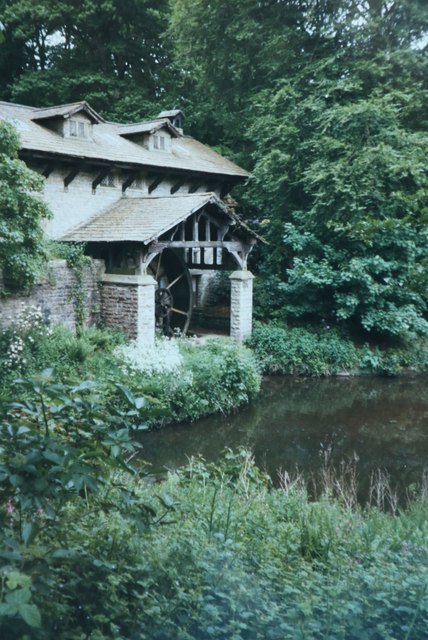
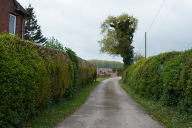
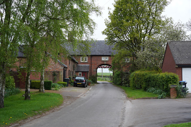
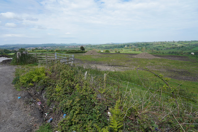
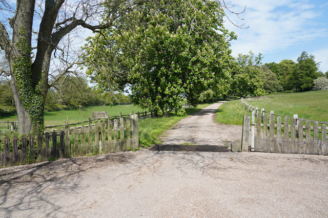
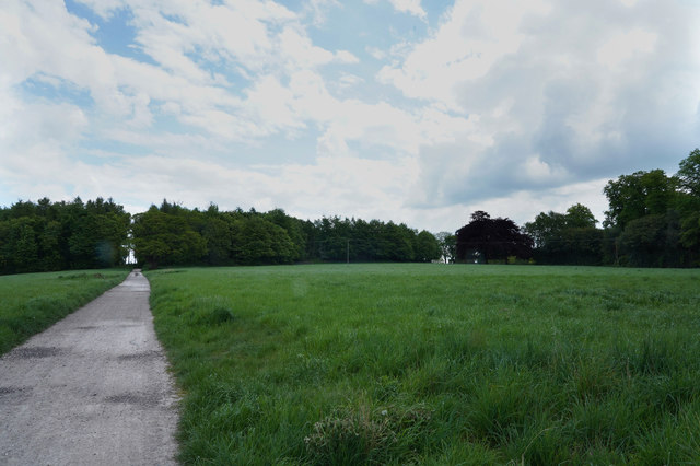
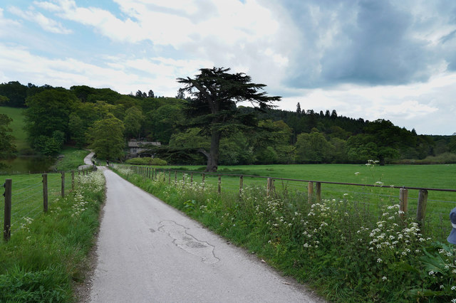
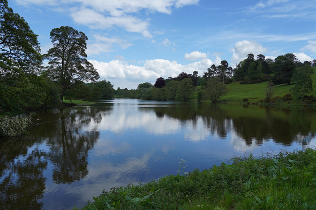
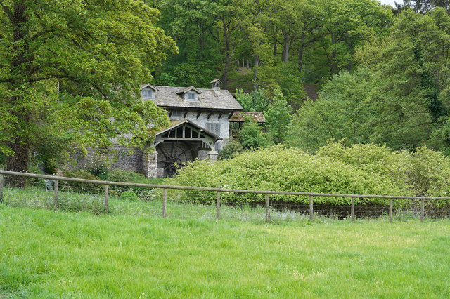
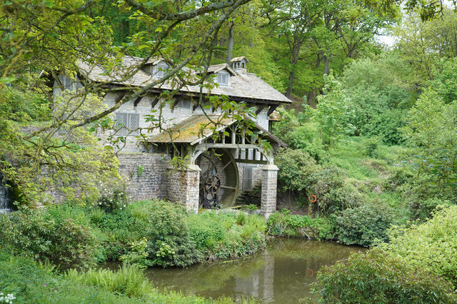
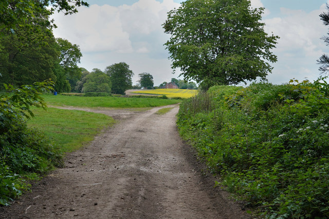
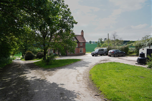
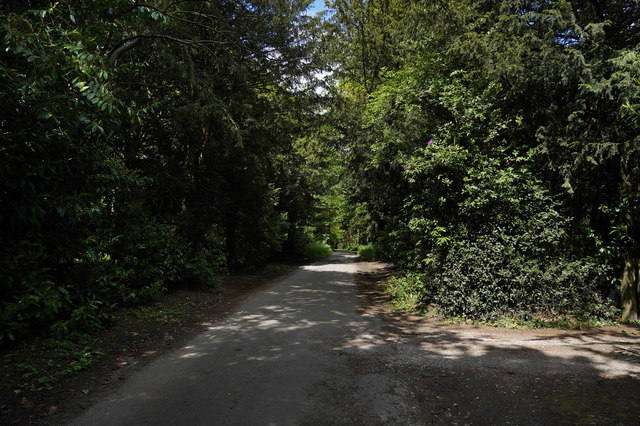
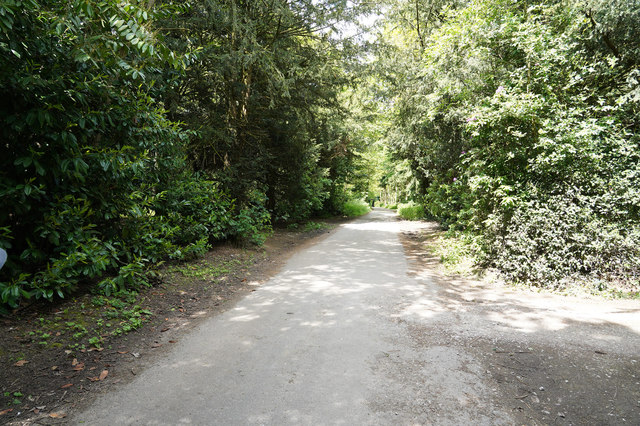
Yeldersley Images

Images are sourced within 2km of 52.997455/-1.6998823 or Grid Reference SK2044. Thanks to Geograph Open Source API. All images are credited.

The road to Ashbourne On the way to Ashbourne we pass Yeldersley Hall just behind us and the small group of houses close to Yeldersley Home Farm.
The road to Ashbourne
On the way to Ashbourne we pass Yeldersley Hall just behind us and the small group of houses close to Yeldersley Home Farm.
Horseshoe Bench Bench made of old horseshoes beside the (empty) Osmaston Pond.
Horseshoe Bench
Bench made of old horseshoes beside the (empty) Osmaston Pond.
Across the fields A winters morning showing bare trees and grassy fields.
Across the fields
A winters morning showing bare trees and grassy fields.
Osmaston Village pond Looking across the lightly frozen triangular village pond at Osmaston
Osmaston Village pond
Looking across the lightly frozen triangular village pond at Osmaston
Saw Mill in Osmaston Park Taken on film sometime in 1998. The saw mill is on the edge of the lake at Osmaston / Shirley Park.
Saw Mill in Osmaston Park
Taken on film sometime in 1998. The saw mill is on the edge of the lake at Osmaston / Shirley Park.
Looking at War Farm The track is closely lined with hedges as it goes towards the farm.
Looking at War Farm
The track is closely lined with hedges as it goes towards the farm.
Hole in the Wall The minor road goes through a building at the quaintly named "Hole in the Wall". There are many warning signs about a low arch as you approach the gap.
Hole in the Wall
The minor road goes through a building at the quaintly named "Hole in the Wall". There are many warning signs about a low arch as you approach the gap.
Piles of spoil in the field There are a couple of piles of spoil in the field at the top of this hill. They do give the area a somewhat unkempt look.
Piles of spoil in the field
There are a couple of piles of spoil in the field at the top of this hill. They do give the area a somewhat unkempt look.
The track to Lady Hole Lady Hole appears to be a house isolated from the nearby Lady Hole Farm.
The track to Lady Hole
Lady Hole appears to be a house isolated from the nearby Lady Hole Farm.
Walking along Bonnie Prince Charlie Walk Bonnie Prince Charlie Walk was a Millennial project which linked some footpaths and bridleways and makes for a very pleasant and quiet walk in the countryside.
Walking along Bonnie Prince Charlie Walk
Bonnie Prince Charlie Walk was a Millennial project which linked some footpaths and bridleways and makes for a very pleasant and quiet walk in the countryside.
Close to the Restored Saw mill Visible in the near distance is the restored saw mill.  There are notices outside saying that it will be converted into some sort of venue.
Close to the Restored Saw mill
Visible in the near distance is the restored saw mill. There are notices outside saying that it will be converted into some sort of venue.
A lake view A wonderful view with the sky reflected in the very still water of the lake on this warm afternoon.
A lake view
A wonderful view with the sky reflected in the very still water of the lake on this warm afternoon.
The restored Saw Mill The water wheel that powers the saw mill has been restored but I do not think it is used at all for its original purpose.
The restored Saw Mill
The water wheel that powers the saw mill has been restored but I do not think it is used at all for its original purpose.
Closer to the water wheel The water wheel is an impressive sight even when it is not turning.
Closer to the water wheel
The water wheel is an impressive sight even when it is not turning.
Another well made path Looking towards a field of Oil Seed Rape the path is extremely well made.
Another well made path
Looking towards a field of Oil Seed Rape the path is extremely well made.
A farm house On the Osmaston Estate the farm house and vehicles look in good order.
A farm house
On the Osmaston Estate the farm house and vehicles look in good order.
A shaded part of the Bridle Way With tall trees on both sides this shaded part of the path was a pleasant relief from the bright hot sun.
A shaded part of the Bridle Way
With tall trees on both sides this shaded part of the path was a pleasant relief from the bright hot sun.
The sun shines on the path The density of the trees falls off and the sun bursts through heating up the path.
The sun shines on the path
The density of the trees falls off and the sun bursts through heating up the path.
Show me another place!

Yeldersley is located at Grid Ref: SK2044 (Lat: 52.997455, Lng: -1.6998823)

Administrative County: Derbyshire

District: Derbyshire Dales

Police Authority: Derbyshire

What 3 Words

///kinks.dwarf.tissue. Near Ashbourne, Derbyshire

Nearby Locations

Yeldersley

Related Wikis

St Martin's Church, Osmaston

St Martin's Church, Osmaston is a Grade II* listed parish church in the Church of England: 295  in Osmaston, Derbyshire Dales. == History == The original...

Yeldersley Hall, Derbyshire

Yeldersley Hall is a building of historical significance in Ashbourne, Derbyshire, England and is listed on the English Heritage Register. It was built...

Osmaston, Derbyshire Dales

Osmaston is a small village and civil parish in the Derbyshire Dales in the county of Derbyshire in England. The population of the civil parish as taken...

RAF Ashbourne

Royal Air Force Ashbourne, or more simply RAF Ashbourne, is a former Royal Air Force station located approximately 1.5 miles (2.4 km) south-east of the...

Nearby Amenities

Located within 500m of 52.997455,-1.6998823
Post Box
Operator: Royal Mail
Post Box Type: lamp
Ref: DE6 870
Lat/Long: 52.9974438/-1.6997837
Note: National speed limit sign SW-bound
Lat/Long: 52.9973686/-1.699951
Bus Stop
Painter's Lane
Bench: no
Bin: no
Naptan AtcoCode: 1000DOPL5657
Naptan NaptanCode: dbsdpada
Public Transport: platform
Shelter: no
Lat/Long: 52.9975958/-1.7003006
Bus Stop
Painter's Lane
Bench: no
Bin: no
Naptan AtcoCode: 1000DOPL5656
Naptan NaptanCode: dbsdmwtw
Public Transport: platform
Shelter: no
Lat/Long: 52.9973742/-1.6996937
Bus Stop
Home Farm
Bench: no
Bin: no
Public Transport: platform
Shelter: no
Lat/Long: 52.9947142/-1.6941261
Bus Stop
Home Farm
Bench: no
Bin: no
Public Transport: platform
Shelter: no
Lat/Long: 52.9952784/-1.6949355
Crossing
Crossing Island: yes
Lat/Long: 53.0004929/-1.7017369
Bus Stop
Bus: yes
Public Transport: platform
Lat/Long: 52.9999877/-1.7013681
The data included in this document is from www.openstreetmap.org. The data is made available under ODbL.

Have you been to Yeldersley?

Leave your review of Yeldersley below (or comments, questions and feedback).