Steeton

Settlement in Yorkshire Selby

England

Steeton

The Aagrah The Aagrah Indian restaurant on the A64. This used to be The Wild Man public house.
The Aagrah Credit: John Davidson

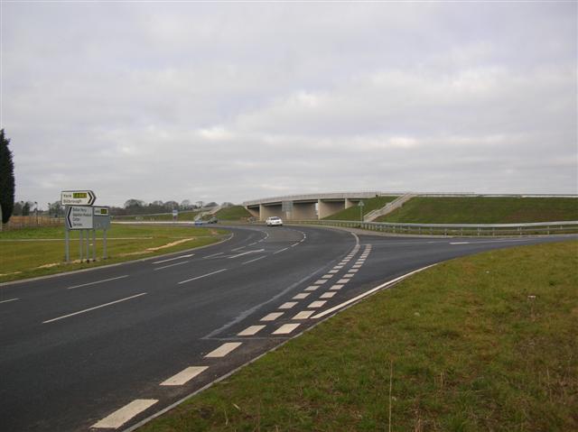
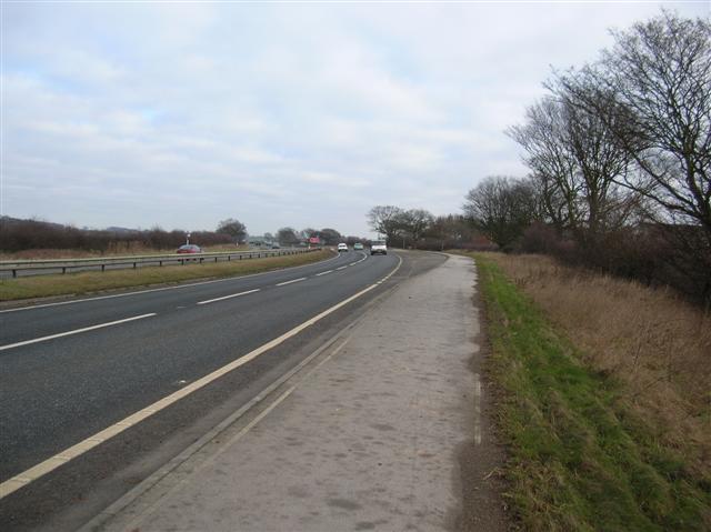
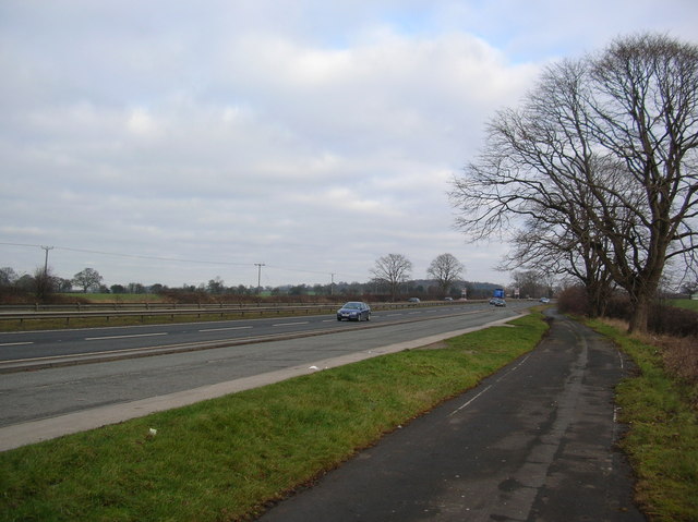
Steeton is a small village located in the Craven district of North Yorkshire, England. Situated approximately 4 miles southeast of Keighley, it is nestled between the A629 road and the Leeds and Liverpool Canal. With a population of around 4,000 residents, Steeton is a tight-knit community with a rich history.

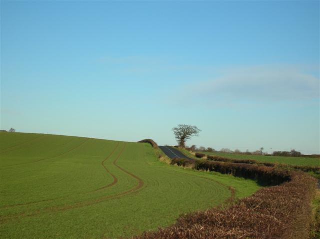
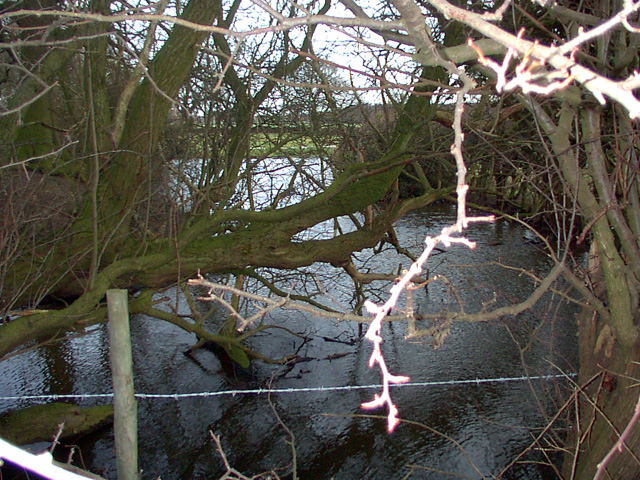
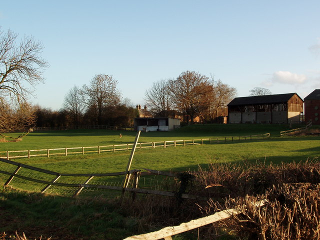
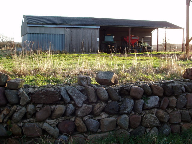
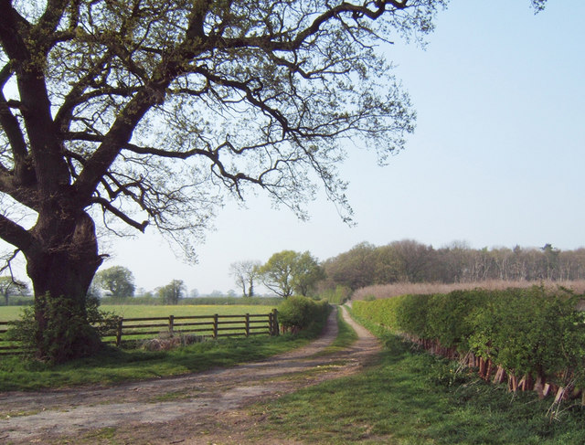
The village has a charming rural setting, surrounded by picturesque countryside and rolling hills. It offers a peaceful and tranquil atmosphere, making it an ideal place for those seeking a quieter lifestyle away from the hustle and bustle of larger towns and cities.

Steeton is well-connected to neighboring areas, with regular bus services and a train station that provides easy access to Leeds, Bradford, and other nearby towns. This makes it a convenient location for commuters.

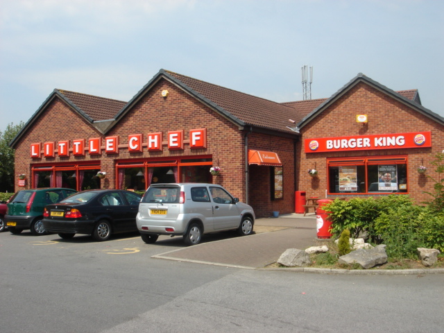
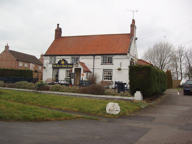
The village boasts a range of amenities, including a primary school, a medical center, a post office, and a handful of local shops. There are also several pubs and restaurants, providing options for socializing and dining out.

Nature lovers will appreciate the village's close proximity to outdoor recreational areas, such as the picturesque Aire Valley and the nearby Yorkshire Dales National Park. These offer opportunities for hiking, cycling, and exploring the natural beauty of the region.

Overall, Steeton offers a peaceful and welcoming environment, making it an attractive place to live for those seeking a close-knit community and a rural lifestyle.

If you have any feedback on the listing, please let us know in the comments section below.
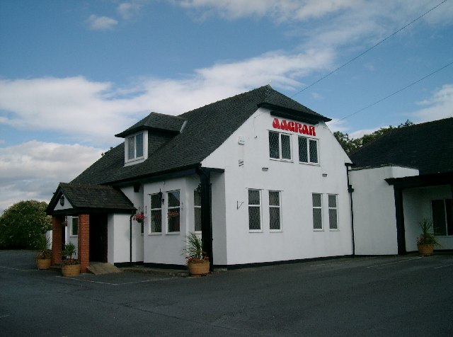
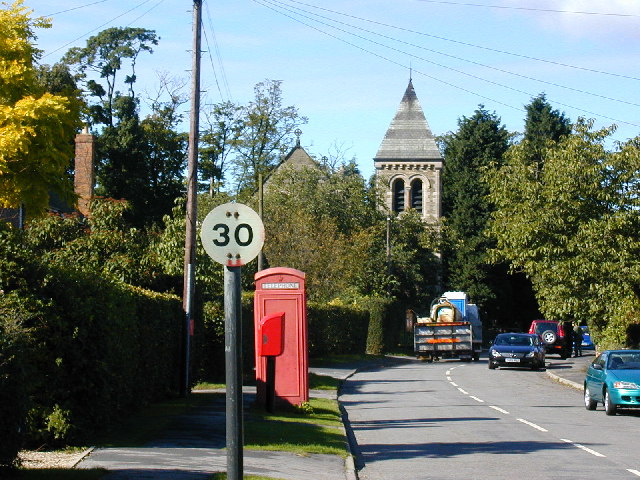
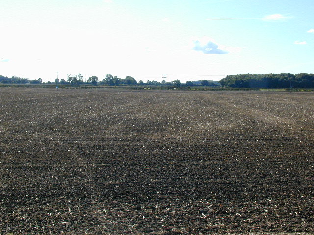
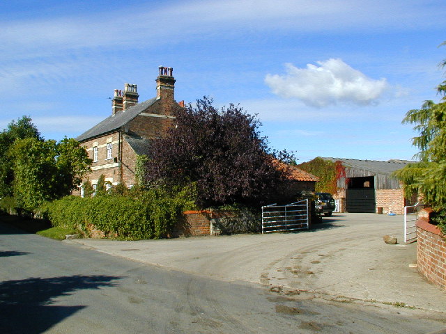
Steeton Images

Images are sourced within 2km of 53.900069/-1.2016253 or Grid Reference SE5245. Thanks to Geograph Open Source API. All images are credited.

The Aagrah The Aagrah Indian restaurant on the A64. This used to be The Wild Man public house.
The Aagrah
The Aagrah Indian restaurant on the A64. This used to be The Wild Man public house.
Looking west along Bilbrough main street Street furniture and waste carrying portable toilet, belie the beauty of the church.
Village consists of main street and "Back Lane".
Looking west along Bilbrough main street
Street furniture and waste carrying portable toilet, belie the beauty of the church. Village consists of main street and "Back Lane".
View south from minor road west of Bilbrough Southern end of the Vale of York, looking south. Ferrybridge power station is occasionally visible through the trees.  Large arable fields make for a monotonous landscape.
View south from minor road west of Bilbrough
Southern end of the Vale of York, looking south. Ferrybridge power station is occasionally visible through the trees. Large arable fields make for a monotonous landscape.
Eastgarth farmhouse Large farmhouse at the eastern end of the hamlet of Catterton on Moor Lane - note exotic chimneys.
Eastgarth farmhouse
Large farmhouse at the eastern end of the hamlet of Catterton on Moor Lane - note exotic chimneys.
A64 - Colton Lane This large road junction meets the end of the bridlepath from Copmanthorpe. The A64 runs under the bridge, with the right being towards York.
A64 - Colton Lane
This large road junction meets the end of the bridlepath from Copmanthorpe. The A64 runs under the bridge, with the right being towards York.
A64 - Bowbridge farm Bowbridge farm is on the right. Away from the camera is towards York.
A64 - Bowbridge farm
Bowbridge farm is on the right. Away from the camera is towards York.
A64 Looking along the A64 towards York, between York and Tadcaster. The section at the side is a cycle route that runs along this stretch of the A64, making Tadcaster now easily accessible from York by bike, although not the most pleasant route.
A64
Looking along the A64 towards York, between York and Tadcaster. The section at the side is a cycle route that runs along this stretch of the A64, making Tadcaster now easily accessible from York by bike, although not the most pleasant route.
Little Chef on the A64 near Askham Richard. Little Chefs are hard to find nowadays - at one time they were everywhere.
Little Chef
on the A64 near Askham Richard. Little Chefs are hard to find nowadays - at one time they were everywhere.
Bilbrough, St James's Church This Church is mid way down the eastern boundary of the O/S grid which it occupies.
Bilbrough, St James's Church
This Church is mid way down the eastern boundary of the O/S grid which it occupies.
View near Bilbrough on the A64 towards Leeds
Colton The village of Colton, southwest of York.
Colton
The village of Colton, southwest of York.
Across to Steeton Hall Taken from the edge of Colton village, looking across farmland to Steeton Hall in the distance.
Across to Steeton Hall
Taken from the edge of Colton village, looking across farmland to Steeton Hall in the distance.
Mill Hill This is along Braegate lane.
Mill Hill
This is along Braegate lane.
Moat A view of the Moat by Old Street Farm near Catterton.
Moat
A view of the Moat by Old Street Farm near Catterton.
Paddock and Farm Buildings, Beck Farm, Catterton The village of Catterton lies on the intersection of four Geograph squares and Beck Farm is in SE5045.  This view is from Moor Lane on the Western edge of the village.
Paddock and Farm Buildings, Beck Farm, Catterton
The village of Catterton lies on the intersection of four Geograph squares and Beck Farm is in SE5045. This view is from Moor Lane on the Western edge of the village.
Farm Building in Catterton, North Yorkshire Catterton is a typical small farming hamlet centred around two or three farms.  It also situated at the intersection of four geograph squares and this farm building is situated within SE5145.
Farm Building in Catterton, North Yorkshire
Catterton is a typical small farming hamlet centred around two or three farms. It also situated at the intersection of four geograph squares and this farm building is situated within SE5145.
Ye Old Sun Inn, Colton, North Yorkshire Colton is a typical one-street village, with one church and one pub.  This is the pub.
Ye Old Sun Inn, Colton, North Yorkshire
Colton is a typical one-street village, with one church and one pub. This is the pub.
Oak Oak on Lowmoor Farm access road.
Oak
Oak on Lowmoor Farm access road.
Show me another place!

Steeton is located at Grid Ref: SE5245 (Lat: 53.900069, Lng: -1.2016253)

Division: West Riding

Administrative County: North Yorkshire

District: Selby

Police Authority: North Yorkshire

What 3 Words

///daydreams.chained.rescue. Near Askham Richard, North Yorkshire

Nearby Locations

Street Houses Steeton

Related Wikis

Steeton, North Yorkshire

Steeton is a civil parish about 6 miles from York, in North Yorkshire, England. In 2001 the parish had a population of 27. The parish touches Appleton...

Steeton Hall Farm

Steeton Hall Farm is a historic building in the civil parish of Steeton, North Yorkshire, south-west of York in England. Steeton Hall was in existence...

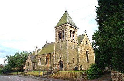
St James' Church, Bilbrough

St James' Church is the parish church of Bilbrough, a village between York and Tadcaster in North Yorkshire, in England. A church was built on the site...

Bilbrough

Bilbrough () is a village and civil parish in the Selby District of North Yorkshire, England, 6 miles (10 km) south-west of York, and just outside the...

Nearby Amenities

Located within 500m of 53.900069,-1.2016253
Power: pole
Source: Bing
Lat/Long: 53.9037977/-1.1993069
Power: pole
Source: Bing
Lat/Long: 53.9010891/-1.2030245
Power: pole
Source: Bing
Lat/Long: 53.9026344/-1.2009036
Power: pole
Source: Bing
Lat/Long: 53.9020192/-1.201748
Bus Stop
Street Houses
Bench: no
Bin: no
Bus: yes
Naptan AtcoCode: 3200YNF10373
Naptan NaptanCode: 32010373
Operator: Coastliner
Public Transport: platform
Shelter: no
Source: survey
Towards: Copmanthorpe;York;Malton;East Coast
Lat/Long: 53.9026876/-1.197369
Steeton Grange
Building: yes
Source: OS 1:25k
Source Name: OS 1:25k
Lat/Long: 53.8966499/-1.2006859
Waile Hill
Natural: peak
Source: OS 1:25k
Source Name: OS 1:25k
Lat/Long: 53.8974086/-1.1998705
Material: wood
Power: pole
Source: Bing
Lat/Long: 53.8982316/-1.2070588
Material: wood
Power: pole
Source: Bing
Lat/Long: 53.8976159/-1.2080007
Material: wood
Power: pole
Source: Bing
Lat/Long: 53.8993291/-1.2054788
Bus Stop
Bus: yes
Public Transport: platform
Lat/Long: 53.9022191/-1.1977192
Bus Stop
Bench: no
Description: Layby
Naptan AtcoCode: 3200YNF10372
Naptan NaptanCode: 32010372
Shelter: no
Lat/Long: 53.9005551/-1.201144
Parking
Access: yes
Description: Layby
Fee: no
Parking: layby
Lat/Long: 53.8974166/-1.2068174
Material: wood
Power: pole
Source: Bing
Lat/Long: 53.8998471/-1.2029519
Material: wood
Power: pole
Source: Bing
Lat/Long: 53.899878/-1.2047221
Power: pole
Source: Bing
Lat/Long: 53.9004927/-1.2038749
Material: wood
Power: pole
Source: Bing
Lat/Long: 53.898806/-1.2061892
Material: wood
Power: pole
Transformer: distribution
Lat/Long: 53.8995533/-1.2025409
Power: pole
Lat/Long: 53.8985596/-1.2020774
Power: pole
Lat/Long: 53.89775/-1.2017028
Power: pole
Lat/Long: 53.896799/-1.2012641
Information: guidepost
Tourism: information
Lat/Long: 53.9026379/-1.1976841
The data included in this document is from www.openstreetmap.org. The data is made available under ODbL.

Have you been to Steeton?

Leave your review of Steeton below (or comments, questions and feedback).