No Place
Settlement in Durham
England
No Place
No Place is a small village located in County Durham, England. Situated approximately 4 miles west of the city of Durham, it is part of the civil parish of Langley Moor. The village lies within the North East region of England and is surrounded by picturesque countryside.
No Place has a rich history, dating back to the 18th century when it was primarily a mining community. The village got its name from the phrase “No Place Like Home,” as it was said to be a place miners would long to return to after a hard day's work. The main industry in the area was coal mining, with several collieries operating in and around the village.
Today, No Place is a residential area with a close-knit community. The village is characterized by rows of terraced houses, which were once home to the miners and their families. While the mining industry has declined, No Place still retains its sense of heritage and community spirit.
The village is well-served by amenities, including a local primary school, a community center, and a small park. There are also a few local shops and businesses that cater to the needs of the residents.
No Place offers a peaceful and quiet environment, making it an attractive place to live for those seeking a rural setting close to urban amenities. Its proximity to Durham city provides residents with easy access to a wider range of services, employment opportunities, and cultural attractions.
If you have any feedback on the listing, please let us know in the comments section below.
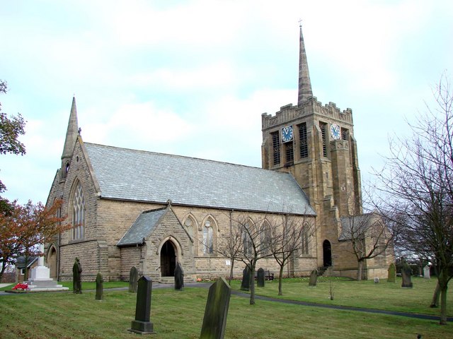
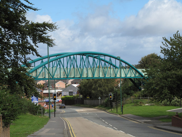
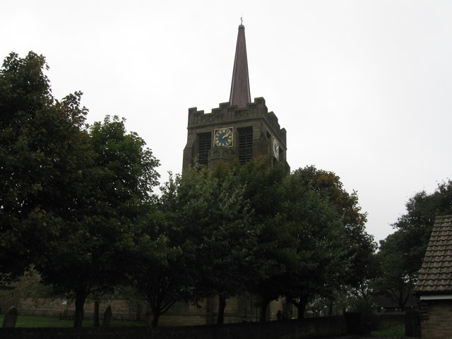
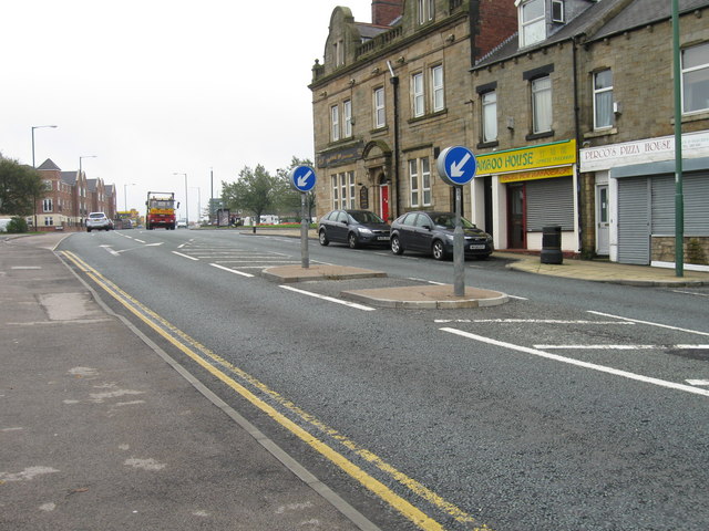
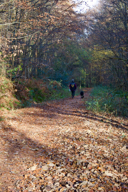
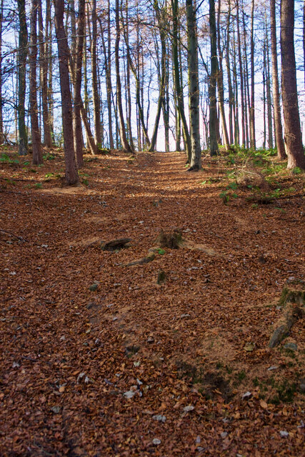
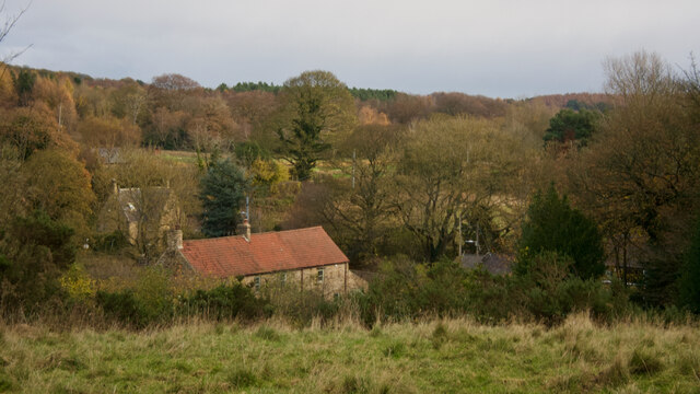
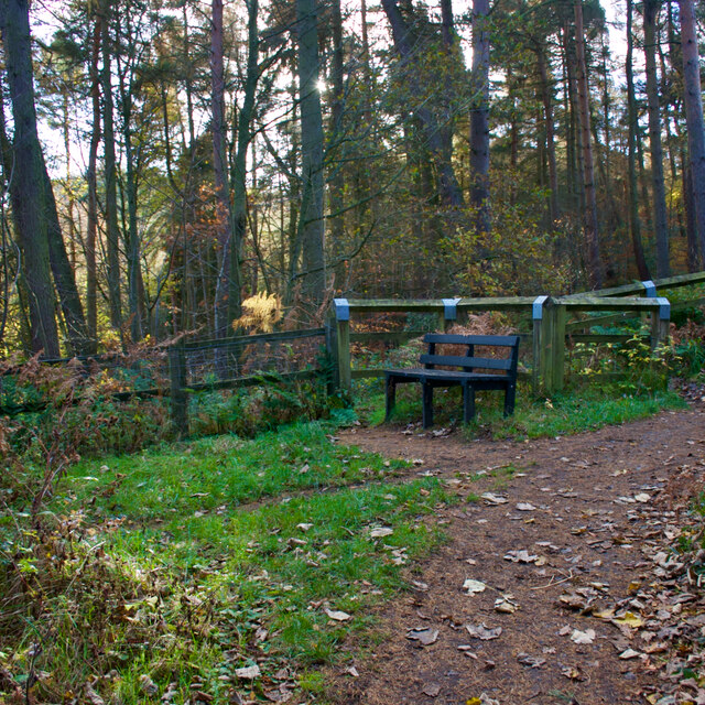
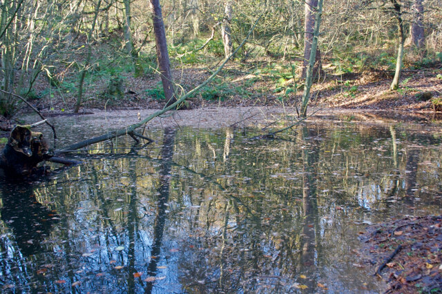
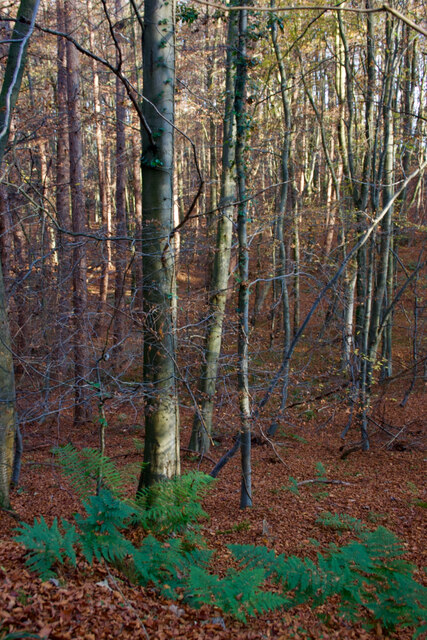
No Place Images
Images are sourced within 2km of 54.872996/-1.6640915 or Grid Reference NZ2153. Thanks to Geograph Open Source API. All images are credited.
![Industrial Ruins Probably boiler and engine houses associated with nearby drift.
sitelines.newcastle.gov.uk. (2021). Beamish Burn, engine house and windlass. [online] Available at: <span class="nowrap"><a title="https://twsitelines.info/SMR/6960" rel="nofollow ugc noopener" href="https://twsitelines.info/SMR/6960">Link</a><img style="margin-left:2px;" alt="External link" title="External link - shift click to open in new window" src="https://s1.geograph.org.uk/img/external.png" width="10" height="10"/></span> [Accessed 2 Dec. 2021].
sitelines.newcastle.gov.uk. (2021). Beamish Burn, boilers. [online] Available at: <span class="nowrap"><a title="https://twsitelines.info/SMR/6961" rel="nofollow ugc noopener" href="https://twsitelines.info/SMR/6961">Link</a><img style="margin-left:2px;" alt="External link" title="External link - shift click to open in new window" src="https://s1.geograph.org.uk/img/external.png" width="10" height="10"/></span> [Accessed 2 Dec. 2021].](https://s1.geograph.org.uk/geophotos/07/03/40/7034045_0235e4a8.jpg)
![Industrial Ruins Probably boiler and engine houses associated with nearby drift.
sitelines.newcastle.gov.uk. (2021). Beamish Burn, engine house and windlass. [online] Available at: <span class="nowrap"><a title="https://twsitelines.info/SMR/6960" rel="nofollow ugc noopener" href="https://twsitelines.info/SMR/6960">Link</a><img style="margin-left:2px;" alt="External link" title="External link - shift click to open in new window" src="https://s1.geograph.org.uk/img/external.png" width="10" height="10"/></span> [Accessed 2 Dec. 2021].
sitelines.newcastle.gov.uk. (2021). Beamish Burn, boilers. [online] Available at: <span class="nowrap"><a title="https://twsitelines.info/SMR/6961" rel="nofollow ugc noopener" href="https://twsitelines.info/SMR/6961">Link</a><img style="margin-left:2px;" alt="External link" title="External link - shift click to open in new window" src="https://s1.geograph.org.uk/img/external.png" width="10" height="10"/></span> [Accessed 2 Dec. 2021].](https://s3.geograph.org.uk/geophotos/07/03/40/7034047_99ec8b36.jpg)
![Industrial Ruins - dressed stone scatter Probably boiler and engine houses associated with nearby drift.
sitelines.newcastle.gov.uk. (2021). Beamish Burn, engine house and windlass. [online] Available at: <span class="nowrap"><a title="https://twsitelines.info/SMR/6960" rel="nofollow ugc noopener" href="https://twsitelines.info/SMR/6960">Link</a><img style="margin-left:2px;" alt="External link" title="External link - shift click to open in new window" src="https://s1.geograph.org.uk/img/external.png" width="10" height="10"/></span> [Accessed 2 Dec. 2021].
sitelines.newcastle.gov.uk. (2021). Beamish Burn, boilers. [online] Available at: <span class="nowrap"><a title="https://twsitelines.info/SMR/6961" rel="nofollow ugc noopener" href="https://twsitelines.info/SMR/6961">Link</a><img style="margin-left:2px;" alt="External link" title="External link - shift click to open in new window" src="https://s1.geograph.org.uk/img/external.png" width="10" height="10"/></span> [Accessed 2 Dec. 2021].](https://s0.geograph.org.uk/geophotos/07/03/40/7034048_1bffea26.jpg)
![Flint Saw Mill A water-powered corn, flint, fulling, and saw mill.
Annotated as &#039;Flint Saw Mill&#039; on the 1898 O.S. ordnance Survey map.
Maps.nls.uk. (2021). View map: Durham XII.NE (includes: Lamesley; Pelton; Urpeth.) - Ordnance Survey Six-inch England and Wales, 1842-1952. [online] Available at: <span class="nowrap"><a title="https://maps.nls.uk/view/101099582" rel="nofollow ugc noopener" href="https://maps.nls.uk/view/101099582">Link</a><img style="margin-left:2px;" alt="External link" title="External link - shift click to open in new window" src="https://s1.geograph.org.uk/img/external.png" width="10" height="10"/></span> [Accessed 2 Dec. 2021].
For more details:
Millsarchive.org. (2021). Pockerley Flint Mill, Beamish – The Mills Archive. [online] Available at: <span class="nowrap"><a title="https://new.millsarchive.org/mills/index/?action=show&amp;which=10294" rel="nofollow ugc noopener" href="https://new.millsarchive.org/mills/index/?action=show&amp;which=10294">Link</a><img style="margin-left:2px;" alt="External link" title="External link - shift click to open in new window" src="https://s1.geograph.org.uk/img/external.png" width="10" height="10"/></span> [Accessed 2 Dec. 2021].](https://s1.geograph.org.uk/geophotos/07/03/40/7034089_fd4776ce.jpg)
![Flint Saw Mill A water-powered corn, flint, fulling, and saw mill.
Annotated as &#039;Flint Saw Mill&#039; on the 1898 O.S. ordnance Survey map.
Maps.nls.uk. (2021). View map: Durham XII.NE (includes: Lamesley; Pelton; Urpeth.) - Ordnance Survey Six-inch England and Wales, 1842-1952. [online] Available at: <span class="nowrap"><a title="https://maps.nls.uk/view/101099582" rel="nofollow ugc noopener" href="https://maps.nls.uk/view/101099582">Link</a><img style="margin-left:2px;" alt="External link" title="External link - shift click to open in new window" src="https://s1.geograph.org.uk/img/external.png" width="10" height="10"/></span> [Accessed 2 Dec. 2021].
For more details:
Millsarchive.org. (2021). Pockerley Flint Mill, Beamish – The Mills Archive. [online] Available at: <span class="nowrap"><a title="https://new.millsarchive.org/mills/index/?action=show&amp;which=10294" rel="nofollow ugc noopener" href="https://new.millsarchive.org/mills/index/?action=show&amp;which=10294">Link</a><img style="margin-left:2px;" alt="External link" title="External link - shift click to open in new window" src="https://s1.geograph.org.uk/img/external.png" width="10" height="10"/></span> [Accessed 2 Dec. 2021].](https://s2.geograph.org.uk/geophotos/07/03/40/7034094_db8bc3ff.jpg)
![Flint Saw Mill - wheel pit A water-powered corn, flint, fulling, and saw mill.
Annotated as &#039;Flint Saw Mill&#039; on the 1898 O.S. ordnance Survey map.
Maps.nls.uk. (2021). View map: Durham XII.NE (includes: Lamesley; Pelton; Urpeth.) - Ordnance Survey Six-inch England and Wales, 1842-1952. [online] Available at: <span class="nowrap"><a title="https://maps.nls.uk/view/101099582" rel="nofollow ugc noopener" href="https://maps.nls.uk/view/101099582">Link</a><img style="margin-left:2px;" alt="External link" title="External link - shift click to open in new window" src="https://s1.geograph.org.uk/img/external.png" width="10" height="10"/></span> [Accessed 2 Dec. 2021].
For more details:
Millsarchive.org. (2021). Pockerley Flint Mill, Beamish – The Mills Archive. [online] Available at: <span class="nowrap"><a title="https://new.millsarchive.org/mills/index/?action=show&amp;which=10294" rel="nofollow ugc noopener" href="https://new.millsarchive.org/mills/index/?action=show&amp;which=10294">Link</a><img style="margin-left:2px;" alt="External link" title="External link - shift click to open in new window" src="https://s1.geograph.org.uk/img/external.png" width="10" height="10"/></span> [Accessed 2 Dec. 2021].](https://s1.geograph.org.uk/geophotos/07/03/41/7034113_8856d6b5.jpg)
![Flint Saw Mill A water-powered corn, flint, fulling, and saw mill.
Annotated as &#039;Flint Saw Mill&#039; on the 1898 O.S. ordnance Survey map.
Maps.nls.uk. (2021). View map: Durham XII.NE (includes: Lamesley; Pelton; Urpeth.) - Ordnance Survey Six-inch England and Wales, 1842-1952. [online] Available at: <span class="nowrap"><a title="https://maps.nls.uk/view/101099582" rel="nofollow ugc noopener" href="https://maps.nls.uk/view/101099582">Link</a><img style="margin-left:2px;" alt="External link" title="External link - shift click to open in new window" src="https://s1.geograph.org.uk/img/external.png" width="10" height="10"/></span> [Accessed 2 Dec. 2021].
For more details:
Millsarchive.org. (2021). Pockerley Flint Mill, Beamish – The Mills Archive. [online] Available at: <span class="nowrap"><a title="https://new.millsarchive.org/mills/index/?action=show&amp;which=10294" rel="nofollow ugc noopener" href="https://new.millsarchive.org/mills/index/?action=show&amp;which=10294">Link</a><img style="margin-left:2px;" alt="External link" title="External link - shift click to open in new window" src="https://s1.geograph.org.uk/img/external.png" width="10" height="10"/></span> [Accessed 2 Dec. 2021].](https://s0.geograph.org.uk/geophotos/07/03/41/7034116_6971915f.jpg)
![Flint Saw Mill A water-powered corn, flint, fulling, and saw mill.
Annotated as &#039;Flint Saw Mill&#039; on the 1898 O.S. ordnance Survey map.
Maps.nls.uk. (2021). View map: Durham XII.NE (includes: Lamesley; Pelton; Urpeth.) - Ordnance Survey Six-inch England and Wales, 1842-1952. [online] Available at: <span class="nowrap"><a title="https://maps.nls.uk/view/101099582" rel="nofollow ugc noopener" href="https://maps.nls.uk/view/101099582">Link</a><img style="margin-left:2px;" alt="External link" title="External link - shift click to open in new window" src="https://s1.geograph.org.uk/img/external.png" width="10" height="10"/></span> [Accessed 2 Dec. 2021].
For more details:
Millsarchive.org. (2021). Pockerley Flint Mill, Beamish – The Mills Archive. [online] Available at: <span class="nowrap"><a title="https://new.millsarchive.org/mills/index/?action=show&amp;which=10294" rel="nofollow ugc noopener" href="https://new.millsarchive.org/mills/index/?action=show&amp;which=10294">Link</a><img style="margin-left:2px;" alt="External link" title="External link - shift click to open in new window" src="https://s1.geograph.org.uk/img/external.png" width="10" height="10"/></span> [Accessed 2 Dec. 2021].](https://s1.geograph.org.uk/geophotos/07/03/41/7034117_b6551ec5.jpg)
No Place is located at Grid Ref: NZ2153 (Lat: 54.872996, Lng: -1.6640915)
Unitary Authority: County Durham
Police Authority: Durham
What 3 Words
///sprinting.fruitcake.fund. Near Stanley, Co. Durham
Nearby Locations
Related Wikis

No Place
No Place is a small village near the town of Stanley in County Durham, England, east of Stanley and west of Beamish. Situated to the south of the A693...

Beamish railway station
Beamish was a railway station which served the village of Beamish in County Durham, North East England, from 1894 to 1953. The station was built by the...

Beamish, County Durham
Beamish, previously named 'Pit Hill', is a village in County Durham, England, situated to the north east of Stanley. The village is contained within...

Beamish Museum
Beamish Museum is the first regional open-air museum, in England, located at Beamish, near the town of Stanley, in County Durham, England. Beamish pioneered...

Beamish Museum transport collection
Beamish Museum contains much of transport interest, and the size of its site makes good internal transportation for visitors and staff purposes a necessity...

West Stanley Pit disasters
The West Stanley Pit disasters refers to two explosions at the West Stanley colliery (variously known as West Stanley pit or Burns pit). West Stanley colliery...
High Forge
High Forge is a hamlet in County Durham, England. It is situated a short distance to the west of Urpeth, north of Beamish. == References ==

Beamish Hall
Beamish Hall is a mid-18th-century country house, now converted to a hotel, which stands in 24 acres (97,000 m2) of grounds near the town of Stanley, County...
Related Videos

Beamish Holiday Park
Beamish Holiday Park County Durham https://beamishholidaypark.co.uk/

BEAMISH MUSEUM | How To Spend A Day At The Living Museum of the North - An Unmissable UK Attraction!
Beamish the Living Museum of the North is a brilliant open air UK attraction in County Durham, North East England, that is ...

This is wild... this is Beamish Wild
Nestled in the ancient woodlands of Beamish Hall Hotel you'll find a wild tree top adventure awaits at Beamish Wild! To find out ...

Nearby Amenities
Located within 500m of 54.872996,-1.6640915Have you been to No Place?
Leave your review of No Place below (or comments, questions and feedback).