No Man's Land

Settlement in Cornwall

England

No Man's Land

Lay-by on B3269 north of No Man's Land
Lay-by on B3269 north of No Man's Land Credit: David Smith

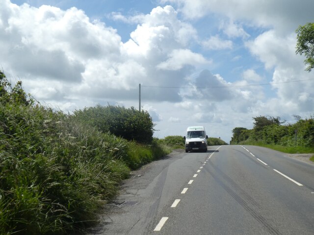
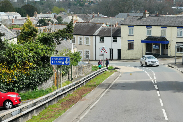
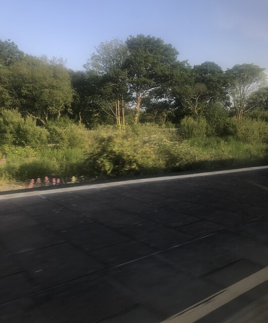
No Man's Land is a small coastal area located in Cornwall, England. Situated on the southern coast of the county, it is part of the larger Penwith Peninsula. The name "No Man's Land" refers to its isolated and desolate nature, as it is largely uninhabited and devoid of any permanent structures.

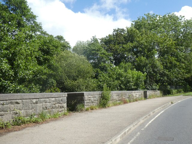
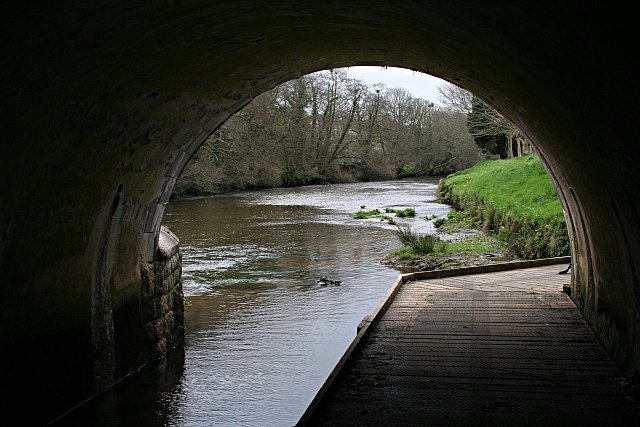
The area is characterized by its rugged and unspoiled beauty. Its coastline is dotted with towering cliffs and hidden coves, providing breathtaking views of the Atlantic Ocean. The coastal path that runs through No Man's Land offers stunning walking opportunities, attracting hikers and nature enthusiasts from all over.

No Man's Land is also known for its diverse wildlife and rich biodiversity. The area is home to a variety of bird species, including puffins, guillemots, and razorbills. Seals can often be spotted basking on the rocks, adding to the area's charm.

Although No Man's Land is not a popular tourist destination, it does offer a sense of tranquility and solitude for those seeking an escape from the bustling city life. Visitors can enjoy exploring the coastal trails, taking in the stunning scenery, or simply relaxing on the quiet sandy beaches.

Overall, No Man's Land in Cornwall is a hidden gem that showcases the raw beauty and natural wonders of the region. Its untouched landscape and peaceful atmosphere make it a perfect destination for those seeking a peaceful retreat in the heart of nature.

If you have any feedback on the listing, please let us know in the comments section below.

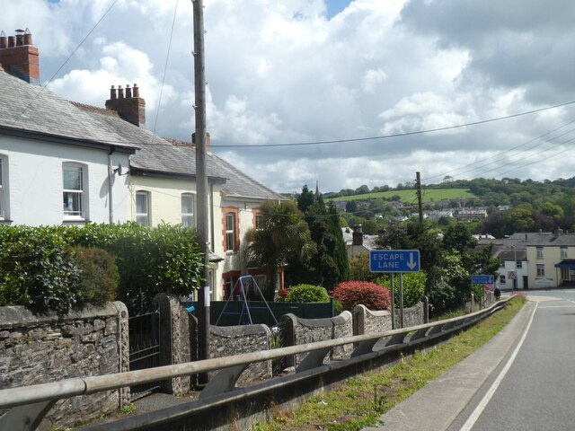
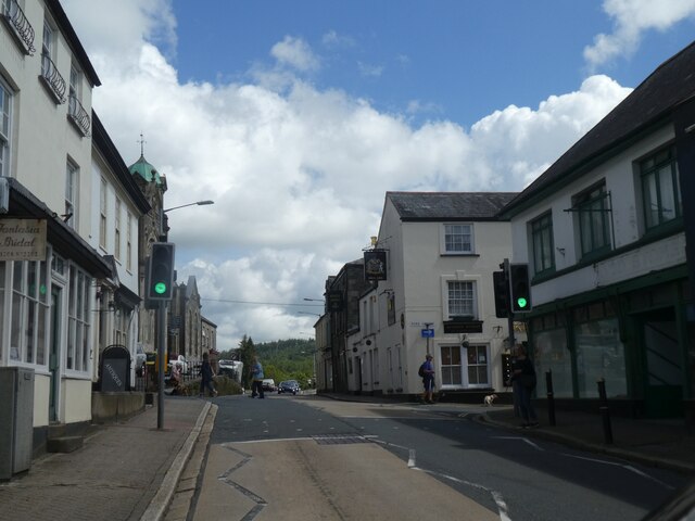
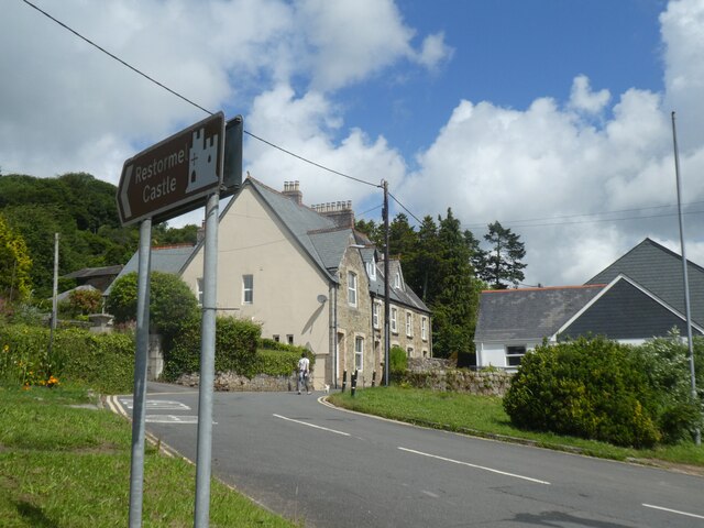
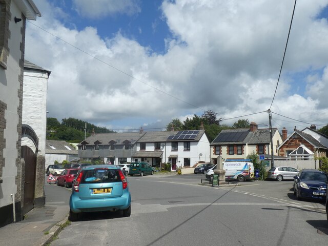
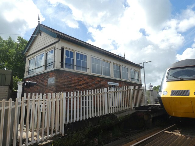
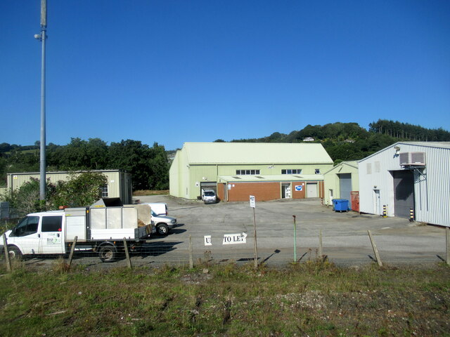
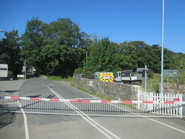
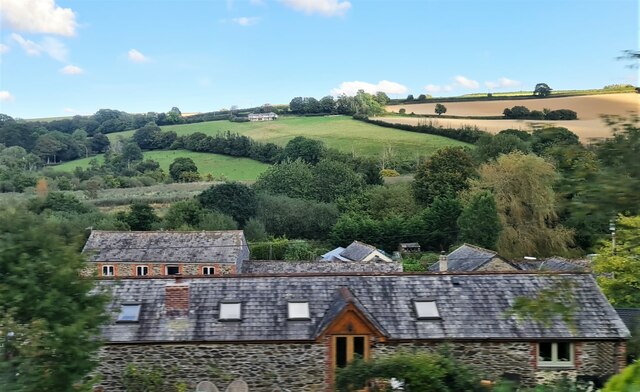
No Man's Land Images

Images are sourced within 2km of 50.400491/-4.6898524 or Grid Reference SX0859. Thanks to Geograph Open Source API. All images are credited.

Lay-by on B3269 north of No Man's Land
Parapet of Restormel Bridge, Lostwithiel
Industrial units on outskirts of Lostwithiel
Restormel Road Cemetery
Edgecombe Road, Lostwithiel
Queen Street, Lostwithiel
Restormel Road, Lostwithiel
Grenville Road, Lostwithiel
Signal box. Lostwithiel railway station Lostwithiel station serves the town of Lostwithiel in Cornwall. Great Western Railway operates the station along with every other station in Cornwall.
The station is on the banks of the River Fowey in Cornwall. At the east end of the station is a level crossing while at the west end the line is carried over the river, beyond which is the junction for the Fowey branch which is now used by china clay trains only. The station opened in 1859.
Signal box. Lostwithiel railway station
Lostwithiel station serves the town of Lostwithiel in Cornwall. Great Western Railway operates the station along with every other station in Cornwall. The station is on the banks of the River Fowey in Cornwall. At the east end of the station is a level crossing while at the west end the line is carried over the river, beyond which is the junction for the Fowey branch which is now used by china clay trains only. The station opened in 1859.
Restormel Industrial Estate Lostwithiel
Grenville Road level crossing, Lostwithiel
Pill Farm, Lostwithiel
Edgcumbe Road, Lostwithiel The A390  runs for 60 miles between Tavistock and a roundabout with the A30 at Three Burrows, 5 miles north west of the city of Truro in Cornwall, via Lostwithiel, St Blazey, and St Austell. It is an important road as it forms part of the main route (the Truro to Dobwalls section) from Truro to Plymouth. It can be used to travel along the spine of Cornwall as a more leisurely drive instead of using the A30.
Edgcumbe Road, Lostwithiel
The A390 runs for 60 miles between Tavistock and a roundabout with the A30 at Three Burrows, 5 miles north west of the city of Truro in Cornwall, via Lostwithiel, St Blazey, and St Austell. It is an important road as it forms part of the main route (the Truro to Dobwalls section) from Truro to Plymouth. It can be used to travel along the spine of Cornwall as a more leisurely drive instead of using the A30.
The Towerhouse Former Wesleyan Chapel now turned into apartments.
The Towerhouse
Former Wesleyan Chapel now turned into apartments.
Chapel House, former Wesleyan Chapel
Lostwithiel Community Centre
Railway platform at Lostwithiel
Footpath under the Bridge In order to carry walkers safely across the main road on the riverbank path, this walkway has been built through one of the bridge arches and over the waters of the River Fowey.
Footpath under the Bridge
In order to carry walkers safely across the main road on the riverbank path, this walkway has been built through one of the bridge arches and over the waters of the River Fowey.
Show me another place!

No Man's Land is located at Grid Ref: SX0859 (Lat: 50.400491, Lng: -4.6898524)

Unitary Authority: Cornwall

Police Authority: Devon and Cornwall

What 3 Words

///sunk.store.removable. Near Lostwithiel, Cornwall

Nearby Locations

No Man's Land

Related Wikis

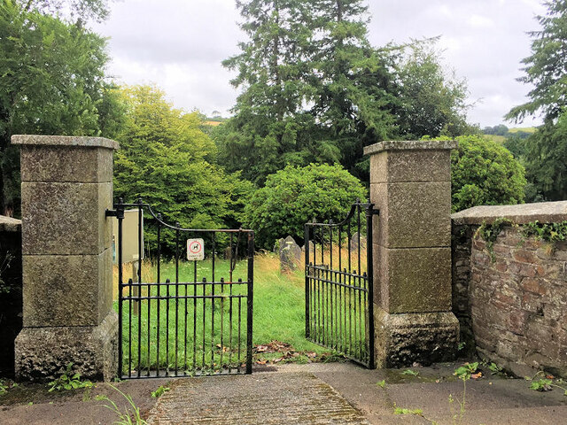
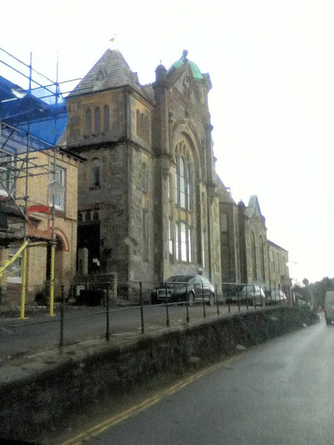
St Brevita's Church, Lanlivery

St Brevita's Church is a Grade I listed medieval parish church of the Church of England in Lanlivery, Cornwall. The church was built in the 14th and 15th...
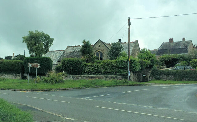
Lanlivery

Lanlivery (Cornish: Lannlyvri) is a village and civil parish in Cornwall, England, United Kingdom. The village is about 1+1⁄2 miles (2.4 km) west of Lostwithiel...

Puddle, Cornwall

Puddle is a hamlet near Lanlivery in mid Cornwall, England, United Kingdom. == References ==

Lostwithiel Guildhall

Lostwithiel Guildhall is a municipal building in Fore Street in Lostwithiel, Cornwall, England. The structure, which currently accommodates the local museum...

Lostwithiel

Lostwithiel (; Cornish: Lostwydhyel) is a civil parish and small town in Cornwall, England, United Kingdom at the head of the estuary of the River Fowey...

St Bartholomew's Church, Lostwithiel

St Bartholomew's Church is a parish church of the Church of England Diocese of Truro in Lostwithiel, Cornwall, England, United Kingdom. == Background... ==

Lostwithiel Stannary Palace

The Stannary Palace, also known as the Duchy Palace, was a complex of buildings operated by the Dukes of Cornwall as the centre of their administration...

Hillhead, Cornwall

Hillhead is a hamlet in the parish of Lostwithiel, Cornwall, England. == References ==

Nearby Amenities

Located within 500m of 50.400491,-4.6898524
Barrier: kissing_gate
Lat/Long: 50.4017229/-4.6927343
Barrier: stile
Lat/Long: 50.4015148/-4.6898635
Veterinary
Pelyn Veterinary Group
Lat/Long: 50.4004625/-4.6903997
Natural: stone
Lat/Long: 50.4010048/-4.6937796
Power: pole
Lat/Long: 50.4016504/-4.6957192
Power: pole
Lat/Long: 50.402206/-4.6946168
Power: pole
Lat/Long: 50.4025633/-4.6938752
Power: pole
Lat/Long: 50.4030181/-4.6929592
Power: pole
Lat/Long: 50.4041498/-4.6906498
Power: pole
Lat/Long: 50.4047328/-4.6900141
Bus Stop
Pelyn Cross
Bus: yes
Long Name: Lanlivery Pelyn Cross (SW-bound)
Naptan AdministrativeAreaCode: 73
Naptan AtcoCode: 0800COA15869
Naptan Bearing: SW
Naptan BusStopType: CUS
Naptan CommonName: Pelyn Cross
Naptan Indicator: SW-bound
Naptan LocalityName: Lanlivery
Naptan ModificationDate: 2017-01-04 09:42
Naptan NptgLocalityCode: E0044640
Naptan RegionCode: corgmamw
Naptan Verified: no
Public Transport: platform
Lat/Long: 50.40051/-4.68966
Bus Stop
Pelyn Cross
Bus: yes
Long Name: Lanlivery Pelyn Cross (NE-bound)
Naptan AdministrativeAreaCode: 73
Naptan AtcoCode: 0800COA15868
Naptan Bearing: NE
Naptan BusStopType: CUS
Naptan CommonName: Pelyn Cross
Naptan Indicator: NE-bound
Naptan LocalityName: Lanlivery
Naptan ModificationDate: 2017-01-04 09:42
Naptan NptgLocalityCode: E0044640
Naptan RegionCode: corgmamt
Naptan Verified: no
Public Transport: platform
Lat/Long: 50.400597/-4.6897767
The data included in this document is from www.openstreetmap.org. The data is made available under ODbL.

Have you been to No Man's Land?

Leave your review of No Man's Land below (or comments, questions and feedback).