Newtown
Settlement in Hampshire Eastleigh
England
Newtown
Newtown is a small village located in the county of Hampshire in southern England. Situated on the outskirts of the larger town of Winchester, Newtown is known for its picturesque countryside and tranquil atmosphere. The village is surrounded by rolling hills and green fields, providing residents with stunning views and ample opportunities for outdoor activities.
The history of Newtown dates back several centuries, with evidence of human settlements in the area dating back to the Roman times. The village has managed to preserve its historic charm, with many traditional thatched-roof cottages and old buildings still standing today.
Despite its small size, Newtown offers a range of amenities for its residents. There is a local primary school, a village hall, and a charming church that serves as the heart of the community. The village also has a small convenience store, providing locals with basic necessities.
The village is well-connected to the surrounding areas, with regular bus services to nearby towns and cities. The larger city of Winchester is just a short drive away and offers a wider range of amenities including shopping centers, restaurants, and entertainment options.
Newtown is a popular destination for nature lovers and outdoor enthusiasts. The village is surrounded by beautiful countryside, making it a great place for hiking, cycling, and horseback riding. The nearby South Downs National Park offers even more opportunities for outdoor activities, including scenic walks and wildlife spotting.
Overall, Newtown, Hampshire offers a peaceful and idyllic lifestyle for its residents, with its beautiful surroundings and strong sense of community.
If you have any feedback on the listing, please let us know in the comments section below.
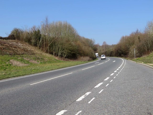
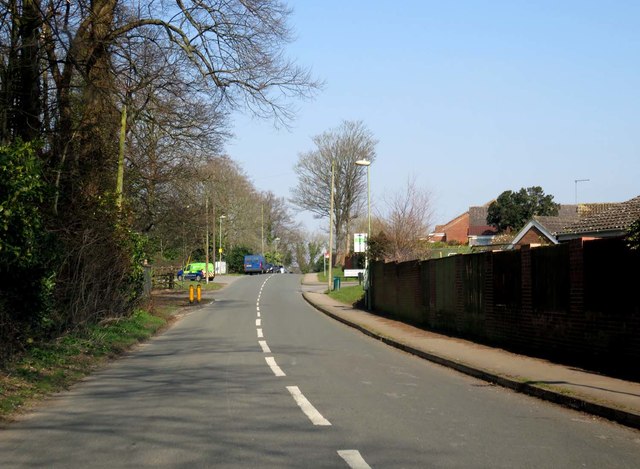
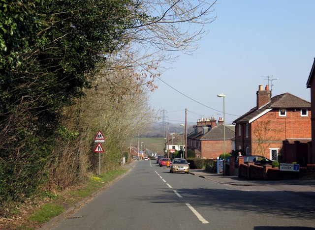
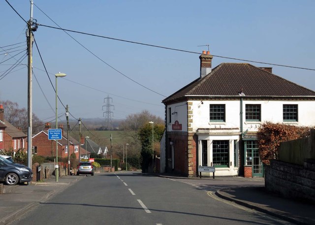
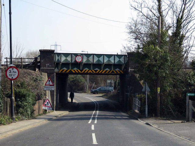
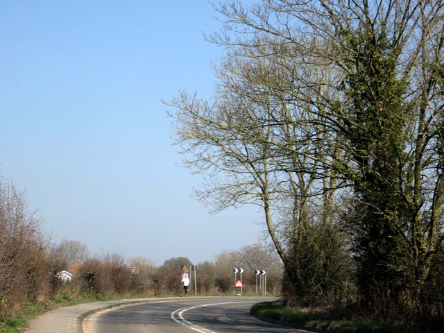
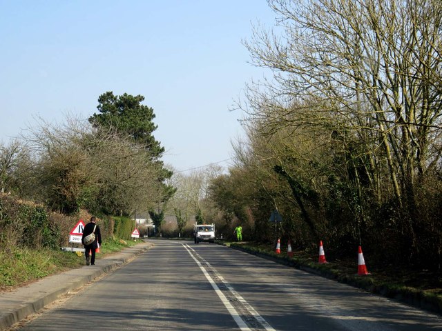
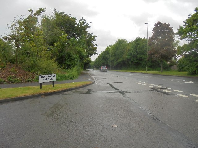
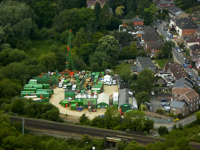
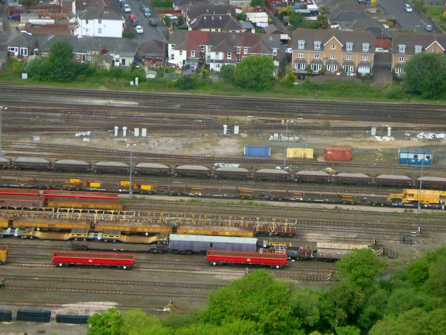
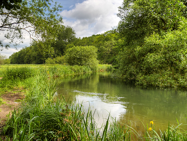
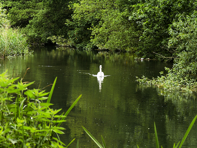
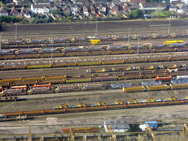
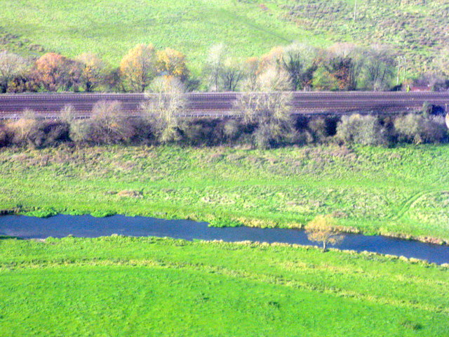
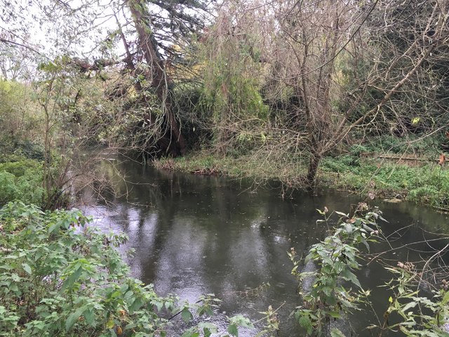
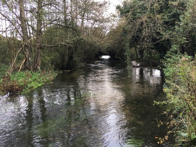
Newtown Images
Images are sourced within 2km of 50.971976/-1.3538634 or Grid Reference SU4519. Thanks to Geograph Open Source API. All images are credited.


Newtown is located at Grid Ref: SU4519 (Lat: 50.971976, Lng: -1.3538634)
Administrative County: Hampshire
District: Eastleigh
Police Authority: Hampshire
What 3 Words
///admit.able.mostly. Near Eastleigh, Hampshire
Related Wikis

The Point, Eastleigh
The Point is a theatre and dance studio for contemporary performance and contemporary dance at Eastleigh in Hampshire, England, operating under the auspices...
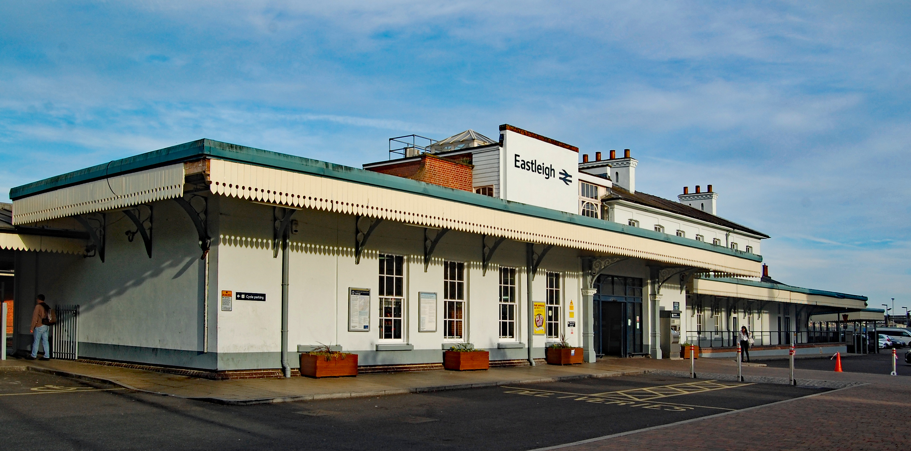
Eastleigh railway station
Eastleigh railway station serves the town of Eastleigh in the county of Hampshire in England. It is located on the South West Main Line and is the junction...

Eastleigh Museum
Eastleigh Museum was a museum situated in Eastleigh, a town in Hampshire, England, which opened in October 1986. In 2014, ownership of the Eastleigh Museum...

Eastleigh
Eastleigh is a town in Hampshire, England, between Southampton and Winchester. It is the largest town and the administrative seat of the Borough of Eastleigh...

Crestwood Community School
Crestwood Community School (known as Crestwood College prior to its name change in August 2017) is a coeducational secondary school, located in Eastleigh...
Boyatt Wood
Boyatt Wood is a small residential area and civil parish north-west of Eastleigh in Hampshire named locally after the wooded area to the south of Boyatt...
Allbrook
Allbrook is a settlement and civil parish in the Borough of Eastleigh in Hampshire, England. == Governance == Before 1974 the area formed part of the municipal...

Eastleigh College
Eastleigh College in Eastleigh, Hampshire is a further education college providing technical and professional training and apprenticeships to school leavers...
Nearby Amenities
Located within 500m of 50.971976,-1.3538634Have you been to Newtown?
Leave your review of Newtown below (or comments, questions and feedback).