New Town
Settlement in Wiltshire
England
New Town
New Town is a small village located in the county of Wiltshire, England. Situated approximately 4 miles east of the county town of Trowbridge, it is nestled in the picturesque countryside of the West Country. With a population of around 1,500 residents, it maintains a close-knit community atmosphere.
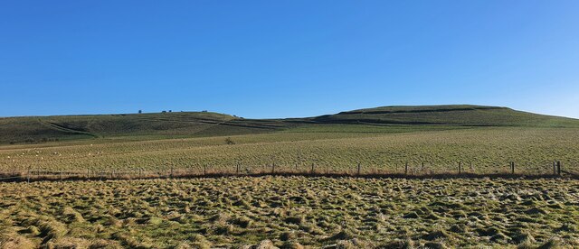
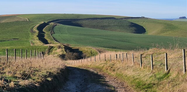
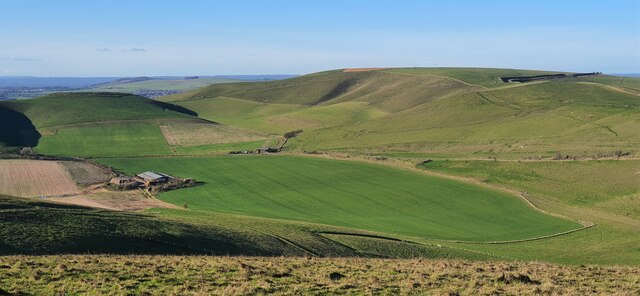
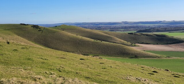
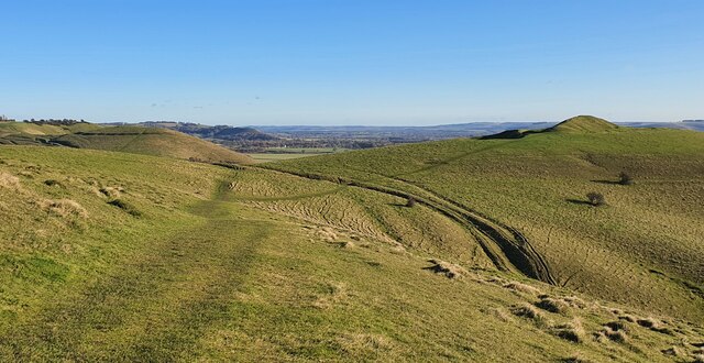
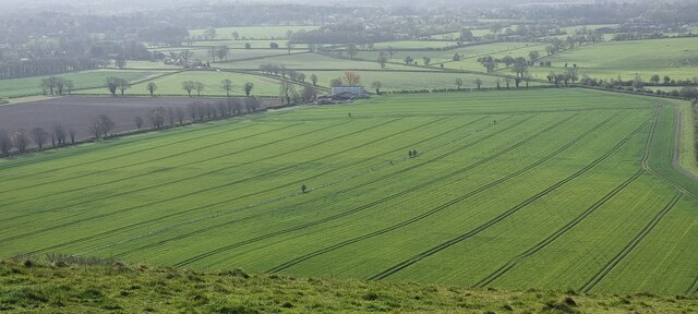
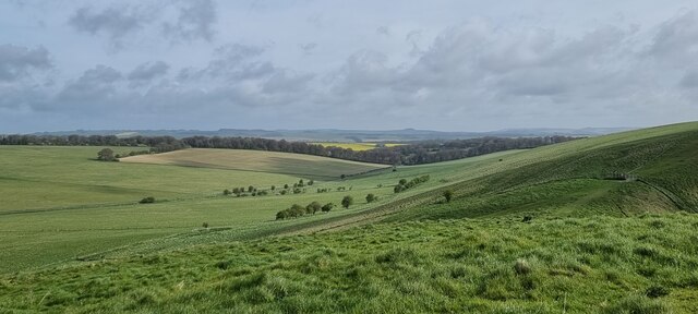
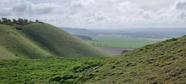
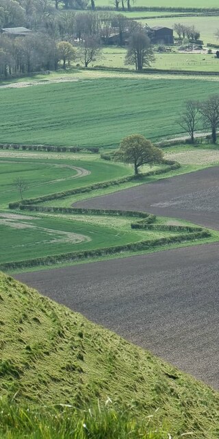
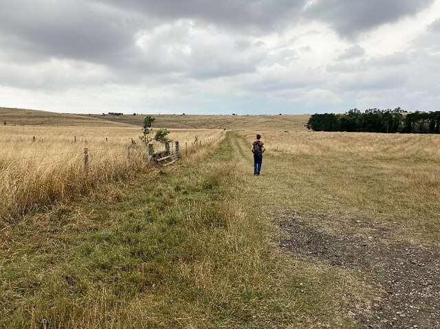
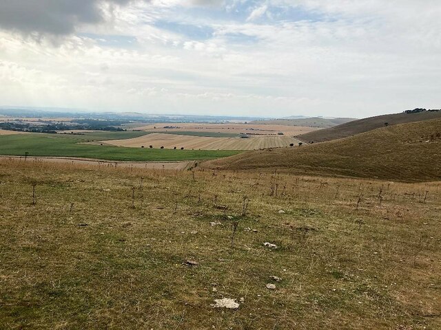
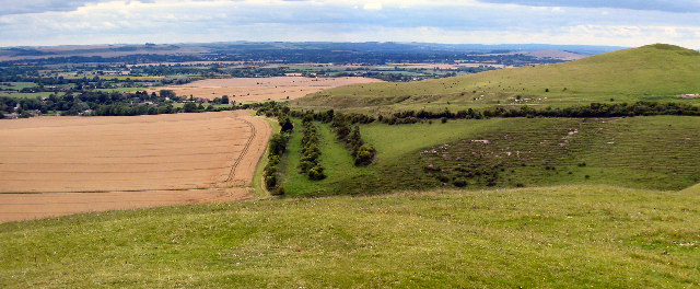
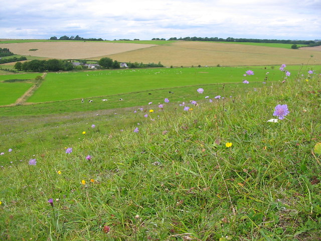
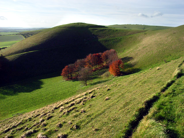
The village is known for its charming rural setting, characterized by rolling hills, meandering streams, and lush green fields. It is surrounded by several other quaint villages, such as Old Town and Upper Town, adding to its scenic appeal. New Town is also blessed with an abundance of wildlife, making it a popular destination for nature enthusiasts.
In terms of amenities, New Town offers its residents a range of local services. These include a village shop, a post office, a primary school, and a village hall. Additionally, there are several pubs and eateries that provide a cozy atmosphere for locals and visitors alike to enjoy traditional British cuisine.
The village is well-connected to neighboring towns and cities via a reliable bus service, providing easy access to larger commercial centers and recreational facilities. Furthermore, New Town benefits from its proximity to the beautiful Salisbury Plain, offering opportunities for outdoor activities such as hiking and cycling.
Overall, New Town, Wiltshire, is a picturesque village that offers a peaceful and idyllic lifestyle. Its natural beauty, strong community spirit, and convenient location make it an attractive place to reside for those seeking a tranquil and close-knit community.
If you have any feedback on the listing, please let us know in the comments section below.
New Town Images
Images are sourced within 2km of 51.375977/-1.8313374 or Grid Reference SU1164. Thanks to Geograph Open Source API. All images are credited.
New Town is located at Grid Ref: SU1164 (Lat: 51.375977, Lng: -1.8313374)
Unitary Authority: Wiltshire
Police Authority: Wiltshire
What 3 Words
///cultivation.mixes.dialect. Near Huish, Wiltshire
Nearby Locations
Related Wikis
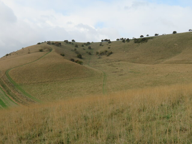
Knap Hill
Knap Hill lies on the northern rim of the Vale of Pewsey, in northern Wiltshire, England, about a mile (1.6 km) north of the village of Alton Priors....

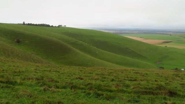
Pewsey Downs
Pewsey Downs (grid reference SU113636) is a 305.3 hectare biological Site of Special Scientific Interest on the southern edge of the Marlborough Downs...

Adam's Grave
Adam's Grave was a Neolithic long barrow near Alton Barnes in Wiltshire, southwest England. Its remains have been scheduled as an ancient monument.The...

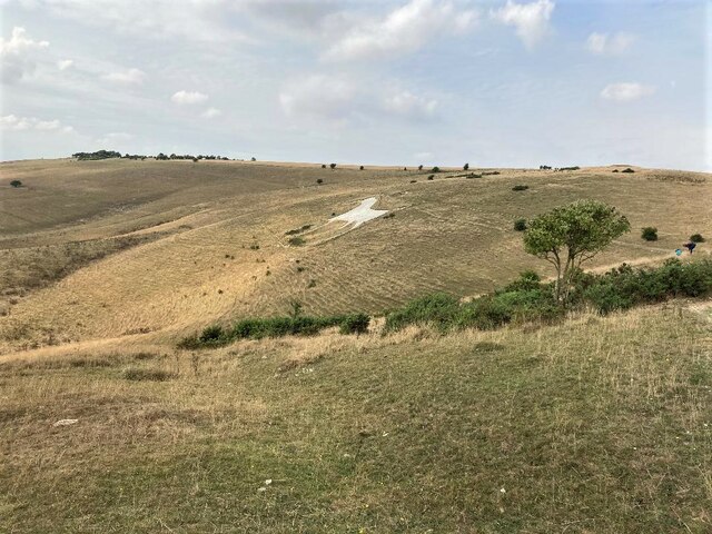
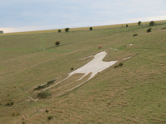
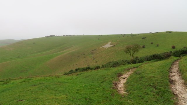
Alton Barnes White Horse
Alton Barnes White Horse is a chalk hill figure of a white horse located on Milk Hill some 1,000 metres north of the village of Alton, Wiltshire, England...
Nearby Amenities
Located within 500m of 51.375977,-1.8313374Have you been to New Town?
Leave your review of New Town below (or comments, questions and feedback).