Market Heath

Settlement in Kent Tunbridge Wells

England

Market Heath

Tong Rd
Tong Rd Credit: N Chadwick

Market Heath is a small village located in the county of Kent, in southeastern England. Situated approximately 10 miles to the east of the county town of Maidstone, it falls within the local government district of Tunbridge Wells. With a population of around 1,500 residents, Market Heath is a close-knit community known for its picturesque countryside and charming rural setting.

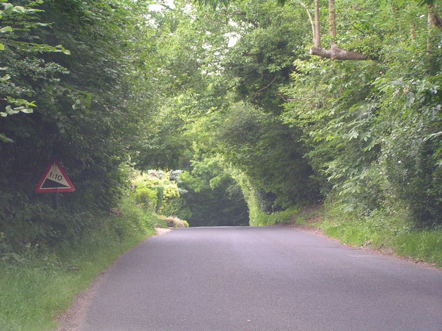
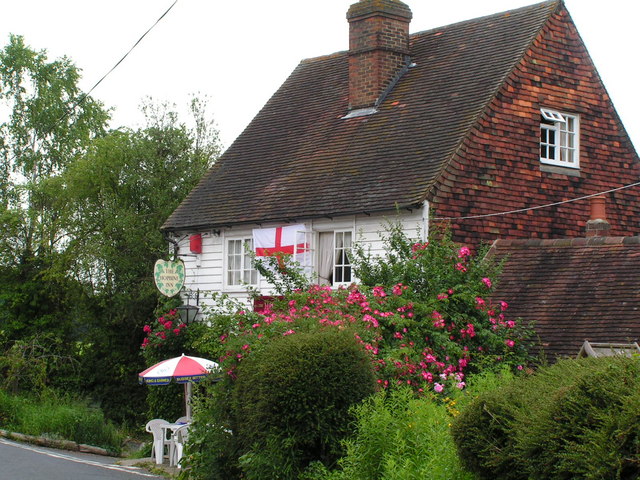
The village is surrounded by rolling hills and is characterized by its traditional English architecture, with many timber-framed houses and thatched cottages adorning its streets. The centerpiece of Market Heath is its historic market square, which dates back to the medieval period and continues to serve as a focal point for the community. The square hosts a regular farmers' market where locals and visitors can purchase fresh produce and artisanal goods.

Despite its small size, Market Heath offers a range of amenities to its residents, including a primary school, a village hall, and a selection of local shops and pubs. The village is also known for its active community organizations, with various clubs and societies catering to a wide range of interests.

For outdoor enthusiasts, Market Heath boasts ample opportunities for exploration and recreation. The surrounding countryside offers numerous walking and cycling routes, allowing residents to enjoy the natural beauty of the area. Additionally, the village is in close proximity to several nature reserves and country parks, providing further options for outdoor pursuits.

Overall, Market Heath is a charming and idyllic village that offers a peaceful and rural lifestyle, while still providing easy access to the larger towns and cities of Kent.

If you have any feedback on the listing, please let us know in the comments section below.
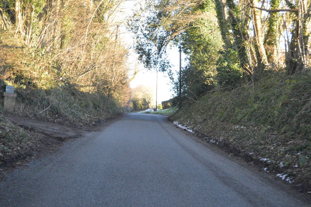
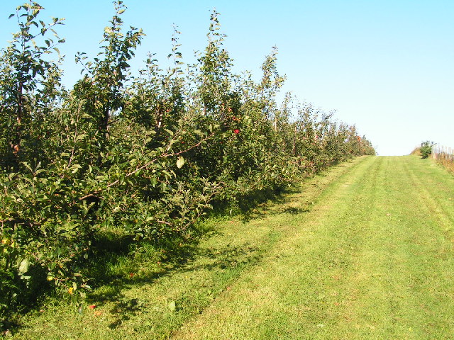
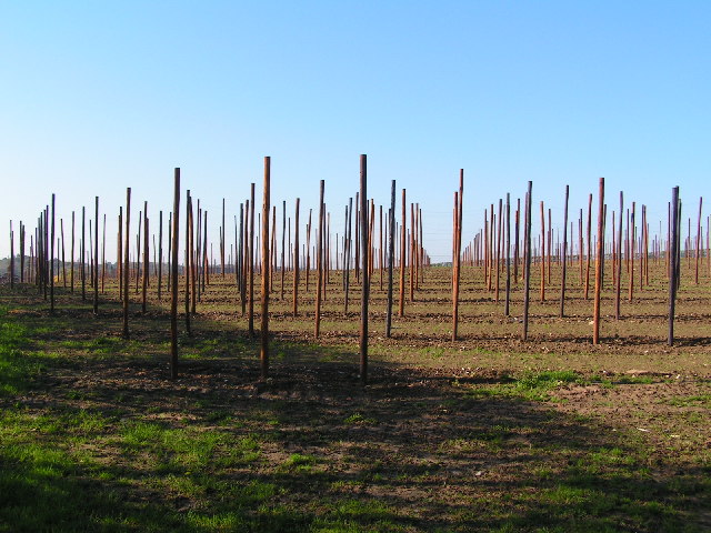
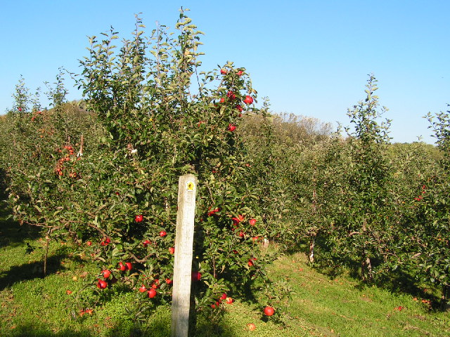
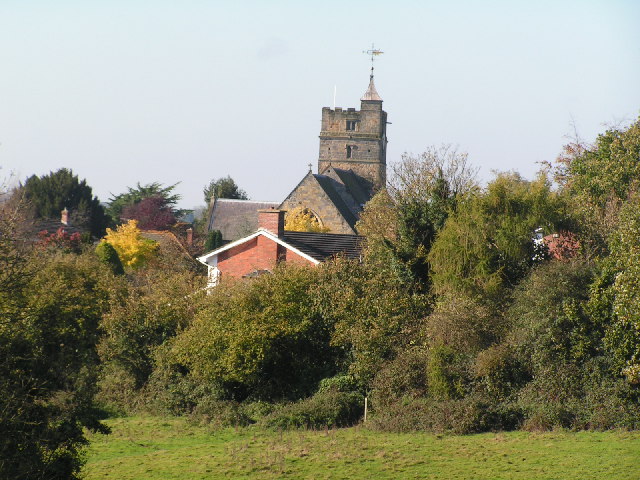
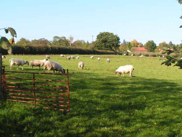
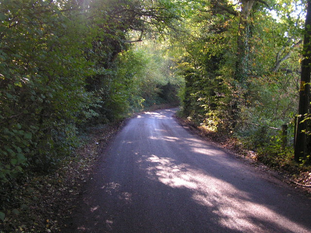
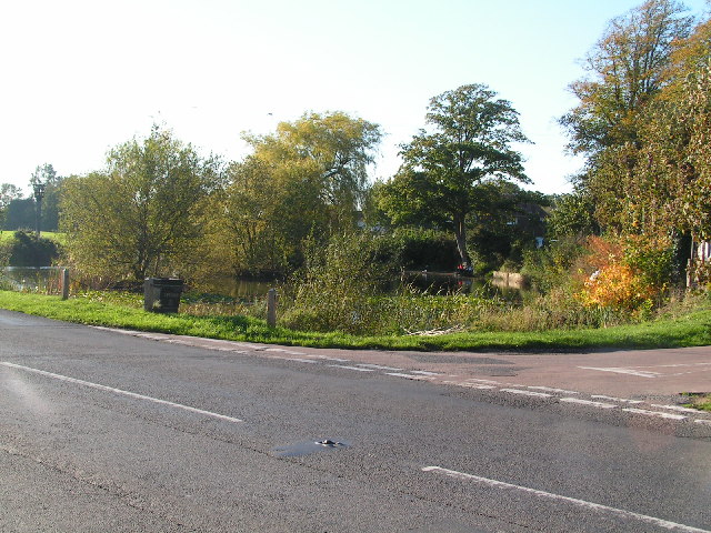
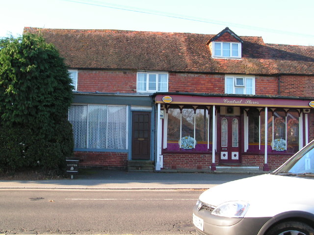
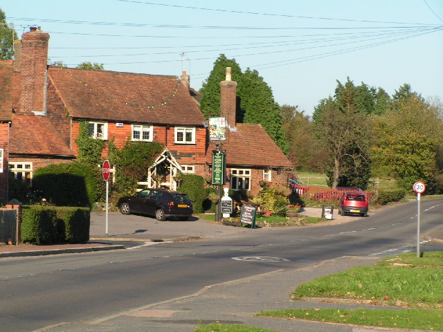
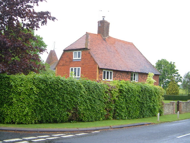
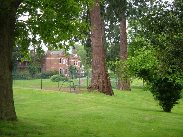
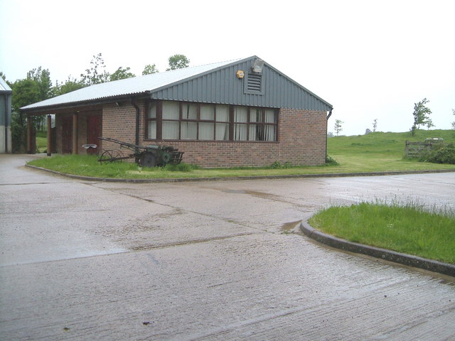
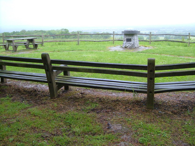
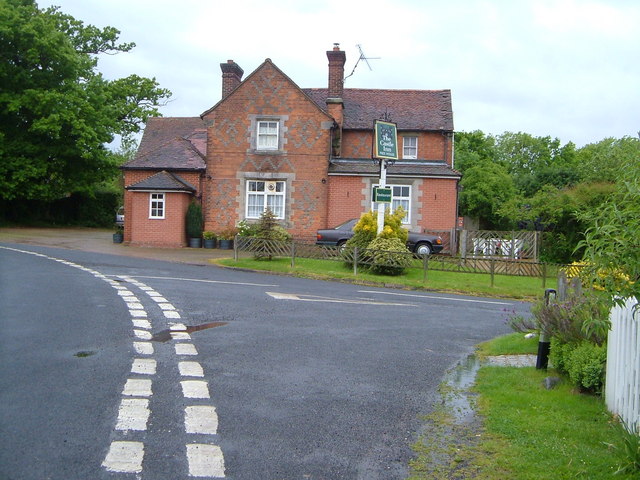
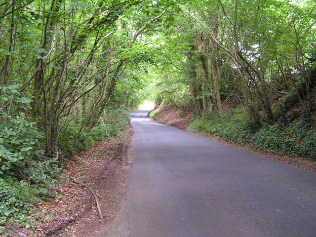
Market Heath Images

Images are sourced within 2km of 51.151511/0.39156354 or Grid Reference TQ6741. Thanks to Geograph Open Source API. All images are credited.

Tong Rd
Tong Rd
Apple Orchard, near Horsmonden
Hop Field, near Horsmonden
Apple Orchard
Apple Orchard
Brenchley Village
Brenchley Village
Narrow country lane
Narrow country lane
Matfield Village Pond Matfield is a small village, part of the  parish of Brenchley and Matfield, in the Tunbridge Wells borough of Kent. The village has the largest village green in Kent, with a large pond. It has three pubs, a village store and butchers. The church, St Luke's, is about 1km south of the village centre.
Matfield Village Pond
Matfield is a small village, part of the parish of Brenchley and Matfield, in the Tunbridge Wells borough of Kent. The village has the largest village green in Kent, with a large pond. It has three pubs, a village store and butchers. The church, St Luke's, is about 1km south of the village centre.
Matfield Village
Matfield Village
The George, Matfield
Mile Oak Farm At the junction of Mile Oak Road and Mascall's Court Lane not far from Paddock Wood.
Mile Oak Farm
At the junction of Mile Oak Road and Mascall's Court Lane not far from Paddock Wood.
Moatlands Manor House Now the clubhouse for the Kent National Golf & Country Club, the nineteenth century house was once home to the Lord Mayor of London. A correspondent tells me that she was born here in 1945; during the war it was used as a maternity home for Guys, Lewisham and Plumsted hospitals. Seen from Waterman's Lane.
Moatlands Manor House
Now the clubhouse for the Kent National Golf & Country Club, the nineteenth century house was once home to the Lord Mayor of London. A correspondent tells me that she was born here in 1945; during the war it was used as a maternity home for Guys, Lewisham and Plumsted hospitals. Seen from Waterman's Lane.
Kent National Maintenance Compound Buildings at the top of the Kent National golf course, beside Waterman's Lane.
Kent National Maintenance Compound
Buildings at the top of the Kent National golf course, beside Waterman's Lane.
Viewpoint, Brenchley As if waiting for better weather, benches face the viewing table commemorating the Millennium near Hill Top, on the north side of Brenchley. The view would be of the Medway valley around Paddock Wood.
Viewpoint, Brenchley
As if waiting for better weather, benches face the viewing table commemorating the Millennium near Hill Top, on the north side of Brenchley. The view would be of the Medway valley around Paddock Wood.
The Castle Inn, Castle Hill. There is patterned brickwork on this hilltop pub near Brenchley.
The Castle Inn, Castle Hill.
There is patterned brickwork on this hilltop pub near Brenchley.
Wooded Kentish byway near Matfield. A very typical scene on the roads around West Kent.
Wooded Kentish byway near Matfield.
A very typical scene on the roads around West Kent.
Wooded road, near Matfield.
The Hopbine Inn, Petteridge A superb, small roadside inn.
The Hopbine Inn, Petteridge
A superb, small roadside inn.
Show me another place!

Market Heath is located at Grid Ref: TQ6741 (Lat: 51.151511, Lng: 0.39156354)

Administrative County: Kent

District: Tunbridge Wells

Police Authority: Kent

What 3 Words

///twee.bill.august. Near Brenchley, Kent

Related Wikis

Brenchley

Brenchley is a village in the civil parish of Brenchley and Matfield, in the borough of Tunbridge Wells, Kent, England. All Saints Church is located in...

All Saints Church, Brenchley

All Saints Church is a parish church in Brenchley, Kent, England. It is a Grade I listed building.It is dedicated to All Saints. == Building == A Chapel...

Matfield House

Matfield House is a Grade I listed Georgian house in the village of Matfield, Kent, England.The house was built in 1728 in the Queen Anne style for Thomas...

Matfield

Matfield is a small village, part of the civil parish of Brenchley and Matfield, in the Tunbridge Wells borough of Kent, England. Matfield was awarded...

Mascalls Academy

Mascalls Academy (formerly Mascalls School) is a co-educational secondary school and a sixth form with academy status located in Paddock Wood, Kent....

St Luke's Church, Matfield

St Luke's Church is a parish church in the village of Matfield, Kent, England. It is a Grade II listed building.The church is dedicated to Luke the Evangelist...

Brenchley Wood

Brenchley Wood is a 15-hectare (37-acre) nature reserve south of Paddock Wood in Kent. It is managed by the Kent Wildlife Trust, and it is part of the...

Foal Hurst Wood

Foal Hurst Wood is a 12.9-hectare (32-acre) Local Nature Reserve on the south-western outskirts of Paddock Wood in Kent. It is owned by Tunbridge Wells...

Nearby Amenities

Located within 500m of 51.151511,0.39156354
Bus Stop
School
Fixme: Can someone confirm whether or not busses stop here?
Flag: no
Naptan AtcoCode: 2400A037750A
Naptan Bearing: E
Naptan BusStopType: CUS
Naptan CommonName: School
Naptan Indicator: adj
Naptan Landmark: School
Naptan NaptanCode: kntdpawt
Naptan Street: Brenchley Road
Naptan Verified: no
Note: Dear MapRoulette users, The NAPTAN data says the name for this object is actually "School" - please don't remove the name as generic.
Public Transport: platform
Ref: kntdpawt
Source: naptan_import
Source Date: 2018-08-20T15:26:00
Lat/Long: 51.151587/0.3919107
Bus Stop
School
Naptan AtcoCode: 2400A037790A
Naptan Bearing: W
Naptan CommonName: School
Naptan Indicator: opp
Naptan Landmark: School
Naptan NaptanCode: kntdpdam
Naptan Street: High Street
Naptan Verified: no
Note: Dear MapRoulette users, The NAPTAN data says the name for this object is actually "School" - please don't remove the name as generic.
Public Transport: platform
Ref: kntdpdam
Source: naptan_import
Source Date: 2018-08-20T15:24:00
Lat/Long: 51.1514701/0.3923479
Bus Stop
Petteridge Lane
Naptan AtcoCode: 2400A037800A
Naptan Bearing: W
Naptan CommonName: Petteridge Lane
Naptan Indicator: adj
Naptan Landmark: Petteridge Lane
Naptan NaptanCode: kntdpdap
Naptan Street: Brenchley Road
Naptan Verified: no
Public Transport: platform
Ref: kntdpdap
Source: naptan_import
Source Date: 2018-08-20T15:27:00
Lat/Long: 51.1508036/0.3884382
Pub
Brenchley Sports Bar
Lat/Long: 51.1516048/0.3941201
Addr City: Brenchley
Addr Postcode: TN12 7BF
Addr Street: Market Heath Close
Building: residential
Lat/Long: 51.1506605/0.3894809
Historic: memorial
Material: stone
Lat/Long: 51.1516443/0.3976188
Bench
Backrest: yes
Lat/Long: 51.1516927/0.397664
Post Box
Collection Times: Mo-Fr 09:00; Sa 07:00
Post Box Type: wall
Ref: TN12 104D
Royal Cypher: GR
Royal Cypher Wikidata: Q33102273
Lat/Long: 51.1507489/0.3869778
Turning Circle
Lat/Long: 51.1498135/0.3884046
Bus Stop
Petteridge Lane
Fixme: Can someone confirm whether or not busses stop here?
Flag: no
Naptan AtcoCode: 2400104968
Naptan Bearing: E
Naptan BusStopType: CUS
Naptan CommonName: Petteridge Lane
Naptan Indicator: opp
Naptan Landmark: Petteridge Lane
Naptan NaptanCode: kntjptdj
Naptan Street: Brenchley Road
Naptan Verified: no
Public Transport: platform
Ref: kntjptdj
Source: NAPTAN
Source Date: 2012-01-31T10:52:00
Lat/Long: 51.1509291/0.388459
The data included in this document is from www.openstreetmap.org. The data is made available under ODbL.

Have you been to Market Heath?

Leave your review of Market Heath below (or comments, questions and feedback).