Maidenbrook

Settlement in Somerset Somerset West and Taunton

England

Maidenbrook

Autumn colour reflected in Bridgwater and Taunton Canal The Bridgwater and Taunton Canal is a canal between Bridgwater and Taunton, opened in 1827 and linking the River Tone to the River Parrett. 
Despite commercial traffic ceasing in 1907, the infrastructure was maintained in good order, and the canal was used for the transport of water from 1962. Somerset County Council  have restored the canal as a leisure facility, this was completed in 1994, when the canal was reopened throughout. Bridgwater Docks have been restored as a marina, but there is no navigable connection to the River Parrett, as the canal still transports drinking water for the people of Bridgwater.
Autumn colour reflected in Bridgwater and Taunton Canal Credit: David Smith

Maidenbrook is a picturesque village located in the county of Somerset, England. Situated on the southern slopes of the Quantock Hills, it enjoys stunning views of the surrounding countryside. The village is nestled within a tranquil valley, surrounded by lush green fields and woodlands, adding to its idyllic charm.

With a population of around 500 residents, Maidenbrook maintains a close-knit community atmosphere. The village is known for its friendly and welcoming residents, who take pride in their local heritage. The architecture of the village is predominantly traditional, with charming thatched cottages and well-preserved historical buildings adding to its character.

Maidenbrook offers a range of amenities to its residents and visitors. The village boasts a quaint village shop, providing daily necessities and local produce. Additionally, there is a cozy pub, The Oak Tree Inn, which serves delicious traditional British food and offers a warm atmosphere for locals and tourists alike.

Nature enthusiasts will be delighted by the natural beauty and recreational opportunities in and around Maidenbrook. The Quantock Hills, designated an Area of Outstanding Natural Beauty, are perfect for hiking, cycling, and horseback riding, with numerous trails and paths winding through the rolling landscapes. The nearby Willsbrook Nature Reserve is home to a diverse range of flora and fauna, making it a popular spot for birdwatching and wildlife observation.

Overall, Maidenbrook, Somerset is a charming village that effortlessly blends natural beauty, historical charm, and a tight-knit community. Its picturesque setting and abundance of recreational opportunities make it an ideal destination for those seeking a peaceful and scenic retreat.

If you have any feedback on the listing, please let us know in the comments section below.
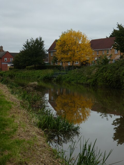
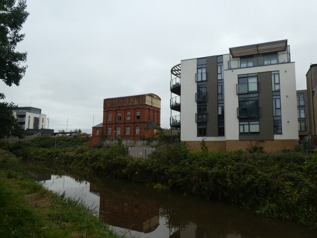
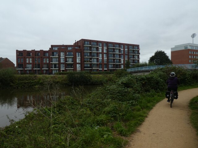
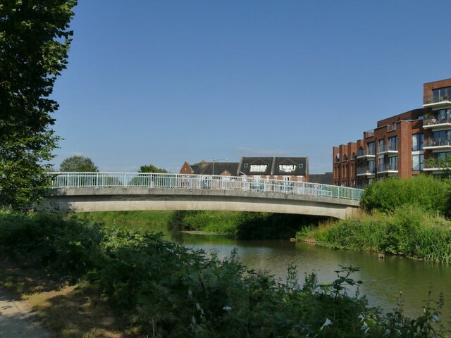
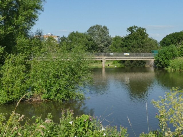
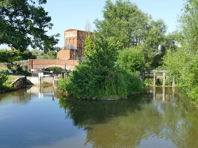
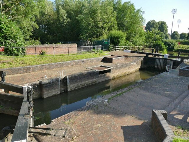
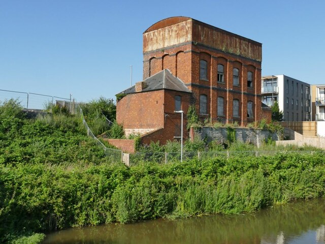
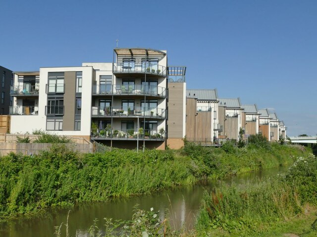
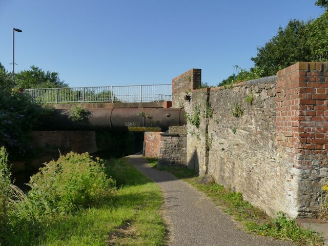
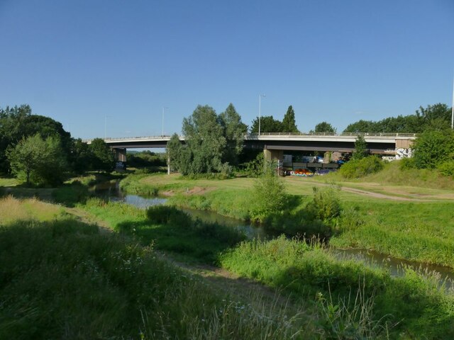
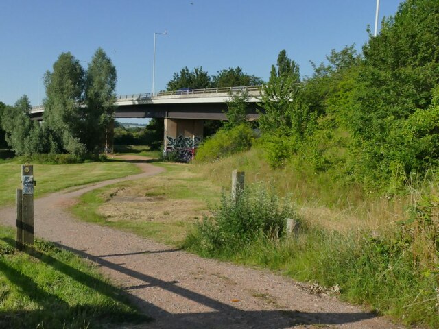
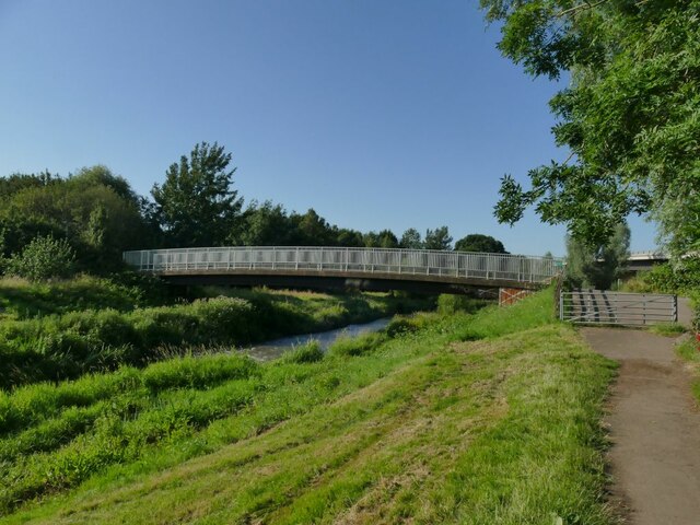
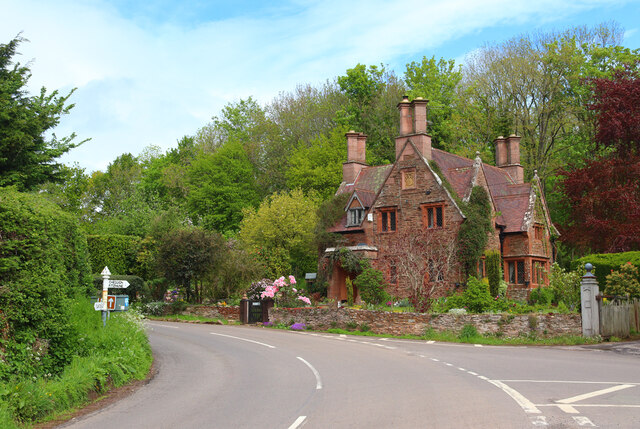
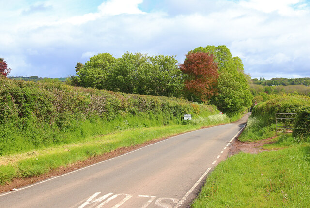
Maidenbrook Images

Images are sourced within 2km of 51.031323/-3.0756223 or Grid Reference ST2426. Thanks to Geograph Open Source API. All images are credited.

Autumn colour reflected in Bridgwater and Taunton Canal The Bridgwater and Taunton Canal is a canal between Bridgwater and Taunton, opened in 1827 and linking the River Tone to the River Parrett. 
Despite commercial traffic ceasing in 1907, the infrastructure was maintained in good order, and the canal was used for the transport of water from 1962. Somerset County Council  have restored the canal as a leisure facility, this was completed in 1994, when the canal was reopened throughout. Bridgwater Docks have been restored as a marina, but there is no navigable connection to the River Parrett, as the canal still transports drinking water for the people of Bridgwater.
Autumn colour reflected in Bridgwater and Taunton Canal
The Bridgwater and Taunton Canal is a canal between Bridgwater and Taunton, opened in 1827 and linking the River Tone to the River Parrett. Despite commercial traffic ceasing in 1907, the infrastructure was maintained in good order, and the canal was used for the transport of water from 1962. Somerset County Council have restored the canal as a leisure facility, this was completed in 1994, when the canal was reopened throughout. Bridgwater Docks have been restored as a marina, but there is no navigable connection to the River Parrett, as the canal still transports drinking water for the people of Bridgwater.
Flats overlooking Bridgwater and Taunton Canal The tower on the left is shown in <a href="https://www.geograph.org.uk/photo/441638">ST2325 : Tower at Firepool</a> before the flats were built
Flats overlooking Bridgwater and Taunton Canal
The tower on the left is shown in ST2325 : Tower at Firepool before the flats were built
Bridgwater and Taunton Canal at Firepool The cyclist on the towpath is using NCN3
Bridgwater and Taunton Canal at Firepool
The cyclist on the towpath is using NCN3
Footbridge over the River Tone at Firepool See also <a href="https://www.geograph.org.uk/photo/1306892">ST2325 : Cycle path next to river in Taunton, looking away from town centre</a>. This bridge seems to replace one at the weir, just downstream, that is now closed <a href="https://www.geograph.org.uk/photo/7066626">ST2325 : Firepool Weir on the river Tone</a>.
Footbridge over the River Tone at Firepool
See also ST2325 : Cycle path next to river in Taunton, looking away from town centre. This bridge seems to replace one at the weir, just downstream, that is now closed ST2325 : Firepool Weir on the river Tone.
Firepool Weir on the river Tone Firepool Weir feeds water into the Bridgwater and Taunton Canal.  This view is of the longer of two sections of the weir.  The older, shorter section is out of sight to the left; originally there was also a mill leat to the south (right) leading to mills at Obridge, but both leat and mills have been swallowed up by the Obridge roundabout on the A38, and this longer section of weir allows the majority of the flow to continue down the river.
Firepool Weir on the river Tone
Firepool Weir feeds water into the Bridgwater and Taunton Canal. This view is of the longer of two sections of the weir. The older, shorter section is out of sight to the left; originally there was also a mill leat to the south (right) leading to mills at Obridge, but both leat and mills have been swallowed up by the Obridge roundabout on the A38, and this longer section of weir allows the majority of the flow to continue down the river.
Firepool Weir and canal lock on the river Tone Firepool Lock (left) feeds water into the Bridgwater and Taunton Canal.  To the right is a sluice on the older, shorter section of the weir; a more recent, longer section of weir allows the majority of the flow to continue down the river <a href="https://www.geograph.org.uk/photo/7066626">ST2325 : Firepool Weir on the river Tone</a>.
Firepool Weir and canal lock on the river Tone
Firepool Lock (left) feeds water into the Bridgwater and Taunton Canal. To the right is a sluice on the older, shorter section of the weir; a more recent, longer section of weir allows the majority of the flow to continue down the river ST2325 : Firepool Weir on the river Tone.
Firepool Lock Firepool Lock feeds water into the Bridgwater and Taunton Canal.
Firepool Lock
Firepool Lock feeds water into the Bridgwater and Taunton Canal.
Former Firepool Pumping Station and lime kilns This complex of industrial buildings, disused since the 1960s, is listed grade II (list entry 1372427).  The listing explains that it consists of two limekilns of the early 1840s built on a canal wharf, surmounted by an engine house containing engines, pumps and a water tank; this was erected c.1866 and subsequently remodelled in 1889 as a pumping station. Another contributor explains that (at least until a few years ago) machinery remained in the building <a href="https://www.geograph.org.uk/photo/4113931">ST2325 : Firepool Lock and pumping Station</a>. At the nearer end if the now roofless 'cartbay'.

The water was pumped from a canal-fed reservoir to the east of the building (now overgrown or infilled) and served the Bristol and Exeter Railway's station and goods yard. It's easy to forget these days that steam engines were thirsty machines: Great Western Railway tenders held between 1800 and 4000 gallons (roughly 8000-18,000 litres) of water besides several tons of coal, and no doubt many had to be refilled each day at a busy station. 

The end and side of the building sport a 'ghost sign' which I think reads 'VAN HEUSEN', this being the name of a former clothes factory in Taunton <a href="https://www.geograph.org.uk/photo/1301519">ST2324 : Factory chimney - Princes Street</a>. The company still sells its shirts online, though probably manufactured abroad.
Former Firepool Pumping Station and lime kilns
This complex of industrial buildings, disused since the 1960s, is listed grade II (list entry 1372427). The listing explains that it consists of two limekilns of the early 1840s built on a canal wharf, surmounted by an engine house containing engines, pumps and a water tank; this was erected c.1866 and subsequently remodelled in 1889 as a pumping station. Another contributor explains that (at least until a few years ago) machinery remained in the building ST2325 : Firepool Lock and pumping Station. At the nearer end if the now roofless 'cartbay'. The water was pumped from a canal-fed reservoir to the east of the building (now overgrown or infilled) and served the Bristol and Exeter Railway's station and goods yard. It's easy to forget these days that steam engines were thirsty machines: Great Western Railway tenders held between 1800 and 4000 gallons (roughly 8000-18,000 litres) of water besides several tons of coal, and no doubt many had to be refilled each day at a busy station. The end and side of the building sport a 'ghost sign' which I think reads 'VAN HEUSEN', this being the name of a former clothes factory in Taunton ST2324 : Factory chimney - Princes Street. The company still sells its shirts online, though probably manufactured abroad.
Firepool View housing estate from the canal A modern development on the site of old railway sidings.
Firepool View housing estate from the canal
A modern development on the site of old railway sidings.
Underneath Trenchard Way bridge The bridge carries the A3087 Taunton inner relief road over the canal and river Tone. The road was completed in 2017 and is named after Hugh Trenchard, founder of the RAF at the end of World War I, who came from Taunton. So a good name for a 'flyover'. See <a href="https://www.geograph.org.uk/photo/5477064">ST2325 : New (in 2017) bridge over Bridgwater and Taunton Canal</a> for a side view.
Underneath Trenchard Way bridge
The bridge carries the A3087 Taunton inner relief road over the canal and river Tone. The road was completed in 2017 and is named after Hugh Trenchard, founder of the RAF at the end of World War I, who came from Taunton. So a good name for a 'flyover'. See ST2325 : New (in 2017) bridge over Bridgwater and Taunton Canal for a side view.
Winckworth Way bridge The bridge carries Winckworth Way (which is pedestrianised south of this point) over the canal. There is a sewer pipe (helpfully named as such on old large-scale maps) that led to the town sewage works on the site of what is now the Priory Way industrial estate. The present sewage works is 5km further downriver at <a href="https://www.geograph.org.uk/gridref/ST2824">ST2824</a>.
Winckworth Way bridge
The bridge carries Winckworth Way (which is pedestrianised south of this point) over the canal. There is a sewer pipe (helpfully named as such on old large-scale maps) that led to the town sewage works on the site of what is now the Priory Way industrial estate. The present sewage works is 5km further downriver at ST2824.
Railway bridges over Winckworth Way There are two bridges here.  The nearer one is disused but formerly carried tracks into the Taunton station goods yard (now a housing estate).  It bears a height limit of 7'0" which surely refers to the springing of the arch rather than its highest point, but what is unusual is that the height limit is painted over a 'children playing' sign.

The further bridge still carries the four tracks of the Great Western main line.
Railway bridges over Winckworth Way
There are two bridges here. The nearer one is disused but formerly carried tracks into the Taunton station goods yard (now a housing estate). It bears a height limit of 7'0" which surely refers to the springing of the arch rather than its highest point, but what is unusual is that the height limit is painted over a 'children playing' sign. The further bridge still carries the four tracks of the Great Western main line.
Modal filter on Winckworth Way 'Modal filter' is the fashionable technical term for a road narrowing or other means of restricting traffic to bicycles, motorbikes and anything else smaller than a 4-wheeled vehicle. The purpose of this one appears to be to stop motor traffic from the other direction getting to the narrow canal bridge at the end of the road <a href="https://www.geograph.org.uk/photo/5477048">ST2325 : Pipe and footbridge over Bridgwater and Taunton Canal</a>.
Modal filter on Winckworth Way
'Modal filter' is the fashionable technical term for a road narrowing or other means of restricting traffic to bicycles, motorbikes and anything else smaller than a 4-wheeled vehicle. The purpose of this one appears to be to stop motor traffic from the other direction getting to the narrow canal bridge at the end of the road ST2325 : Pipe and footbridge over Bridgwater and Taunton Canal.
A358 Obridge Viaduct over the river Tone The viaduct is named after a former farm nearby. From other online sources, it was built in the 1990s, designed and constructed by Reed & Mallik Ltd and Fairfield Mabey Ltd, with eight steel spans on 900mm diameter piles and a total length of 303 metres. See also <a href="https://www.geograph.org.uk/photo/5793693">ST2325 : Obridge road bridge</a>.
A358 Obridge Viaduct over the river Tone
The viaduct is named after a former farm nearby. From other online sources, it was built in the 1990s, designed and constructed by Reed & Mallik Ltd and Fairfield Mabey Ltd, with eight steel spans on 900mm diameter piles and a total length of 303 metres. See also ST2325 : Obridge road bridge.
Footpath under Obridge Viaduct The viaduct is named after a former farm nearby. From other online sources, it was built in the 1990s, designed and constructed by Reed & Mallik Ltd and Fairfield Mabey Ltd, with eight steel spans on 900mm diameter piles and a total length of 303 metres. See also <a href="https://www.geograph.org.uk/photo/5793693">ST2325 : Obridge road bridge</a>.
Footpath under Obridge Viaduct
The viaduct is named after a former farm nearby. From other online sources, it was built in the 1990s, designed and constructed by Reed & Mallik Ltd and Fairfield Mabey Ltd, with eight steel spans on 900mm diameter piles and a total length of 303 metres. See also ST2325 : Obridge road bridge.
Footbridge over the river Tone at Obridge The path across this footbridge is a continuation of Winckworth Way, although the course of the river and therefore the path has been realigned in recent decades.
Footbridge over the river Tone at Obridge
The path across this footbridge is a continuation of Winckworth Way, although the course of the river and therefore the path has been realigned in recent decades.
South Lodge Turning for Cheddon Fitzpaine.
South Lodge
Turning for Cheddon Fitzpaine.
Near Cheddon Fitzpaine Road leading towards Cheddon Fitzpaine.
Near Cheddon Fitzpaine
Road leading towards Cheddon Fitzpaine.
Show me another place!

Maidenbrook is located at Grid Ref: ST2426 (Lat: 51.031323, Lng: -3.0756223)

Administrative County: Somerset

District: Somerset West and Taunton

Police Authority: Avon and Somerset

What 3 Words

///marine.mouth.imperious. Near Creech St Michael, Somerset

Nearby Locations

Maidenbrook

Related Wikis

Roman Catholic Church of St Teresa of Lisieux, Taunton

The Roman Catholic Church of St Teresa of Lisieux in Taunton, Somerset, England, dates from 1958–1959. It is the only known church design of Eric Francis...

Heathfield Community School

Monkton Wood Academy is an Academy (England and Wales) located at West Monkton in the outskirts of Taunton, England. It had 1,192 pupils aged 11 to 18...

Church of St Mary, Cheddon Fitzpaine

The Anglican Church of St Mary in Cheddon Fitzpaine, Somerset, England was built in the late 13th century. It is a Grade II* listed building. == History... ==

The St Augustine of Canterbury School, Taunton

The St Augustine of Canterbury School was a joint Church of England and Roman Catholic Voluntary Aided (VA) secondary school in Taunton, Somerset, England...

Nearby Amenities

Located within 500m of 51.031323,-3.0756223
Traffic Calming: choker
Lat/Long: 51.0306958/-3.0767048
Barrier: bollard
Bicycle: yes
Bollard: removable
Foot: yes
Lat/Long: 51.0300114/-3.0777215
Barrier: bollard
Bicycle: yes
Bollard: removable
Foot: yes
Material: plastic
Lat/Long: 51.0304943/-3.0693118
Noexit: yes
Lat/Long: 51.0298541/-3.0757441
Crossing
Bicycle: dismount
Crossing: uncontrolled
Kerb: lowered
Tactile Paving: both
Lat/Long: 51.0322836/-3.082262
Crossing
Crossing: unmarked
Lat/Long: 51.0313049/-3.0773551
Location Transition: yes
Power: pole
Lat/Long: 51.0295823/-3.072349
Brand: National Grid
Brand Wikidata: Q1465461
Colour: gray
Line Attachment: suspension
Material: steel
Operator: National Grid Electricity Distribution Plc
Operator Old: Western Power Distribution
Operator Wikidata: Q7988183
Owner: National Grid Electricity Distribution (South West) Plc
Owner Wikidata: Q114397866
Power: tower
Ref: ZDT17
Structure: lattice
Lat/Long: 51.0300887/-3.0715802
Crossing
Bicycle: yes
Crossing: unmarked
Tactile Paving: yes
Lat/Long: 51.0306461/-3.0813981
Crossing
Bicycle: yes
Button Operated: yes
Crossing: traffic_signals
Crossing Ref: pelican
Tactile Paving: yes
Lat/Long: 51.0311603/-3.0802892
Crossing
Bicycle: yes
Crossing: unmarked
Tactile Paving: yes
Lat/Long: 51.0305623/-3.0812956
Crossing
Bicycle: yes
Crossing: unmarked
Tactile Paving: yes
Lat/Long: 51.0304729/-3.0808068
Barrier: cycle_barrier
Bicycle: yes
Foot: yes
Lat/Long: 51.0315043/-3.0755264
Crossing
Bicycle: yes
Crossing: unmarked
Lat/Long: 51.0307857/-3.0803447
Crossing
Bicycle: yes
Crossing: unmarked
Lat/Long: 51.0307027/-3.0803876
Access: yes
Entrance: main
Wheelchair: limited
Lat/Long: 51.030252/-3.0797555
Barrier: lift_gate
Bicycle: no
Foot: yes
Lat/Long: 51.0300876/-3.0808504
Somerset Space Walk - Neptune
Tourism: artwork
Lat/Long: 51.0296134/-3.077903
Barrier: stile
Foot: yes
Lat/Long: 51.0285299/-3.0792104
Crossing
Bicycle: yes
Crossing: unmarked
Tactile Paving: yes
Lat/Long: 51.0304957/-3.0806529
Barrier: cycle_barrier
Bicycle: yes
Foot: yes
Lat/Long: 51.0308176/-3.0819562
Power: pole
Lat/Long: 51.0300384/-3.0693927
Power: pole
Ref: BA52
Lat/Long: 51.0301583/-3.0691967
Power: pole
Ref: BA51
Lat/Long: 51.0303904/-3.0687482
Give Way
Lat/Long: 51.0287167/-3.0801951
Crossing
Bicycle: yes
Button Operated: yes
Crossing: traffic_signals
Crossing Ref: pelican
Tactile Paving: yes
Lat/Long: 51.0311874/-3.0803341
Give Way
Lat/Long: 51.0323294/-3.0787083
Leisure: slipway
Lat/Long: 51.030374/-3.0704101
Access: yes
Entrance: main
Wheelchair: yes
Lat/Long: 51.0302527/-3.0800135
Post Box
Brand: Royal Mail
Brand Wikidata: Q638098
Collection Times: Mo-Fr 16:15; Sa 12:15
Operator: Royal Mail
Operator Wikidata: Q638098
Ref: TA2 791
Lat/Long: 51.030456/-3.0788524
Post Box
Operator: Royal Mail
Operator Wikidata: Q638098
Ref: TA2 792
Lat/Long: 51.0322808/-3.0825254
Barrier: kissing_gate
Lat/Long: 51.0341609/-3.0707766
Give Way
Lat/Long: 51.0328638/-3.0754249
Give Way
Lat/Long: 51.0328946/-3.0757274
Access: private
Entrance: yes
Lat/Long: 51.0333881/-3.069432
Give Way
Direction: backward
Lat/Long: 51.0343018/-3.0787877
Noexit: yes
Lat/Long: 51.034884/-3.0787977
Give Way
Direction: backward
Lat/Long: 51.0323163/-3.0821641
Access: yes
Entrance: main
Wheelchair: yes
Lat/Long: 51.0302359/-3.0800902
Camera Mount: pole
Camera Type: fixed
Height: 3
Man Made: surveillance
Operator: Bathpool Marina
Surveillance: outdoor
Surveillance Type: camera
Lat/Long: 51.0304161/-3.0702677
Camera Mount: pole
Camera Type: fixed
Height: 3
Man Made: surveillance
Operator: Bathpool Marina
Surveillance: outdoor
Surveillance Type: camera
Lat/Long: 51.0304202/-3.0693959
Give Way
Direction: forward
Lat/Long: 51.0326567/-3.0780615
Access: private
Door: overhead
Door Type: single
Entrance: garage
Foot: private
Material: metal
Motorcar: private
Lat/Long: 51.0334891/-3.081426
Access: private
Door: overhead
Door Type: single
Entrance: garage
Foot: private
Material: metal
Motorcar: private
Lat/Long: 51.0334655/-3.0815511
Access: private
Door: overhead
Door Type: single
Entrance: garage
Foot: private
Material: metal
Motorcar: private
Lat/Long: 51.0333684/-3.0819801
Access: private
Door: overhead
Door Type: single
Entrance: garage
Foot: private
Material: metal
Motorcar: private
Lat/Long: 51.0330097/-3.0819017
Access: private
Door: overhead
Door Type: single
Entrance: garage
Foot: private
Material: metal
Motorcar: private
Lat/Long: 51.0330317/-3.0817763
Access: private
Door: overhead
Door Type: single
Entrance: garage
Foot: private
Material: metal
Motorcar: private
Lat/Long: 51.0330788/-3.0815702
Access: private
Door: overhead
Door Type: single
Entrance: garage
Foot: private
Material: metal
Motorcar: private
Lat/Long: 51.033131/-3.0813459
Access: private
Door: overhead
Door Type: single
Entrance: garage
Foot: private
Material: metal
Motorcar: private
Lat/Long: 51.0330053/-3.0809932
Access: private
Door: overhead
Door Type: single
Entrance: garage
Foot: private
Material: metal
Motorcar: private
Lat/Long: 51.0330152/-3.0812273
Access: private
Door: overhead
Door Type: single
Entrance: garage
Foot: private
Material: metal
Motorcar: private
Lat/Long: 51.033014/-3.0807885
Access: private
Door: no
Entrance: yes
Foot: private
Motorcar: private
Lat/Long: 51.0328775/-3.0804949
Noexit: yes
Lat/Long: 51.0327414/-3.0798709
Access: private
Door: overhead
Door Type: single
Entrance: garage
Foot: private
Material: metal
Motorcar: private
Lat/Long: 51.0328267/-3.0787074
Access: private
Door: overhead
Door Type: single
Entrance: garage
Foot: private
Material: metal
Motorcar: private
Lat/Long: 51.0336342/-3.0794158
Access: private
Door: overhead
Door Type: single
Entrance: garage
Foot: private
Material: metal
Motorcar: private
Lat/Long: 51.0335281/-3.079399
Noexit: yes
Lat/Long: 51.0339619/-3.079608
Access: private
Door: overhead
Door Type: single
Entrance: garage
Foot: private
Material: metal
Motorcar: private
Lat/Long: 51.0338077/-3.0795702
Access: private
Door: overhead
Door Type: single
Entrance: garage
Foot: private
Material: metal
Motorcar: private
Lat/Long: 51.034088/-3.0792736
Access: private
Door: overhead
Door Type: single
Entrance: garage
Foot: private
Material: metal
Motorcar: private
Lat/Long: 51.0338241/-3.0792477
Access: private
Door: overhead
Door Type: single
Entrance: garage
Foot: private
Material: metal
Motorcar: private
Lat/Long: 51.0335176/-3.0800951
Access: private
Door: overhead
Door Type: single
Entrance: garage
Foot: private
Material: metal
Motorcar: private
Lat/Long: 51.0335014/-3.080337
Access: private
Door: overhead
Door Type: single
Entrance: garage
Foot: private
Material: metal
Motorcar: private
Lat/Long: 51.0336987/-3.0808693
Access: private
Door: overhead
Door Type: single
Entrance: garage
Foot: private
Material: metal
Motorcar: private
Lat/Long: 51.0337572/-3.0806995
Access: private
Door: overhead
Door Type: single
Entrance: garage
Foot: private
Material: metal
Motorcar: private
Lat/Long: 51.0338017/-3.0804724
Access: private
Door: overhead
Door Type: single
Entrance: garage
Foot: private
Material: metal
Motorcar: private
Lat/Long: 51.0338038/-3.080154
Access: private
Door: overhead
Door Type: single
Entrance: garage
Foot: private
Material: metal
Motorcar: private
Lat/Long: 51.0343233/-3.0807603
Access: private
Door: no
Entrance: yes
Foot: private
Motorcar: private
Lat/Long: 51.0341061/-3.0808387
Access: private
Door: no
Entrance: yes
Foot: private
Motorcar: private
Lat/Long: 51.0340681/-3.0810766
Access: private
Door: overhead
Door Type: single
Entrance: garage
Foot: private
Material: metal
Motorcar: private
Lat/Long: 51.0337226/-3.0810204
Access: private
Door: overhead
Door Type: single
Entrance: garage
Foot: private
Material: metal
Motorcar: private
Lat/Long: 51.0338666/-3.0810897
Access: private
Door: overhead
Door Type: single
Entrance: garage
Foot: private
Material: metal
Motorcar: private
Lat/Long: 51.0340214/-3.081285
Access: private
Door: overhead
Door Type: single
Entrance: garage
Foot: private
Material: metal
Motorcar: private
Lat/Long: 51.0340947/-3.0812119
Access: private
Door: overhead
Door Type: single
Entrance: garage
Foot: private
Material: metal
Motorcar: private
Lat/Long: 51.03328/-3.0783952
Access: private
Door: overhead
Door Type: single
Entrance: garage
Foot: private
Material: metal
Motorcar: private
Lat/Long: 51.0333165/-3.077999
Access: private
Door: overhead
Door Type: single
Entrance: garage
Foot: private
Material: metal
Motorcar: private
Lat/Long: 51.0332175/-3.0782016
Access: private
Door: overhead
Door Type: single
Entrance: garage
Foot: private
Material: metal
Motorcar: private
Lat/Long: 51.0330336/-3.0785893
Access: private
Door: overhead
Door Type: single
Entrance: garage
Foot: private
Material: metal
Motorcar: private
Lat/Long: 51.0334854/-3.0785035
Noexit: yes
Lat/Long: 51.0334755/-3.0779412
Access: private
Door: overhead
Door Type: single
Entrance: garage
Foot: private
Material: metal
Motorcar: private
Lat/Long: 51.0334875/-3.0781423
Access: private
Door: overhead
Door Type: single
Entrance: garage
Foot: private
Material: metal
Motorcar: private
Lat/Long: 51.0335169/-3.0783382
Access: private
Door: overhead
Door Type: single
Entrance: garage
Foot: private
Material: metal
Motorcar: private
Lat/Long: 51.0338085/-3.0781632
Access: private
Door: overhead
Door Type: single
Entrance: garage
Foot: private
Material: metal
Motorcar: private
Lat/Long: 51.0337834/-3.0783309
Access: private
Door: overhead
Door Type: single
Entrance: garage
Foot: private
Material: metal
Motorcar: private
Lat/Long: 51.0336565/-3.0788354
Access: private
Door: overhead
Door Type: single
Entrance: garage
Foot: private
Material: metal
Motorcar: private
Lat/Long: 51.0337822/-3.0784844
Access: private
Door: overhead
Door Type: single
Entrance: garage
Foot: private
Material: metal
Motorcar: private
Lat/Long: 51.0338948/-3.0785189
Access: private
Door: overhead
Door Type: single
Entrance: garage
Foot: private
Material: metal
Motorcar: private
Lat/Long: 51.0337982/-3.0789645
Access: private
Door: overhead
Door Type: single
Entrance: garage
Foot: private
Material: metal
Motorcar: private
Lat/Long: 51.0340324/-3.0786214
Access: private
Door: overhead
Door Type: single
Entrance: garage
Foot: private
Material: metal
Motorcar: private
Lat/Long: 51.0340748/-3.079075
Access: private
Door: overhead
Door Type: single
Entrance: garage
Foot: private
Material: metal
Motorcar: private
Lat/Long: 51.0339105/-3.0781882
Access: private
Door: overhead
Door Type: single
Entrance: garage
Foot: private
Material: metal
Motorcar: private
Lat/Long: 51.0340826/-3.078344
Give Way
Direction: forward
Lat/Long: 51.0342763/-3.0783013
Noexit: yes
Lat/Long: 51.0339047/-3.0780331
Access: private
Door: overhead
Door Type: single
Entrance: garage
Foot: private
Material: metal
Motorcar: private
Lat/Long: 51.0345298/-3.0783503
Access: private
Door: overhead
Door Type: single
Entrance: garage
Foot: private
Material: metal
Motorcar: private
Lat/Long: 51.0345958/-3.0783272
Access: private
Door: overhead
Door Type: single
Entrance: garage
Foot: private
Material: metal
Motorcar: private
Lat/Long: 51.0348562/-3.0782926
Access: private
Door: overhead
Door Type: single
Entrance: garage
Foot: private
Material: metal
Motorcar: private
Lat/Long: 51.0349276/-3.0782955
Access: private
Door: overhead
Door Type: single
Entrance: garage
Foot: private
Material: metal
Motorcar: private
Lat/Long: 51.0350635/-3.0784055
Access: private
Door: overhead
Door Type: single
Entrance: garage
Foot: private
Material: metal
Motorcar: private
Lat/Long: 51.0352913/-3.0789701
Access: private
Door: overhead
Door Type: single
Entrance: garage
Foot: private
Material: metal
Motorcar: private
Lat/Long: 51.0350987/-3.0786992
Access: private
Door: overhead
Door Type: single
Entrance: garage
Foot: private
Material: metal
Motorcar: private
Lat/Long: 51.0349687/-3.0786662
Access: private
Door: overhead
Door Type: single
Entrance: garage
Foot: private
Material: metal
Motorcar: private
Lat/Long: 51.0347199/-3.0786058
Access: private
Door: overhead
Door Type: single
Entrance: garage
Foot: private
Material: metal
Motorcar: private
Lat/Long: 51.0345399/-3.0786742
Noexit: yes
Lat/Long: 51.0347701/-3.0788
Give Way
Direction: backward
Lat/Long: 51.0339945/-3.0788574
Give Way
Direction: backward
Lat/Long: 51.0328488/-3.0783013
Give Way
Direction: forward
Lat/Long: 51.0333844/-3.0811609
Give Way
Direction: backward
Lat/Long: 51.0333291/-3.0786617
Give Way
Direction: backward
Lat/Long: 51.0336231/-3.0786295
Crossing
Bicycle: dismount
Crossing: unmarked
Kerb: lowered
Tactile Paving: yes
Lat/Long: 51.0332013/-3.0797473
Access: private
Door: overhead
Door Type: single
Entrance: garage
Foot: private
Material: metal
Motorcar: private
Lat/Long: 51.033913/-3.0802276
Access: private
Door: overhead
Door Type: single
Entrance: garage
Foot: private
Material: metal
Motorcar: private
Lat/Long: 51.0340013/-3.080236
Access: private
Door: overhead
Door Type: single
Entrance: garage
Foot: private
Material: metal
Motorcar: private
Lat/Long: 51.0341959/-3.080172
Give Way
Direction: backward
Lat/Long: 51.0335062/-3.0811108
Access: private
Door: overhead
Door Type: single
Entrance: yes
Foot: private
Material: metal
Motorcar: private
Lat/Long: 51.033727/-3.0816294
Access: private
Door: overhead
Door Type: single
Entrance: garage
Foot: private
Material: metal
Motorcar: private
Lat/Long: 51.0336207/-3.0814973
Access: private
Door: overhead
Door Type: single
Entrance: garage
Foot: private
Material: metal
Motorcar: private
Lat/Long: 51.0334243/-3.0817301
Noexit: yes
Lat/Long: 51.0338567/-3.0809172
Access: private
Door: no
Entrance: yes
Foot: private
Motorcar: private
Lat/Long: 51.0331841/-3.0789429
Access: private
Door: no
Entrance: yes
Foot: private
Motorcar: private
Lat/Long: 51.0331812/-3.0789881
Access: private
Door: no
Entrance: yes
Foot: private
Motorcar: private
Lat/Long: 51.0331689/-3.0791647
Access: private
Door: no
Entrance: yes
Foot: private
Motorcar: private
Lat/Long: 51.033166/-3.0792092
Access: private
Door: no
Entrance: yes
Foot: private
Motorcar: private
Lat/Long: 51.0331541/-3.0793842
Access: private
Door: no
Entrance: yes
Foot: private
Motorcar: private
Lat/Long: 51.0331512/-3.0794292
Access: private
Door: no
Entrance: yes
Foot: private
Motorcar: private
Lat/Long: 51.0331391/-3.0796077
Give Way
Direction: forward
Lat/Long: 51.0320137/-3.0818533
Crossing
Crossing Island: yes
Kerb: lowered
Tactile Paving: yes
Traffic Calming: island
Lat/Long: 51.0327083/-3.0781084
Waste Basket
Waste: trash
Lat/Long: 51.0340808/-3.070744
Traffic Calming: island
Lat/Long: 51.0320315/-3.0817588
Cheddon Fitzpaine Parish Notice Board
Board Type: notice
Information: board
Tourism: information
Lat/Long: 51.0304652/-3.0789198
Crossing
Bicycle: yes
Button Operated: yes
Crossing: traffic_signals
Crossing Ref: pelican
Tactile Paving: yes
Lat/Long: 51.0312267/-3.0814254
Street Lamp
Lamp Mount: straight_mast
Lamp Type: electric
Light Colour: white
Light Lit: dusk-dawn
Light Method: led
Material: metal
Operator: Somerset County Council
Support: pole
Lat/Long: 51.0331909/-3.0820931
Street Lamp
Lamp Mount: straight_mast
Lamp Type: electric
Light Colour: white
Light Lit: dusk-dawn
Light Method: led
Material: metal
Operator: Somerset County Council
Support: pole
Lat/Long: 51.0329007/-3.0821877
Street Lamp
Lamp Mount: straight_mast
Lamp Type: electric
Light Colour: white
Light Lit: dusk-dawn
Light Method: led
Material: metal
Operator: Somerset County Council
Support: pole
Lat/Long: 51.0331308/-3.0819142
Access: private
Door: overhead
Door Type: single
Entrance: garage
Foot: private
Material: metal
Motorcar: private
Lat/Long: 51.033456/-3.0785009
Access: private
Door: overhead
Door Type: single
Entrance: garage
Foot: private
Material: metal
Motorcar: private
Lat/Long: 51.0335146/-3.078506
Access: private
Door: overhead
Door Type: single
Entrance: garage
Foot: private
Material: metal
Motorcar: private
Lat/Long: 51.0332322/-3.0781612
Access: private
Door: overhead
Door Type: single
Entrance: garage
Foot: private
Material: metal
Motorcar: private
Lat/Long: 51.0332032/-3.0782406
Access: private
Door: overhead
Door Type: single
Entrance: garage
Foot: private
Material: metal
Motorcar: private
Lat/Long: 51.0330054/-3.0785679
Access: private
Door: overhead
Door Type: single
Entrance: garage
Foot: private
Material: metal
Motorcar: private
Lat/Long: 51.0330601/-3.0786094
Access: private
Door: overhead
Door Type: single
Entrance: garage
Foot: private
Material: metal
Motorcar: private
Lat/Long: 51.0329874/-3.0812118
Access: private
Door: overhead
Door Type: single
Entrance: garage
Foot: private
Material: metal
Motorcar: private
Lat/Long: 51.0330429/-3.0812428
Access: private
Door: overhead
Door Type: single
Entrance: garage
Foot: private
Material: metal
Motorcar: private
Lat/Long: 51.0333779/-3.081937
Access: private
Door: overhead
Door Type: single
Entrance: garage
Foot: private
Material: metal
Motorcar: private
Lat/Long: 51.0343298/-3.0807153
Access: private
Door: overhead
Door Type: single
Entrance: garage
Foot: private
Material: metal
Motorcar: private
Lat/Long: 51.0343167/-3.0808071
Access: private
Door: overhead
Door Type: single
Entrance: garage
Foot: private
Material: metal
Motorcar: private
Lat/Long: 51.0335243/-3.080542
Access: private
Door: overhead
Door Type: single
Entrance: garage
Foot: private
Material: metal
Motorcar: private
Lat/Long: 51.0335225/-3.0805888
Access: private
Door: overhead
Door Type: single
Entrance: garage
Foot: private
Material: metal
Motorcar: private
Lat/Long: 51.0335208/-3.0806343
Access: private
Door: overhead
Door Type: single
Entrance: garage
Foot: private
Material: metal
Motorcar: private
Lat/Long: 51.033519/-3.0806819
Access: private
Door: no
Entrance: yes
Foot: private
Motorcar: private
Lat/Long: 51.033272/-3.0803477
Access: private
Door: no
Entrance: yes
Foot: private
Motorcar: private
Lat/Long: 51.0332786/-3.0801731
Access: private
Door: no
Entrance: yes
Foot: private
Motorcar: private
Lat/Long: 51.0332634/-3.0805698
Access: private
Door: no
Entrance: yes
Foot: private
Motorcar: private
Lat/Long: 51.0332701/-3.0803927
Access: private
Door: no
Entrance: yes
Foot: private
Motorcar: private
Lat/Long: 51.0332804/-3.0801283
Access: private
Door: no
Entrance: yes
Foot: private
Motorcar: private
Lat/Long: 51.0332871/-3.0799489
Access: private
Door: overhead
Door Type: single
Entrance: garage
Foot: private
Material: metal
Motorcar: private
Lat/Long: 51.0334983/-3.0787934
Access: permissive
Entrance: main
Lat/Long: 51.0324443/-3.0817365
Street Lamp
Lamp Mount: straight_mast
Lamp Type: electric
Light Colour: white
Light Lit: dusk-dawn
Light Method: led
Material: metal
Operator: Somerset County Council
Support: pole
Lat/Long: 51.0347712/-3.0788511
Access: private
Door: overhead
Door Type: single
Entrance: garage
Foot: private
Material: metal
Motorcar: private
Lat/Long: 51.0344244/-3.0785105
Street Lamp
Lamp Mount: straight_mast
Lamp Type: electric
Light Colour: white
Light Lit: dusk-dawn
Light Method: led
Material: metal
Operator: Somerset County Council
Support: pole
Lat/Long: 51.0341161/-3.0789229
Noexit: yes
Lat/Long: 51.0341427/-3.0792163
Give Way
Direction: forward
Lat/Long: 51.0334347/-3.0714002
Crossing
Bicycle: dismount
Button Operated: yes
Crossing: traffic_signals
Crossing Island: no
Crossing Ref: pelican
Kerb: lowered
Supervised: no
Tactile Paving: yes
Lat/Long: 51.033313/-3.0706635
Access: private
Door: overhead
Door Type: single
Entrance: garage
Foot: private
Material: metal
Motorcar: private
Lat/Long: 51.0334988/-3.0793941
Access: private
Door: overhead
Door Type: single
Entrance: garage
Foot: private
Material: metal
Motorcar: private
Lat/Long: 51.0335157/-3.0801416
Access: private
Door: overhead
Door Type: single
Entrance: garage
Foot: private
Material: metal
Motorcar: private
Lat/Long: 51.0334995/-3.0803839
Access: private
Door: no
Entrance: yes
Foot: private
Motorcar: private
Lat/Long: 51.0328776/-3.0804613
Access: private
Door: no
Entrance: yes
Foot: private
Motorcar: private
Lat/Long: 51.0328774/-3.0805286
Access: private
Door: overhead
Door Type: single
Entrance: garage
Foot: private
Material: metal
Motorcar: private
Lat/Long: 51.0340001/-3.0812527
Access: private
Door: overhead
Door Type: single
Entrance: garage
Foot: private
Material: metal
Motorcar: private
Lat/Long: 51.0329819/-3.0818862
Access: private
Door: overhead
Door Type: single
Entrance: garage
Foot: private
Material: metal
Motorcar: private
Lat/Long: 51.0331213/-3.0813898
Access: private
Door: overhead
Door Type: single
Entrance: garage
Foot: private
Material: metal
Motorcar: private
Lat/Long: 51.0330691/-3.0816141
Access: private
Door: overhead
Door Type: single
Entrance: garage
Foot: private
Material: metal
Motorcar: private
Lat/Long: 51.0334148/-3.0817734
Access: private
Door: overhead
Door Type: single
Entrance: yes
Foot: private
Material: metal
Motorcar: private
Lat/Long: 51.0337061/-3.0815981
Access: private
Door: overhead
Door Type: single
Entrance: yes
Foot: private
Material: metal
Motorcar: private
Lat/Long: 51.0335933/-3.0814821
Access: private
Door: overhead
Door Type: single
Entrance: yes
Foot: private
Material: metal
Motorcar: private
Lat/Long: 51.0334607/-3.0814102
Access: private
Door: overhead
Door Type: single
Entrance: garage
Foot: private
Material: metal
Motorcar: private
Lat/Long: 51.0338378/-3.0810737
Access: private
Door: overhead
Door Type: single
Entrance: garage
Foot: private
Material: metal
Motorcar: private
Lat/Long: 51.0336938/-3.0810045
Access: private
Door: overhead
Door Type: single
Entrance: garage
Foot: private
Material: metal
Motorcar: private
Lat/Long: 51.0337666/-3.0806563
Access: private
Door: overhead
Door Type: single
Entrance: garage
Foot: private
Material: metal
Motorcar: private
Lat/Long: 51.0338832/-3.0802235
Access: private
Door: overhead
Door Type: single
Entrance: garage
Foot: private
Material: metal
Motorcar: private
Lat/Long: 51.0338114/-3.0804283
Access: private
Door: overhead
Door Type: single
Entrance: garage
Foot: private
Material: metal
Motorcar: private
Lat/Long: 51.034194/-3.0802195
Access: private
Door: overhead
Door Type: single
Entrance: garage
Foot: private
Material: metal
Motorcar: private
Lat/Long: 51.032839/-3.0786669
Access: private
Door: overhead
Door Type: single
Entrance: garage
Foot: private
Material: metal
Motorcar: private
Lat/Long: 51.033516/-3.0781525
Access: private
Door: overhead
Door Type: single
Entrance: garage
Foot: private
Material: metal
Motorcar: private
Lat/Long: 51.0335235/-3.0782918
Access: private
Door: overhead
Door Type: single
Entrance: garage
Foot: private
Material: metal
Motorcar: private
Lat/Long: 51.0338092/-3.0795239
Access: private
Door: overhead
Door Type: single
Entrance: garage
Foot: private
Material: metal
Motorcar: private
Lat/Long: 51.0338225/-3.0792948
Access: private
Door: overhead
Door Type: single
Entrance: garage
Foot: private
Material: metal
Motorcar: private
Lat/Long: 51.0338263/-3.0789718
Access: private
Door: overhead
Door Type: single
Entrance: garage
Foot: private
Material: metal
Motorcar: private
Lat/Long: 51.033686/-3.078843
Access: private
Door: overhead
Door Type: single
Entrance: garage
Foot: private
Material: metal
Motorcar: private
Lat/Long: 51.0335278/-3.0788011
Access: private
Door: overhead
Door Type: single
Entrance: garage
Foot: private
Material: metal
Motorcar: private
Lat/Long: 51.0340037/-3.0786133
Access: private
Door: overhead
Door Type: single
Entrance: garage
Foot: private
Material: metal
Motorcar: private
Lat/Long: 51.0337527/-3.078476
Access: private
Door: overhead
Door Type: single
Entrance: garage
Foot: private
Material: metal
Motorcar: private
Lat/Long: 51.033939/-3.0781987
Access: private
Door: overhead
Door Type: single
Entrance: garage
Foot: private
Material: metal
Motorcar: private
Lat/Long: 51.035088/-3.0784302
Access: private
Door: overhead
Door Type: single
Entrance: garage
Foot: private
Material: metal
Motorcar: private
Lat/Long: 51.0353087/-3.0789319
Access: private
Door: overhead
Door Type: single
Entrance: garage
Foot: private
Material: metal
Motorcar: private
Lat/Long: 51.035114/-3.0786608
Access: private
Door: overhead
Door Type: single
Entrance: garage
Foot: private
Material: metal
Motorcar: private
Lat/Long: 51.0349394/-3.0786667
Access: private
Door: overhead
Door Type: single
Entrance: garage
Foot: private
Material: metal
Motorcar: private
Lat/Long: 51.0348979/-3.0782951
Access: private
Door: overhead
Door Type: single
Entrance: garage
Foot: private
Material: metal
Motorcar: private
Lat/Long: 51.0348267/-3.0782922
Access: private
Door: overhead
Door Type: single
Entrance: garage
Foot: private
Material: metal
Motorcar: private
Lat/Long: 51.0346913/-3.0786063
Access: private
Door: overhead
Door Type: single
Entrance: garage
Foot: private
Material: metal
Motorcar: private
Lat/Long: 51.0345669/-3.0783371
Access: private
Door: overhead
Door Type: single
Entrance: garage
Foot: private
Material: metal
Motorcar: private
Lat/Long: 51.0345009/-3.0783604
Access: private
Door: overhead
Door Type: single
Entrance: garage
Foot: private
Material: metal
Motorcar: private
Lat/Long: 51.0344266/-3.0785569
Access: private
Door: overhead
Door Type: single
Entrance: garage
Foot: private
Material: metal
Motorcar: private
Lat/Long: 51.0345696/-3.0786737
Board Type: notice
Information: board
Operator: Cheddon Fitzpaine Parish Council
Tourism: information
Lat/Long: 51.0328082/-3.0782788
Bus Stop
Nerrols Farm
Bus: yes
Direction: 240
Naptan AtcoCode: 3600SOC31205
Naptan Bearing: SW
Naptan CommonName: Nerrols Farm
Naptan Indicator: SW-bound
Naptan NaptanCode: sotajptj
Naptan PlusbusZoneRef: TAUNTON
Naptan Verified: no
Network: The Buses of Somerset
Network Wikidata: Q17018973
Operator: First South West
Operator Wikidata: Q5454172
Public Transport: platform
Ref: 2
Lat/Long: 51.0303309/-3.0819006
Bus Stop
Summerleaze Crescent
Bus: yes
Direction: 165
Naptan AtcoCode: 3600SOA56744
Naptan NaptanCode: sotdpgjt
Network: The Buses of Somerset
Network Wikidata: Q17018973
Operator: First South West
Operator Wikidata: Q5454172
Public Transport: platform
Ref: 2
Lat/Long: 51.0316649/-3.0816882
Barrier: bollard
Bicycle: yes
Bollard: fixed
Foot: yes
Lat/Long: 51.0335387/-3.0724719
Barrier: bollard
Bicycle: yes
Bollard: fixed
Foot: yes
Lat/Long: 51.0329717/-3.0755511
The data included in this document is from www.openstreetmap.org. The data is made available under ODbL.

Have you been to Maidenbrook?

Leave your review of Maidenbrook below (or comments, questions and feedback).