Lower Soroba

Settlement in Argyllshire

Scotland

Lower Soroba

'MV Coruisk' leaving Oban One of CalMac's smaller ferries; I'm not sure where it was going, possibly Craignure on the Island of Mull.
'MV Coruisk' leaving Oban Credit: M J Richardson

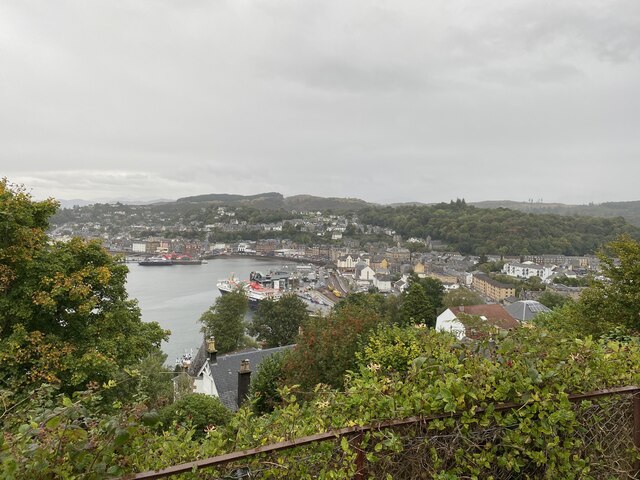
Lower Soroba is a small hamlet located in the county of Argyllshire, in the western part of Scotland. Situated just south of Oban, it is nestled in a picturesque valley surrounded by rolling hills and stunning landscapes. The hamlet is part of the wider community of Soroba, which also includes Upper Soroba and Soroba Village.

Lower Soroba is characterized by its peaceful and rural atmosphere, making it an idyllic location for those seeking tranquility and a connection with nature. The area is known for its lush greenery, with fields and farmland dominating the surrounding countryside. The nearby River Nant meanders through the landscape, adding to the charm and natural beauty of the area.

While predominantly residential, Lower Soroba does not offer many amenities within its immediate vicinity. However, the town of Oban, just a short drive away, provides a range of facilities and services including shops, supermarkets, restaurants, and schools. This makes Lower Soroba an appealing place for those who prefer a quiet rural lifestyle while still having access to urban conveniences.

The hamlet also benefits from its proximity to numerous outdoor recreational opportunities. The surrounding hills and countryside offer ample opportunities for hiking, cycling, and exploring the stunning Scottish wilderness. Additionally, the nearby coast provides access to beautiful beaches and water activities such as sailing, fishing, and wildlife spotting.

Overall, Lower Soroba offers a peaceful and scenic retreat in the heart of Argyllshire, making it an attractive destination for those seeking a rural escape in Scotland.

If you have any feedback on the listing, please let us know in the comments section below.
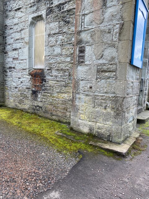
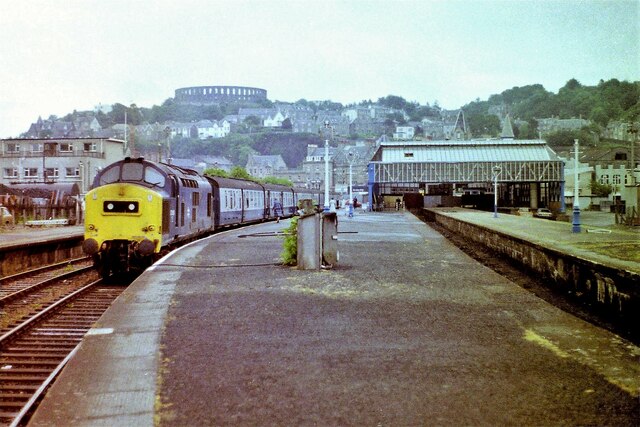
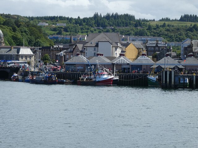
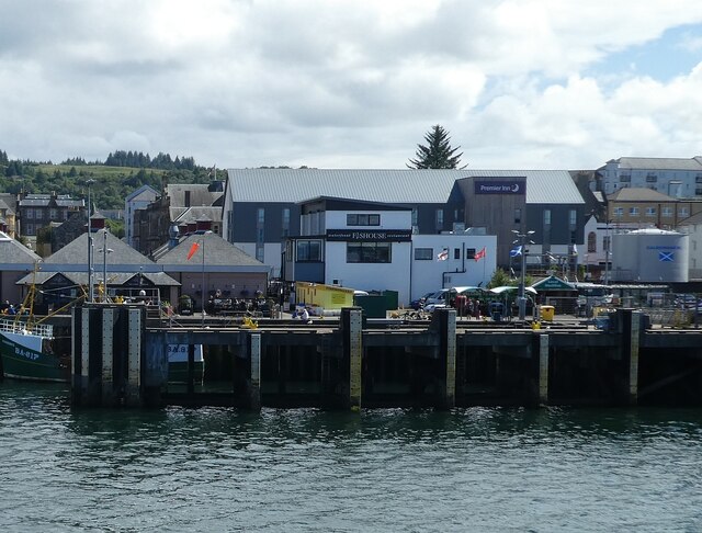
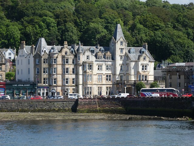
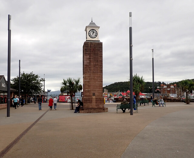
Lower Soroba Images

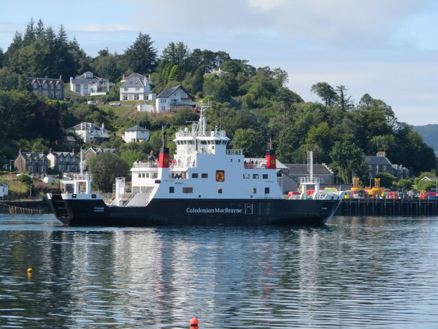
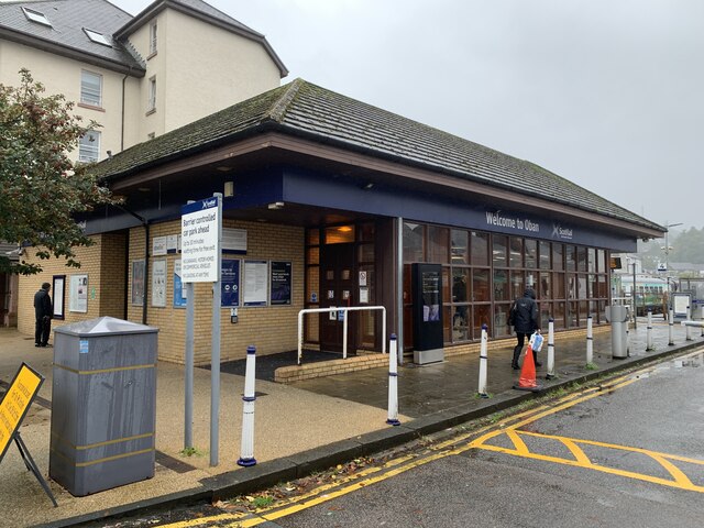
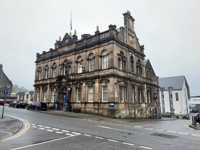
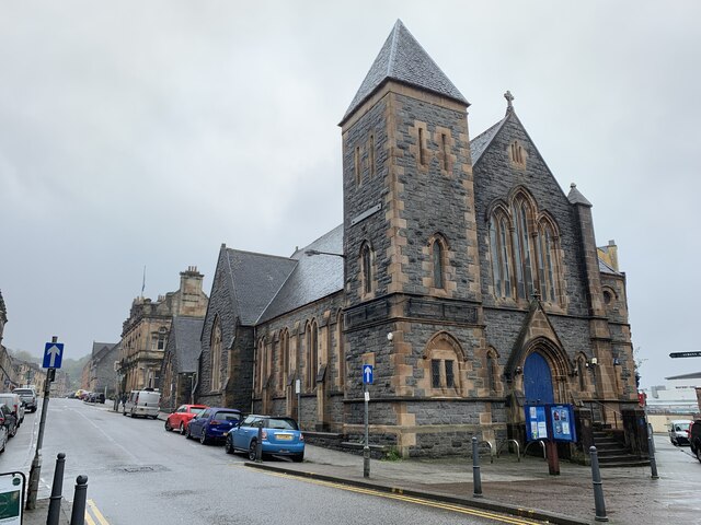
Images are sourced within 2km of 56.400204/-5.4662452 or Grid Reference NM8628. Thanks to Geograph Open Source API. All images are credited.

'MV Coruisk' leaving Oban One of CalMac's smaller ferries; I'm not sure where it was going, possibly Craignure on the Island of Mull.
'MV Coruisk' leaving Oban
One of CalMac's smaller ferries; I'm not sure where it was going, possibly Craignure on the Island of Mull.
NLV Pharos in Oban NLV Pharos is a lighthouse tender operated by the Northern Lighthouse Board (NLB), the body responsible for the operation of lighthouses and marine navigation aids around the coasts of Scotland and the Isle of Man.
NLV Pharos in Oban
NLV Pharos is a lighthouse tender operated by the Northern Lighthouse Board (NLB), the body responsible for the operation of lighthouses and marine navigation aids around the coasts of Scotland and the Isle of Man.
Oban ferry terminal and railway station From the deck of the MV Isle of Mull.
Oban ferry terminal and railway station
From the deck of the MV Isle of Mull.
Oban railway station A 1980s replacement for the original building.
Oban railway station
A 1980s replacement for the original building.
Municipal buildings, Albany Street, Oban Category B listed. Listing reference LB38799.
Architect Alexander Shairp, dated 1897.
Municipal buildings, Albany Street, Oban
Category B listed. Listing reference LB38799. Architect Alexander Shairp, dated 1897.
St Columba's Church, Oban Category C listed. Listing reference LB38813.
Architect J Fraser Sim, 1893-94. Gothic church, rectangular plan complex with church hall by Alexander Shairp of 1892 to SW
St Columba's Church, Oban
Category C listed. Listing reference LB38813. Architect J Fraser Sim, 1893-94. Gothic church, rectangular plan complex with church hall by Alexander Shairp of 1892 to SW
Views to Oban from Pulpit Hill
OS Flush Bracket S8432 - Oban, Sheriff Court <span class="nowrap"><a title="https://www.bench-marks.org.uk/bm498" rel="nofollow ugc noopener" href="https://www.bench-marks.org.uk/bm498">Link</a><img style="margin-left:2px;" alt="External link" title="External link - shift click to open in new window" src="https://s1.geograph.org.uk/img/external.png" width="10" height="10"/></span>
OS Flush Bracket S8432 - Oban, Sheriff Court
Campbell Street - Location of OS Flush Bracket S8432 - Oban, Sheriff Court
Oban Municipal Building
OS Cut Mark - Oban, Free Church <span class="nowrap"><a title="https://www.bench-marks.org.uk/bm25954" rel="nofollow ugc noopener" href="https://www.bench-marks.org.uk/bm25954">Link</a><img style="margin-left:2px;" alt="External link" title="External link - shift click to open in new window" src="https://s1.geograph.org.uk/img/external.png" width="10" height="10"/></span>
OS Cut Mark - Oban, Free Church
Location of OS Cut Mark - Oban, Free Church
Oban harbourside A view of Oban's harbour with fishing boats tied up. Taken from the deck of MV Isle of Lewis, about to leave for Castlebay, Barra.
Oban harbourside
A view of Oban's harbour with fishing boats tied up. Taken from the deck of MV Isle of Lewis, about to leave for Castlebay, Barra.
Oban railway station, Argyll and Bute, 1983 Opened in 1880 by the Callander & Oban Railway. Since 1965, the only line to here is from Glasgow via Crianlarich.
View north east towards the buffers. Track had already been removed from the platform to the right and the station was later greatly rationalised. See <a href="https://www.geograph.org.uk/photo/4146112">NM8529 : Oban railway station, Argyll and Bute</a> for a 2008 view from a similar camera position.
Oban railway station, Argyll and Bute, 1983
Opened in 1880 by the Callander & Oban Railway. Since 1965, the only line to here is from Glasgow via Crianlarich. View north east towards the buffers. Track had already been removed from the platform to the right and the station was later greatly rationalised. See NM8529 : Oban railway station, Argyll and Bute for a 2008 view from a similar camera position.
Oban - McCaig's Warehouse and The Corryvreckan Looking at the southern end of Oban Bay with "McCaig's Warehouse" and a "Wetherspoon's" pub "The Corryvreckan". Several local fishing boats are moored up along the harbour wall here. The CalMac ferry terminal is off-image to the right.
Oban - McCaig's Warehouse and The Corryvreckan
Looking at the southern end of Oban Bay with "McCaig's Warehouse" and a "Wetherspoon's" pub "The Corryvreckan". Several local fishing boats are moored up along the harbour wall here. The CalMac ferry terminal is off-image to the right.
Oban - Buildings adjacent to Oban Ferry Terminal The "Fishouse" waterfront restaurant and behind it the Premier Inn are adjacent to Oban's large CalMac ferry terminal where ferries arrive and depart from/to numerous offshore islands - See shared description.
This image is immediately to the right of <a href="https://www.geograph.org.uk/photo/7257183">NM8529 : Oban - McCaig's Warehouse and The Corryvreckan</a>
Oban - Buildings adjacent to Oban Ferry Terminal
The "Fishouse" waterfront restaurant and behind it the Premier Inn are adjacent to Oban's large CalMac ferry terminal where ferries arrive and depart from/to numerous offshore islands - See shared description. This image is immediately to the right of NM8529 : Oban - McCaig's Warehouse and The Corryvreckan
Oban - The Perle Oban / Caledonian Hotel This rather remarkable chateau-like building is the Perle Oban Hotel, formerly known as the Caledonian Hotel. It is HES Category 'B' listed: <span class="nowrap"><a title="http://portal.historicenvironment.scot/designation/LB38856" rel="nofollow ugc noopener" href="http://portal.historicenvironment.scot/designation/LB38856">Link</a><img style="margin-left:2px;" alt="External link" title="External link - shift click to open in new window" src="https://s1.geograph.org.uk/img/external.png" width="10" height="10"/></span>
See it in context here: <a href="https://www.geograph.org.uk/photo/7257130">NM8530 : Oban - Hotels and shops on the seafront</a>
Oban - The Perle Oban / Caledonian Hotel
This rather remarkable chateau-like building is the Perle Oban Hotel, formerly known as the Caledonian Hotel. It is HES Category 'B' listed: LinkExternal link See it in context here: NM8530 : Oban - Hotels and shops on the seafront
Clock Tower, Station Square, Oban
Show me another place!

Lower Soroba is located at Grid Ref: NM8628 (Lat: 56.400204, Lng: -5.4662452)

Unitary Authority: Argyll and Bute

Police Authority: Argyll and West Dunbartonshire

What 3 Words

///wildfires.speak.represent. Near Oban, Argyll & Bute

Related Wikis

Lorn and Islands Hospital

Lorn & Islands Hospital is a rural general hospital on the southern outskirts of Oban in Argyll, Scotland. It is managed by NHS Highland. == History... ==

Oban High School

Oban High School (Scottish Gaelic: Àrd-sgoil an Òbain) is a secondary school in Oban, Argyll, Scotland. The head teacher is currently Peter Bain, having...

Oban Hydro

The Oban Hills Hydropathic Sanatorium was a proposed Hydropathic Hotel in Oban, Scotland. Construction of the hotel began in 1881 on a hill east of the...

Oban

Oban ( OH-bən; Scottish Gaelic: An t-Òban [ən̪ˠ ˈt̪ɔːpan] meaning The Little Bay) is a resort town within the Argyll and Bute council area of Scotland...

Nearby Amenities

Located within 500m of 56.400204,-5.4662452
Mini Roundabout
Direction: clockwise
Lat/Long: 56.4013473/-5.4729485
Bus Stop
Bench: yes
Bin: no
Bus: yes
Departures Board: timetable
Naptan AtcoCode: 60709651
Naptan NaptanCode: 54725946
Public Transport: platform
Shelter: yes
Lat/Long: 56.4017907/-5.4726341
Bus Stop
Bench: yes
Bin: no
Bus: yes
Public Transport: platform
Shelter: yes
Lat/Long: 56.4018163/-5.4728453
Power: pole
Lat/Long: 56.3975319/-5.4694477
Power: pole
Lat/Long: 56.3969134/-5.4701517
Power: pole
Lat/Long: 56.3964664/-5.4706837
Bus Stop
Nant Drive
Bus: yes
Public Transport: platform
Lat/Long: 56.4018463/-5.4617485
Bus Stop
Bus: yes
Public Transport: platform
Lat/Long: 56.4000136/-5.4637642
Bus Stop
Bus: yes
Public Transport: platform
Lat/Long: 56.3998573/-5.4656178
Bus Stop
Bus: yes
Public Transport: platform
Lat/Long: 56.4040409/-5.4632393
Bus Stop
Bus: yes
Public Transport: platform
Lat/Long: 56.4031809/-5.4655344
Bus Stop
Bus: yes
Public Transport: platform
Lat/Long: 56.4017163/-5.4671001
Bus Stop
Bus: yes
Public Transport: platform
Lat/Long: 56.3984867/-5.4679256
Power: pole
Lat/Long: 56.3992036/-5.4737782
Power: pole
Lat/Long: 56.3988218/-5.4735598
Power: pole
Lat/Long: 56.3965068/-5.4699539
Power: pole
Lat/Long: 56.3970735/-5.4690403
Lower Soroba
Place: suburb
Lat/Long: 56.4003153/-5.46588
Soroba
Alt Name Gd: Soraba
Place: suburb
Lat/Long: 56.4040318/-5.4620177
Grit Bin
Material: plastic
Lat/Long: 56.3998766/-5.4716367
Grit Bin
Material: plastic
Lat/Long: 56.3991117/-5.4704513
Grit Bin
Colour: yellow
Material: plastic
Lat/Long: 56.3996823/-5.4701817
Man Made: tower
Lat/Long: 56.4012123/-5.4721011
Crossing
Crossing: traffic_signals
Crossing Island: no
Tactile Paving: yes
Lat/Long: 56.399869/-5.4704784
Power: pole
Lat/Long: 56.3962178/-5.4625955
Generator Method: photovoltaic
Generator Output Electricity: yes
Generator Source: solar
Generator Type: solar_photovoltaic_panel
Power: generator
Lat/Long: 56.4010486/-5.4686335
Generator Method: photovoltaic
Generator Output Electricity: yes
Generator Source: solar
Generator Type: solar_photovoltaic_panel
Power: generator
Lat/Long: 56.4039705/-5.4659787
Generator Method: photovoltaic
Generator Output Electricity: yes
Generator Source: solar
Generator Type: solar_photovoltaic_panel
Power: generator
Lat/Long: 56.4030193/-5.4704837
Give Way
Direction: backward
Lat/Long: 56.3996888/-5.4699109
Bus Stop
Public Transport: platform
Lat/Long: 56.4037421/-5.4710546
Platform
Public Transport: platform
Lat/Long: 56.4003937/-5.4684824
Bus Stop
Public Transport: platform
Lat/Long: 56.3999766/-5.4713537
Bus Stop
Public Transport: platform
Lat/Long: 56.4000338/-5.4708803
Bus Stop
Public Transport: platform
Lat/Long: 56.403728/-5.4709259
Post Box
Lat/Long: 56.3998714/-5.4657048
Post Box
Lat/Long: 56.4041167/-5.4634336
The data included in this document is from www.openstreetmap.org. The data is made available under ODbL.

Have you been to Lower Soroba?

Leave your review of Lower Soroba below (or comments, questions and feedback).