Lower Cabrach

Settlement in Banffshire

Scotland

Lower Cabrach

The shallow valley of Burn Treble
The shallow valley of Burn Treble Credit: Alan Reid

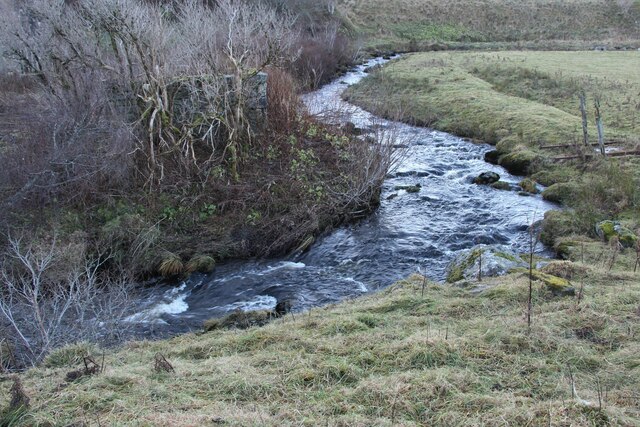
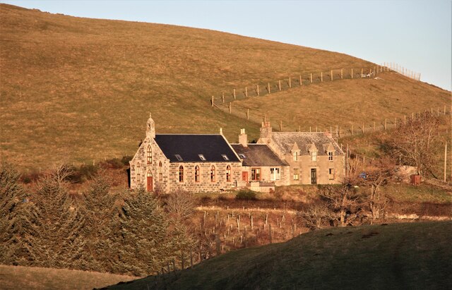
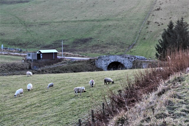
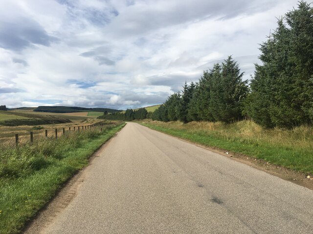
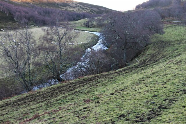
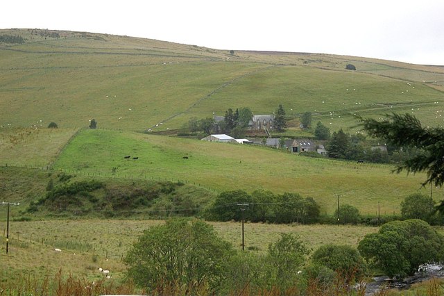
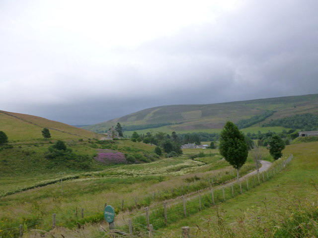
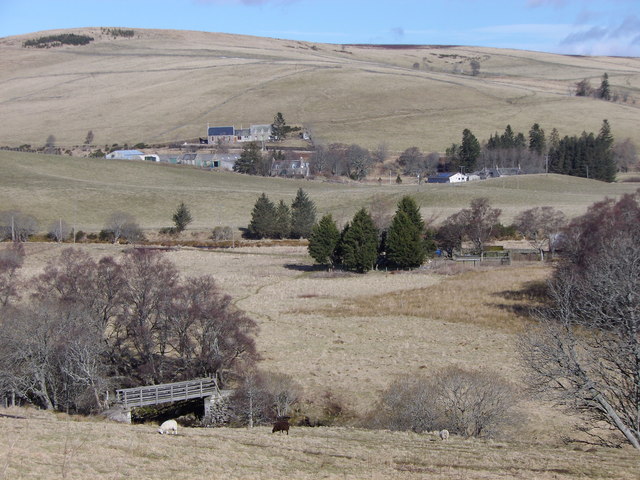
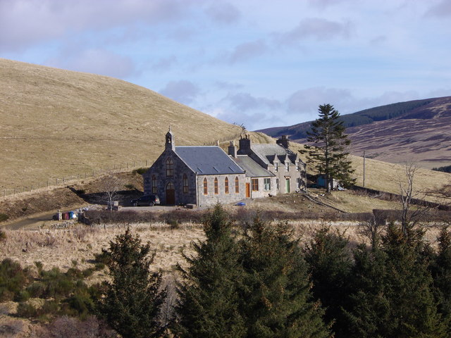
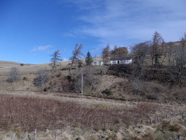
Lower Cabrach is a rural area located in the county of Banffshire, Scotland. Situated in the northeastern part of the country, it is nestled between the River Deveron and the River Isla, offering stunning views of the surrounding countryside. Lower Cabrach is characterized by its rolling hills, vast open spaces, and picturesque landscapes.

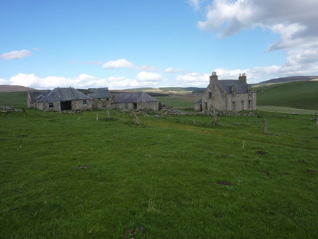
The area is known for its rich history, with evidence of human habitation dating back thousands of years. Ruins of ancient settlements and prehistoric sites can be found scattered throughout Lower Cabrach, providing intriguing insights into the region's past.

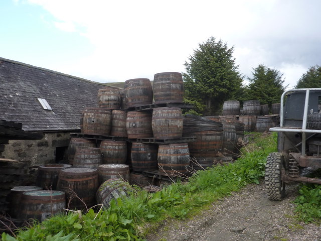
Lower Cabrach is primarily an agricultural community, with farming being the main occupation of its residents. The fertile soil and favorable climate make it an ideal location for cultivating crops and rearing livestock. The area is particularly renowned for its production of barley, which is highly valued for its use in the whisky distilling industry.

The community in Lower Cabrach is close-knit, with a small population that fosters a strong sense of camaraderie and community spirit. Residents often come together for various social events and celebrations, fostering a sense of belonging and unity.

For those seeking outdoor activities, Lower Cabrach offers ample opportunities for hiking, cycling, and exploring the beautiful natural surroundings. The local trails provide breathtaking views of the countryside, making it a popular destination for nature enthusiasts and outdoor lovers.

Overall, Lower Cabrach is a charming rural area that offers a tranquil escape from the hustle and bustle of city life. Its rich history, stunning landscapes, and close-knit community make it a truly unique place to visit or call home.

If you have any feedback on the listing, please let us know in the comments section below.

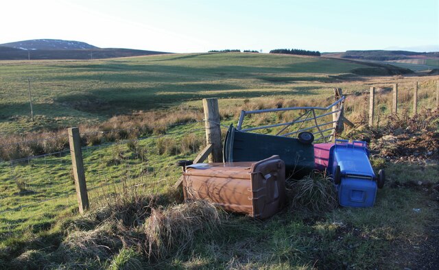
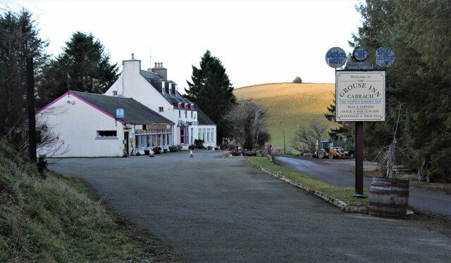
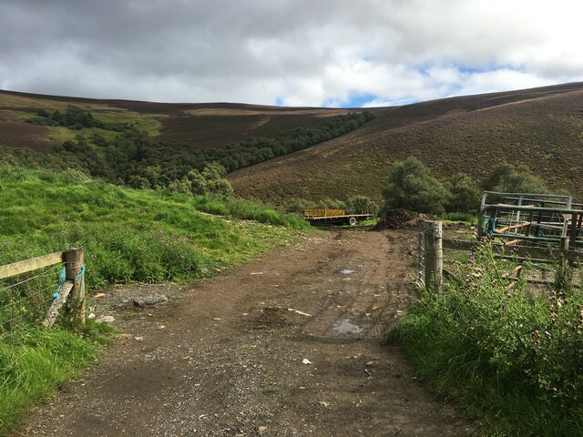
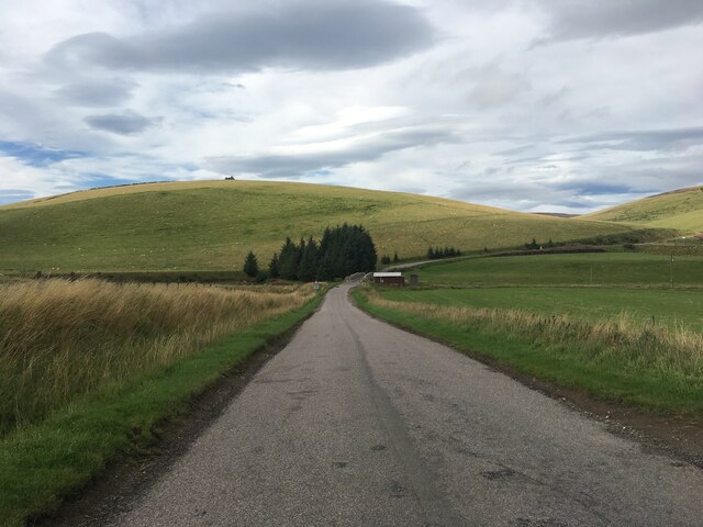
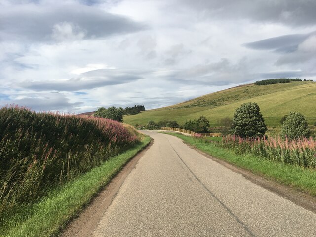
Lower Cabrach Images

Images are sourced within 2km of 57.368187/-3.0264505 or Grid Reference NJ3831. Thanks to Geograph Open Source API. All images are credited.

The shallow valley of Burn Treble
Burn Treble above A941 road
Converted church at Inverharroch
Blackwater Bridge
Blackwater Bridge
The Grouse Inn, Cabrach
Field entrance near Berry Hillock
A941 near Inverharroch
A941 towards Dufftown
The upper River Deveron Looking upstream.
The upper River Deveron
Looking upstream.
Derelict farm at Upper Ardwell
Roll out the barrel At the rear of the Grouse Inn, in the Cabrach
Roll out the barrel
At the rear of the Grouse Inn, in the Cabrach
Recycling old whisky barrels at Nether Ardwell Converting them to plant pots, etc.
Recycling old whisky barrels at Nether Ardwell
Converting them to plant pots, etc.
Lower Cabrach manse Viewed from Nether Ardwell workshop.
Lower Cabrach manse
Viewed from Nether Ardwell workshop.
Burn Treble and road to Inverharroch Farm Lower Cabrach Church can be seen on the road to Glass, on the other side of the burn.
Burn Treble and road to Inverharroch Farm
Lower Cabrach Church can be seen on the road to Glass, on the other side of the burn.
Footbridge over Allt Deveron Between the Grouse Inn and Dalriach.
Footbridge over Allt Deveron
Between the Grouse Inn and Dalriach.
Upper Cabrach church and manse Seen from the A941 near Bridgend.
Upper Cabrach church and manse
Seen from the A941 near Bridgend.
Cottage at Bridgend, Lower Cabrach Viewed from A941 over Charach Water.
Cottage at Bridgend, Lower Cabrach
Viewed from A941 over Charach Water.
Show me another place!

Lower Cabrach is located at Grid Ref: NJ3831 (Lat: 57.368187, Lng: -3.0264505)

Unitary Authority: Moray

Police Authority: North East

What 3 Words

///replayed.decoding.skews. Near Dufftown, Moray

Nearby Locations

Lower Cabrach

Related Wikis

Cabrach

The Cabrach (Scottish Gaelic: A' Chabrach, A' Chabraich) is an estate and largely depopulated rural community in Moray, Scotland. The meaning of the name...

Clashindarroch Forest

Clashindarroch Forest is possibly the largest forest in Aberdeenshire, situated to the south-west of the market town of Huntly. Managed by Forest Enterprise...

Wormy Hillock Henge

Wormy Hillock Henge, also known as The Dragon's Grave, is a small henge in Aberdeenshire, Scotland. It is a Scheduled Ancient Monument located in the Clashindarroch...

Beldorney Castle

Beldorney Castle is a Z-plan castle dating from the mid-16th century, about two miles south of Glass, in hilly country in the valley of the Deveron, in...

Nearby Amenities

Located within 500m of 57.368187,-3.0264505
Place Of Worship
Former Lower Cabrach Church
Religion: christian
Lat/Long: 57.3680435/-3.0309713
Community Centre
Acorn Centre
Addr Postcode: AB54 4EU
Fhrs Id: 331991
Source Addr Postcode: FHRS Open Data
Lat/Long: 57.3671626/-3.0290848
Proposed Cabrach Heritage Centre
Tourism: museum
Lat/Long: 57.3660264/-3.0309514
Power: pole
Lat/Long: 57.3681311/-3.033722
Power: pole
Lat/Long: 57.3677391/-3.0326298
Power: pole
Lat/Long: 57.3673481/-3.0315137
Power: pole
Lat/Long: 57.3670357/-3.0306927
Power: pole
Lat/Long: 57.3667367/-3.0298618
Power: pole
Lat/Long: 57.3666558/-3.0291062
Power: pole
Lat/Long: 57.3665613/-3.0281978
Power: pole
Lat/Long: 57.366042/-3.0286646
Power: pole
Lat/Long: 57.3655657/-3.0290711
Power: pole
Lat/Long: 57.3651604/-3.0294244
Power: pole
Lat/Long: 57.3648021/-3.0297104
Power: pole
Lat/Long: 57.3691786/-3.0248057
Power: pole
Lat/Long: 57.3697894/-3.0243482
Power: pole
Lat/Long: 57.3701495/-3.0251474
Power: pole
Lat/Long: 57.3705582/-3.0260542
Power: pole
Lat/Long: 57.3708508/-3.026503
Power: pole
Lat/Long: 57.3700938/-3.0195405
Power: pole
Lat/Long: 57.3695815/-3.0204666
Power: pole
Lat/Long: 57.368909/-3.0206123
Power: pole
Lat/Long: 57.368332/-3.0210127
Power: pole
Lat/Long: 57.3677719/-3.0218429
Power: pole
Lat/Long: 57.3672526/-3.0227505
Power: pole
Lat/Long: 57.3671342/-3.023815
Power: pole
Lat/Long: 57.3670109/-3.0250695
Power: pole
Lat/Long: 57.3668358/-3.0262982
Power: pole
Lat/Long: 57.3667084/-3.0272336
Noexit: yes
Lat/Long: 57.3652776/-3.0264756
The data included in this document is from www.openstreetmap.org. The data is made available under ODbL.

Have you been to Lower Cabrach?

Leave your review of Lower Cabrach below (or comments, questions and feedback).