Low Humbleton

Settlement in Northumberland

England

Low Humbleton

Tree stump, Akeld Steads Rough grazing near Akeld Steads
Tree stump, Akeld Steads Credit: Lisa Jarvis

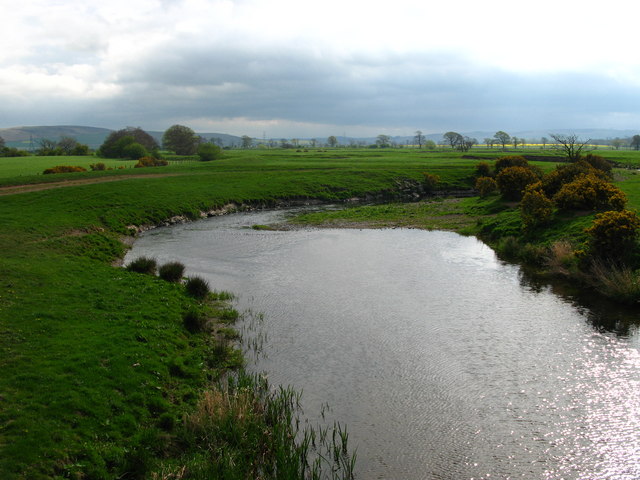
Low Humbleton is a small village situated in the county of Northumberland, in the northeastern part of England. Nestled amidst rolling green fields and bordered by the picturesque River Aln, this charming village is known for its tranquility and natural beauty. With a population of around 200 residents, it offers a peaceful and close-knit community.

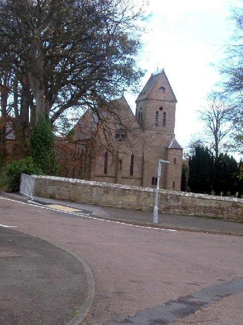
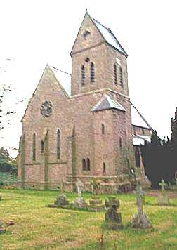
The village is renowned for its historic architecture, with many buildings dating back to the 18th and 19th centuries. The centerpiece of Low Humbleton is the St. Mary's Church, a stunning medieval structure that dominates the village's skyline. The church's intricate stained glass windows and well-preserved interior make it a popular attraction for visitors.

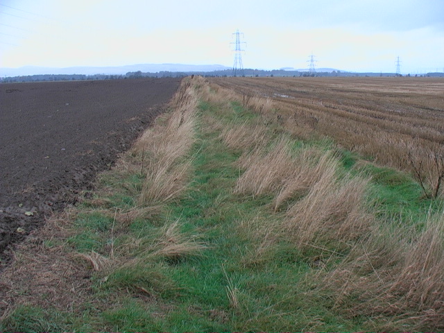
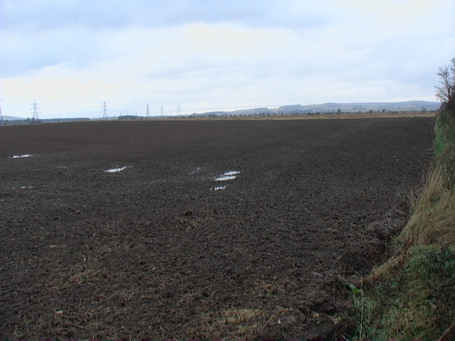
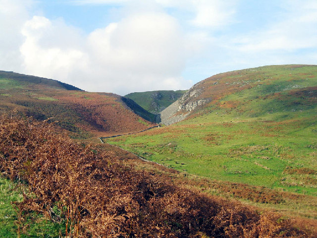
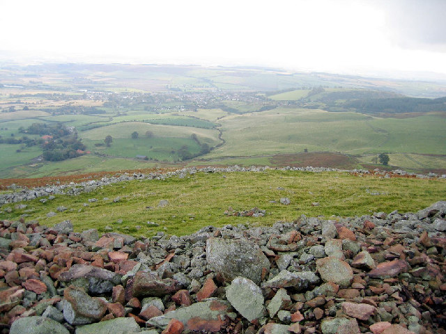
Surrounded by the Northumberland countryside, Low Humbleton provides ample opportunities for outdoor activities. The village is ideally located for hikers and nature enthusiasts, with several scenic trails and footpaths leading to nearby woodlands and viewpoints. The River Aln offers opportunities for fishing and boating, attracting both locals and tourists seeking relaxation or adventure.

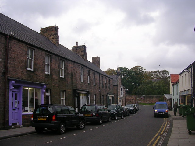
Although a small village, Low Humbleton offers essential amenities to its residents. There is a local primary school, a village hall that hosts community events, and a quaint pub serving traditional English food and drinks. The village is also well-connected to nearby towns and cities, with regular bus services and good road links.

Low Humbleton's peaceful atmosphere, picturesque surroundings, and strong sense of community make it an ideal place for those seeking a serene countryside lifestyle. Whether it's exploring historical landmarks, enjoying outdoor activities, or simply savoring the tranquility of rural life, this charming village has something to offer for everyone.

If you have any feedback on the listing, please let us know in the comments section below.

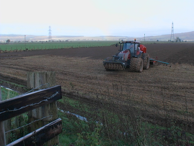
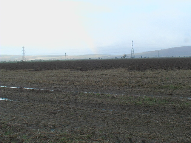
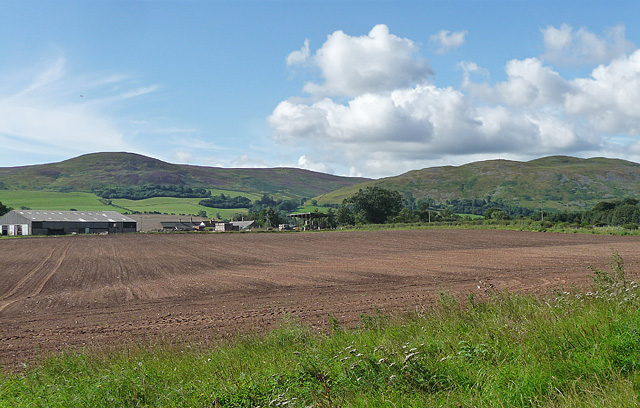
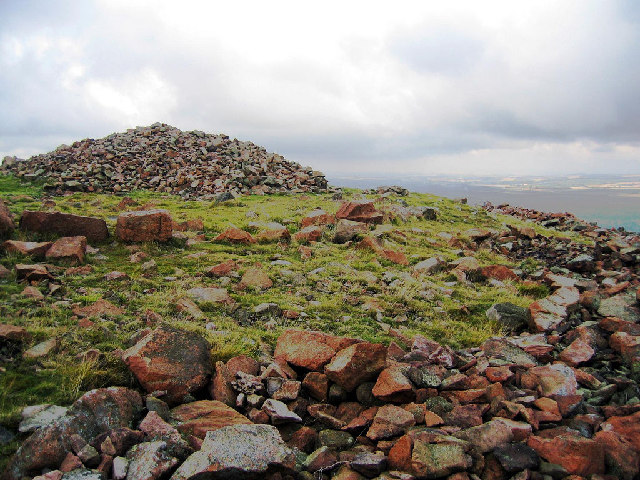
Low Humbleton Images

Images are sourced within 2km of 55.555612/-2.0430112 or Grid Reference NT9729. Thanks to Geograph Open Source API. All images are credited.

Tree stump, Akeld Steads Rough grazing near Akeld Steads
Tree stump, Akeld Steads
Rough grazing near Akeld Steads
River Glen, Akeld Steads
Junction of River Glen and drainage ditch
Irrigation plumbing on  the flood plain of the Till
Irrigation plumbing on the flood plain of the Till
Line of up-rooted hedge
Shattered tree - probably flood damage
Arable flood plain of the River Till
Farm machinery on weekend break
Damp, flat but highly fertile farmland
Farmland near Akeld (1) The farm ahead is Akeld Steads. A farm here has appeared on maps, under different names, since the late C18th.
Harehope Hill is behind the farm, Akeld Hill to the right.
Farmland near Akeld (1)
The farm ahead is Akeld Steads. A farm here has appeared on maps, under different names, since the late C18th. Harehope Hill is behind the farm, Akeld Hill to the right.
Humbleton Hill hill fort The remains of the massive stone ramparts of the hill fort.
Humbleton Hill hill fort
The remains of the massive stone ramparts of the hill fort.
View of Monday Cleugh and Harehope Hill At the northern edge of Monday Cleugh are the remains of a hanging hill fort positioned on the edge of the ravine.
View of Monday Cleugh and Harehope Hill
At the northern edge of Monday Cleugh are the remains of a hanging hill fort positioned on the edge of the ravine.
Humbleton Hill hill fort Wooler can be seen in the distance over the ramparts of the hill fort.
Humbleton Hill hill fort
Wooler can be seen in the distance over the ramparts of the hill fort.
Church, Wooler In the north end of Wooler on the road from Humbleton
Church, Wooler
In the north end of Wooler on the road from Humbleton
Bendor stone at the Battle of Homildon Hill The Battle of Homildon Hill was fought in 1402. It was around this stone that many of the Scots were killed.
Bendor stone at the Battle of Homildon Hill
The Battle of Homildon Hill was fought in 1402. It was around this stone that many of the Scots were killed.
Wooler, Northumberland, the Roman Catholic Church of St Ninian
Subsidence at Wooler This row of houses (High Street) were actually in a much worse state than they appear in this photo.
Subsidence at Wooler
This row of houses (High Street) were actually in a much worse state than they appear in this photo.
Pill Box WWII defences to the north of Wooler.
Pill Box
WWII defences to the north of Wooler.
Show me another place!

Low Humbleton is located at Grid Ref: NT9729 (Lat: 55.555612, Lng: -2.0430112)

Unitary Authority: Northumberland

Police Authority: Northumbria

What 3 Words

///bashful.signed.flipper. Near Wooler, Northumberland

Nearby Locations

Low Humbleton

Related Wikis

Battle of Homildon Hill

The Battle of Holmedon Hill or Battle of Homildon Hill was a conflict between English and Scottish armies on 14 September 1402 in Northumberland, England...

Humbleton Hill

Humbleton Hill is a hill in Northumberland, England, about 1.5 miles (2.4 km) west of Wooler. It is the location of the Battle of Homildon Hill of 1402...

Cheviot Fringe

Cheviot Fringe ( CHEE-vee-ət) is a geographical region and a Natural England designated National Character Area (or NCA) located in the county Northumberland...

St Ninian's Catholic Church, Wooler

St Ninian’s church is a Catholic place of worship situated on Burnhouse Road in the town of Wooler in Northumberland, England. It is a Grade II listed...

Nearby Amenities

Located within 500m of 55.555612,-2.0430112
Post Box
Ref: NE71 75
Lat/Long: 55.5555955/-2.0431952
Low Humbleton
Place: hamlet
Lat/Long: 55.5538826/-2.0379734
Direction: 215
Generator Method: photovoltaic
Generator Output Electricity: yes
Generator Solar Modules: 14
Generator Source: solar
Generator Type: solar_photovoltaic_panel
Location: roof
Power: generator
Lat/Long: 55.553731/-2.0389422
Direction: S
Generator Method: photovoltaic
Generator Output Electricity: yes
Generator Solar Modules: 4
Generator Source: solar
Generator Type: solar_photovoltaic_panel
Location: roof
Power: generator
Lat/Long: 55.5539779/-2.0383421
Direction: S
Generator Method: photovoltaic
Generator Output Electricity: yes
Generator Solar Modules: 4
Generator Source: solar
Generator Type: solar_photovoltaic_panel
Location: roof
Power: generator
Lat/Long: 55.5539806/-2.0384212
Give Way
Direction: forward
Lat/Long: 55.5539869/-2.0378954
The data included in this document is from www.openstreetmap.org. The data is made available under ODbL.

Have you been to Low Humbleton?

Leave your review of Low Humbleton below (or comments, questions and feedback).