Low Hill
Settlement in Worcestershire Wychavon
England
Low Hill
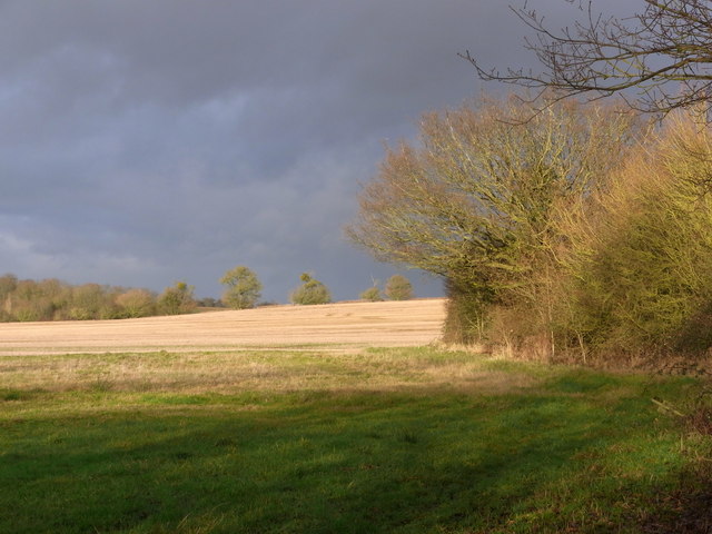
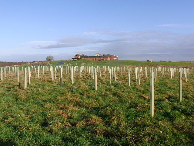
Low Hill is a small village located in the county of Worcestershire, England. Situated in the rural countryside, it is surrounded by picturesque landscapes and rolling hills. The village is nestled in the heart of Worcestershire, approximately 5 miles northwest of the town of Kidderminster.
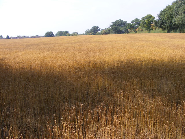
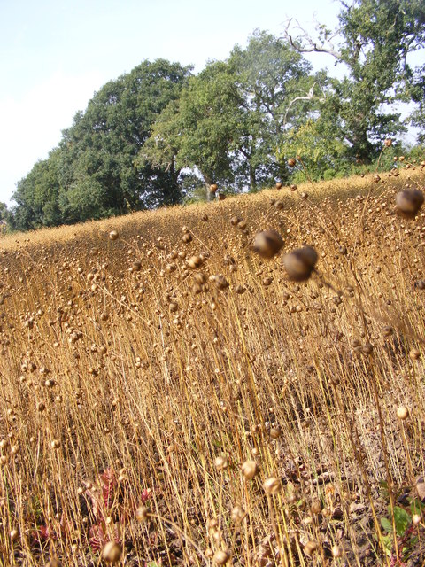
Low Hill is known for its peaceful and close-knit community. The village is characterized by charming cottages and traditional architecture, which adds to its quaint and timeless appeal. The local economy is primarily centered around agriculture, with many residents engaged in farming and other agricultural activities.
Despite its small size, Low Hill offers a range of amenities and services to its residents. These include a village hall, a primary school, a post office, and a local pub. The village hall serves as a hub for community events and gatherings, fostering a strong sense of community spirit among its residents.
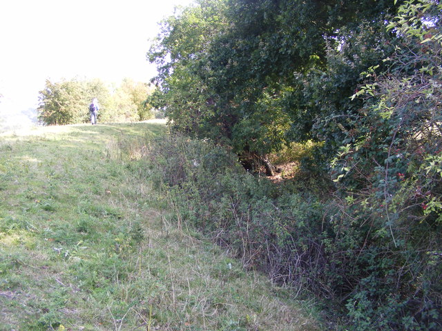
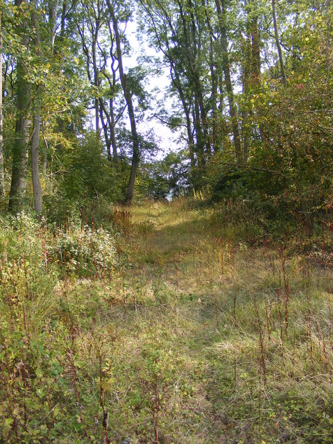
Surrounded by unspoiled countryside, Low Hill is a haven for outdoor enthusiasts. The area is crisscrossed by footpaths and trails that offer stunning views of the surrounding countryside. The village is also conveniently located near the Wyre Forest, a designated Area of Outstanding Natural Beauty, which provides ample opportunities for hiking, cycling, and wildlife spotting.
Low Hill embodies the charm and tranquility of rural Worcestershire, offering a peaceful retreat for those seeking a slower pace of life amidst beautiful natural surroundings.
If you have any feedback on the listing, please let us know in the comments section below.
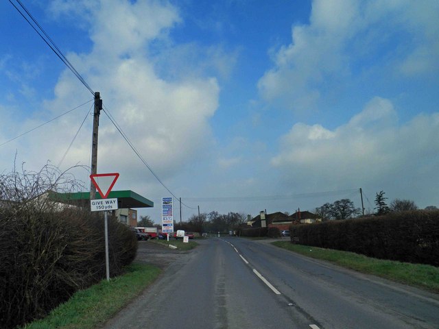
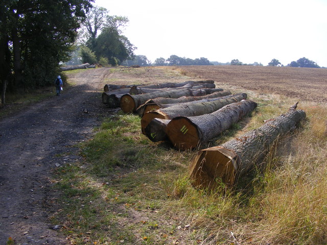
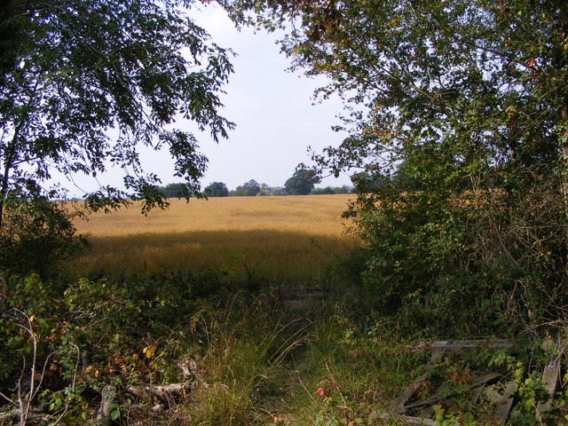
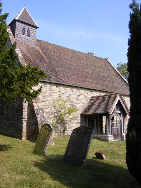
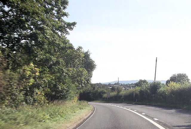
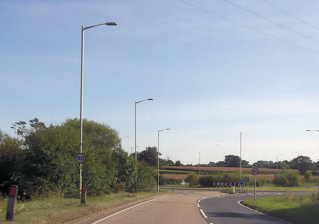
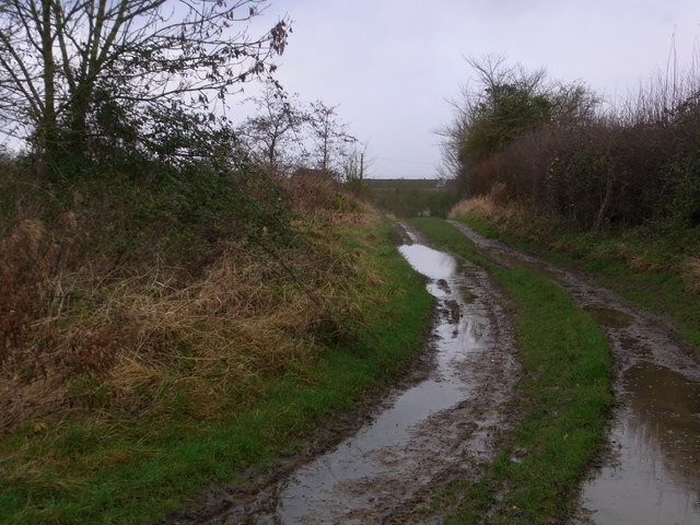
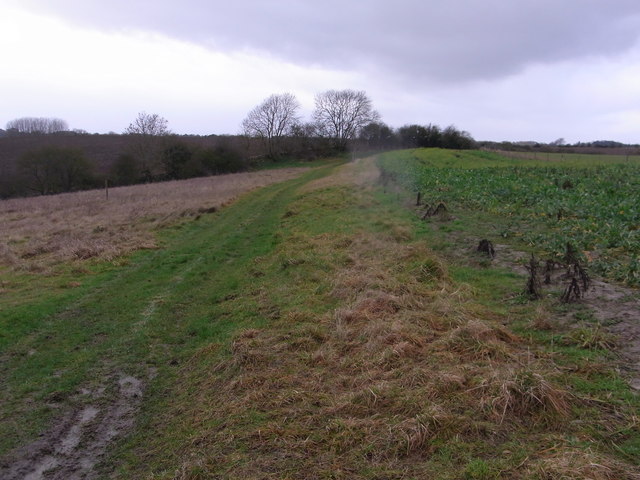
Low Hill Images
Images are sourced within 2km of 52.169938/-2.1353062 or Grid Reference SO9052. Thanks to Geograph Open Source API. All images are credited.

Low Hill is located at Grid Ref: SO9052 (Lat: 52.169938, Lng: -2.1353062)
Administrative County: Worcestershire
District: Wychavon
Police Authority: West Merica
What 3 Words
///tunnel.cycles.suffice. Near Worcester, Worcestershire
Nearby Locations
Related Wikis

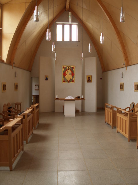
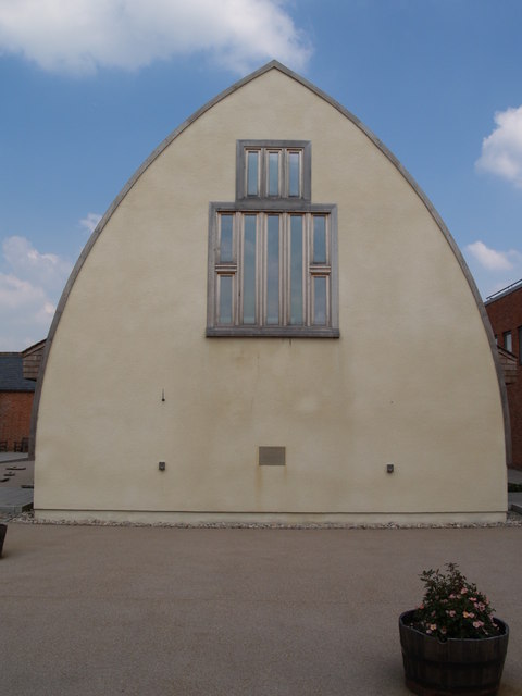
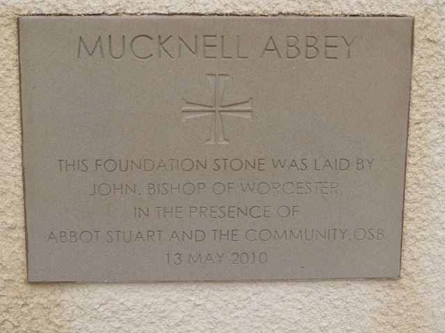
Mucknell Abbey
Mucknell Abbey is an Anglican Benedictine monastery in Worcestershire, England. The community, which formerly lived at Burford, has both male and female...
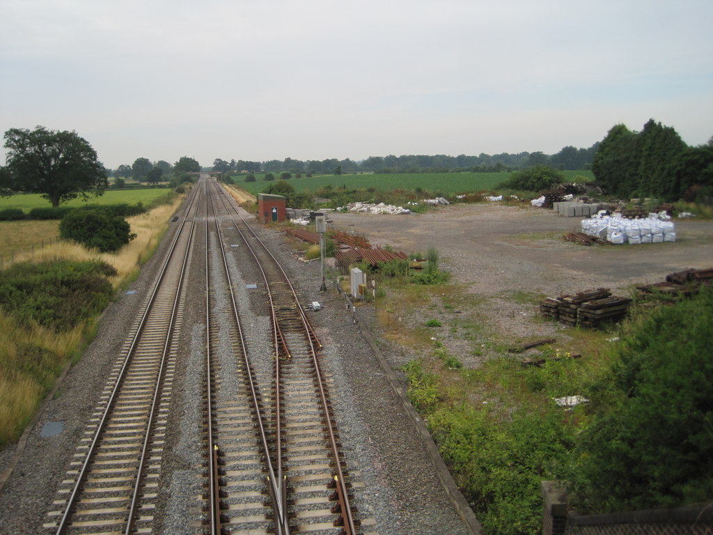
Spetchley railway station
Spetchley railway station was an intermediate stop on the Birmingham and Gloucester Railway, opened in 1840. Besides the village of Spetchley, it served...

White Ladies Aston
White Ladies Aston is a village in the Wychavon local government district of Worcestershire, England, United Kingdom, and also lends its name to the civil...
St John the Baptist, White Ladies Aston
St John the Baptist is a church in White Ladies Aston, Worcestershire, England. It has been designated as a Grade II* listed building by Historic England...

A422 road
The A422 is an "A" road for east–west journeys in south central England, connecting the county towns of Bedford and Worcester by way of Milton Keynes,...

Egdon
Egdon is a hamlet located in the county of Worcestershire and falls with the civil parish of Stoulton.
Spetchley
Spetchley is a hamlet and civil parish in Worcestershire, England, that lies in the district of Wychavon, half a mile from Worcester, along the A44 road...
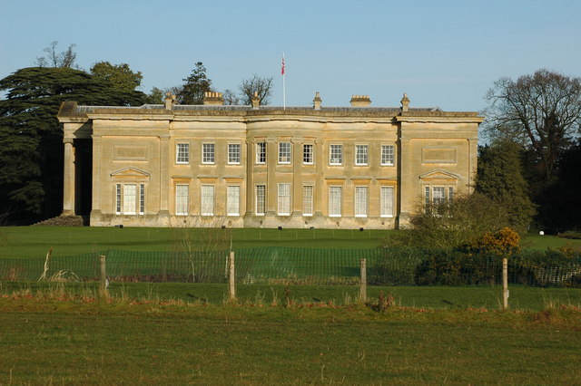
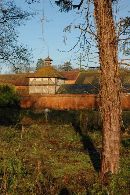
Spetchley Park
Spetchley Park is a country mansion standing in 4500 acres of gardens and parkland in the hamlet of Spetchley, near Worcester, England. The house and...
Nearby Amenities
Located within 500m of 52.169938,-2.1353062Have you been to Low Hill?
Leave your review of Low Hill below (or comments, questions and feedback).