Low Hill

Settlement in Worcestershire Wychavon

England

Low Hill

Captain's Pool A small lake situated on the edge of a large housing development. The lake is home to a variety of wildfowl and a popular venue for fishermen. The picture has been taken from the public footpath on the west side of the pool at SO 84732 74929.
Captain's Pool Credit: Martyn B

Low Hill is a small village located in the county of Worcestershire, England. Situated approximately 8 miles northwest of the city of Worcester, it falls within the administrative district of Malvern Hills. With a population of around 500 residents, Low Hill maintains a close-knit community atmosphere.

The village is surrounded by picturesque countryside, offering stunning views of the Malvern Hills and the Teme Valley. The peaceful and idyllic setting makes it an attractive place for those seeking a tranquil lifestyle away from the hustle and bustle of urban areas.

Despite its small size, Low Hill offers essential amenities to its residents. The village boasts a local primary school, providing education for children within the area. Additionally, there is a village hall that serves as a central hub for community events and gatherings.

For those interested in outdoor activities, Low Hill offers several opportunities to explore the natural beauty of the surrounding area. The nearby Malvern Hills provide ample hiking and walking trails, allowing residents to enjoy the stunning landscapes and panoramic views. The village is also close to the River Teme, where fishing and boating activities can be enjoyed.

Although predominantly rural, Low Hill benefits from its close proximity to Worcester, which offers a wider range of amenities, including shopping centers, restaurants, and leisure facilities. The village is well-connected to surrounding areas by road, with easy access to the A44 and A4103.

Overall, Low Hill offers a peaceful and scenic environment, making it an attractive place for those seeking a countryside lifestyle, while still benefiting from nearby urban amenities.

If you have any feedback on the listing, please let us know in the comments section below.
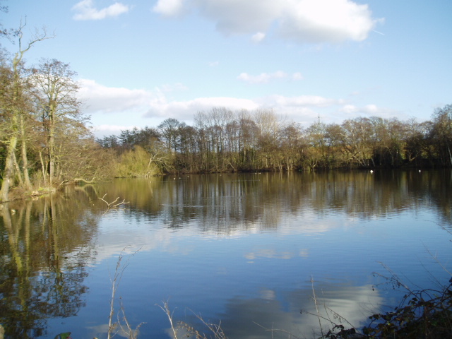
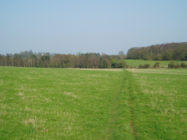
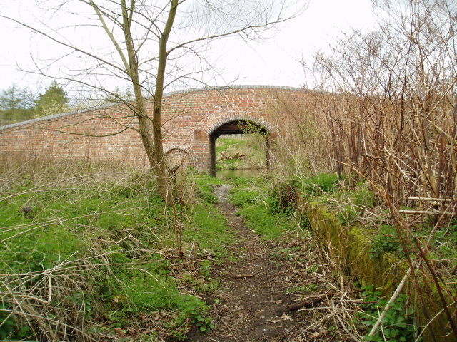
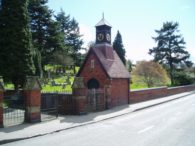
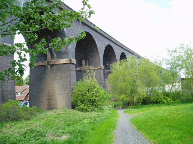
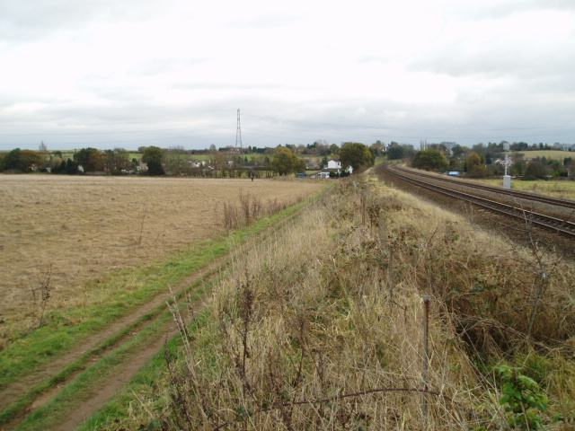
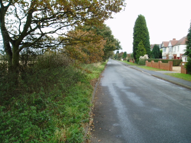
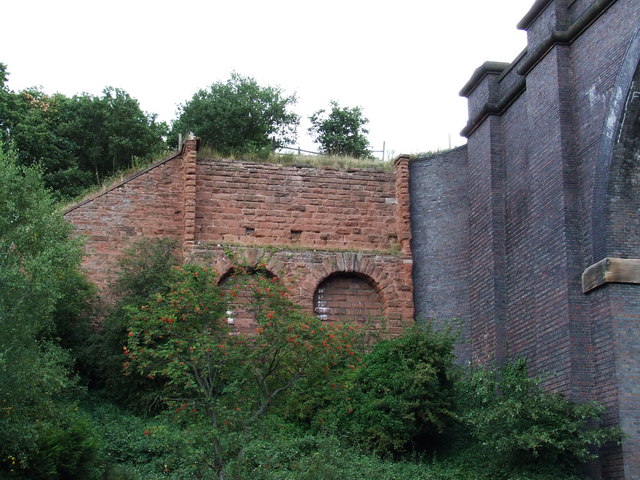
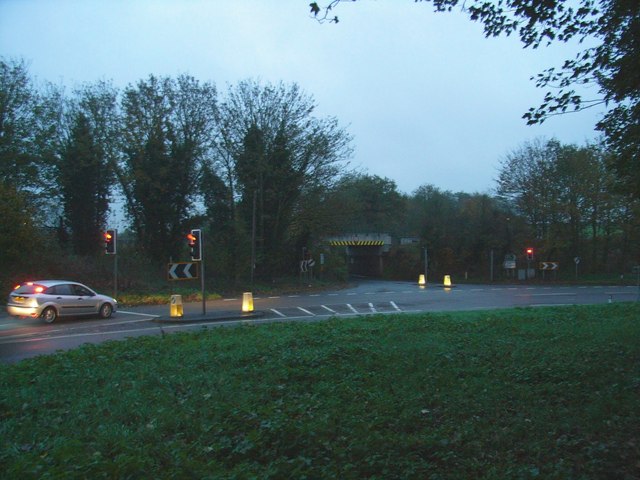
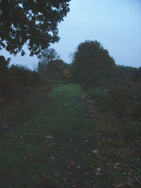
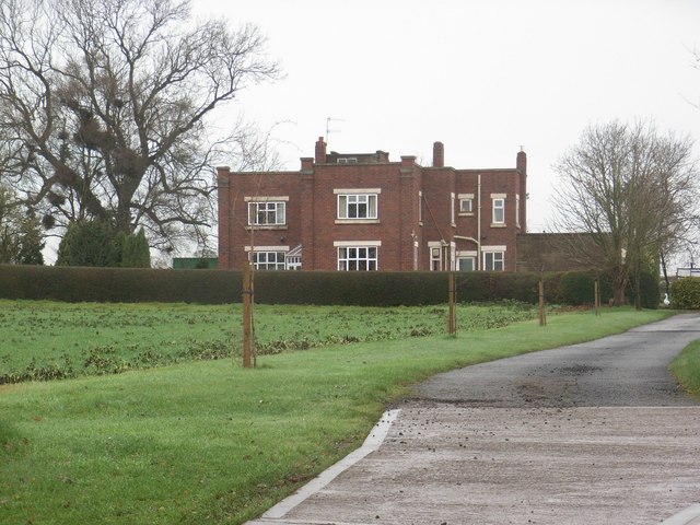
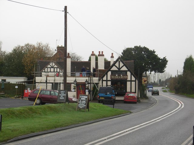
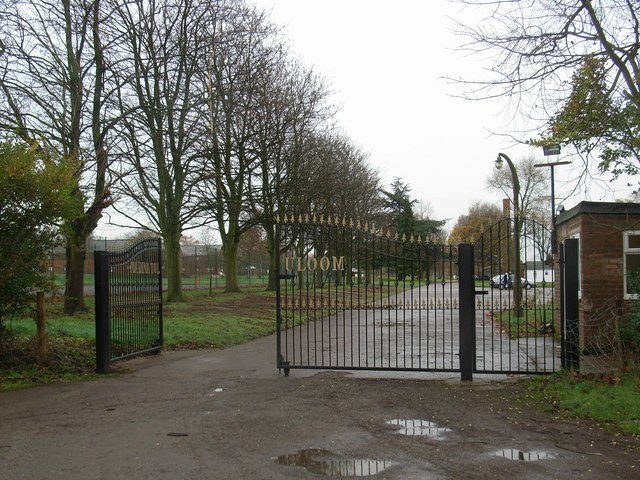
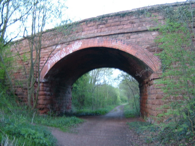
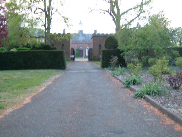
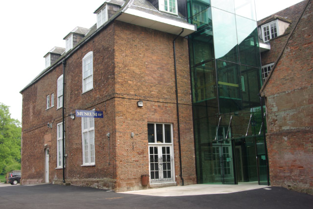
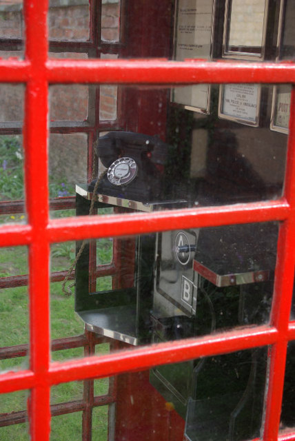
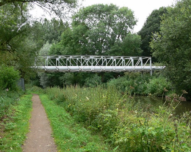
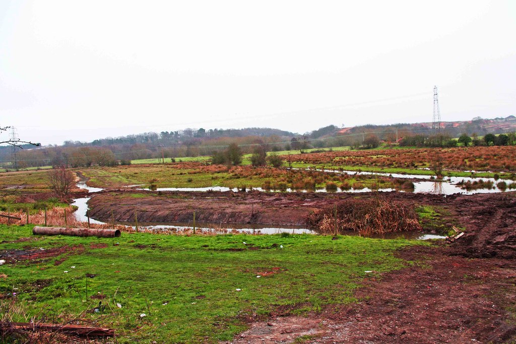
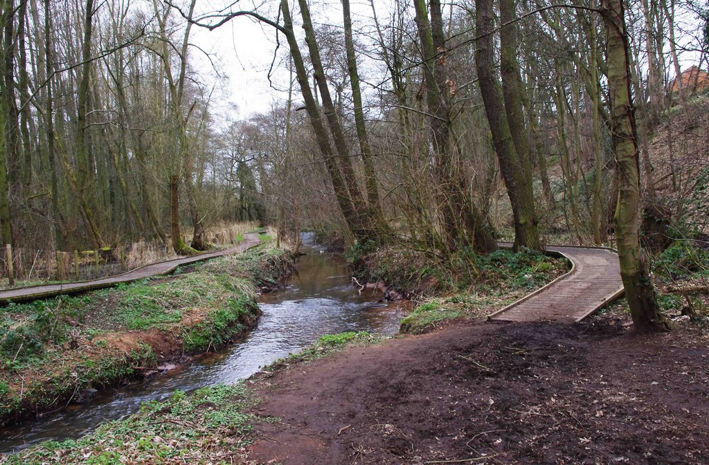
Low Hill Images

Images are sourced within 2km of 52.355555/-2.2317223 or Grid Reference SO8473. Thanks to Geograph Open Source API. All images are credited.

Captain's Pool A small lake situated on the edge of a large housing development. The lake is home to a variety of wildfowl and a popular venue for fishermen. The picture has been taken from the public footpath on the west side of the pool at SO 84732 74929.
Captain's Pool
A small lake situated on the edge of a large housing development. The lake is home to a variety of wildfowl and a popular venue for fishermen. The picture has been taken from the public footpath on the west side of the pool at SO 84732 74929.
Around Stanklyn Picture taken looking east along the public footpath leading to Stanklyn Lane, from grid reference SO85175 74444, directly under the power lines. Stanklyn Wood can be seen on the higher ground to the right of the picture, and the spire of Stone Church (see image in adjacent square) is just visible above the tree-line towards the left.
Around Stanklyn
Picture taken looking east along the public footpath leading to Stanklyn Lane, from grid reference SO85175 74444, directly under the power lines. Stanklyn Wood can be seen on the higher ground to the right of the picture, and the spire of Stone Church (see image in adjacent square) is just visible above the tree-line towards the left.
Platt's Wharf, Staffs. & Worcs. Canal The bridge at Platt’s Wharf takes the canal towpath over a disused lock, which used to link the Staffs. & Worcs. Canal to the River Stour. The wall of the lock is clearly visible on the right. The picture was taken from SO 82506 73773, looking from the River Stour towards the canal, which is visible through the arch of the bridge.
Platt's Wharf, Staffs. & Worcs. Canal
The bridge at Platt’s Wharf takes the canal towpath over a disused lock, which used to link the Staffs. & Worcs. Canal to the River Stour. The wall of the lock is clearly visible on the right. The picture was taken from SO 82506 73773, looking from the River Stour towards the canal, which is visible through the arch of the bridge.
Wilden, Alfred Baldwin Clocktower Memorial Wilden’s past was shaped by the industrialist Alfred Baldwin, father of the famous Prime Minister, Stanley Baldwin. The industries have now all but disappeared, but  the clocktower, erected at the entrance to the cemetery in 1910 by his grandson Oliver, is a lasting tribute to Alfred’s influence on the community. Taken from SO 82397 72204.
Wilden, Alfred Baldwin Clocktower Memorial
Wilden’s past was shaped by the industrialist Alfred Baldwin, father of the famous Prime Minister, Stanley Baldwin. The industries have now all but disappeared, but the clocktower, erected at the entrance to the cemetery in 1910 by his grandson Oliver, is a lasting tribute to Alfred’s influence on the community. Taken from SO 82397 72204.
Viaduct, Kidderminster The viaduct carrying the Kidderminster to Worcester mainline railway over the main A449 at Chester Road South, on the south side of Kidderminster. Picture taken from the public footpath alongside the railway at SO 8371 7464.
Viaduct, Kidderminster
The viaduct carrying the Kidderminster to Worcester mainline railway over the main A449 at Chester Road South, on the south side of Kidderminster. Picture taken from the public footpath alongside the railway at SO 8371 7464.
Mainline railway, near Kidderminster Picture taken from the north-west corner of the square looking south south-east towards Stanklyn Lane. The clearly defined path following the field boundary is not a right of way and thus does not appear on the Ordnance Survey maps of the area. The railway is the main line between Kidderminster and Worcester.
Mainline railway, near Kidderminster
Picture taken from the north-west corner of the square looking south south-east towards Stanklyn Lane. The clearly defined path following the field boundary is not a right of way and thus does not appear on the Ordnance Survey maps of the area. The railway is the main line between Kidderminster and Worcester.
Stanklyn Lane, near Kidderminster Taken from the bend in the road at SO 844 737 looking north-east, the picture shows Stanklyn Lane at the point where it remains perfectly straight for a distance of about 1 mile.
Stanklyn Lane, near Kidderminster
Taken from the bend in the road at SO 844 737 looking north-east, the picture shows Stanklyn Lane at the point where it remains perfectly straight for a distance of about 1 mile.
Storm Damage All that remains of the old viaduct, (made mostly of wood) that was blown down in a storm. The new viaduct is seen on the right of the picture.
Storm Damage
All that remains of the old viaduct, (made mostly of wood) that was blown down in a storm. The new viaduct is seen on the right of the picture.
Road junction and low bridge The A450 joins the A449 on a sharp bend, having passed under the railway bridge. The railway line is the Droitwich-Kidderminster-Birmingham line.
Road junction and low bridge
The A450 joins the A449 on a sharp bend, having passed under the railway bridge. The railway line is the Droitwich-Kidderminster-Birmingham line.
Former trackbed Looking towards (the former) Hartlebury junction on the line that went to Bewdley (on the preserved Severn Valley Railway) via Stourport on Severn.
Former trackbed
Looking towards (the former) Hartlebury junction on the line that went to Bewdley (on the preserved Severn Valley Railway) via Stourport on Severn.
The Hare and Hounds
The Hare and Hounds
Madinatululoom Main entrance to the Islamic college
Madinatululoom
Main entrance to the Islamic college
Disused railway Leapgate A wonderful find on a quest for a Geograph, we will definitely have to walk along here one day.
Disused railway Leapgate
A wonderful find on a quest for a Geograph, we will definitely have to walk along here one day.
The Bishop's Palace, Hartlebury Castle Museum The Palace is the home of the Bishop of Worcester and houses the famous Hurst Library.  The museum makes a for a good family day out.
The Bishop's Palace, Hartlebury Castle Museum
The Palace is the home of the Bishop of Worcester and houses the famous Hurst Library. The museum makes a for a good family day out.
Hartlebury Castle The north wing (seen here) houses the Worcestershire County Museum, whereas the south wing continues the traditional role of this house as the official residence of the Bishop of Worcester.
Hartlebury Castle
The north wing (seen here) houses the Worcestershire County Museum, whereas the south wing continues the traditional role of this house as the official residence of the Bishop of Worcester.
A/B Button Telephone Box Sadly, this telephone box is not for real, but is an exhibit at the Worcestershire County Museum, at Hartlebury Castle; the kiosk itself was sealed to prevent public access. This type of 'phone was phased out in the 1960s. The A button was pressed after a connection was made to continue the call, alternatively the B button could be pressed to abort the call with the money returned.
A/B Button Telephone Box
Sadly, this telephone box is not for real, but is an exhibit at the Worcestershire County Museum, at Hartlebury Castle; the kiosk itself was sealed to prevent public access. This type of 'phone was phased out in the 1960s. The A button was pressed after a connection was made to continue the call, alternatively the B button could be pressed to abort the call with the money returned.
Pipe bridge Crossing the Staffordshire & Worcestershire Canal south of Kidderminster.
Pipe bridge
Crossing the Staffordshire & Worcestershire Canal south of Kidderminster.
Show me another place!

Low Hill is located at Grid Ref: SO8473 (Lat: 52.355555, Lng: -2.2317223)

Administrative County: Worcestershire

District: Wychavon

Police Authority: West Merica

What 3 Words

///fight.cloth.adopt. Near Hartlebury, Worcestershire

Nearby Locations

Low Hill

Related Wikis

Summerfield Research Station

The Summerfield Research Station is a development and production site for solid rocket motors in the United Kingdom officially formed on 1 September 1951...

Wilden Marsh

Wilden Marsh is a nature reserve of the Worcestershire Wildlife Trust. It is situated between Kidderminster and Stourport-on-Severn, in Worcestershire...

Spennells Valley

Spennells Valley is a local nature reserve in south-east Kidderminster, in Worcestershire, England. == Description == It was declared a local nature reserve...

Wilden, Worcestershire

Wilden is a small village about 1 mile north east of Stourport-on-Severn, Worcestershire. It is in the Stour valley and both the River Stour and the Staffordshire...

Nearby Amenities

Located within 500m of 52.355555,-2.2317223
Traffic Signals
Lat/Long: 52.3568487/-2.2326517
Bus Stop
Mare & Colt
Bus: yes
Naptan AtcoCode: 2000G048500
Naptan Bearing: N
Naptan CommonName: Mare & Colt
Naptan Indicator: adj
Naptan NaptanCode: wocdpdad
Naptan PlusbusZoneRef: KDRMNST
Naptan Street: Worcester Road
Naptan Verified: no
Public Transport: platform
Source: naptan_import
Lat/Long: 52.3582382/-2.2335493
Bus Stop
Mare & Colt
Bus: yes
Naptan AtcoCode: 2000G048501
Naptan Bearing: N
Naptan CommonName: Mare & Colt
Naptan Indicator: Opp
Naptan NaptanCode: wocdpdag
Naptan PlusbusZoneRef: KDRMNST
Naptan Street: Worcester Road
Naptan Verified: no
Public Transport: platform
Source: naptan_import
Lat/Long: 52.3588481/-2.2342868
Bus Stop
Torton- 6 Ashfield House
Bus: yes
Naptan AtcoCode: 2000G663003
Naptan Bearing: SE
Naptan CommonName: Torton- 6 Ashfield House
Naptan Indicator: Adj
Naptan Landmark: 6 Ashfield House
Naptan NaptanCode: wocdpjwm
Naptan PlusbusZoneRef: KDRMNST
Naptan Street: Droitwich Rd
Naptan Verified: no
Public Transport: platform
Source: naptan_import
Lat/Long: 52.3554668/-2.2301429
Power: tower
Source: bing
Lat/Long: 52.3592559/-2.2305074
Power: tower
Source: bing
Lat/Long: 52.3548182/-2.2381311
Power: tower
Source: bing
Lat/Long: 52.3570567/-2.2342805
Pub
Mare & Colt
Addr Postcode: DY11 7RF
Addr Street: Worcester Road
Brand: Chef & Brewer
Brand Wikidata: Q5089491
Website: https://www.chefandbrewer.com/pubs/worcestershire/mare-and-colt
Lat/Long: 52.3588837/-2.2337461
Man Made: pipeline_marker
Source: survey
Substance: gas
Lat/Long: 52.353498/-2.2274512
Generator Method: photovoltaic
Generator Output Electricity: yes
Generator Source: solar
Generator Type: solar_photovoltaic_panel
Location: roof
Power: generator
Lat/Long: 52.3586517/-2.2352672
Generator Method: photovoltaic
Generator Output Electricity: yes
Generator Source: solar
Generator Type: solar_photovoltaic_panel
Location: roof
Power: generator
Lat/Long: 52.3582667/-2.2351679
Generator Method: photovoltaic
Generator Output Electricity: yes
Generator Source: solar
Generator Type: solar_photovoltaic_panel
Location: roof
Power: generator
Lat/Long: 52.3582815/-2.2350365
Generator Method: photovoltaic
Generator Output Electricity: yes
Generator Source: solar
Generator Type: solar_photovoltaic_panel
Location: roof
Power: generator
Lat/Long: 52.3583241/-2.234838
Post Box
Mapillary: 260115056005204
Operator: Royal Mail
Operator Wikidata: Q638098
Post Box Type: pillar
Royal Cypher: EIIR
Lat/Long: 52.3584994/-2.233785
Shop: tattoo
Lat/Long: 52.3585593/-2.2337009
The data included in this document is from www.openstreetmap.org. The data is made available under ODbL.

Have you been to Low Hill?

Leave your review of Low Hill below (or comments, questions and feedback).