Lopcombe

Settlement in Hampshire Test Valley

England

Lopcombe

Farmland off the A30
Farmland off the A30 Credit: Helen Steed

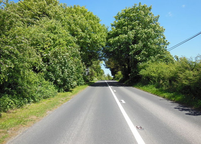
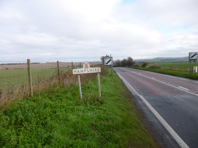
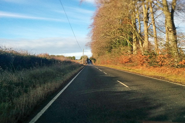
Lopcombe is a small village located in the county of Hampshire, England. Situated in the picturesque Test Valley, it is nestled between the towns of Salisbury and Andover. The village is characterized by its peaceful and rural atmosphere, making it an ideal destination for those seeking tranquility and natural beauty.

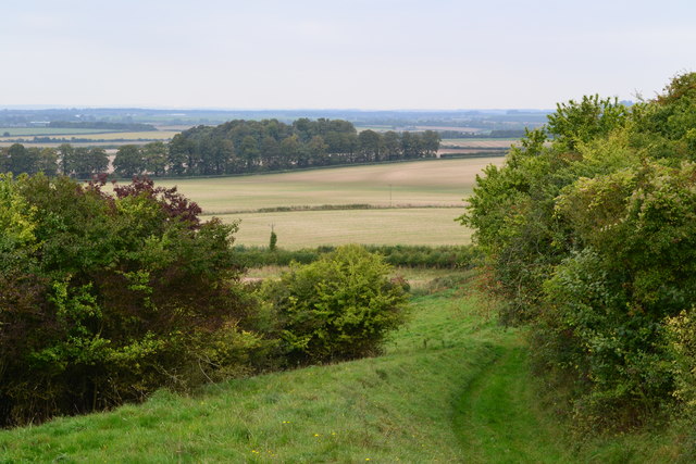
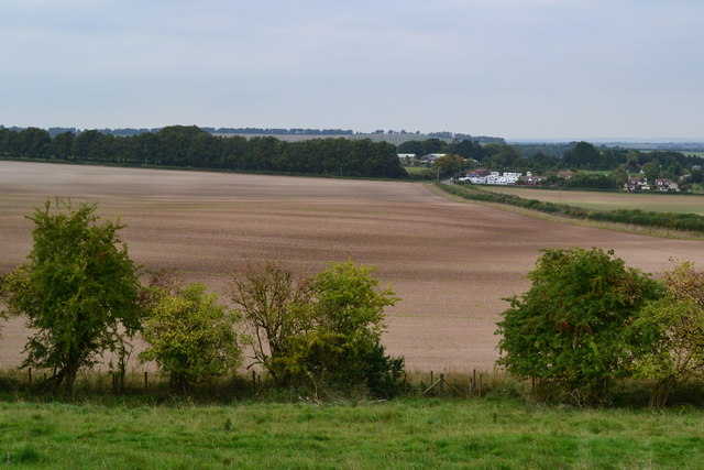
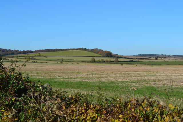
Lopcombe is home to a tight-knit community, with a population of around 300 residents. The village is known for its charming thatched-roof cottages and traditional architecture, which add to its timeless appeal. The surrounding countryside offers breathtaking views of rolling hills, lush green pastures, and meandering rivers, making it a popular spot for outdoor enthusiasts.

One of the notable landmarks in Lopcombe is the St. Peter's Church, a stunning medieval structure that serves as a religious and historical focal point for the village. The church's architecture showcases a mix of Norman and Gothic styles, while its interior features ornate stained glass windows and intricate woodwork.

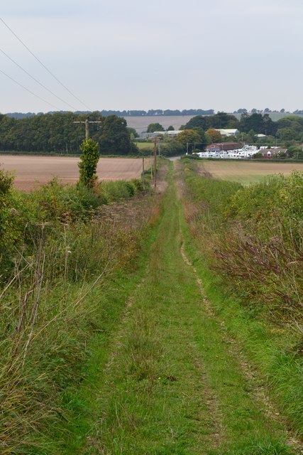
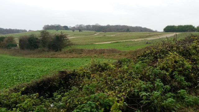
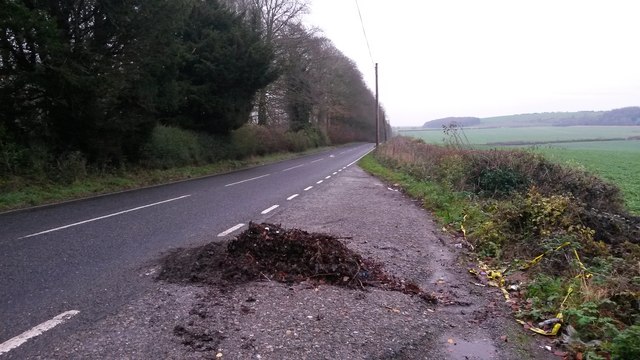
For those seeking recreational activities, Lopcombe is surrounded by numerous walking trails and cycling routes that allow visitors to explore the area's natural beauty. The village is also within close proximity to several nature reserves and country parks, including the nearby Test Valley and Clarendon Way.

Although Lopcombe may be small in size, it offers a close-knit community, stunning rural landscapes, and a rich history, making it a delightful destination for both residents and visitors alike.

If you have any feedback on the listing, please let us know in the comments section below.
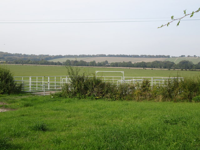
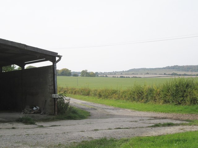
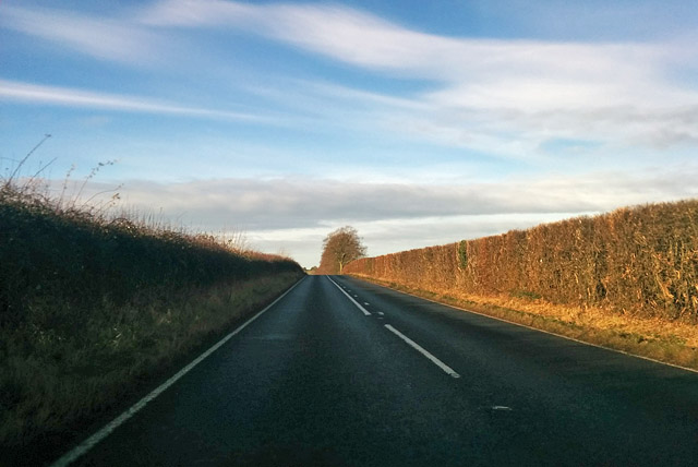
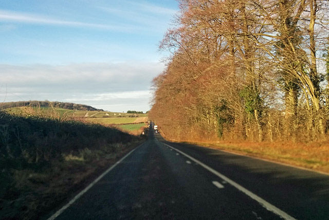
Lopcombe Images

Images are sourced within 2km of 51.126989/-1.6164534 or Grid Reference SU2636. Thanks to Geograph Open Source API. All images are credited.

Farmland off the A30
Brown Hare on byway near Palestine There are many hares in this area of farmland and military land.
Brown Hare on byway near Palestine
There are many hares in this area of farmland and military land.
The A30 eastbound towards Stockbridge
Footpath on downs near Bussle Wood
Grassy track towards Hollom Down Farm The yard full of caravans is on the far side of the A30.
Grassy track towards Hollom Down Farm
The yard full of caravans is on the far side of the A30.
View over bare field below Bussle Wood
Lopcombe Corner, boundary post On A343; the post's Wiltshire counterpart is a few metres to the West. There appears to be no sign of the by-way shown on OS, which should be here to the left.
Lopcombe Corner, boundary post
On A343; the post's Wiltshire counterpart is a few metres to the West. There appears to be no sign of the by-way shown on OS, which should be here to the left.
Lopcombe Corner, warning sign On A343, at the boundary of MoD property, though activity in the field looks agricultural.
Lopcombe Corner, warning sign
On A343, at the boundary of MoD property, though activity in the field looks agricultural.
Motocross track in field south of the A30 near Lopcombe Corner
Layby on A30 near Lopcombe Corner Not the most convenient location to dump a pile of autumn leaves!
Layby on A30 near Lopcombe Corner
Not the most convenient location to dump a pile of autumn leaves!
View of Hollom Down Farm
Barn at Hollom Down Farm
A30 towards Salisbury
Fields west of Nether Wallop, with Suddern Hill in the distance
Barn beside restricted byway
Show me another place!

Lopcombe is located at Grid Ref: SU2636 (Lat: 51.126989, Lng: -1.6164534)

Administrative County: Hampshire

District: Test Valley

Police Authority: Hampshire

What 3 Words

///overdone.reach.another. Near Middle Winterslow, Wiltshire

Nearby Locations

Lopcombe

Related Wikis

Ashleys Copse

Ashley's Copse is the site of an Iron Age hillfort, about 8 miles (13 km) northeast of the city of Salisbury, England, straddling the border between the...

Over Wallop

Over Wallop is a small village and civil parish in the Test Valley district of Hampshire, England. The village lies close to the border with Wiltshire...

Middle Wallop

Middle Wallop is a village in the civil parish of Nether Wallop in Hampshire, England, on the A343 road. At the 2011 Census the population was included...

Nether Wallop

Nether Wallop is a village and civil parish in the Test Valley district of Hampshire, England. It is located approximately 3.7 miles (6 km) northwest of...
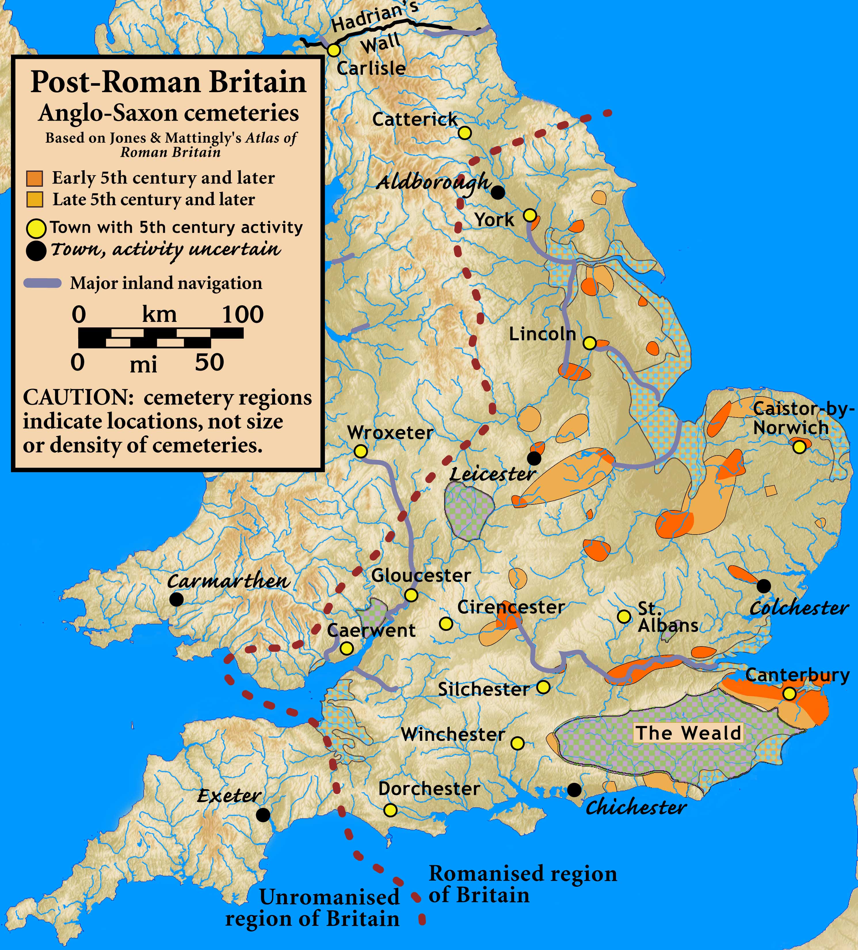
Battle of Guoloph

The Battle of Guoloph, also known as the Battle of Wallop, took place in the 5th century. Various dates have been put forward: 440 AD by Alfred Anscombe...

Porton Down SSSI

Porton Down SSSI is a 1,559-hectare (3,850-acre) biological Site of Special Scientific Interest which spans the border between Hampshire and Wiltshire...

Broughton Down

Broughton Down is a 45.8-hectare (113-acre) biological Site of Special Scientific Interest west of Broughton in Hampshire. The eastern half is a nature...

Army Flying Museum

The Army Flying Museum, previously known as the Museum of Army Flying, is a British military aviation museum about the history of flying in the British...

Nearby Amenities

Located within 500m of 51.126989,-1.6164534
Bus Stop
Jack's Bush Farm
Naptan AtcoCode: 1900HA100255
Naptan Bearing: SW
Naptan CommonName: Jack's Bush Farm
Naptan NaptanCode: hamagjgw
Naptan Street: A343
Naptan Verified: no
Source: naptan_import
Lat/Long: 51.1291179/-1.6188191
Bus Stop
Jack's Bush Farm
Naptan AtcoCode: 1900HA100256
Naptan Bearing: NE
Naptan CommonName: Jack's Bush Farm
Naptan NaptanCode: hamagjma
Naptan Street: A343
Naptan Verified: no
Source: naptan_import
Lat/Long: 51.1292255/-1.6187324
Jacks Bush Forge
Addr City: Lopcombe Corner
Addr Housename: Jacks Bush Farm
Addr Postcode: SP5 1BZ
Addr Street: A343
Craft: handicraft
Website: http://www.jacksbushforge.co.uk/index.html
Lat/Long: 51.1291333/-1.619392
Power: pole
Source: Bing
Lat/Long: 51.1294378/-1.6204806
Power: pole
Source: Bing
Lat/Long: 51.1274969/-1.6215428
Power: pole
Source: Bing
Lat/Long: 51.1251015/-1.6225915
Power: pole
Source: Bing
Lat/Long: 51.1244517/-1.622326
Power: pole
Source: Bing
Lat/Long: 51.1265493/-1.6232486
Power: pole
Source: Bing
Lat/Long: 51.1288386/-1.6202312
Power: pole
Source: Bing
Lat/Long: 51.127135/-1.621414
Power: pole
Source: Bing
Lat/Long: 51.125721/-1.6228919
Power: pole
Source: Bing
Lat/Long: 51.1286568/-1.6208588
Power: pole
Lat/Long: 51.1269066/-1.6163881
Barrier: height_restrictor
Maxheight: 2
Lat/Long: 51.1259172/-1.6154014
Power: pole
Lat/Long: 51.1277655/-1.6175733
Power: pole
Lat/Long: 51.1281982/-1.6181575
Power: pole
Lat/Long: 51.1265215/-1.6157892
Power: pole
Lat/Long: 51.1286026/-1.6188095
Power: pole
Lat/Long: 51.1273184/-1.6169935
The data included in this document is from www.openstreetmap.org. The data is made available under ODbL.

Have you been to Lopcombe?

Leave your review of Lopcombe below (or comments, questions and feedback).