Lonbuie

Settlement in Inverness-shire

Scotland

Lonbuie

Home Farm, Beaufort Estate The farm steading includes several houses, sheds, and a tall silo.
It is a Category B listed building. <span class="nowrap"><a title="https://portal.historicenvironment.scot/designation/LB8073" rel="nofollow ugc noopener" href="https://portal.historicenvironment.scot/designation/LB8073">Link</a><img style="margin-left:2px;" alt="External link" title="External link - shift click to open in new window" src="https://s1.geograph.org.uk/img/external.png" width="10" height="10"/></span>
Home Farm, Beaufort Estate Credit: Craig Wallace

Lonbuie is a small village located in the historic county of Inverness-shire, in the Scottish Highlands. Situated approximately 7 miles west of the town of Inverness, this charming rural settlement offers a picturesque setting surrounded by scenic landscapes and rolling hills.

The village is known for its tranquil atmosphere and natural beauty, making it an ideal destination for those seeking a peaceful retreat. The surrounding area boasts an abundance of wildlife, including red deer, ospreys, and golden eagles, making it a haven for nature enthusiasts and birdwatchers.

Lonbuie is also well-positioned for outdoor activities, with numerous walking trails and hiking opportunities available in the nearby Glen Affric and Glen Strathfarrar. These areas are renowned for their stunning views, ancient Caledonian forests, and sparkling lochs, providing visitors with ample opportunities to immerse themselves in the beauty of the Scottish Highlands.

Although Lonbuie is a small village, it is conveniently located within a short distance of amenities. Inverness, the capital of the Highlands, is easily accessible and offers a range of services, including shops, restaurants, and cultural attractions. Additionally, the village is in close proximity to Loch Ness, famous for its mythical monster, and offers opportunities for boating and water sports.

In summary, Lonbuie is a tranquil village situated in the heart of the Scottish Highlands, offering a peaceful escape surrounded by stunning natural scenery and abundant wildlife. With its proximity to Inverness and various outdoor activities, it is an excellent destination for those seeking both relaxation and adventure.

If you have any feedback on the listing, please let us know in the comments section below.
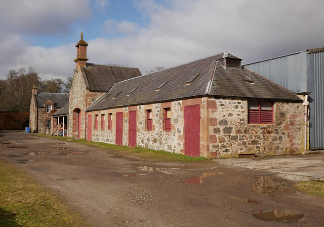
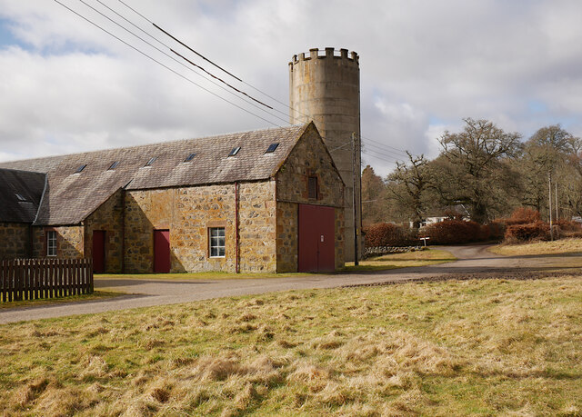
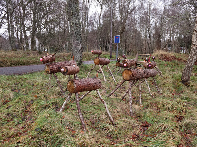
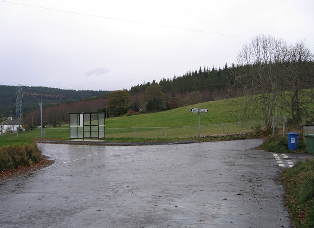
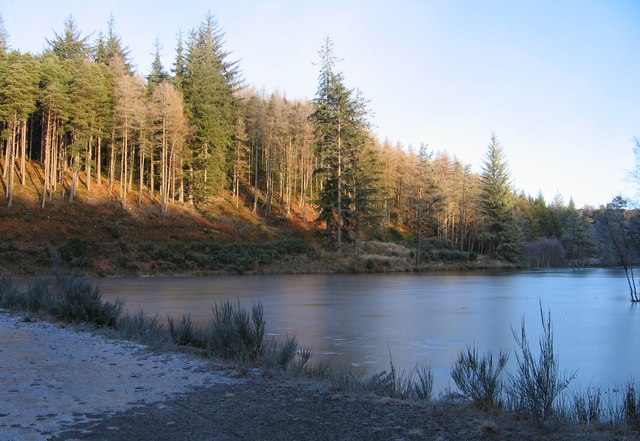
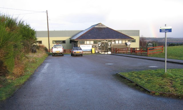
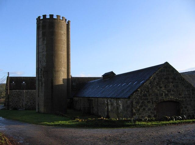
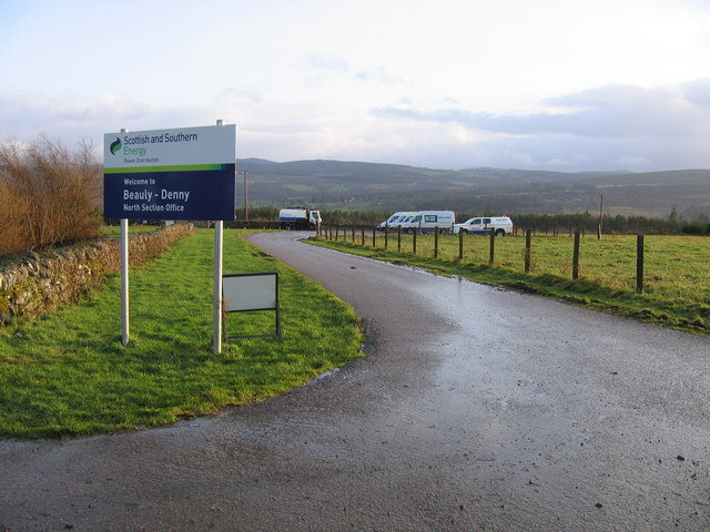
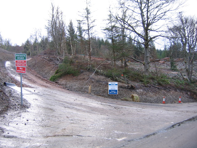
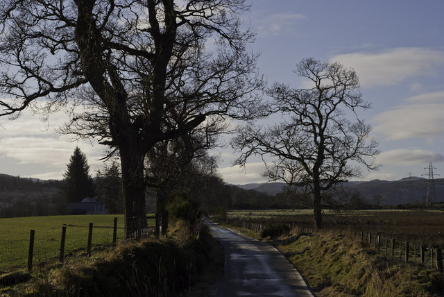
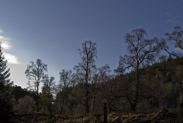
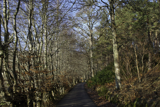
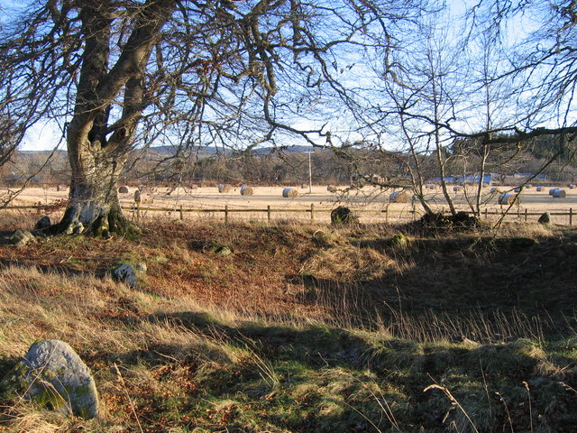
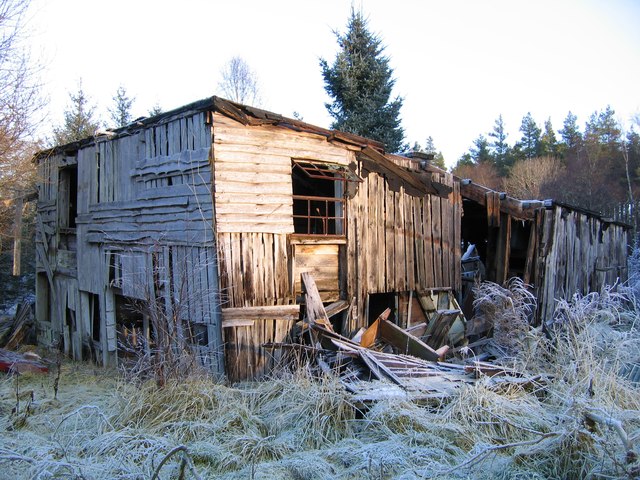
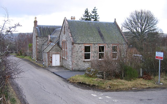
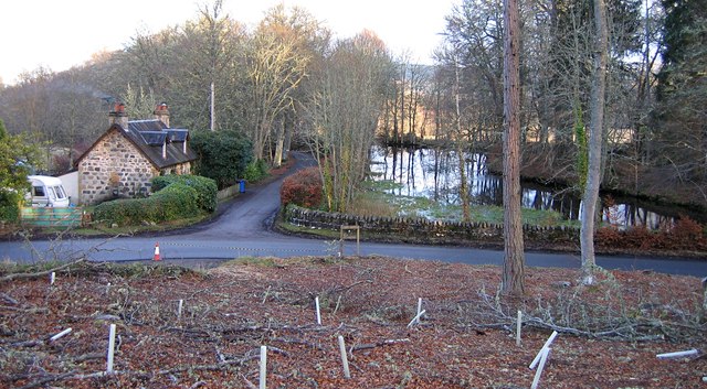
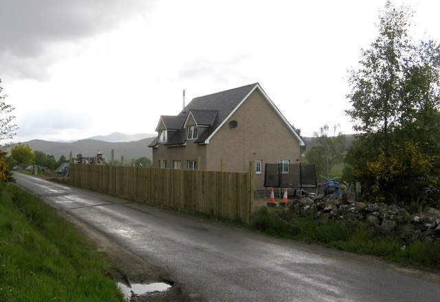
Lonbuie Images

Images are sourced within 2km of 57.443769/-4.5191871 or Grid Reference NH4842. Thanks to Geograph Open Source API. All images are credited.

Home Farm, Beaufort Estate The farm steading includes several houses, sheds, and a tall silo.
It is a Category B listed building. <span class="nowrap"><a title="https://portal.historicenvironment.scot/designation/LB8073" rel="nofollow ugc noopener" href="https://portal.historicenvironment.scot/designation/LB8073">Link</a><img style="margin-left:2px;" alt="External link" title="External link - shift click to open in new window" src="https://s1.geograph.org.uk/img/external.png" width="10" height="10"/></span>
Home Farm, Beaufort Estate
The farm steading includes several houses, sheds, and a tall silo. It is a Category B listed building. LinkExternal link
Home Farm, Beaufort Estate Several sheds and a tall silo.
It is a Category B listed building. <span class="nowrap"><a title="https://portal.historicenvironment.scot/designation/LB8073" rel="nofollow ugc noopener" href="https://portal.historicenvironment.scot/designation/LB8073">Link</a><img style="margin-left:2px;" alt="External link" title="External link - shift click to open in new window" src="https://s1.geograph.org.uk/img/external.png" width="10" height="10"/></span>
Home Farm, Beaufort Estate
Several sheds and a tall silo. It is a Category B listed building. LinkExternal link
Reindeer, Culburnie A group of wooden reindeer and a sleigh, next to the Kinerras road.
Reindeer, Culburnie
A group of wooden reindeer and a sleigh, next to the Kinerras road.
Hughton crossroads This junction was widened a few months ago, to allow for construction traffic for the Beauly-Denny power line. The junction priorities were changed, and the bus stop was moved over a bit.
See a previous view at this junction: <a href="https://www.geograph.org.uk/photo/446357">NH4741 : Bus stop, Hughton</a>
Hughton crossroads
This junction was widened a few months ago, to allow for construction traffic for the Beauly-Denny power line. The junction priorities were changed, and the bus stop was moved over a bit. See a previous view at this junction: NH4741 : Bus stop, Hughton
Frozen lochan in Ruttle Wood A track runs down the hill from Fanellan, past this lochan/pond, then towards the Eilean Aigas driveway. A few parts of the track were covered with ice today.
This lochan isn't marked on the OS 1:50,000 or 1:25,000 maps. Maybe it has been created fairly recently.
Frozen lochan in Ruttle Wood
A track runs down the hill from Fanellan, past this lochan/pond, then towards the Eilean Aigas driveway. A few parts of the track were covered with ice today. This lochan isn't marked on the OS 1:50,000 or 1:25,000 maps. Maybe it has been created fairly recently.
Former Lovat Mineral Water bottling plant This was built in about 1991 as the bottling plant for Lovat Mineral Water, including a visitor centre.The bottling plant closed in about 2001, reportedly because the spring had dried up.
Since then the site has been used by several other businesses, including one working on extracting oil from bog myrtle for use in cosmetics.

Since the middle of 2011, it has been used as the site office and stores for the Beauly-Denny Power Line, with Balfour Beatty Utility Solutions as the main contractor. It seems there's not much happening here on a Saturday.
Former Lovat Mineral Water bottling plant
This was built in about 1991 as the bottling plant for Lovat Mineral Water, including a visitor centre.The bottling plant closed in about 2001, reportedly because the spring had dried up. Since then the site has been used by several other businesses, including one working on extracting oil from bog myrtle for use in cosmetics. Since the middle of 2011, it has been used as the site office and stores for the Beauly-Denny Power Line, with Balfour Beatty Utility Solutions as the main contractor. It seems there's not much happening here on a Saturday.
Home Farm, on the Beaufort Estate The steading is a Category B listed building, dating from 1858. See the Historic Scotland report: <span class="nowrap"><a title="https://portal.historicenvironment.scot/designation/LB8073" rel="nofollow ugc noopener" href="https://portal.historicenvironment.scot/designation/LB8073">Link</a><img style="margin-left:2px;" alt="External link" title="External link - shift click to open in new window" src="https://s1.geograph.org.uk/img/external.png" width="10" height="10"/></span>

In 2004, plans were announced to build a golf course on the Beaufort Estate, with Home Farm becoming a country club. It seems this proposal was later abandoned.

For another view, see <a href="https://www.geograph.org.uk/photo/3803360">NH4942 : Home Farm, Beaufort Estate</a>
Home Farm, on the Beaufort Estate
The steading is a Category B listed building, dating from 1858. See the Historic Scotland report: LinkExternal link In 2004, plans were announced to build a golf course on the Beaufort Estate, with Home Farm becoming a country club. It seems this proposal was later abandoned. For another view, see NH4942 : Home Farm, Beaufort Estate
Beauly - Denny North Section Office Driveway to the former Lovat Mineral Water bottling plant, see <a href="https://www.geograph.org.uk/photo/2754792">NH4842 : Former Lovat Mineral Water bottling plant</a>
Now in use as the site office and stores for the Beauly-Denny Power Line. Not much happening here on a Saturday, just a few Balfour Beatty vehicles parked.
Beauly - Denny North Section Office
Driveway to the former Lovat Mineral Water bottling plant, see NH4842 : Former Lovat Mineral Water bottling plant Now in use as the site office and stores for the Beauly-Denny Power Line. Not much happening here on a Saturday, just a few Balfour Beatty vehicles parked.
Track 5, BF13 - BF21 A recently constructed track near Hughton, for construction access for the Beauly - Denny Power Line. The area of woods to the right has been felled recently.

Also see <a href="https://www.geograph.org.uk/photo/2759092">NH4539 : Track 8, BF21/1 - BF28</a>
Track 5, BF13 - BF21
A recently constructed track near Hughton, for construction access for the Beauly - Denny Power Line. The area of woods to the right has been felled recently. Also see NH4539 : Track 8, BF21/1 - BF28
Minor road at Fanellan
Birches in Aigas Woods
Track to Eileanaigas House
Bruiach ring cairn This in amongst some trees, beside the road near Kiltarlity village.
It is the remains of some sort of ring cairn, one of the group of Clava cairns. There is a hollow with a kerb of stones around it, as well as an outer ring of standing stones. The rest of the cairn material has been removed. Apparently the inner hollow was once dug out to create a pond.

More details on the Highland Council Historic Environment Record: <span class="nowrap"><a title="http://her.highland.gov.uk/SingleResult.aspx?uid=MHG2739" rel="nofollow ugc noopener" href="http://her.highland.gov.uk/SingleResult.aspx?uid=MHG2739">Link</a><img style="margin-left:2px;" alt="External link" title="External link - shift click to open in new window" src="https://s1.geograph.org.uk/img/external.png" width="10" height="10"/></span>
Bruiach ring cairn
This in amongst some trees, beside the road near Kiltarlity village. It is the remains of some sort of ring cairn, one of the group of Clava cairns. There is a hollow with a kerb of stones around it, as well as an outer ring of standing stones. The rest of the cairn material has been removed. Apparently the inner hollow was once dug out to create a pond. More details on the Highland Council Historic Environment Record: LinkExternal link
Teanacoil Sawmill This building was the main accommodation block for the sawmill. It was the only building still standing, though parts of it were falling down.

As of August 2012, this building has been demolished, see <a href="https://www.geograph.org.uk/photo/3079254">NH4940 : Teanacoil Sawmill demolished</a>
Teanacoil Sawmill
This building was the main accommodation block for the sawmill. It was the only building still standing, though parts of it were falling down. As of August 2012, this building has been demolished, see NH4940 : Teanacoil Sawmill demolished
Old bridge over the Black Burn This is the old track leading to Teanacoil Sawmill. The bridge was falling into disrepair, and fenced off with a "Danger Keep Out" sign. The main beams of the bridge still seem pretty solid, so it was possible to carefully walk across.

The bridge has since been rebuilt and repaired, see <a href="https://www.geograph.org.uk/photo/3081041">NH4940 : Bridge over the Black Burn</a>
Old bridge over the Black Burn
This is the old track leading to Teanacoil Sawmill. The bridge was falling into disrepair, and fenced off with a "Danger Keep Out" sign. The main beams of the bridge still seem pretty solid, so it was possible to carefully walk across. The bridge has since been rebuilt and repaired, see NH4940 : Bridge over the Black Burn
Old caravan at Teanacoil Sawmill This caravan has been here for a number of years, and it is now in rather poor condition.
It would be rather difficult to remove it now, as much of the surrounding area is overgrown with bushes and trees.
Old caravan at Teanacoil Sawmill
This caravan has been here for a number of years, and it is now in rather poor condition. It would be rather difficult to remove it now, as much of the surrounding area is overgrown with bushes and trees.
Old Culburnie School This was once one of a number of primary schools in Kiltarlity. It opened sometime in the 19th century, and was originally a Free Church school. It was later transferred to the local school board, but following dwindling rolls, the school closed in about 1968.
Now the only school in Kiltarlity is at Tomnacross, <a href="https://www.geograph.org.uk/photo/1554993">NH5141 : Tomnacross Primary School</a>.
Old Culburnie School
This was once one of a number of primary schools in Kiltarlity. It opened sometime in the 19th century, and was originally a Free Church school. It was later transferred to the local school board, but following dwindling rolls, the school closed in about 1968. Now the only school in Kiltarlity is at Tomnacross, NH5141 : Tomnacross Primary School.
Mid Lodge, by the pond The public road runs from left to right, with a driveway to Beaufort Castle branching off between the pond and the lodge. Mid Lodge dates from the 19th century, and used to be known as West Lodge. It is a Category C listed building: <span class="nowrap"><a title="http://portal.historicenvironment.scot/designation/LB8070" rel="nofollow ugc noopener" href="http://portal.historicenvironment.scot/designation/LB8070">Link</a><img style="margin-left:2px;" alt="External link" title="External link - shift click to open in new window" src="https://s1.geograph.org.uk/img/external.png" width="10" height="10"/></span>

In the foreground is an area of beech woodland. Much of this was felled last year, and has now been replanted.
Mid Lodge, by the pond
The public road runs from left to right, with a driveway to Beaufort Castle branching off between the pond and the lodge. Mid Lodge dates from the 19th century, and used to be known as West Lodge. It is a Category C listed building: LinkExternal link In the foreground is an area of beech woodland. Much of this was felled last year, and has now been replanted.
Show me another place!

Lonbuie is located at Grid Ref: NH4842 (Lat: 57.443769, Lng: -4.5191871)

Unitary Authority: Highland

Police Authority: Highlands and Islands

What 3 Words

///snug.ranked.headstone. Near Beauly, Highland

Nearby Locations

Fanellan Lonbuie

Related Wikis

Culburnie, Highland

Culburnie (Scottish Gaelic: Cùil Braonaigh, Scots: Chainry) is a scattered hamlet near in the Highland council area of Scotland. It is 1.2 miles (2 km...

Kiltarlity

Kiltarlity (Scottish Gaelic: Cill Targhlain) is a small village in the Highland council area of Scotland. It is 12 miles (19 km) west of Inverness and...

Beaufort Castle, Scotland

Beaufort Castle or Castle Dounie (Scottish Gaelic: Caisteal Dhùnaidh) is a Baronial style mansion built in 1880 and incorporating older building work....

Eilean Aigas

Eilean Aigas (NH4641) (Scottish Gaelic: Eilean Àigeis) is an island in the River Beauly, Scotland, in Kiltarlity parish in traditional Inverness-shire...

Related Videos

River Beauly

Monday 31st May by the shore of the River Beauly.

Rare wildcats, busy beavers and elusive pine martens | Exploring Aigas Field Centre

Trail cameras reveal the stunning variety of wildlife at Aigas Field Centre, enabling us to catch a glimpse of pine martens, Scottish ...

Nearby Amenities

Located within 500m of 57.443769,-4.5191871
Lonbuie
Place: hamlet
Lat/Long: 57.4436308/-4.5194203
Addr Hamlet: Culburnie
Addr Housenumber: 16
Lat/Long: 57.4393657/-4.5195488
Power: pole
Lat/Long: 57.4439566/-4.5210452
Power: pole
Lat/Long: 57.4443246/-4.5221089
Power: pole
Lat/Long: 57.4447578/-4.5233507
Power: pole
Lat/Long: 57.4452234/-4.522697
Power: pole
Lat/Long: 57.4442541/-4.5240783
Power: pole
Lat/Long: 57.443764/-4.5249924
Power: pole
Lat/Long: 57.4431979/-4.5261165
Power: pole
Lat/Long: 57.442706/-4.5270441
Power: pole
Lat/Long: 57.4456864/-4.5220282
Power: pole
Lat/Long: 57.4463736/-4.5223324
Power: pole
Lat/Long: 57.4471195/-4.522655
Power: pole
Lat/Long: 57.4477832/-4.5229591
The data included in this document is from www.openstreetmap.org. The data is made available under ODbL.

Have you been to Lonbuie?

Leave your review of Lonbuie below (or comments, questions and feedback).