Little Minsterley

Settlement in Shropshire

England

Little Minsterley

The Old Toll House, Minsterley Yet another view of the charming Grade-II (LB1176024: <span class="nowrap"><a title="https://historicengland.org.uk/listing/the-list/list-entry/1176024" rel="nofollow ugc noopener" href="https://historicengland.org.uk/listing/the-list/list-entry/1176024">Link</a><img style="margin-left:2px;" alt="External link" title="External link - shift click to open in new window" src="https://s1.geograph.org.uk/img/external.png" width="10" height="10"/></span> ) Gothick dwelling, which once collected tolls on the Minsterley to Worthen turnpike.  Unfortunately, the front door opens right onto the street so it must be entered or exited with care.
The Old Toll House, Minsterley Credit: Bill Harrison

Little Minsterley is a quaint village situated in the county of Shropshire, England. Located approximately 8 miles southwest of the county town of Shrewsbury, it is nestled in the picturesque countryside of the Shropshire Hills Area of Outstanding Natural Beauty.

The village is home to a close-knit community of around 1,500 residents. It boasts a rich history, with evidence of settlements dating back to the Iron Age. The name "Minsterley" originates from the Old English words "mynster" and "leah," meaning "monastery clearing," indicating the presence of a religious institution in the area in ancient times.

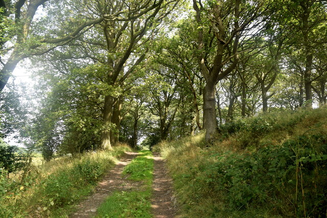
Despite its small size, Little Minsterley offers a range of amenities to its residents, including a primary school, a village hall, a post office, and a convenience store. The local pub, The Crown Inn, serves as a hub for social gatherings and community events. Recreational opportunities abound, with nearby access to the Shropshire Way footpath, which offers stunning views of the surrounding countryside and opportunities for outdoor activities such as hiking and cycling.

The village hosts an annual summer carnival and various events throughout the year, fostering a strong sense of community spirit. Its proximity to the larger town of Shrewsbury ensures access to a wider range of services, entertainment, and employment opportunities.

Little Minsterley's idyllic rural setting, friendly community, and historical charm make it a desirable place to live for those seeking a peaceful and close-knit village lifestyle while still being within reach of urban amenities.

If you have any feedback on the listing, please let us know in the comments section below.

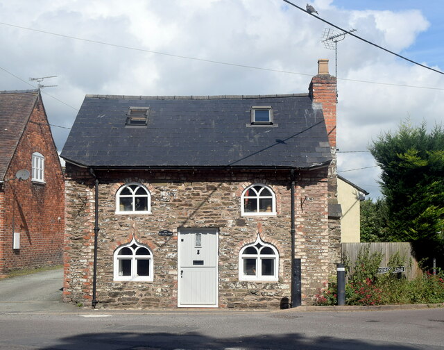
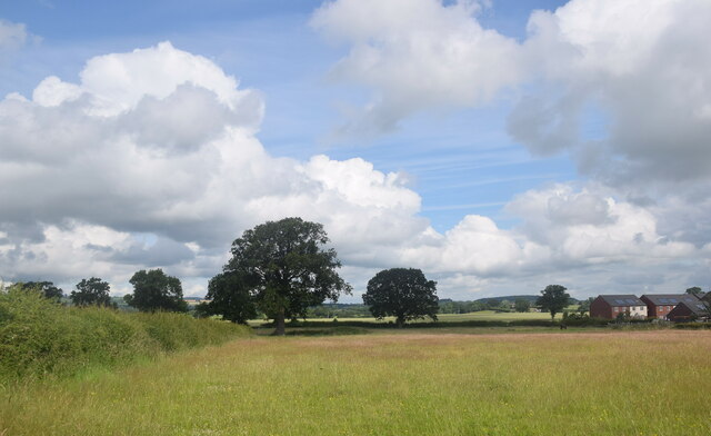
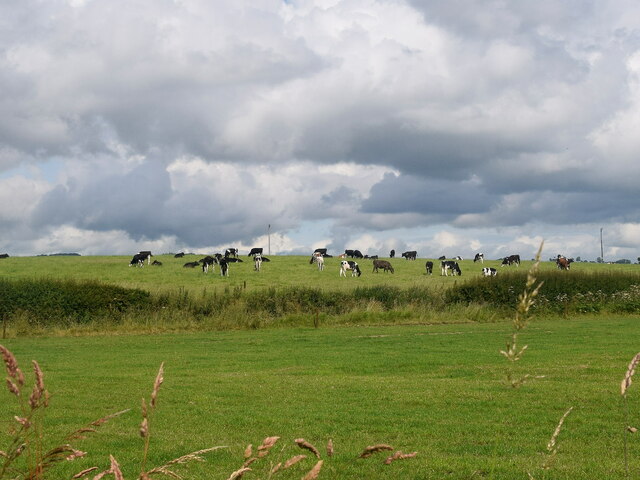
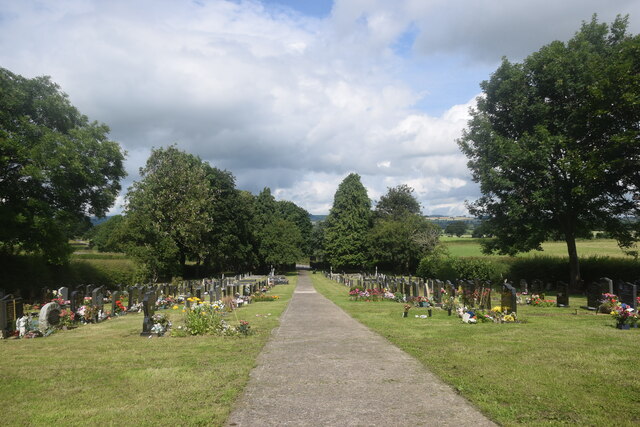
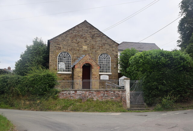
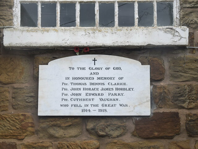
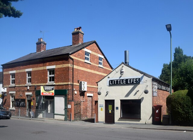
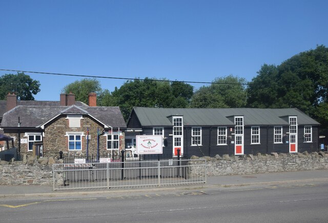
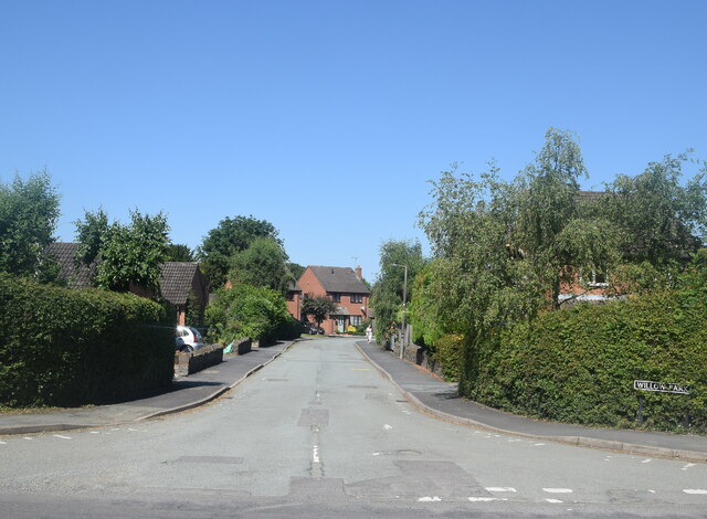
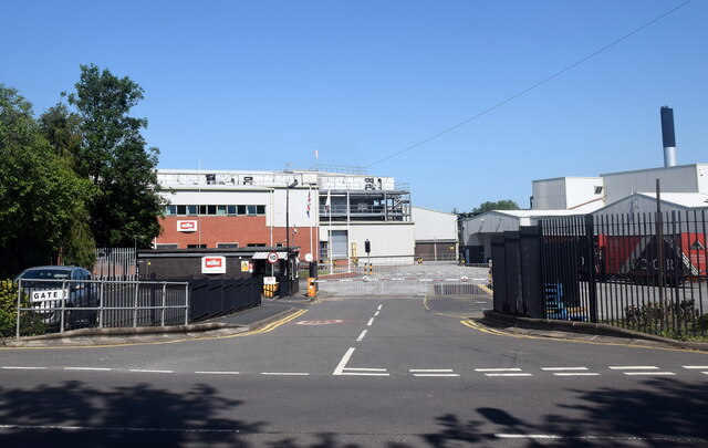
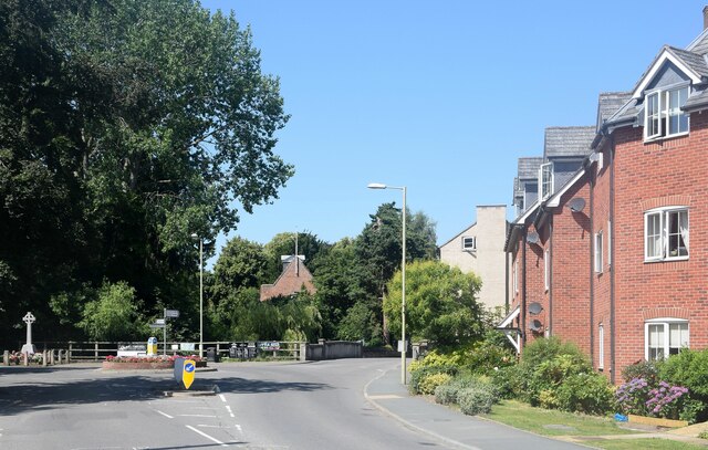
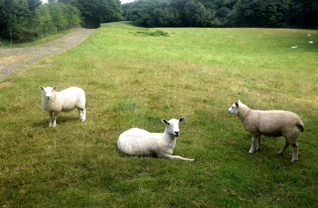
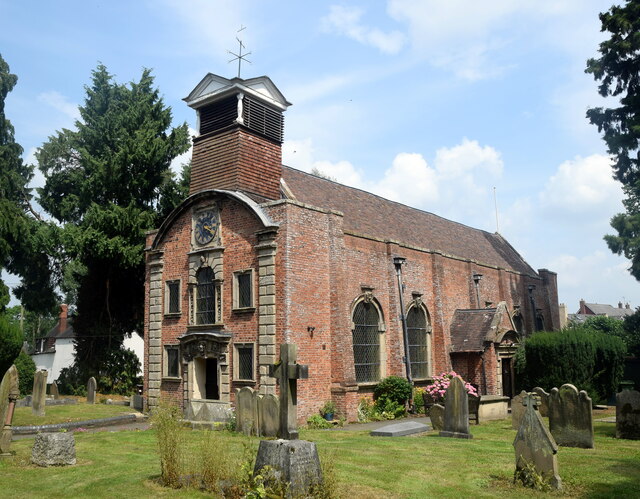
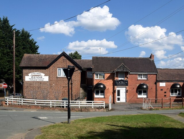
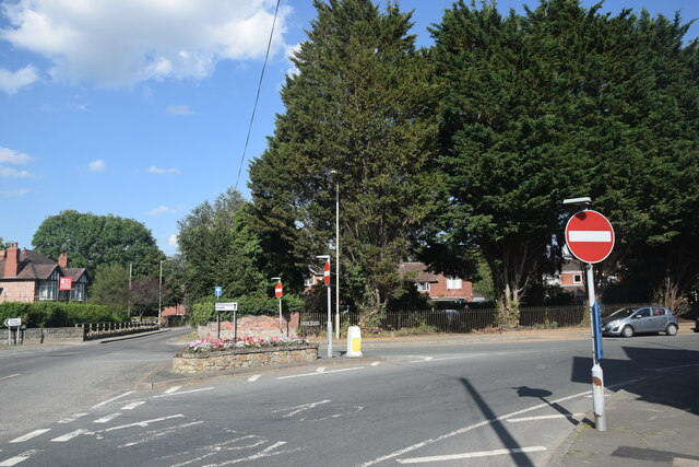
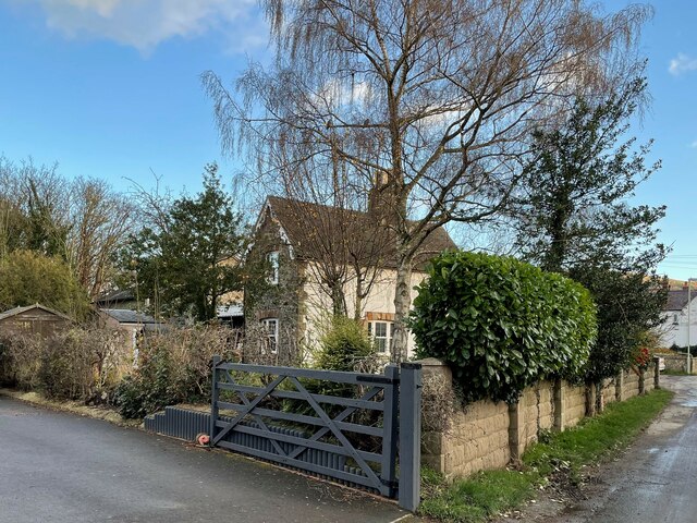
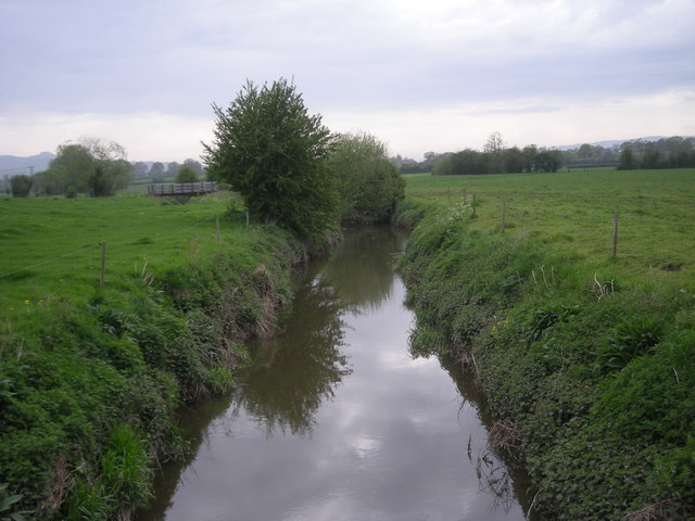
Little Minsterley Images

Images are sourced within 2km of 52.641743/-2.917097 or Grid Reference SJ3805. Thanks to Geograph Open Source API. All images are credited.

The Old Toll House, Minsterley Yet another view of the charming Grade-II (LB1176024: <span class="nowrap"><a title="https://historicengland.org.uk/listing/the-list/list-entry/1176024" rel="nofollow ugc noopener" href="https://historicengland.org.uk/listing/the-list/list-entry/1176024">Link</a><img style="margin-left:2px;" alt="External link" title="External link - shift click to open in new window" src="https://s1.geograph.org.uk/img/external.png" width="10" height="10"/></span> ) Gothick dwelling, which once collected tolls on the Minsterley to Worthen turnpike.  Unfortunately, the front door opens right onto the street so it must be entered or exited with care.
The Old Toll House, Minsterley
Yet another view of the charming Grade-II (LB1176024: LinkExternal link ) Gothick dwelling, which once collected tolls on the Minsterley to Worthen turnpike. Unfortunately, the front door opens right onto the street so it must be entered or exited with care.
Edge of the village New-build houses in Minsterley surrounded (for now) by farmland.
Edge of the village
New-build houses in Minsterley surrounded (for now) by farmland.
Cows grazing under changeable Shropshire skies
Minsterley cemetery Maintained by Shropshire Council with several recent burials evident.
Minsterley cemetery
Maintained by Shropshire Council with several recent burials evident.
Asterley Primitive Methodist Chapel Dating from 1834 and Grade-II listed: LB1055658 <span class="nowrap"><a title="https://historicengland.org.uk/listing/the-list/list-entry/1055658" rel="nofollow ugc noopener" href="https://historicengland.org.uk/listing/the-list/list-entry/1055658">Link</a><img style="margin-left:2px;" alt="External link" title="External link - shift click to open in new window" src="https://s1.geograph.org.uk/img/external.png" width="10" height="10"/></span> .  The interior is original.  The Primitive Methodists split away from the mainstream Methodists in the early 19th Century (<span class="nowrap"><a title="https://en.wikipedia.org/wiki/Primitive_Methodism_in_the_United_Kingdom" rel="nofollow ugc noopener" href="https://en.wikipedia.org/wiki/Primitive_Methodism_in_the_United_Kingdom">Link</a><img style="margin-left:2px;" alt="External link" title="External link - shift click to open in new window" src="https://s1.geograph.org.uk/img/external.png" width="10" height="10"/></span> ) and Primitive Methodists were most likely to be "small farmers, servants, mill workers, colliers, agricultural labourers, weavers and framework knitters."
Asterley Primitive Methodist Chapel
Dating from 1834 and Grade-II listed: LB1055658 LinkExternal link . The interior is original. The Primitive Methodists split away from the mainstream Methodists in the early 19th Century (LinkExternal link ) and Primitive Methodists were most likely to be "small farmers, servants, mill workers, colliers, agricultural labourers, weavers and framework knitters."
War memorial tablet, Asterley Primitive Methodist Chapel
Minsterley businesses The village butcher, the former village shop and Little Efe's kebab house.
Minsterley businesses
The village butcher, the former village shop and Little Efe's kebab house.
Minsterley Primary School As stated on the plaque on the main building, the school was established in 1843 to educate 'all poor children in the township of Minsterley'; the wooden extension was built as long ago as 1933; for more see: <span class="nowrap"><a title="https://minsterleyschool.org.uk/home/about/history/" rel="nofollow ugc noopener" href="https://minsterleyschool.org.uk/home/about/history/">Link</a><img style="margin-left:2px;" alt="External link" title="External link - shift click to open in new window" src="https://s1.geograph.org.uk/img/external.png" width="10" height="10"/></span> .  School roll (2021): 138.
Minsterley Primary School
As stated on the plaque on the main building, the school was established in 1843 to educate 'all poor children in the township of Minsterley'; the wooden extension was built as long ago as 1933; for more see: LinkExternal link . School roll (2021): 138.
Willow Park, Minsterley new builds to the west of the A488 road.
Willow Park, Minsterley
new builds to the west of the A488 road.
Mueller Dairy, Minsterley
Rea Valley corned beef processing plant, Minsterley
Village centre, Minsterley The small roundabout where the B4499 diverges from the A488.  The end of Minsterley parish church can be seen beyond the bridge.
Village centre, Minsterley
The small roundabout where the B4499 diverges from the A488. The end of Minsterley parish church can be seen beyond the bridge.
Forest walk... ...to Poles Coppice.
Forest walk...
...to Poles Coppice.
Shropshire sheep... ...taking it easy on a blisteringly hot summer day in July 2021.
Shropshire sheep...
...taking it easy on a blisteringly hot summer day in July 2021.
Holy Trinity Church, Minsterley The striking red-brick church dates from 1689 and is grade-II* listed (LB1055228 <span class="nowrap"><a title="https://historicengland.org.uk/listing/the-list/list-entry/1055228" rel="nofollow ugc noopener" href="https://historicengland.org.uk/listing/the-list/list-entry/1055228">Link</a><img style="margin-left:2px;" alt="External link" title="External link - shift click to open in new window" src="https://s1.geograph.org.uk/img/external.png" width="10" height="10"/></span> ), where its architecture and history are described in detail.
Holy Trinity Church, Minsterley
The striking red-brick church dates from 1689 and is grade-II* listed (LB1055228 LinkExternal link ), where its architecture and history are described in detail.
Pontesbury takeaways Chinese or Indian... ?
Pontesbury takeaways
Chinese or Indian... ?
Village road junction The A488 bifurcates into a one-way system here and merges back into one the other side of the church.  There are plenty of no entry signs and road markings to keep traffic on the right road.
Village road junction
The A488 bifurcates into a one-way system here and merges back into one the other side of the church. There are plenty of no entry signs and road markings to keep traffic on the right road.
Pontesbury railway station (site), Shropshire Opened in 1861 by the London & North Western Railway on the short branch line from Hanwood to Minsterley, this station closed to passengers in 1951 and completely in 1967.
View north east towards Plealey Road and Shrewsbury. The single railway line crossed left to right in front of the house, now a private residence, and across the road by a level crossing. The single platform was in front of the house, hidden from view. The former goods shed was still extant when this image was taken, and can just be seen behind the trees.
Pontesbury railway station (site), Shropshire
Opened in 1861 by the London & North Western Railway on the short branch line from Hanwood to Minsterley, this station closed to passengers in 1951 and completely in 1967. View north east towards Plealey Road and Shrewsbury. The single railway line crossed left to right in front of the house, now a private residence, and across the road by a level crossing. The single platform was in front of the house, hidden from view. The former goods shed was still extant when this image was taken, and can just be seen behind the trees.
Show me another place!

Little Minsterley is located at Grid Ref: SJ3805 (Lat: 52.641743, Lng: -2.917097)

Unitary Authority: Shropshire

Police Authority: West Merica

What 3 Words

///waggled.jars.plunger. Near Minsterley, Shropshire

Nearby Locations

Little Minsterley

Related Wikis

Minsterley railway station

Minsterley railway station was a terminus station in Minsterley, Shropshire, England. The station was opened in 1861 and closed in 1951. == References... ==

Minsterley

Minsterley is a village and civil parish in Shropshire, England. In the 2011 census, its population was 1,777. Minsterley lies one mile south-west of Pontesbury...

Malehurst

Malehurst is a hamlet in Shropshire, England between the large villages of Pontesbury and Minsterley and north of the small village of Asterley. It is...

Poles Coppice countryside site

Poles Coppice countryside site is an area of ancient oak woodland with disused quarry workings, located around 0.5 miles (1 km) south of Pontesbury, Shropshire...

Nearby Amenities

Located within 500m of 52.641743,-2.917097
Little Minsterley
Is In: Shropshire
Place: hamlet
Source: survey
Lat/Long: 52.6419566/-2.916683
Leisure: playground
Source: survey
Lat/Long: 52.6391018/-2.9192283
Turning Circle
Lat/Long: 52.6406899/-2.9186203
Barrier: bollard
Note: actually four bollards
Lat/Long: 52.6413767/-2.9187518
Grit Bin
Lat/Long: 52.6412207/-2.9196425
Grit Bin
Lat/Long: 52.6399805/-2.920989
Fuel
Texaco
Brand: Texaco
Brand Wikidata: Q775060
Mapillary: 1158425788441955
Operator: Co-op
Source: survey
Survey Date: 2022-09-17
Lat/Long: 52.6409965/-2.9212019
Barrier: bollard
Note: actually four bollards
Lat/Long: 52.6409477/-2.9209106
Post Box
Post Box Type: lamp
Ref: SY5 605
Lat/Long: 52.6414384/-2.9183835
Barrier: stile
Step Count: 2
Stile: stepover
Lat/Long: 52.6421245/-2.9130394
Barrier: stile
Step Count: 2
Stile: stepover
Lat/Long: 52.6430048/-2.910898
Barrier: stile
Step Count: 2
Stile: stepover
Lat/Long: 52.6420953/-2.915955
Source: survey
Waterway: weir
Lat/Long: 52.643026/-2.9232211
Barrier: stile
Step Count: 2
Stile: stepover
Lat/Long: 52.6449644/-2.9186227
Barrier: stile
Step Count: 2
Stile: stepover
Lat/Long: 52.6461604/-2.9161361
Power: substation
Source: survey
Lat/Long: 52.6404691/-2.9230775
Give Way
Direction: forward
Lat/Long: 52.6425997/-2.9164314
Give Way
Direction: backward
Lat/Long: 52.644593/-2.9134655
Give Way
Direction: forward
Lat/Long: 52.6446345/-2.9133359
Fast Food
Friends
Lat/Long: 52.6411547/-2.9208995
Generator Method: photovoltaic
Generator Output Electricity: yes
Generator Source: solar
Generator Type: solar_photovoltaic_panel
Location: roof
Power: generator
Lat/Long: 52.6394193/-2.919492
Generator Method: photovoltaic
Generator Output Electricity: yes
Generator Source: solar
Generator Type: solar_photovoltaic_panel
Location: roof
Power: generator
Lat/Long: 52.6396276/-2.9208009
Generator Method: photovoltaic
Generator Output Electricity: yes
Generator Source: solar
Generator Type: solar_photovoltaic_panel
Location: roof
Power: generator
Lat/Long: 52.6397285/-2.9211456
Generator Method: photovoltaic
Generator Output Electricity: yes
Generator Source: solar
Generator Type: solar_photovoltaic_panel
Location: roof
Power: generator
Lat/Long: 52.6395658/-2.9223284
Generator Method: photovoltaic
Generator Output Electricity: yes
Generator Source: solar
Generator Type: solar_photovoltaic_panel
Location: roof
Power: generator
Lat/Long: 52.6394274/-2.9223633
Power: pole
Lat/Long: 52.6455119/-2.9176922
Location Transition: yes
Power: pole
Lat/Long: 52.6442035/-2.9192881
Power: pole
Lat/Long: 52.6448537/-2.9185009
Power: pole
Lat/Long: 52.6457911/-2.9138848
Power: pole
Lat/Long: 52.6453354/-2.9147056
Power: pole
Lat/Long: 52.6449204/-2.9154539
Power: pole
Lat/Long: 52.6442922/-2.9166073
Power: pole
Lat/Long: 52.644031/-2.9178773
Power: pole
Lat/Long: 52.6437877/-2.9191044
Give Way
Direction: backward
Lat/Long: 52.6386757/-2.9188827
Crossing
Crossing: unmarked
Crossing Island: no
Crossing Markings: no
Tactile Paving: yes
Lat/Long: 52.6379118/-2.9198374
Give Way
Direction: backward
Lat/Long: 52.6393078/-2.9221171
Noexit: yes
Lat/Long: 52.6407074/-2.9211261
Man Made: utility_pole
Lat/Long: 52.6446004/-2.9208762
The data included in this document is from www.openstreetmap.org. The data is made available under ODbL.

Have you been to Little Minsterley?

Leave your review of Little Minsterley below (or comments, questions and feedback).