Listoke

Settlement in Somerset Somerset West and Taunton

England

Listoke

Signpost by Rock Hill SCC signpost near Rock Hill
Signpost by Rock Hill Credit: Kevin Pearson

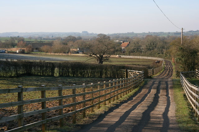
Listoke is a small village located in the county of Somerset, England. Situated in the picturesque countryside, Listoke is known for its charming rural setting and peaceful atmosphere. The village is located about 7 miles east of the county town of Taunton, making it easily accessible for both residents and visitors.

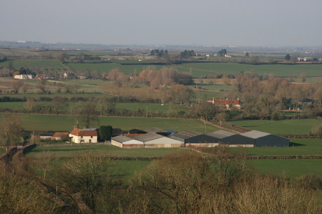
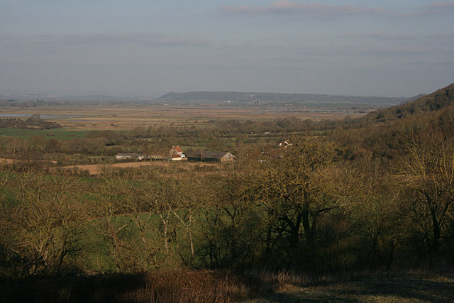
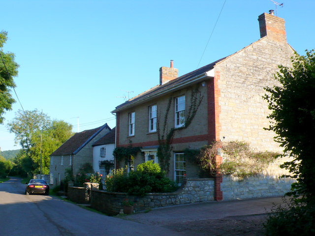
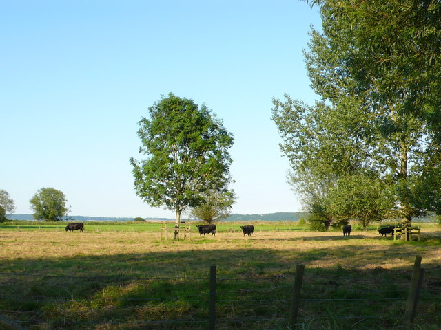
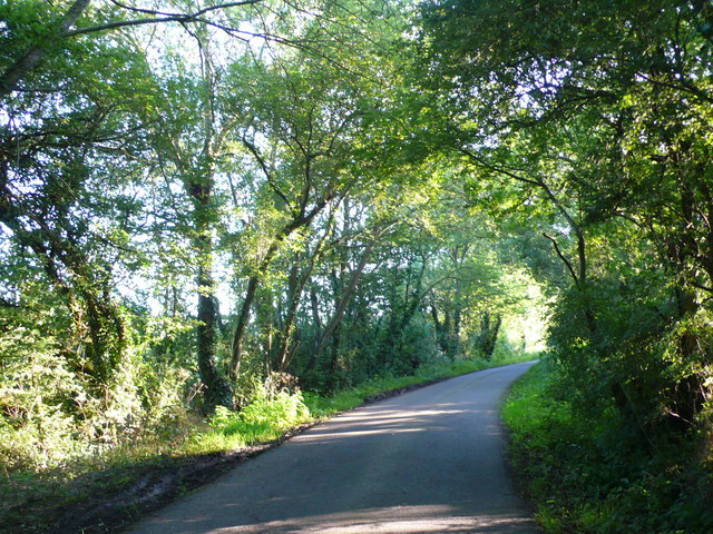
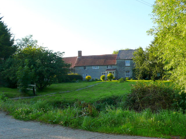
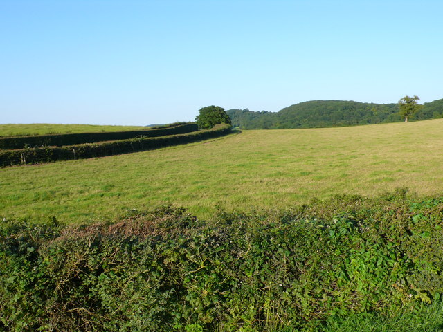
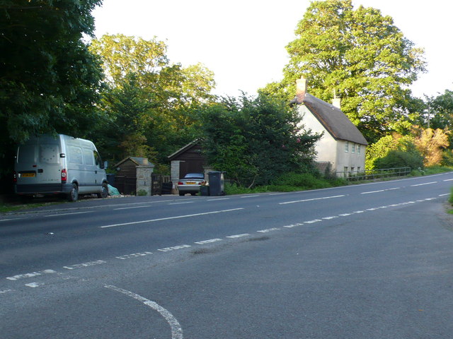
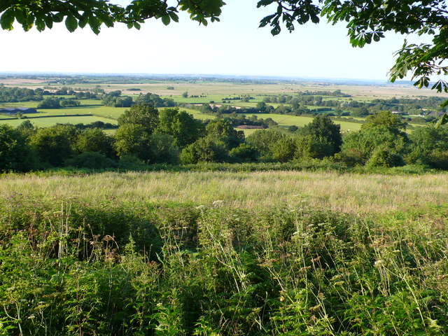
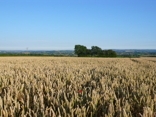
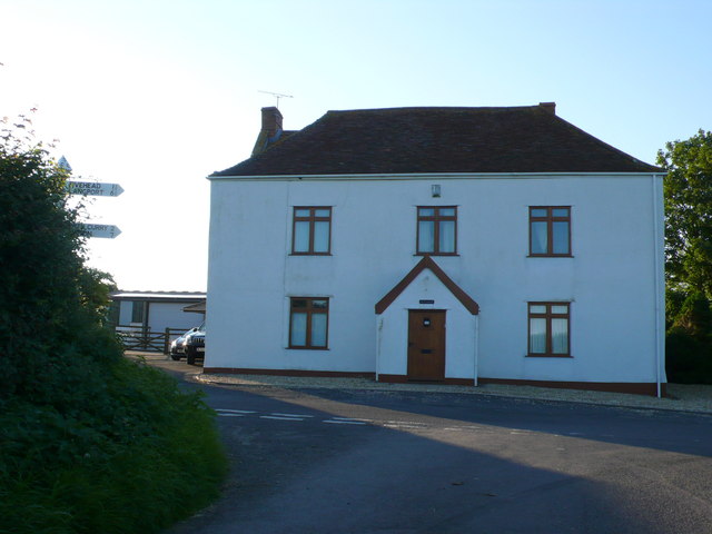
Listoke is made up of a small cluster of houses and farms, creating a close-knit community. The village is surrounded by breathtaking natural beauty, with rolling hills, lush green fields, and meandering streams. This idyllic setting makes it a popular destination for those seeking a quiet retreat or a scenic countryside walk.

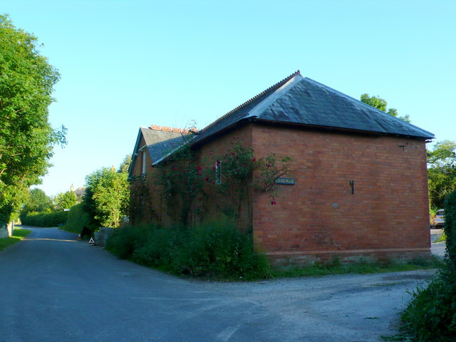
Despite its small size, Listoke has a rich history that can be traced back several centuries. The village is home to a number of historic buildings, including a 14th-century parish church, which is a testament to its long-standing heritage. The church serves as a focal point for the community and hosts regular religious services and events throughout the year.

In terms of amenities, Listoke has a few local businesses, including a small convenience store and a traditional village pub. These establishments provide essential services to the residents and offer a friendly atmosphere for visitors to socialize and relax.

Overall, Listoke is a charming and tranquil village that offers a peaceful escape from the hustle and bustle of city life. With its beautiful surroundings and strong sense of community, it is an ideal place for those looking to enjoy the beauty of the English countryside.

If you have any feedback on the listing, please let us know in the comments section below.

Listoke Images

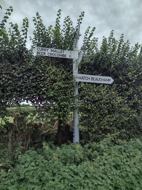
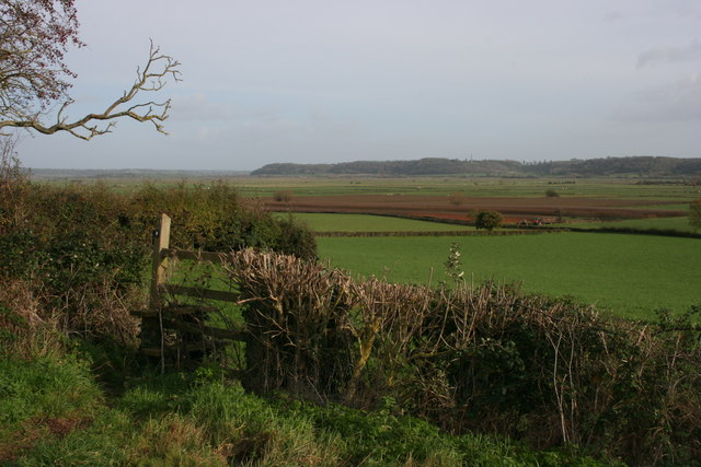
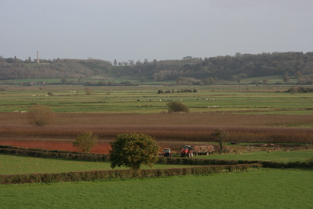
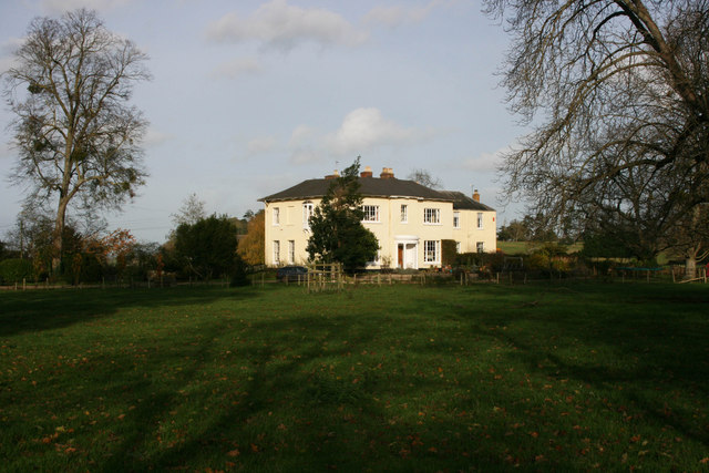
Images are sourced within 2km of 51.009165/-2.9589819 or Grid Reference ST3223. Thanks to Geograph Open Source API. All images are credited.

Signpost by Rock Hill SCC signpost near Rock Hill
Signpost by Rock Hill
SCC signpost near Rock Hill
The Moors View from East Deane Way
The Moors
View from East Deane Way
The Moors Viewed from East Deane Way. Cutting withies.
The Moors
Viewed from East Deane Way. Cutting withies.
Manor House
Manor House
Smith's Farm, Fivehead
Lower Listock Farm
Lower Listock Farm
View towards South Drove
North Curry: The Post Office and Bird in the Hand
Long's House This red brick victorian house in North Curry presumably belonged to Long at one time. It is on White St and the next road off White St is Longs's Field
Long's House
This red brick victorian house in North Curry presumably belonged to Long at one time. It is on White St and the next road off White St is Longs's Field
House at Helland Helland is really a suburb of North Curry being only a few hundred metres south east of the village on the edge of the dead flat expanse of West Sedge Moor. This stone and brick house is at the junction of Helland Hill and Westfield Lane which is seen on the right and at this point carries the long distance footpath the East Dene Way
House at Helland
Helland is really a suburb of North Curry being only a few hundred metres south east of the village on the edge of the dead flat expanse of West Sedge Moor. This stone and brick house is at the junction of Helland Hill and Westfield Lane which is seen on the right and at this point carries the long distance footpath the East Dene Way
Cattle on West Sedge Moor This pasture field, as with all the fields on the moor, is dead flat. The grass seemed very dry considering the amount of rain earlier in the summer but the aberdeen angus cattle seemed happy enough with it.
Cattle on West Sedge Moor
This pasture field, as with all the fields on the moor, is dead flat. The grass seemed very dry considering the amount of rain earlier in the summer but the aberdeen angus cattle seemed happy enough with it.
West Sedgemoor Rd Only a very small section of this road is in the grid square in the very north west corner close to Bowldish Farm and Willow Farm.
West Sedgemoor Rd
Only a very small section of this road is in the grid square in the very north west corner close to Bowldish Farm and Willow Farm.
Poplar Farm This small group of buildings no longer seems to be a working farm though it may be a small holding. As with many of the buildings in this area it is built from blue lias stone.
Poplar Farm
This small group of buildings no longer seems to be a working farm though it may be a small holding. As with many of the buildings in this area it is built from blue lias stone.
Pasture Field near Lord's Wood. This ungrazed pasture field lies between the A378 and the minor road that runs down to Lower Listock Farm. In the background is the wooded hill of Chilly Copse. near Five head in ST3423.
Pasture Field near Lord's Wood.
This ungrazed pasture field lies between the A378 and the minor road that runs down to Lower Listock Farm. In the background is the wooded hill of Chilly Copse. near Five head in ST3423.
Cottage at Cathanger Wood The road in the foreground is the junction where the old track runs down to Cathanger from the A378 and the minor road runs along to the intersection with Cathanger Lane. Cathanger Wood is on the left.
Cottage at Cathanger Wood
The road in the foreground is the junction where the old track runs down to Cathanger from the A378 and the minor road runs along to the intersection with Cathanger Lane. Cathanger Wood is on the left.
View over West Sedgemoor This is the view over the moor from the minor road near Cathanger Lane. The flat expanse of the moor lies in the distance, while the A378 is hidden in the trees that run across the middle of the image as the road descends the hill from Cathanger.
View over West Sedgemoor
This is the view over the moor from the minor road near Cathanger Lane. The flat expanse of the moor lies in the distance, while the A378 is hidden in the trees that run across the middle of the image as the road descends the hill from Cathanger.
Wheat Field near Slatts House This  field of nearly ripe wheat with a single poppy is on top of the line of hills that run along the southern edge of West Sedge Moor. This is the view south away from the moor towards Curry Mallet and the valley of the Fivehead River.
Wheat Field near Slatts House
This field of nearly ripe wheat with a single poppy is on top of the line of hills that run along the southern edge of West Sedge Moor. This is the view south away from the moor towards Curry Mallet and the valley of the Fivehead River.
House at Rock This house is on the road junction where the minor road down Rock Hill from Rock to West Sedgemoor crosses the minor road from Crimson Hill at the head of the Wrantage Inclined Plane to Fivehead. It would appear that at one time this road passed just to the right of this house but it has now been diverted and displaced about 40m east and so the junction is now staggered.
House at Rock
This house is on the road junction where the minor road down Rock Hill from Rock to West Sedgemoor crosses the minor road from Crimson Hill at the head of the Wrantage Inclined Plane to Fivehead. It would appear that at one time this road passed just to the right of this house but it has now been diverted and displaced about 40m east and so the junction is now staggered.
Show me another place!

Listoke is located at Grid Ref: ST3223 (Lat: 51.009165, Lng: -2.9589819)

Administrative County: Somerset

District: Somerset West and Taunton

Police Authority: Avon and Somerset

Also known as: Listock

What 3 Words

///geese.ballroom.releases. Near Creech St Michael, Somerset

Related Wikis

Fivehead Woods and Meadow

Fivehead Woods and Meadow (grid reference ST331231) is a 62.4 hectare (154.2 acre) biological Site of Special Scientific Interest near the village of Fivehead...

North Curry Meadow

North Curry Meadow (grid reference ST330253) is a 1.3 hectare (3.1 acre) biological Site of Special Scientific Interest in North Curry, Somerset, England...

Fivehead Arable Fields

Fivehead Arable Fields (grid reference ST337224) is a 10.3 hectare (25.4 acre) biological Site of Special Scientific Interest near the village of Fivehead...
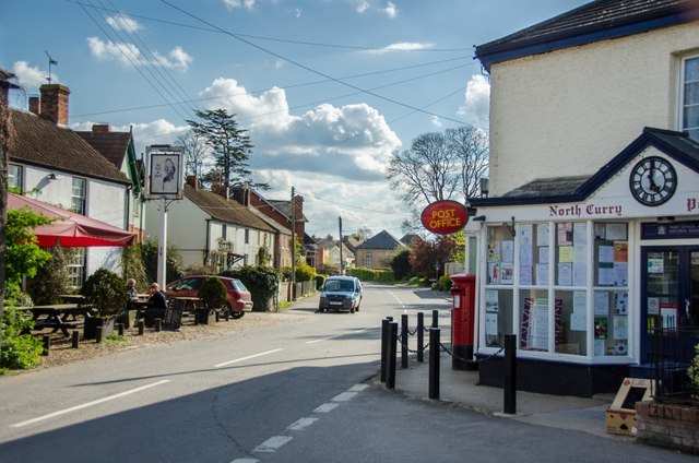
North Curry

North Curry is a village and civil parish in Somerset, England, 5 miles (8.0 km) east of Taunton. The parish, which includes several hamlets, had a population...

Nearby Amenities

Located within 500m of 51.009165,-2.9589819
Listoke
Place: hamlet
Source: npe
Lat/Long: 51.0083728/-2.9583117
Noexit: yes
Lat/Long: 51.0088472/-2.9594676
Noexit: yes
Lat/Long: 51.0088835/-2.959481
Brand: National Grid
Brand Wikidata: Q1465461
Line Attachment: anchor
Material: wood
Operator: National Grid Electricity Distribution Plc
Operator Old: Western Power Distribution
Operator Wikidata: Q7988183
Owner: National Grid Electricity Distribution (South West) Plc
Owner Wikidata: Q114397866
Power: pole
Lat/Long: 51.0131303/-2.9597104
Brand: National Grid
Brand Wikidata: Q1465461
Line Attachment: anchor
Material: wood
Operator: National Grid Electricity Distribution Plc
Operator Old: Western Power Distribution
Operator Wikidata: Q7988183
Owner: National Grid Electricity Distribution (South West) Plc
Owner Wikidata: Q114397866
Power: pole
Lat/Long: 51.0128594/-2.9596862
Brand: National Grid
Brand Wikidata: Q1465461
Line Attachment: anchor
Material: wood
Operator: National Grid Electricity Distribution Plc
Operator Old: Western Power Distribution
Operator Wikidata: Q7988183
Owner: National Grid Electricity Distribution (South West) Plc
Owner Wikidata: Q114397866
Power: pole
Lat/Long: 51.0126164/-2.9597345
Brand: National Grid
Brand Wikidata: Q1465461
Line Attachment: anchor
Material: wood
Operator: National Grid Electricity Distribution Plc
Operator Old: Western Power Distribution
Operator Wikidata: Q7988183
Owner: National Grid Electricity Distribution (South West) Plc
Owner Wikidata: Q114397866
Power: pole
Lat/Long: 51.0106716/-2.9584323
Brand: National Grid
Brand Wikidata: Q1465461
Line Attachment: anchor
Material: wood
Operator: National Grid Electricity Distribution Plc
Operator Old: Western Power Distribution
Operator Wikidata: Q7988183
Owner: National Grid Electricity Distribution (South West) Plc
Owner Wikidata: Q114397866
Power: pole
Lat/Long: 51.0113525/-2.9589164
Brand: National Grid
Brand Wikidata: Q1465461
Line Attachment: anchor
Material: wood
Operator: National Grid Electricity Distribution Plc
Operator Old: Western Power Distribution
Operator Wikidata: Q7988183
Owner: National Grid Electricity Distribution (South West) Plc
Owner Wikidata: Q114397866
Power: pole
Lat/Long: 51.0121439/-2.9594851
Brand: National Grid
Brand Wikidata: Q1465461
Design: h-frame
Devices: 1
Frequency: 50
Guyed: yes
Line Attachment: anchor
Material: wood
Operator: National Grid Electricity Distribution Plc
Operator Old: Western Power Distribution
Operator Wikidata: Q7988183
Owner: National Grid Electricity Distribution (South West) Plc
Owner Wikidata: Q114397866
Phases: 3
Power: pole
Transformer: distribution
Lat/Long: 51.0133463/-2.9592168
Brand: National Grid
Brand Wikidata: Q1465461
Design: h-frame
Devices: 1
Frequency: 50
Guyed: yes
Line Attachment: anchor
Material: wood
Operator: National Grid Electricity Distribution Plc
Operator Old: Western Power Distribution
Operator Wikidata: Q7988183
Owner: National Grid Electricity Distribution (South West) Plc
Owner Wikidata: Q114397866
Phases: 3
Power: pole
Transformer: distribution
Lat/Long: 51.0135041/-2.9591672
The data included in this document is from www.openstreetmap.org. The data is made available under ODbL.

Have you been to Listoke?

Leave your review of Listoke below (or comments, questions and feedback).