Lawley

Settlement in Shropshire

England

Lawley

Footpath at the edge of Birch Coppice
Footpath at the edge of Birch Coppice Credit: Row17

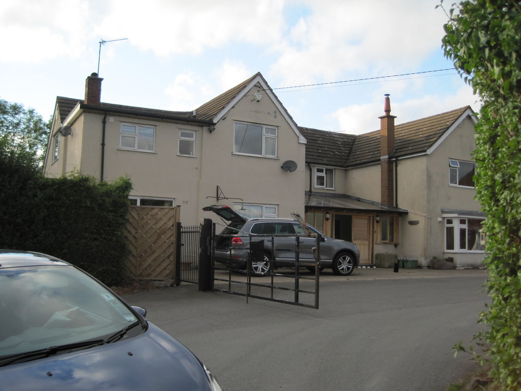
Lawley is a small town located in the ceremonial county of Shropshire, England. Situated approximately 6 miles east of the county town of Shrewsbury, Lawley falls within the borough of Telford and Wrekin. With a population of around 7,000 people, it is considered a relatively small settlement.

The town is primarily residential, with a mix of housing estates, including both privately owned and social housing. The area is known for its peaceful atmosphere and a close-knit community. Lawley benefits from its proximity to the nearby towns of Telford and Shrewsbury, providing residents with access to a range of amenities and services.

Lawley is surrounded by picturesque countryside, offering residents opportunities for outdoor activities such as walking and cycling. The town is also home to a number of green spaces, including Lawley Village Green and Lawley Arboretum, which provide residents with recreational areas for leisure and relaxation.

There are several schools in Lawley, catering to the educational needs of the local population. Additionally, the town boasts a range of shops, including convenience stores and small businesses, ensuring residents have access to daily necessities.

Lawley benefits from good transport links, with nearby motorways connecting the town to other parts of the country. The town is also served by regular bus services, making it easily accessible for both residents and visitors.

Overall, Lawley offers a pleasant and peaceful living environment, with a strong sense of community and access to essential amenities.

If you have any feedback on the listing, please let us know in the comments section below.
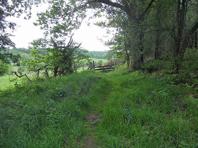
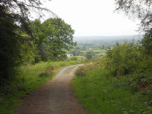
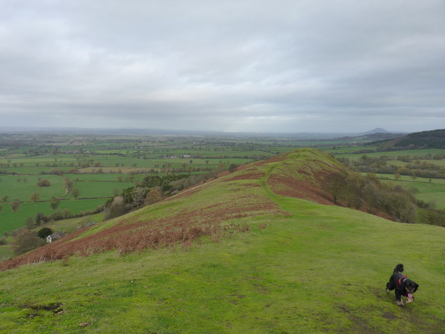
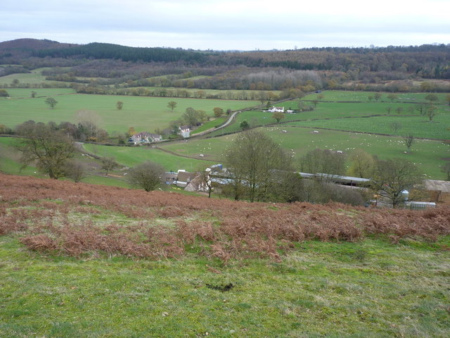
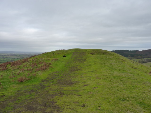
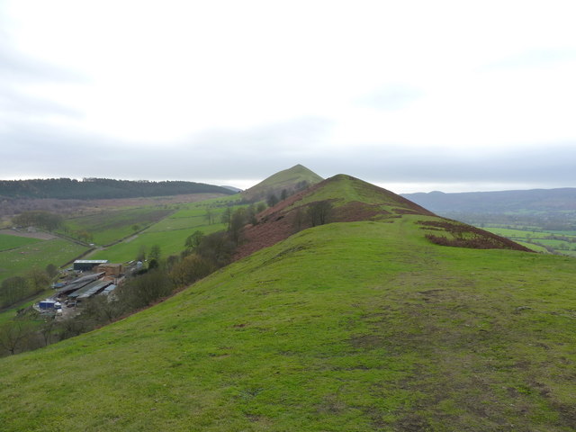
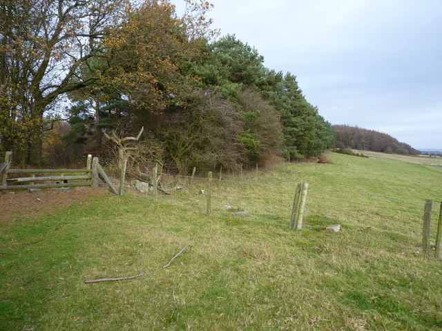
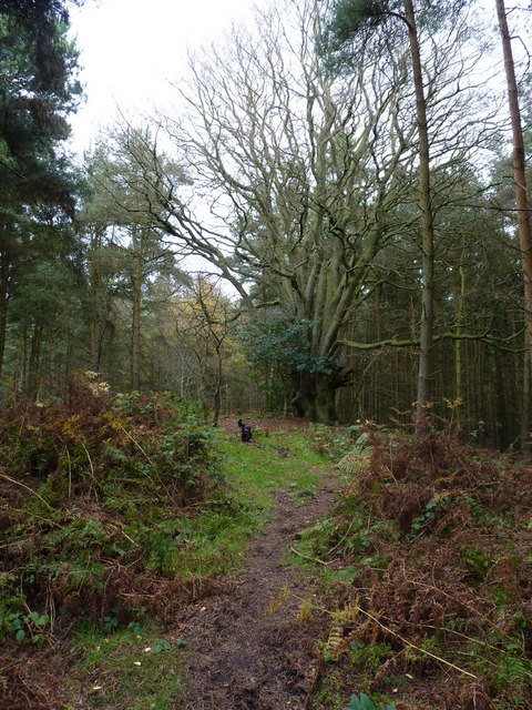
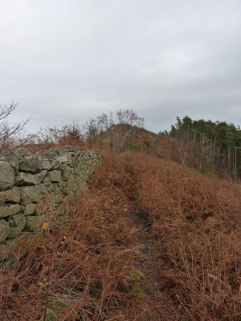
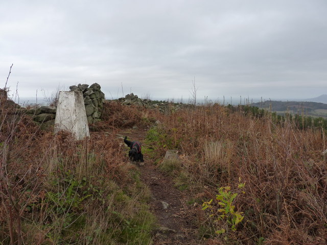
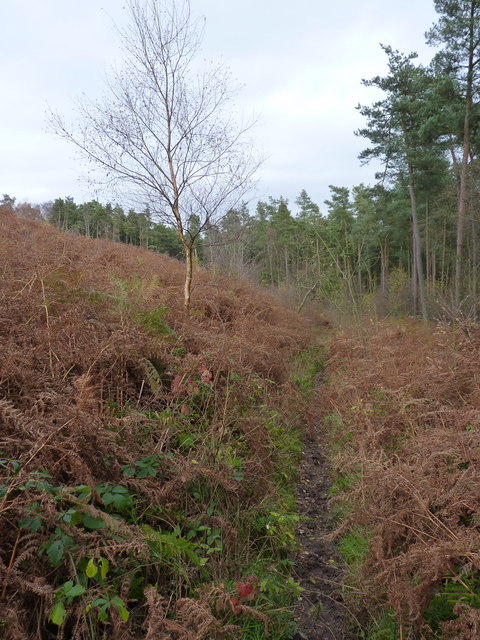
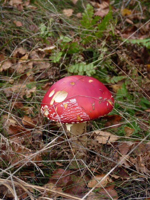
Lawley Images

Images are sourced within 2km of 52.587692/-2.731638 or Grid Reference SO5099. Thanks to Geograph Open Source API. All images are credited.

Footpath at the edge of Birch Coppice
Bridleway on Lodge Hill
The lower part of The Lawley's NE ridge Looking down from The Lawley across farmland, to The Wrekin in the distance,
The lower part of The Lawley's NE ridge
Looking down from The Lawley across farmland, to The Wrekin in the distance,
Eastwards from The Lawley Across Blackhurst Farm and the hamlet to the wooded Lodge Hill, the next destination on today's walk.
Eastwards from The Lawley
Across Blackhurst Farm and the hamlet to the wooded Lodge Hill, the next destination on today's walk.
The outer ditches and bank of the settlement on The Lawley The map marks a small settlement (Iron Age?) at this point, but there's little to see except a couple of low banks, just where the dog is investigating an interesting smell.
The outer ditches and bank of the settlement on The Lawley
The map marks a small settlement (Iron Age?) at this point, but there's little to see except a couple of low banks, just where the dog is investigating an interesting smell.
Back along the ridge of The Lawley Gives a good impression of the true length of this narrow ridge; the summit lies on the pointy bit in the distance, and a good path runs all the way up from this NE end.
Back along the ridge of The Lawley
Gives a good impression of the true length of this narrow ridge; the summit lies on the pointy bit in the distance, and a good path runs all the way up from this NE end.
Autumn on the lane into Lawley
A path through Birch Coppice Nothing's marked on the maps just here, but a perfectly respectable path runs right along the ridge of Lodge Hill, following close to the old stone wall all the way to the trig, and then down the other side to eventually join the bridleways near Frodesley.
A path through Birch Coppice
Nothing's marked on the maps just here, but a perfectly respectable path runs right along the ridge of Lodge Hill, following close to the old stone wall all the way to the trig, and then down the other side to eventually join the bridleways near Frodesley.
Stile and footpath at the edge of Birch Coppice
Coppiced beech in Birch Coppice Somehow the name of the wood doesn't quite fit what lies here, right beside the path along the ridge.
Coppiced beech in Birch Coppice
Somehow the name of the wood doesn't quite fit what lies here, right beside the path along the ridge.
Dry stone wall near the top of Lodge Hill This wall runs the full length of the ridge from the SW, to a point past the summit trig. It's rather the worse for wear in the trees (presumably damaged in places by falling timber) but in reasonable condition up here near the top.
Dry stone wall near the top of Lodge Hill
This wall runs the full length of the ridge from the SW, to a point past the summit trig. It's rather the worse for wear in the trees (presumably damaged in places by falling timber) but in reasonable condition up here near the top.
Summit trig - Lodge Hill The trig and the ridge-top dry stone wall that can be followed by a narrow path.
Summit trig - Lodge Hill
The trig and the ridge-top dry stone wall that can be followed by a narrow path.
A narrow path in Lodgehill Coppice It's not marked on the maps, but a narrow path follows the ridge, then drops down the hill to this area from the trig.
A narrow path in Lodgehill Coppice
It's not marked on the maps, but a narrow path follows the ridge, then drops down the hill to this area from the trig.
Fly Agaric (Amanita muscaria) in Lodgehill Coppice The quintessential mushroom, it usually appears with white spots on the cap, but these often wash off in rain, or with age. Highly poisonous, and best NOT eaten!
Fly Agaric (Amanita muscaria) in Lodgehill Coppice
The quintessential mushroom, it usually appears with white spots on the cap, but these often wash off in rain, or with age. Highly poisonous, and best NOT eaten!
The end of the wall in Lodgehill Coppice The single wall runs along the ridge of the hill from the road above Chatwall, and then splits into two just beyond here; the whole construction, although once substantial, has seen better days.
The end of the wall in Lodgehill Coppice
The single wall runs along the ridge of the hill from the road above Chatwall, and then splits into two just beyond here; the whole construction, although once substantial, has seen better days.
The Lawley from Causeway Coppice
Narrow path and a crumbling wall in Lodgehill Coppice
Track at the bottom of Lodgehill Coppice
Show me another place!

Lawley is located at Grid Ref: SO5099 (Lat: 52.587692, Lng: -2.731638)

Unitary Authority: Shropshire

Police Authority: West Merica

What 3 Words

///fellow.fruits.trail. Near Longnor, Shropshire

Nearby Locations

Lawley

Related Wikis

Longnor, Shropshire

Longnor is a village and civil parish off the A49 road, south of Dorrington and north of Leebotwood in Shropshire, England, with a population of 289. The...

Frodesley

Frodesley ( FRODZ-lee) is a tiny village and civil parish in the English county of Shropshire, and is situated partly within the Shropshire Hills Area...

Leebotwood

Leebotwood ( lee-BOT-wood) is a small village and civil parish in Shropshire, England. It is about 9 miles (14 km) south of Shrewsbury and 3.5 miles (5...

Leebotwood railway station

Leebotwood railway station was a station in Leebotwood, Shropshire, England. The station was opened in 1852 and closed in 1958. == References == ��2�...

Nearby Amenities

Located within 500m of 52.587692,-2.731638
Barrier: kissing_gate
Lat/Long: 52.5873184/-2.7310575
Barrier: kissing_gate
Lat/Long: 52.5907834/-2.7316183
Power: pole
Lat/Long: 52.59061/-2.7262402
Power: pole
Lat/Long: 52.5894955/-2.7291048
Power: pole
Lat/Long: 52.588974/-2.7304861
Power: pole
Lat/Long: 52.5883613/-2.7320954
Power: pole
Lat/Long: 52.5878578/-2.7333829
Power: pole
Lat/Long: 52.5873738/-2.7346784
Power: pole
Lat/Long: 52.5864661/-2.7370387
Information: board
Source: GPS survey
Tourism: information
Lat/Long: 52.5874373/-2.730816
Grit Bin
Lat/Long: 52.5875824/-2.7307811
Hiking: yes
Information: guidepost
Source: GPS survey
Tourism: information
Lat/Long: 52.5886375/-2.7310038
The data included in this document is from www.openstreetmap.org. The data is made available under ODbL.

Have you been to Lawley?

Leave your review of Lawley below (or comments, questions and feedback).