Lakeside Village

Settlement in Yorkshire

England

Lakeside Village

View from Hawthorn Bank Hide, Potteric Carr
View from Hawthorn Bank Hide, Potteric Carr Credit: Mike Pennington

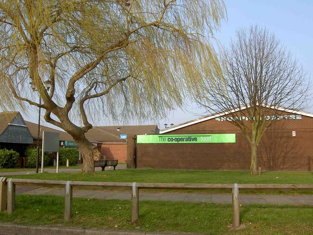
Lakeside Village is a popular shopping outlet located in Yorkshire, England. Situated on the outskirts of the town of Doncaster, it offers visitors a unique shopping experience with over 45 stores offering discounted prices on a wide range of products.

The village is set around a picturesque lake, providing a tranquil setting for visitors to enjoy while they shop. The stores at Lakeside Village cater to a variety of tastes and budgets, with brands such as Adidas, Nike, Next, and Marks & Spencer all having a presence in the village.

In addition to shopping, Lakeside Village also offers a range of dining options, including cafes and restaurants serving a variety of cuisines. There are also plenty of parking spaces available for visitors arriving by car, making it a convenient destination for those looking to shop.

Overall, Lakeside Village is a popular shopping destination in Yorkshire, offering a unique mix of stores in a scenic setting. Whether visitors are looking for fashion, homeware, or gifts, they are likely to find what they are looking for at Lakeside Village.

If you have any feedback on the listing, please let us know in the comments section below.

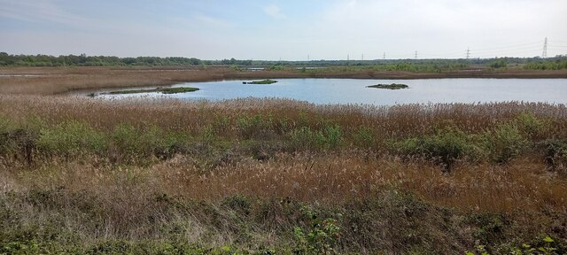
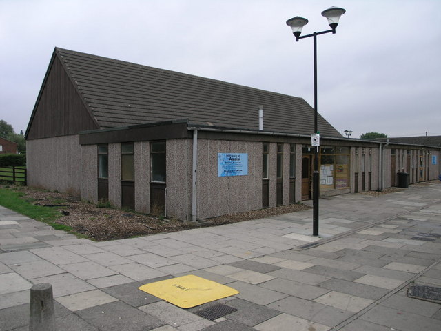
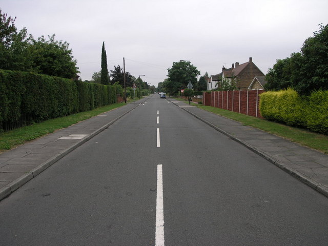
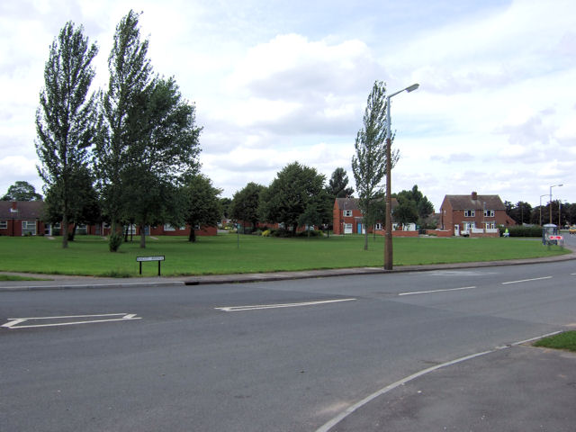
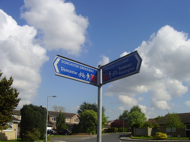
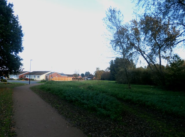
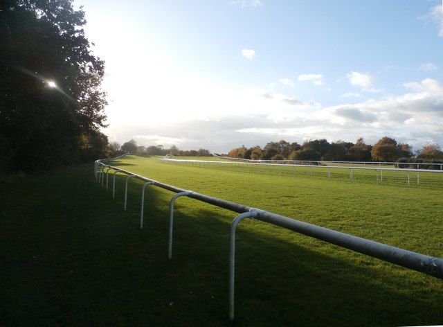
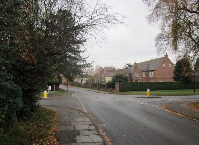
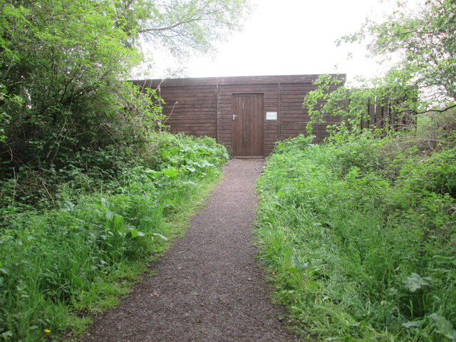
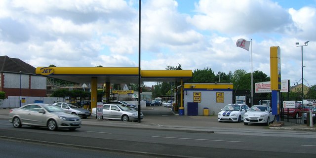
Lakeside Village Images

Images are sourced within 2km of 53.506459/-1.1134598 or Grid Reference SE5801. Thanks to Geograph Open Source API. All images are credited.

View from Hawthorn Bank Hide, Potteric Carr
Concrete Church This pre-fabricated concrete church is dedicated to St Francis of Assisi.
Concrete Church
This pre-fabricated concrete church is dedicated to St Francis of Assisi.
Ellers Avenue Perhaps once there were trees lining this avenue?
Ellers Avenue
Perhaps once there were trees lining this avenue?
Doncaster - Ascot Avenue A very attractive green open space setting off the southern end of Ascot Avenue where it leads off Cantley Lane
Doncaster - Ascot Avenue
A very attractive green open space setting off the southern end of Ascot Avenue where it leads off Cantley Lane
Roundabout at Junction 3 off the M18 motorway White Rose way heads into Doncaster from here.
Roundabout at Junction 3 off the M18 motorway
White Rose way heads into Doncaster from here.
Black Carr Bridge Girder bridge carrying railway over Potteric Carr yellow route nature trail and East Coast Mainline railway.
Black Carr Bridge
Girder bridge carrying railway over Potteric Carr yellow route nature trail and East Coast Mainline railway.
Bessacarr shopping centre, Stoops Lane Bessacarr is a large private housing estate.
Bessacarr shopping centre, Stoops Lane
Bessacarr is a large private housing estate.
The hill on Doncaster  racecourse. Note cameraman on hoist.
The hill on Doncaster racecourse.
Note cameraman on hoist.
Doncaster Greenway Along the edge of Bessacarr estate.
Doncaster Greenway
Along the edge of Bessacarr estate.
Joining the M18 Northbound Junction 3 near Doncaster.
Joining the M18 Northbound
Junction 3 near Doncaster.
Clayworth Drive in Bessacarr Pictured at its junction with Scaftworth Close.
Clayworth Drive in Bessacarr
Pictured at its junction with Scaftworth Close.
Track and Cycleway near Bessacarr
Suburban Path and Cycleway This path skirts the southern edge of Bessacarr.
Suburban Path and Cycleway
This path skirts the southern edge of Bessacarr.
The Hill on Doncaster Racecourse The slight rise which is 'the Hill' can be seen in the middle distance.
The Hill on Doncaster Racecourse
The slight rise which is 'the Hill' can be seen in the middle distance.
Whin Hill Road crossing St. Wilfred's Road Photograph taken on Whin Hill Road.
Whin Hill Road crossing St. Wilfred's Road
Photograph taken on Whin Hill Road.
Potteric  Carr  YWT  path  to  hide  overlooking  Piper  Marsh
Potteric Carr YWT path to hide overlooking Piper Marsh
Potteric  Carr  YWT  path  toward  Black  Carr  field Right foreground the path junction to hide 13 overlooking Piper Marsh, mid morning and a lack of birdlife I am afraid
Potteric Carr YWT path toward Black Carr field
Right foreground the path junction to hide 13 overlooking Piper Marsh, mid morning and a lack of birdlife I am afraid
Service Station on Bawtry Road, Doncaster
Show me another place!

Lakeside Village is located at Grid Ref: SE5801 (Lat: 53.506459, Lng: -1.1134598)

Division: West Riding

Unitary Authority: Doncaster

Police Authority: South Yorkshire

What 3 Words

///discrepancy.given.noses. Near Doncaster, South Yorkshire

Nearby Locations

Lakeside Village

Related Wikis

Lakeside Village, Doncaster

Lakeside Village is an outlet shopping centre in Lakeside, a suburb of Doncaster, South Yorkshire, England. Remodelled in 2003, it was previously known...
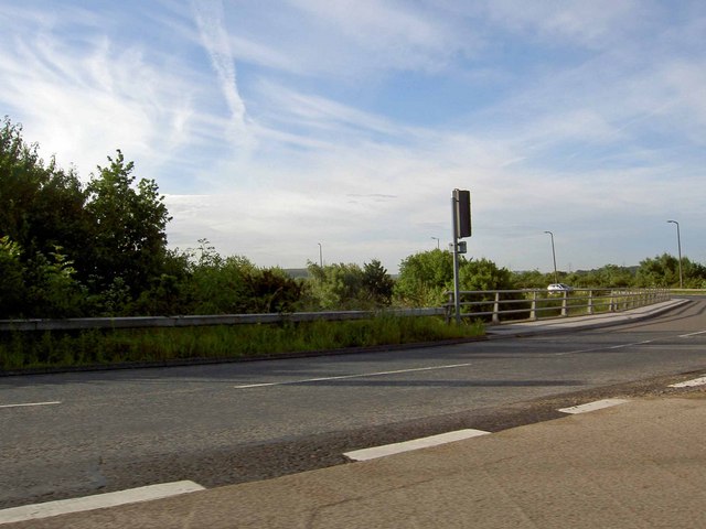
A6182 road

The A6182 is a dual carriageway in Doncaster that runs west and north from the former Doncaster Sheffield Airport to junction 3 of the M18 and then on...

Doncaster Collegiate Sixth Form

Doncaster Collegiate Sixth Form "DC6" is a sixth form centre with academy status located in Doncaster, South Yorkshire, England. == History == DC6 was...

Eco-Power Stadium

The Eco-Power Stadium (formerly known as Keepmoat Stadium) is a multi-purpose stadium in Doncaster, England, with a capacity of 15,231. It cost approximately...

Nearby Amenities

Located within 500m of 53.506459,-1.1134598
Lakeside
Is In: Doncaster, South Yorkshire, England, UK
Place: suburb
Lat/Long: 53.5087531/-1.1072009
Bus Stop
The Lakeside Village
Naptan AtcoCode: 370041255
Naptan Bearing: N
Naptan CommonName: The Lakeside Village
Naptan Indicator: 41255
Naptan Landmark: The Lakeside Village
Naptan PlusbusZoneRef: ROTHCEN
Naptan Street: White Rose Way
Naptan Verified: no
Source: naptan_import
Lat/Long: 53.5064265/-1.113685
Bus Stop
Carolina Way/Wisconsin Drive
Naptan AtcoCode: 370046156
Naptan Bearing: N
Naptan CommonName: Carolina Way/Wisconsin Drive
Naptan Indicator: 46156
Naptan Landmark: Streetlight No 38625
Naptan PlusbusZoneRef: ROTHCEN
Naptan Street: Carolina Way
Naptan Verified: no
Source: naptan_import
Lat/Long: 53.5045325/-1.1104074
Bus Stop
Lakeside Boulevard/Carolina Way
Naptan AtcoCode: 370046162
Naptan Bearing: E
Naptan CommonName: Lakeside Boulevard/Carolina Way
Naptan Indicator: 46162
Naptan Landmark: GREEN FLAG CALL CENTRE
Naptan PlusbusZoneRef: ROTHCEN
Naptan Street: Lakeside Boulevard
Naptan Verified: no
Source: naptan_import
Lat/Long: 53.5058769/-1.1062629
Bus Stop
Carriage Drive/White Rose Way
Naptan AtcoCode: 370046397
Naptan Bearing: N
Naptan CommonName: Carriage Drive/White Rose Way
Naptan Indicator: 46397
Naptan Landmark: 46397
Naptan PlusbusZoneRef: ROTHCEN
Naptan Street: Carriage Drive
Naptan Verified: no
Source: naptan_import
Lat/Long: 53.5084747/-1.1183771
Bus Stop
Stadium Way/Carriage Drive
Naptan AtcoCode: 370046398
Naptan Bearing: N
Naptan CommonName: Stadium Way/Carriage Drive
Naptan Indicator: 46398
Naptan Landmark: Lakeside Sports Complex
Naptan PlusbusZoneRef: ROTHCEN
Naptan Street: Stadium Way
Naptan Verified: no
Source: naptan_import
Lat/Long: 53.5089637/-1.1148864
Bus Stop
Stadium Way/Lakeside Boulevard
Naptan AtcoCode: 370046399
Naptan Bearing: N
Naptan CommonName: Stadium Way/Lakeside Boulevard
Naptan Indicator: 46399
Naptan Landmark: Lakeside Sports Complex
Naptan PlusbusZoneRef: ROTHCEN
Naptan Street: Stadium Way
Naptan Verified: no
Source: naptan_import
Lat/Long: 53.5081443/-1.1132721
Restaurant
Taybarns
Lat/Long: 53.5069301/-1.1119151
Traffic Signals
Traffic Signals: signal
Lat/Long: 53.5054545/-1.1122427
Railway: switch
Lat/Long: 53.5025837/-1.1152368
Railway: buffer_stop
Lat/Long: 53.5028321/-1.1148548
Railway: switch
Lat/Long: 53.5023017/-1.1145893
Railway: buffer_stop
Lat/Long: 53.5035016/-1.1185679
Railway: buffer_stop
Lat/Long: 53.5034448/-1.1184964
Railway: switch
Lat/Long: 53.5033043/-1.1164011
Railway: switch
Lat/Long: 53.5027436/-1.1160417
Railway: switch
Lat/Long: 53.5027563/-1.1159652
Railway: switch
Lat/Long: 53.5026167/-1.1156152
Railway: switch
Lat/Long: 53.5023982/-1.1151793
Railway: switch
Lat/Long: 53.5022115/-1.1145557
Railway: switch
Lat/Long: 53.5033967/-1.1169719
Railway: switch
Lat/Long: 53.5034134/-1.1167319
Railway: switch
Lat/Long: 53.5022488/-1.1144131
Railway: switch
Lat/Long: 53.5036121/-1.1189474
Railway: switch
Lat/Long: 53.5036128/-1.1185316
Railway: switch
Lat/Long: 53.5035738/-1.1185021
Railway: switch
Lat/Long: 53.5030081/-1.1169037
Railway: switch
Lat/Long: 53.5035068/-1.1176613
Railway: switch
Lat/Long: 53.5035435/-1.1180864
Railway: switch
Lat/Long: 53.5035416/-1.1176297
Railway: switch
Lat/Long: 53.5025963/-1.1158263
Railway: switch
Lat/Long: 53.50274/-1.1176845
Railway: switch
Lat/Long: 53.5023067/-1.1157892
Railway: switch
Lat/Long: 53.5020853/-1.1150387
Railway: switch
Lat/Long: 53.5025228/-1.1167492
Crossing
Crossing: uncontrolled
Crossing Ref: zebra
Lat/Long: 53.5074753/-1.1153353
Traffic Signals
Traffic Signals: signal
Lat/Long: 53.5049487/-1.1130228
Traffic Signals
Lat/Long: 53.5048723/-1.1122072
Crossing
Crossing: traffic_signals
Lat/Long: 53.505954/-1.1117557
Crossing
Crossing: traffic_signals
Lat/Long: 53.5057978/-1.1121393
Fast Food
Cuisine: sandwich
Level: 0
Takeaway: yes
Lat/Long: 53.5065338/-1.1073395
Entrance: main
Lat/Long: 53.5065254/-1.1074396
Traffic Signals
Traffic Signals: signal
Lat/Long: 53.5050248/-1.1122378
Traffic Signals
Traffic Signals: signal
Lat/Long: 53.505375/-1.1130279
Traffic Signals
Traffic Signals: signal
Lat/Long: 53.5054436/-1.1129807
Traffic Signals
Traffic Signals: signal
Lat/Long: 53.5047918/-1.112861
Crossing
Crossing: uncontrolled
Lat/Long: 53.5049016/-1.1133061
Crossing
Crossing: traffic_signals
Lat/Long: 53.5053593/-1.1129893
Crossing
Crossing: traffic_signals
Lat/Long: 53.5054325/-1.1129315
Crossing
Crossing: traffic_signals
Lat/Long: 53.5052118/-1.1129603
Crossing
Crossing: traffic_signals
Lat/Long: 53.5049998/-1.1130311
Barrier: bollard
Note: removable for access to additional parking etc
Lat/Long: 53.5101803/-1.1166476
Artwork Type: statue
Note: sculpture of 2 figures
Tourism: artwork
Lat/Long: 53.5092134/-1.1124055
The data included in this document is from www.openstreetmap.org. The data is made available under ODbL.

Have you been to Lakeside Village?

Leave your review of Lakeside Village below (or comments, questions and feedback).