Lake

Settlement in Devon West Devon

England

Lake

Royal Oak Public house in Meavy.
Royal Oak Credit: Wayland Smith

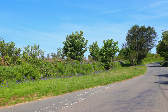
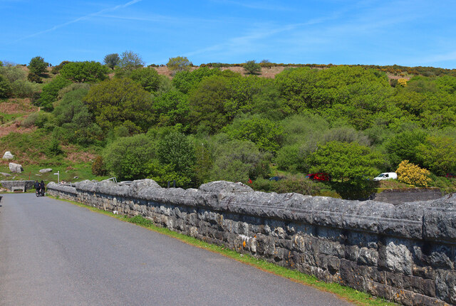
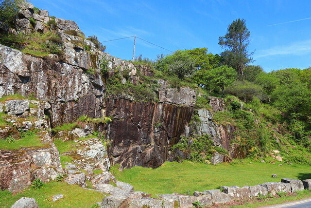
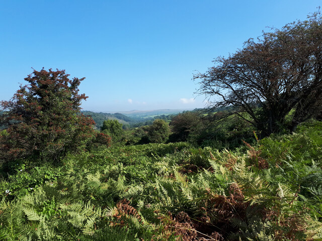
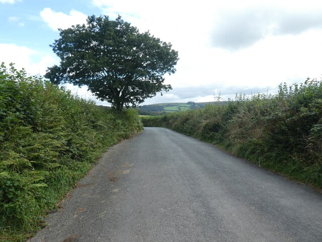
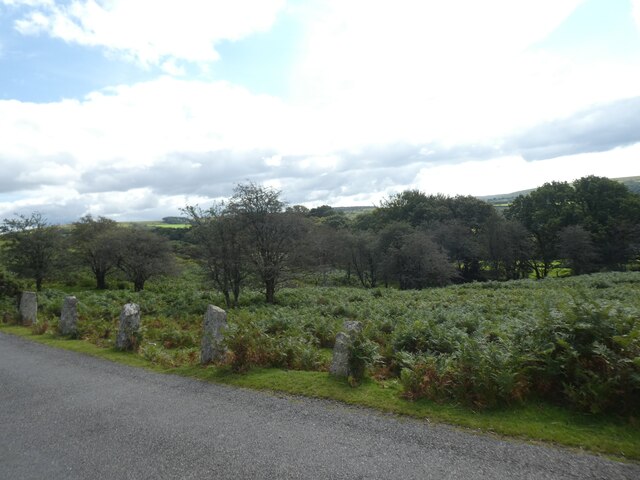
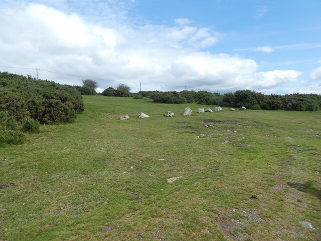
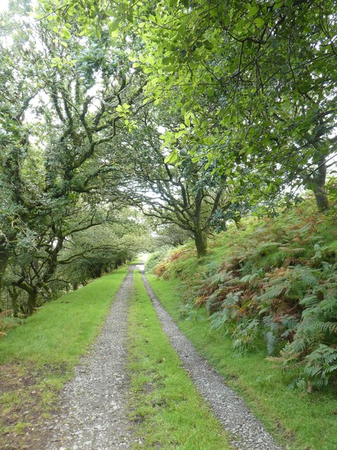
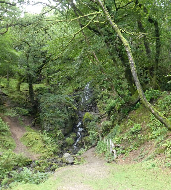
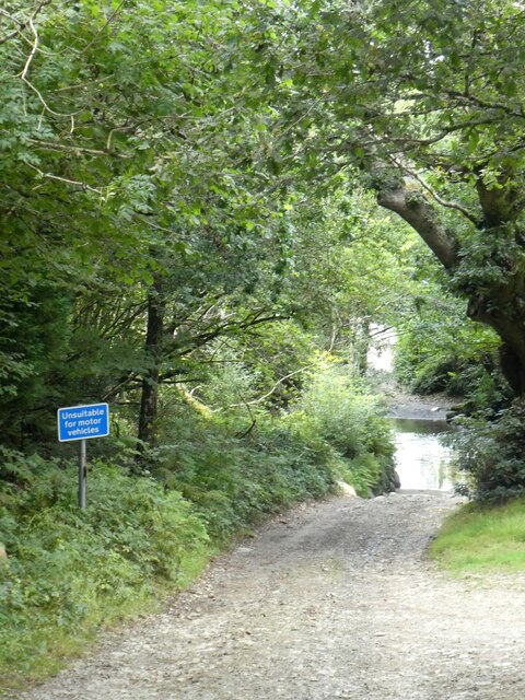
Lake is a small village located in the county of Devon, England. Situated near the coast, Lake is known for its beautiful scenery and peaceful atmosphere. The village is surrounded by lush green countryside, offering plenty of opportunities for outdoor activities such as hiking, cycling, and picnicking.

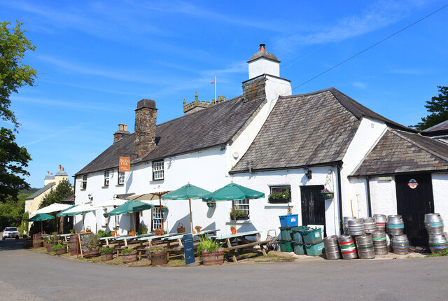
Lake is home to a few local shops and amenities, including a village hall and a small pub. The community is tight-knit and friendly, with residents often coming together for events and gatherings.

The village is also close to several popular attractions, including the Jurassic Coast, a UNESCO World Heritage Site known for its stunning cliffs and fossil-rich beaches. Visitors to Lake can easily explore the surrounding area and enjoy the natural beauty of the Devon countryside.

Overall, Lake is a charming village that offers a quiet retreat from the hustle and bustle of city life. With its picturesque surroundings and friendly community, it is a perfect destination for those looking to relax and unwind in a peaceful setting.

If you have any feedback on the listing, please let us know in the comments section below.
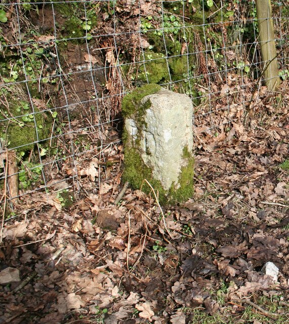
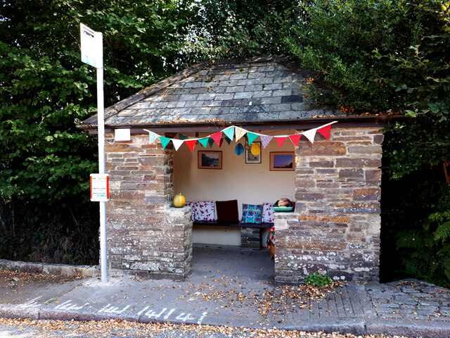
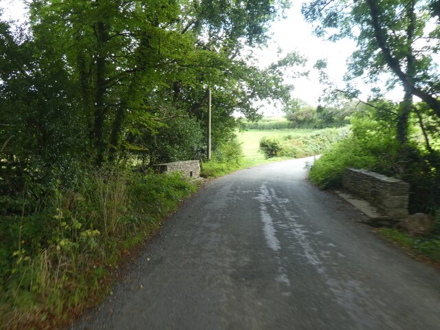
Lake Images

Images are sourced within 2km of 50.495985/-4.0722414 or Grid Reference SX5368. Thanks to Geograph Open Source API. All images are credited.

Royal Oak Public house in Meavy.
Royal Oak
Public house in Meavy.
Road Junction Country road near Meavy.
Road Junction
Country road near Meavy.
Burrator Dam Road across the dam at Burrator.
Burrator Dam
Road across the dam at Burrator.
Rocks near Burrator Rock face by the road near Burrator.
Rocks near Burrator
Rock face by the road near Burrator.
Old Boundary Marker on Knowle Down, Walkhampton Mine Boundary Marker beside the old footpath along the northern, riverside edge of Knowle Down. Walkhampton parish. Inscribed F D (Fillace Down) and K D (Knowle Down) on opposite faces. Historic Environment Records <span class="nowrap"><a title="https://www.heritagegateway.org.uk/gateway/Results_Single.aspx?uid=MDV2343&resourceID=104" rel="nofollow ugc noopener" href="https://www.heritagegateway.org.uk/gateway/Results_Single.aspx?uid=MDV2343&resourceID=104">Link</a><img style="margin-left:2px;" alt="External link" title="External link - shift click to open in new window" src="https://s1.geograph.org.uk/img/external.png" width="10" height="10"/></span> show that the north-eastern extent of Wheal Rose copper mine, last worked in about 1860, appears to have been marked by a row of three stones.

Milestone Society National ID: DV_KDFD01em
Old Boundary Marker on Knowle Down, Walkhampton
Mine Boundary Marker beside the old footpath along the northern, riverside edge of Knowle Down. Walkhampton parish. Inscribed F D (Fillace Down) and K D (Knowle Down) on opposite faces. Historic Environment Records LinkExternal link show that the north-eastern extent of Wheal Rose copper mine, last worked in about 1860, appears to have been marked by a row of three stones. Milestone Society National ID: DV_KDFD01em
Bus shelter, Walkhampton The bus stop serves only one circular service from Tavistock, which takes in many of the surrounding villages.
Bus shelter, Walkhampton
The bus stop serves only one circular service from Tavistock, which takes in many of the surrounding villages.
Knowle Down and the River Walkham valley
Meavy Lane bridge over a stream, east of Yelverton Crossing the stream seen in <a href="https://www.geograph.org.uk/photo/5823077">SX5367 : Tributary stream of the River Meavy</a>
Meavy Lane bridge over a stream, east of Yelverton
Crossing the stream seen in SX5367 : Tributary stream of the River Meavy
Lone tree, Meavy Lane
Meavy church (St Peter) Grade I listed Norman church.<span class="nowrap"><a title="https://www.britishlistedbuildings.co.uk/101105442-church-of-st-peter-meavy#.WzDSzookp1s" rel="nofollow ugc noopener" href="https://www.britishlistedbuildings.co.uk/101105442-church-of-st-peter-meavy#.WzDSzookp1s">Link</a><img style="margin-left:2px;" alt="External link" title="External link - shift click to open in new window" src="https://s1.geograph.org.uk/img/external.png" width="10" height="10"/></span>
For more detail about the church read <span class="nowrap"><a title="http://www.westdartmoorbenefice.co.uk/wdmc/wp-content/uploads/2013/10/Meavy-Church-Guide.pdf" rel="nofollow ugc noopener" href="http://www.westdartmoorbenefice.co.uk/wdmc/wp-content/uploads/2013/10/Meavy-Church-Guide.pdf">Link</a><img style="margin-left:2px;" alt="External link" title="External link - shift click to open in new window" src="https://s1.geograph.org.uk/img/external.png" width="10" height="10"/></span>
Meavy church (St Peter)
Grade I listed Norman church.LinkExternal link For more detail about the church read LinkExternal link
Lych gate, St Peter's church, Meavy A lychgate or as two separate words lych gate, is a gateway covered with a roof found at the entrance to a traditional English churchyard. The name comes from the Old English for a corpse (lic) and was traditionally where the clergy met the corpse for burial. It was also a shelter for the pall bearers.
Lych gate, St Peter's church, Meavy
A lychgate or as two separate words lych gate, is a gateway covered with a roof found at the entrance to a traditional English churchyard. The name comes from the Old English for a corpse (lic) and was traditionally where the clergy met the corpse for burial. It was also a shelter for the pall bearers.
Cattle grid, moorland road north of Meavy
Do not think of parking on this moorland verge The granite stones act as a barrier against a very sudden drop just by the road.
Do not think of parking on this moorland verge
The granite stones act as a barrier against a very sudden drop just by the road.
Keep off Yennadon Down Lumps of Dartmoor granite are a simple and fairly effective way to keep vehicles off the moor
Keep off Yennadon Down
Lumps of Dartmoor granite are a simple and fairly effective way to keep vehicles off the moor
Track on east slope of Yennadon Down
Access steps from track on Yennadon Down
Waterfall on west of Burrator Reservoir
Track to the ford, Meavy The caption to <a href="https://www.geograph.org.uk/photo/117540">SX5466 : Stepping Stones by Meavy Ford</a> explains that the ford was popular with drivers of four-wheel vehicles; the sign is a more recent arrival; it probably doesn't deter many thrill-seekers.
Track to the ford, Meavy
The caption to SX5466 : Stepping Stones by Meavy Ford explains that the ford was popular with drivers of four-wheel vehicles; the sign is a more recent arrival; it probably doesn't deter many thrill-seekers.
Show me another place!

Lake is located at Grid Ref: SX5368 (Lat: 50.495985, Lng: -4.0722414)

Administrative County: Devon

District: West Devon

Police Authority: Devon and Cornwall

What 3 Words

///joints.adapt.darkens. Near Yelverton, Devon
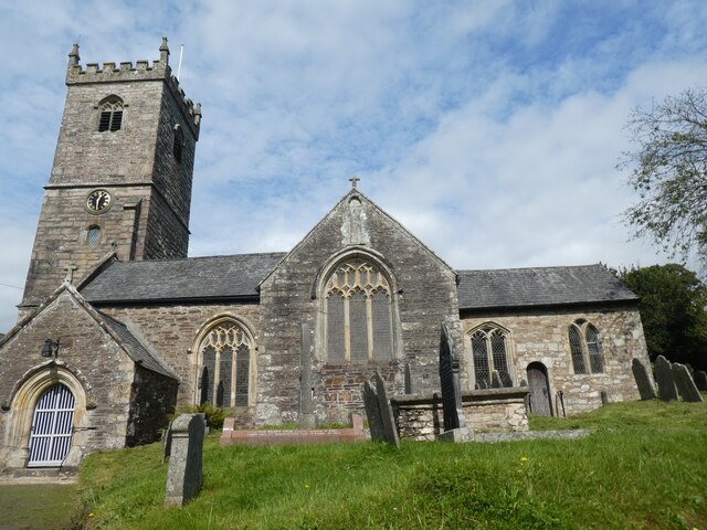
Nearby Locations

Lake Dousland

Related Wikis

Dousland

Dousland is a small settlement in Devon, England. It is near the A386 road and is 10 kilometres (6 mi) northeast of the city of Plymouth - 10 kilometres...

Dousland railway station

Dousland railway station, originally opened at Dousland Barn in 1883 was located on the 10.5 mile long single track branch railway line in Devon, England...

Yelverton, Devon

Yelverton is a large village on the south-western edge of Dartmoor, Devon, in England. It is in the civil parish of Buckland Monachorum.When Yelverton...

Walkhampton

Walkhampton is a village and civil parish on the western side of Dartmoor in the county of Devon, England. The village lies on the Black Brook, a tributary...

Nearby Amenities

Located within 500m of 50.495985,-4.0722414
Milestone
Lat/Long: 50.4974322/-4.0772682
Post Box
Brand: Royal Mail
Brand Wikidata: Q638098
Brand Wikipedia: en:Royal Mail
Collection Times: Mo-Fr 11:15; Sa 10:30; Su off
Operator: Royal Mail
Operator Wikidata: Q638098
Post Box Design: type_c
Post Box Mounting: building
Post Box Type: wall
Ref: PL20 492
Royal Cypher: EVIIR
Royal Cypher Wikidata: Q33102324
Source: survey;streetlevel imagery;aerial imagery
Lat/Long: 50.4971977/-4.0773758
Power: pole
Lat/Long: 50.5000475/-4.0732053
Power: pole
Lat/Long: 50.4995767/-4.0741602
Power: pole
Lat/Long: 50.4991569/-4.075115
Power: pole
Lat/Long: 50.4987355/-4.0760538
Power: pole
Lat/Long: 50.498396/-4.0768531
Power: pole
Lat/Long: 50.4980787/-4.0779635
Power: pole
Lat/Long: 50.4974832/-4.0785697
Power: pole
Lat/Long: 50.495533/-4.0653974
Power: pole
Transformer: distribution
Lat/Long: 50.4961967/-4.0655892
Power: pole
Lat/Long: 50.4969355/-4.0658225
Power: pole
Transformer: distribution
Lat/Long: 50.4976888/-4.0660572
Power: pole
Lat/Long: 50.4929735/-4.067578
Power: pole
Lat/Long: 50.4930333/-4.0687501
Power: pole
Transformer: distribution
Lat/Long: 50.4931049/-4.0699893
Power: pole
Lat/Long: 50.4931612/-4.0711588
Power: pole
Lat/Long: 50.493192/-4.0721351
Power: pole
Lat/Long: 50.4932636/-4.0733394
Power: pole
Lat/Long: 50.4933472/-4.0743935
Power: pole
Lat/Long: 50.4934138/-4.0753162
Power: pole
Lat/Long: 50.4934889/-4.0762791
Power: pole
Lat/Long: 50.4935503/-4.0772474
Power: pole
Transformer: distribution
Lat/Long: 50.4972341/-4.0778026
The data included in this document is from www.openstreetmap.org. The data is made available under ODbL.

Have you been to Lake?

Leave your review of Lake below (or comments, questions and feedback).