Ladiesloch
Settlement in Sutherland
Scotland
Ladiesloch
Ladiesloch is a small village located in the county of Sutherland, in the northernmost part of Scotland. Situated amidst the breathtaking Scottish Highlands, this picturesque settlement is renowned for its natural beauty and tranquil surroundings.
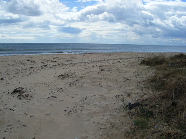
Nestled beside a serene loch, from which it derives its name, Ladiesloch is a haven for outdoor enthusiasts and nature lovers. The village is surrounded by rolling hills, verdant meadows, and dense woodlands, offering ample opportunities for hiking, birdwatching, and wildlife spotting. The nearby loch is a popular spot for fishing and boating, attracting anglers and water sports enthusiasts throughout the year.
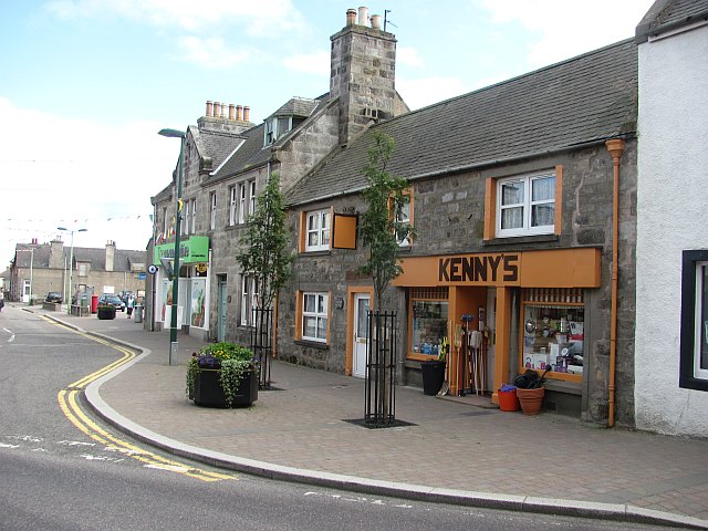
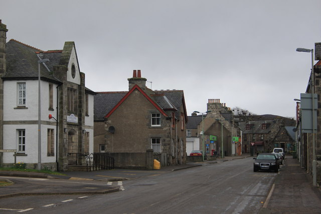
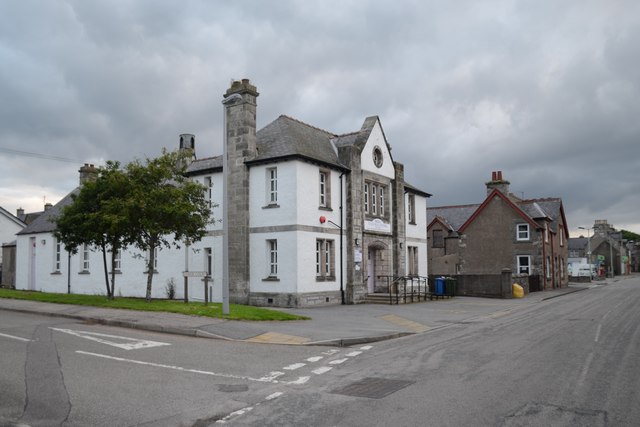
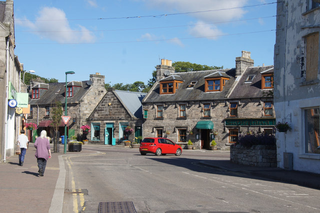
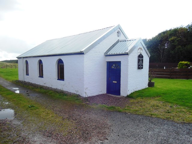
The village itself is characterized by its charming, traditional Scottish architecture, with stone-built cottages and thatched roofs dotting the landscape. Despite its small size, Ladiesloch boasts a vibrant community spirit, with regular events and gatherings taking place in the village hall. The locals are known for their warm hospitality and welcoming demeanor, making visitors feel right at home.
While Ladiesloch may be a secluded village, it is conveniently located near some notable attractions. The nearby town of Dornoch, with its pristine sandy beaches and historic cathedral, is a short drive away. Additionally, the majestic Dunrobin Castle, the largest castle in the northern Highlands, is within reach and offers a glimpse into Scotland's rich heritage.
In summary, Ladiesloch is a hidden gem in the Scottish Highlands, offering a peaceful retreat from the hustle and bustle of modern life. With its idyllic setting, friendly community, and access to stunning natural landscapes, it is a destination that captivates the hearts of all who visit.
If you have any feedback on the listing, please let us know in the comments section below.
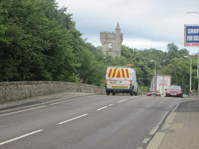
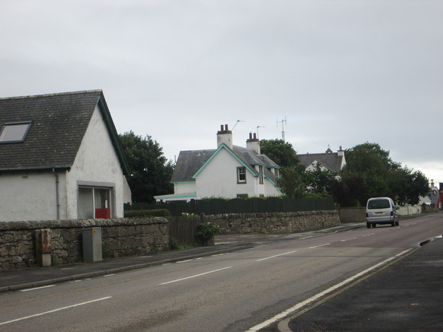
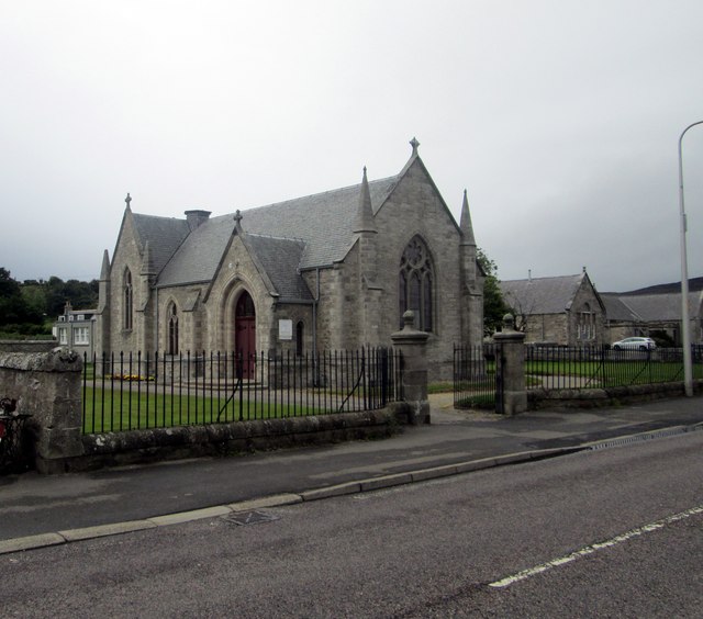
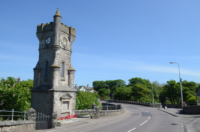
Ladiesloch Images
Images are sourced within 2km of 58.015932/-3.8627297 or Grid Reference NC9004. Thanks to Geograph Open Source API. All images are credited.
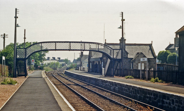
![Brora station exterior, 1986 View northward, towards Helmsdale and Thurso/Wick: ex-Highland Railway Far North line, Inverness - Wick/Thurso. [My BMW 520 featured].](https://s3.geograph.org.uk/geophotos/03/27/03/3270375_bd7b9193.jpg)
Ladiesloch is located at Grid Ref: NC9004 (Lat: 58.015932, Lng: -3.8627297)
Unitary Authority: Highland
Police Authority: Highlands and Islands
What 3 Words
///privately.pesky.spectacle. Near Brora, Highland
Nearby Locations
Related Wikis

River Brora
The River Brora (Scottish Gaelic: Brùra) is an east-flowing river in Sutherland in the Highlands of Scotland. It is formed where its headwater streams...

Brora Coalfield
The Brora Coalfield is a coalfield on the east coast of Sutherland in northern Scotland. The 'Brora Main' is a 1m to 1.5m thick seam which has been mined...
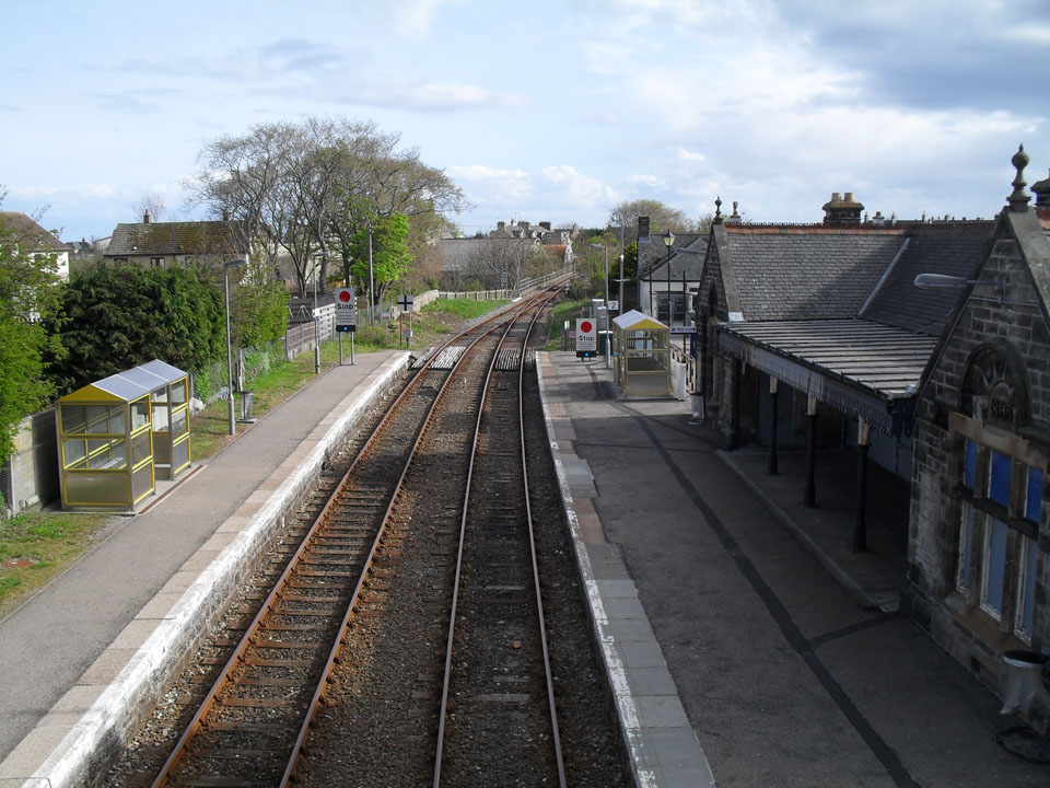
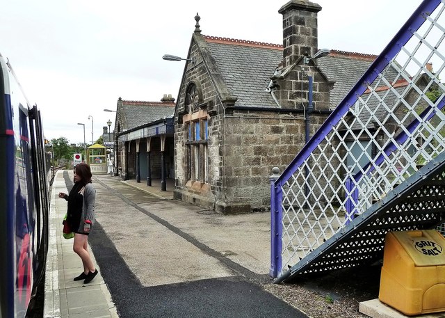
Brora railway station
Brora railway station () is a railway station serving the small town of Brora in the Highland council area of Scotland. The station is on the Far North...
Brora Rangers F.C.
Brora Rangers Football Club are a Scottish football club from the village of Brora, Sutherland, in the Highland council area of Scotland. They play in...
Nearby Amenities
Located within 500m of 58.015932,-3.8627297Have you been to Ladiesloch?
Leave your review of Ladiesloch below (or comments, questions and feedback).