Knockdee

Settlement in Caithness

Scotland

Knockdee

Crowsnest Level  Crossing Gate Private level crossing at The Crowsnest
Crowsnest Level Crossing Gate Credit: John MacKenzie

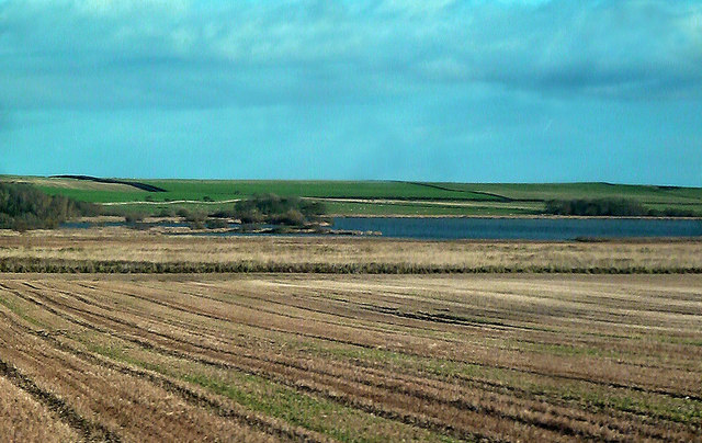
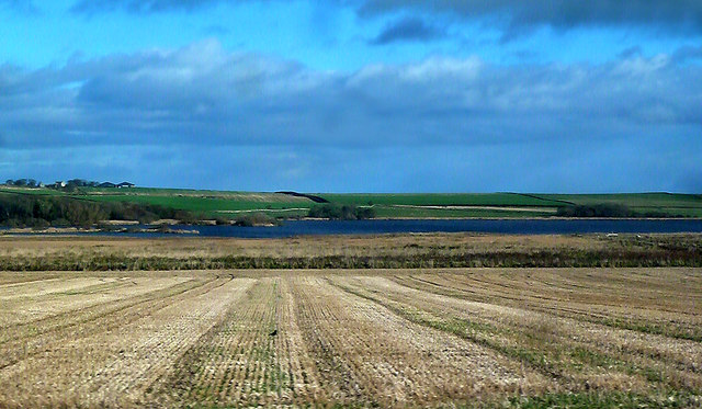
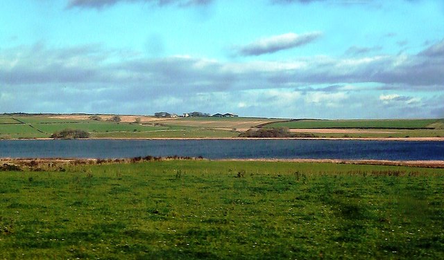
Knockdee is a small village located in the northernmost part of mainland Scotland, in the historic county of Caithness. Situated on the east coast, the village lies about 8 miles north of the town of Wick and is surrounded by picturesque countryside and rugged coastal scenery.

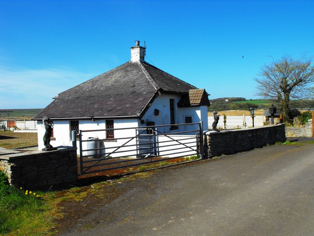
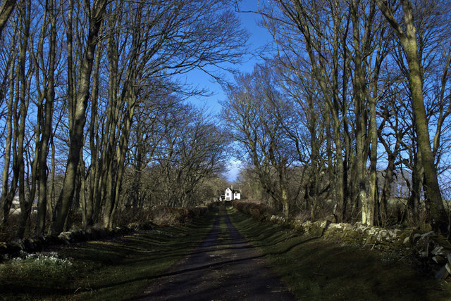
With a population of around 200 residents, Knockdee exudes a tranquil and close-knit atmosphere. The village is characterized by its charming cottages, many of which are made from locally sourced stone, giving a traditional feel to the place. The landscape is predominantly rural, with rolling hills and farmland stretching out in all directions.

The village enjoys a relatively mild climate due to its proximity to the North Sea, which helps to moderate temperatures throughout the year. The coastal location also provides opportunities for outdoor activities, such as fishing and boating.

While Knockdee is primarily a residential area, it benefits from its close proximity to Wick, where residents have access to amenities such as schools, shops, and healthcare facilities. The village is well connected by road, with the A99 passing nearby, providing easy access to other parts of Caithness and beyond.

Overall, Knockdee offers a peaceful and idyllic setting for those seeking a quiet rural lifestyle, surrounded by stunning natural beauty. Its location in the heart of Caithness makes it an attractive destination for nature lovers and those looking to explore the Scottish Highlands.

If you have any feedback on the listing, please let us know in the comments section below.
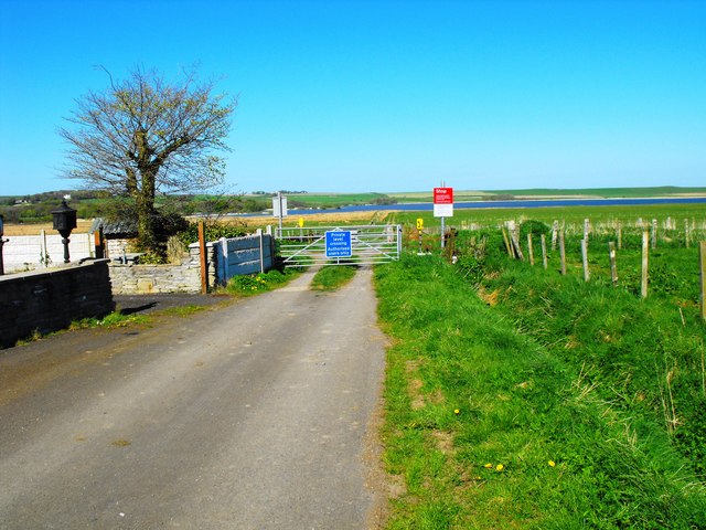
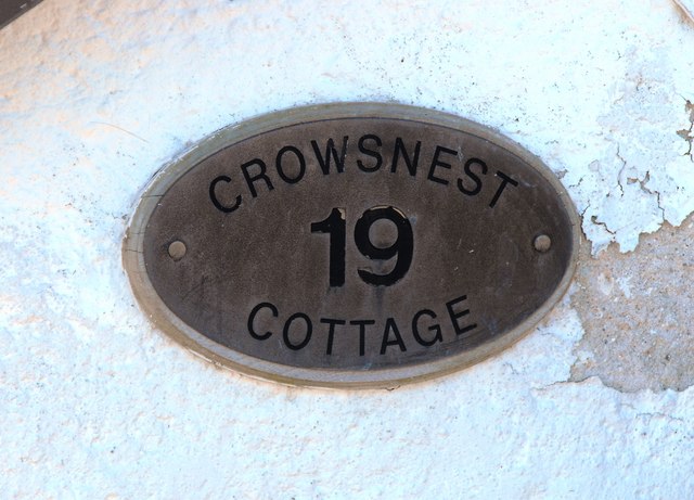
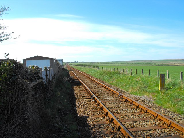
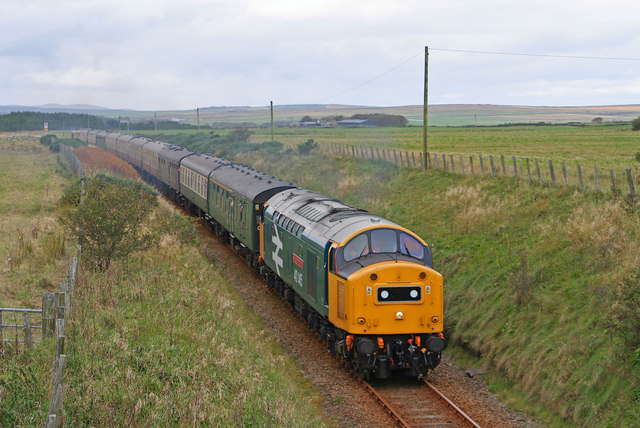
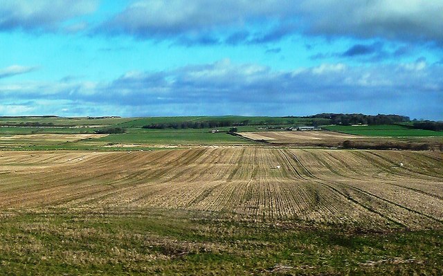
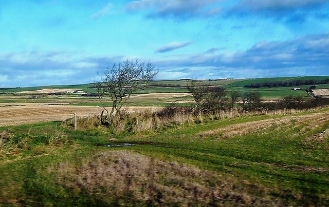
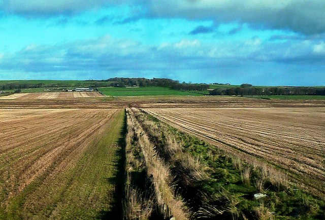
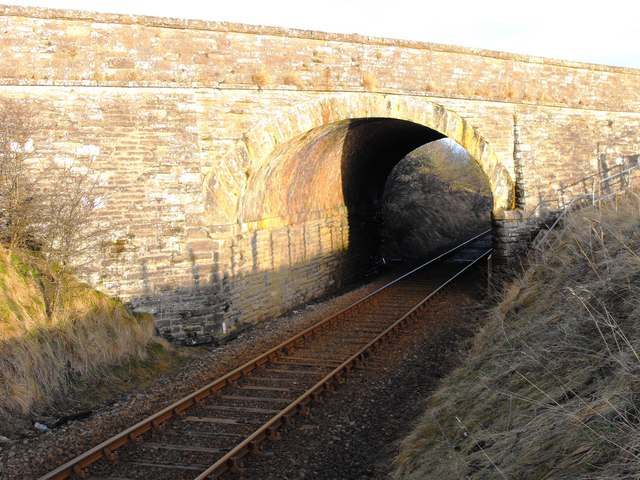
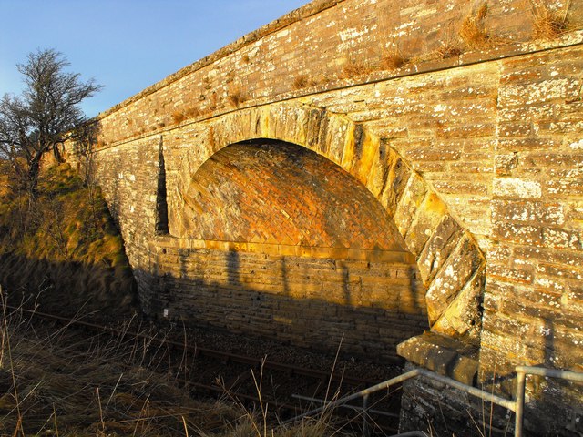
Knockdee Images

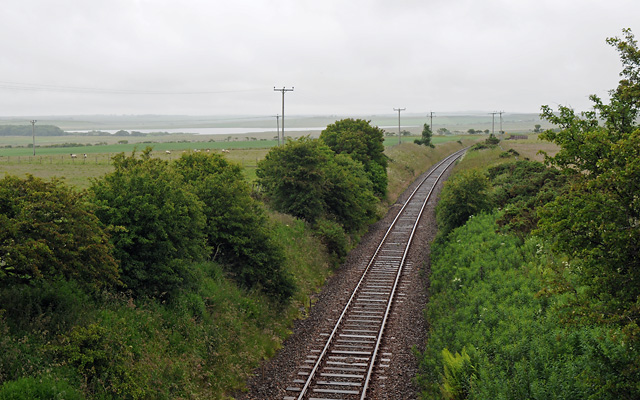
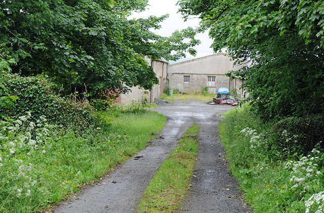
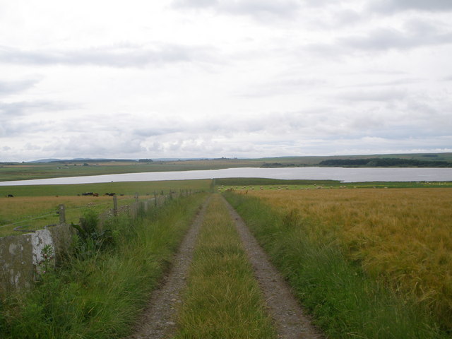
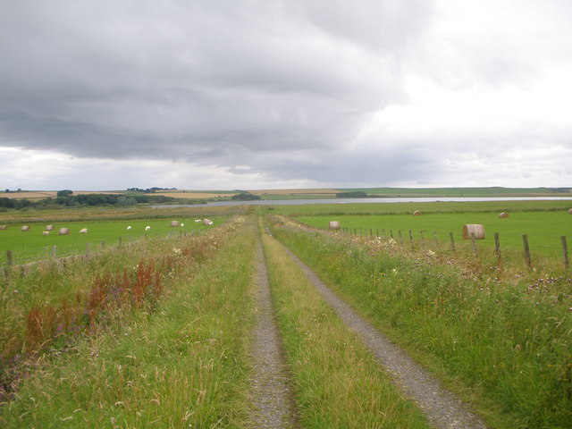
Images are sourced within 2km of 58.526307/-3.4091983 or Grid Reference ND1860. Thanks to Geograph Open Source API. All images are credited.

Crowsnest Level  Crossing Gate Private level crossing at The Crowsnest
Crowsnest Level Crossing Gate
Private level crossing at The Crowsnest
Crowsnest Cottage This may, at one time, have been the level crossing gateman's house. It certainly was occupied in the late 1960's by a gentleman who was a guard on the railway.
Crowsnest Cottage
This may, at one time, have been the level crossing gateman's house. It certainly was occupied in the late 1960's by a gentleman who was a guard on the railway.
House Name Plate A close-up of the Crowsnest Cottage nameplate. It is made to look like the type of number plate fitted fitted to steam locomotives about the beginning of the last century.
House Name Plate
A close-up of the Crowsnest Cottage nameplate. It is made to look like the type of number plate fitted fitted to steam locomotives about the beginning of the last century.
Railway Track From Crowsnest Crossing, looking in the direction of Georgemas Junction. Also shows milepost 149.
Railway Track
From Crowsnest Crossing, looking in the direction of Georgemas Junction. Also shows milepost 149.
Wick Railway Line Excursion setting out from Georgemas Jn towards Wick.
Wick Railway Line
Excursion setting out from Georgemas Jn towards Wick.
Clayock Farmland View Good arable land viewed from a train on the way to Wick.
Clayock Farmland View
Good arable land viewed from a train on the way to Wick.
Clayock Farmland A quick glimpse of this rich Caithness farmland viewed in late October.
Clayock Farmland
A quick glimpse of this rich Caithness farmland viewed in late October.
Clayock Farmland Drainage Several ditches help to drain this area of arable land with the water running into a small marsh to the west of Loch Scarmclate. A quick view from a passing train in late October.
Clayock Farmland Drainage
Several ditches help to drain this area of arable land with the water running into a small marsh to the west of Loch Scarmclate. A quick view from a passing train in late October.
Towards Loch Scarmclate A quick glimpse of this attractive wee loch viewed from a passing train on a fine late-October day.
Towards Loch Scarmclate
A quick glimpse of this attractive wee loch viewed from a passing train on a fine late-October day.
Loch Scarmclate View A quick glimpse of this attractive wee loch, which lies in the next square beyond the arable fields next to the railway line.
Loch Scarmclate View
A quick glimpse of this attractive wee loch, which lies in the next square beyond the arable fields next to the railway line.
Grazing Land Near Loch Scarmclate A quick glimpse from a passing train on a fine late-October day. Loch Scarmclate lies in the next square.
Grazing Land Near Loch Scarmclate
A quick glimpse from a passing train on a fine late-October day. Loch Scarmclate lies in the next square.
Track to Stemster House
Railway Line to Wick Taken from the bridge on the A882 looking East.  Loch Scarmclate is in the distance.
Railway Line to Wick
Taken from the bridge on the A882 looking East. Loch Scarmclate is in the distance.
Clayock Farm
Clayock Farm
Track to Loch Scarmclate
Farm track to Loch Scarmclate
Skew Bridge at Clayock Picture shows the skew bridge over the railway at Clayock.
It has been recorded that the cuttings at both sides of the bridge have been filled with snow,up to the level of the top of the arch.
Skew Bridge at Clayock
Picture shows the skew bridge over the railway at Clayock. It has been recorded that the cuttings at both sides of the bridge have been filled with snow,up to the level of the top of the arch.
Skew Bridge at Clayock Picture shows the brickwork courses and the bridge identification number 344.
Skew Bridge at Clayock
Picture shows the brickwork courses and the bridge identification number 344.
Show me another place!

Knockdee is located at Grid Ref: ND1860 (Lat: 58.526307, Lng: -3.4091983)

Unitary Authority: Highland

Police Authority: Highlands and Islands

What 3 Words

///custom.blacken.chatting. Near Halkirk, Highland

Nearby Locations

Knockdee

Related Wikis

Georgemas

Georgemas is an area in the county of Caithness, in the Highland area of Scotland, about 8 kilometres (5.0 mi) south of the town of Thurso and about two...

Bower railway station

Bower was a railway station located near Loch Scarmclate, Highland between Halkirk and Wick. The station opened on 28 July 1874. It was one of a number...

Georgemas Junction railway station

Georgemas Junction railway station is a railway station located in the Highland council area in the far north of Scotland. It serves several rural hamlets...

Roadside, Caithness

Roadside is a small village, located at the junction of the A9 trunk road and the B874, 1 mile south of Sordale in Caithness, Scottish Highlands and is...

Nearby Amenities

Located within 500m of 58.526307,-3.4091983
Stemster House
Place: hamlet
Lat/Long: 58.5275873/-3.410229
Power: pole
Lat/Long: 58.528156/-3.409471
Power: pole
Lat/Long: 58.5285503/-3.4087908
Power: pole
Lat/Long: 58.5291153/-3.4077959
Power: pole
Lat/Long: 58.5295986/-3.4069675
Power: pole
Lat/Long: 58.5301732/-3.4059442
Power: pole
Lat/Long: 58.5287915/-3.4160079
Power: pole
Lat/Long: 58.5285646/-3.4147186
Power: pole
Lat/Long: 58.5283452/-3.4134293
Power: pole
Lat/Long: 58.5281385/-3.4121724
Power: pole
Lat/Long: 58.5282519/-3.4111451
Power: pole
Lat/Long: 58.5283579/-3.4101908
The data included in this document is from www.openstreetmap.org. The data is made available under ODbL.

Have you been to Knockdee?

Leave your review of Knockdee below (or comments, questions and feedback).