Kirkton of Tealing

Settlement in Angus

Scotland

Kirkton of Tealing

Cross House crossroads Geocaching is a type of global treasure hunt of people looking for caches, or hidden stashes of objects. Geocaching may also be described as a series of hide-and-seek games, where hiders provide online clues for seekers. Seekers use global positioning system (GPS) devices to find hidden caches
Cross House crossroads Credit: Ralph Greig

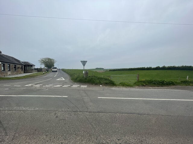
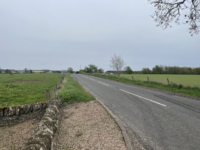
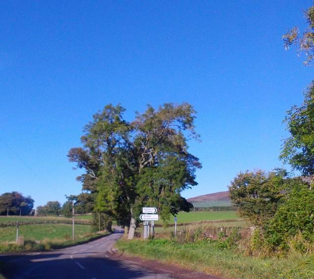
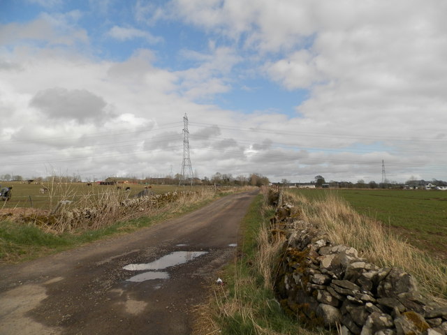
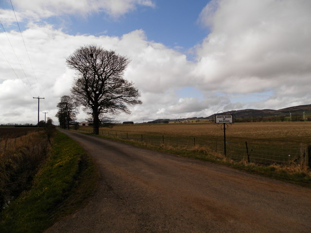
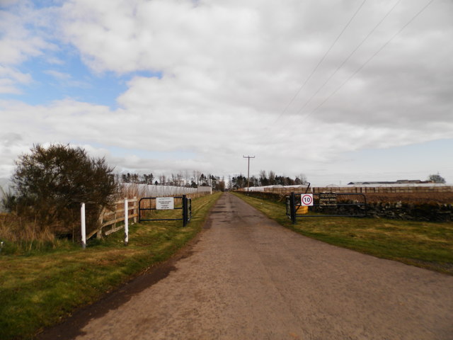
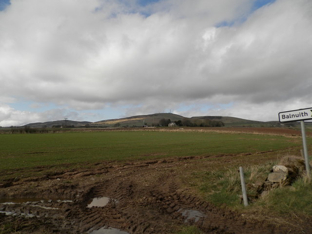
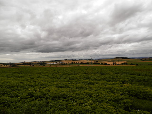
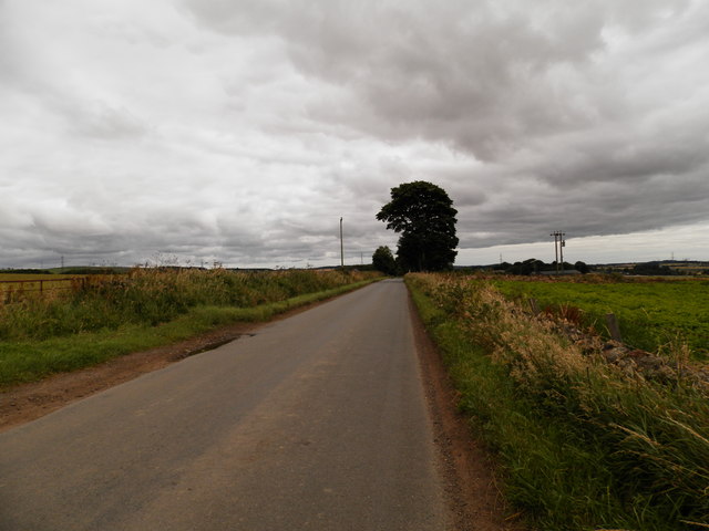
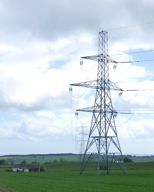
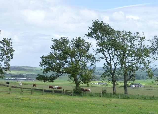
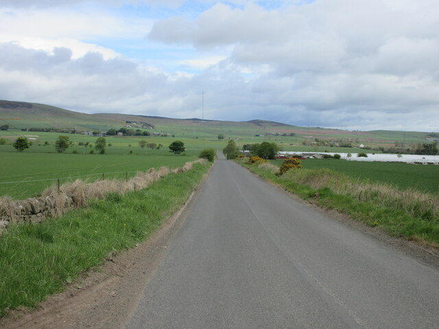
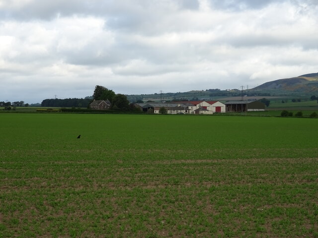
Kirkton of Tealing is a small village located in the Angus region of Scotland. Situated approximately eight miles north of Dundee, it lies on the southern slopes of the Sidlaw Hills. The village is surrounded by picturesque countryside and offers stunning views of the nearby hills and valleys.

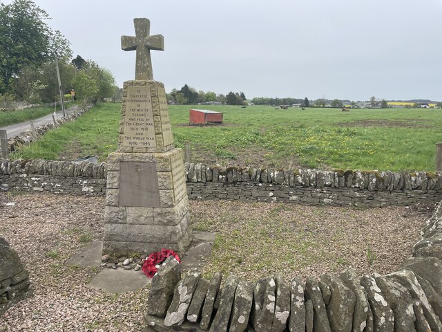
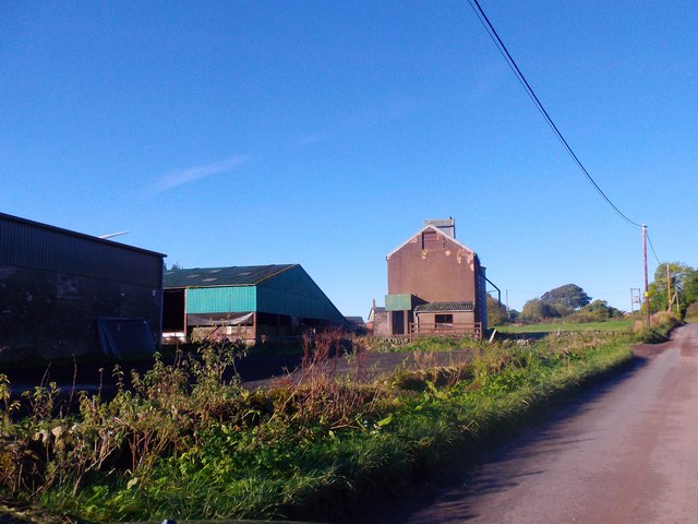
With a population of around 700 people, Kirkton of Tealing has a tight-knit community atmosphere. The village is known for its charming and well-preserved traditional stone houses, which add to its rustic and historic appeal. The heart of the village is home to a small square, where the local church and a few shops can be found.

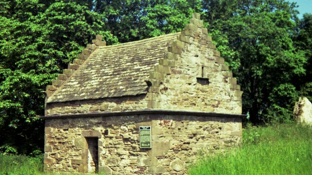
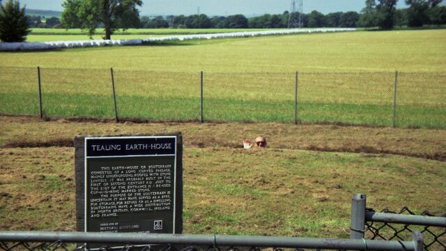
One of the main attractions in Kirkton of Tealing is the historic Tealing Earth House. This remarkable underground dwelling is thought to date back to the Iron Age and provides visitors with a unique glimpse into the past. The village also boasts a local primary school, which serves the surrounding area.

Kirkton of Tealing is ideally located for those who enjoy outdoor activities. The nearby Sidlaw Hills offer numerous walking and cycling routes, providing opportunities to explore the countryside and enjoy the fresh air. Additionally, the village is just a short drive from the Angus Glens, renowned for their beautiful landscapes and wildlife.

Overall, Kirkton of Tealing is a charming and peaceful village, perfect for those seeking a rural retreat while still being within easy reach of larger towns and cities. Its rich history, natural beauty, and welcoming community make it a truly special place to visit or call home.

If you have any feedback on the listing, please let us know in the comments section below.

Kirkton of Tealing Images

Images are sourced within 2km of 56.529931/-2.9714254 or Grid Reference NO4037. Thanks to Geograph Open Source API. All images are credited.

Cross House crossroads Geocaching is a type of global treasure hunt of people looking for caches, or hidden stashes of objects. Geocaching may also be described as a series of hide-and-seek games, where hiders provide online clues for seekers. Seekers use global positioning system (GPS) devices to find hidden caches
Cross House crossroads
Geocaching is a type of global treasure hunt of people looking for caches, or hidden stashes of objects. Geocaching may also be described as a series of hide-and-seek games, where hiders provide online clues for seekers. Seekers use global positioning system (GPS) devices to find hidden caches
Tealing Doocot in 1992
Tealing Earth House in 1992 The depth can be gauged in this view, which apart from the sign shows little
Tealing Earth House in 1992
The depth can be gauged in this view, which apart from the sign shows little
Tealing Memorial Geocaching is a type of global treasure hunt of people looking for caches, or hidden stashes of objects. Geocaching may also be described as a series of hide-and-seek games, where hiders provide online clues for seekers. Seekers use global positioning system (GPS) devices to find hidden caches
Tealing Memorial
Geocaching is a type of global treasure hunt of people looking for caches, or hidden stashes of objects. Geocaching may also be described as a series of hide-and-seek games, where hiders provide online clues for seekers. Seekers use global positioning system (GPS) devices to find hidden caches
Road into Tealing Geocaching is a type of global treasure hunt of people looking for caches, or hidden stashes of objects. Geocaching may also be described as a series of hide-and-seek games, where hiders provide online clues for seekers. Seekers use global positioning system (GPS) devices to find hidden caches
Road into Tealing
Geocaching is a type of global treasure hunt of people looking for caches, or hidden stashes of objects. Geocaching may also be described as a series of hide-and-seek games, where hiders provide online clues for seekers. Seekers use global positioning system (GPS) devices to find hidden caches
Cross House crossroads Right to Hillside of Prieston, left to Strathmartine/Dundee. Ahead to Balkemback Farm.
Cross House crossroads
Right to Hillside of Prieston, left to Strathmartine/Dundee. Ahead to Balkemback Farm.
Balkemback Farm steadings By minor road from Tealing to Kirkton of Auchterhouse.
Balkemback Farm steadings
By minor road from Tealing to Kirkton of Auchterhouse.
Farm track to Balnuith
Farm road to North Mains of Baldovan
Service road to electricity sub-station One of Scottish Hydro's(SSE) sub-stations
Service road to electricity sub-station
One of Scottish Hydro's(SSE) sub-stations
Field near Balnuith The Sidlaws are in the centre background.
Field near Balnuith
The Sidlaws are in the centre background.
Potato field near Balkemback Farm
Unclassified road between Auchterhouse and Tealing
Pylons near Prieston Farm Heading to the electrical substation at Myreton of Claverhouse.
Pylons near Prieston Farm
Heading to the electrical substation at Myreton of Claverhouse.
Farms on the southern slopes of the Sidlaw Hills With crops and animals.
Farms on the southern slopes of the Sidlaw Hills
With crops and animals.
Old Milestone by Crossroads Cottage, Balkemback Milestone by the UC, in parish of Tealing (Angus District), Cross Roads Cottage, Balkemback, minor crossroads, by 'Give Way' sign.

Surveyed

Milestone Society National ID: AN_DDAH06bb
Old Milestone by Crossroads Cottage, Balkemback
Milestone by the UC, in parish of Tealing (Angus District), Cross Roads Cottage, Balkemback, minor crossroads, by 'Give Way' sign. Surveyed Milestone Society National ID: AN_DDAH06bb
Road to Tealing Minor road heading north between Dundee and Tealing, with the Angus Transmitter on the horizon.
Road to Tealing
Minor road heading north between Dundee and Tealing, with the Angus Transmitter on the horizon.
Crop field towards Mains of Baldovan
Show me another place!

Kirkton of Tealing is located at Grid Ref: NO4037 (Lat: 56.529931, Lng: -2.9714254)

Unitary Authority: Angus

Police Authority: Tayside

What 3 Words

///sadly.chop.bits. Near Muirhead, Angus

Nearby Locations

Kirkton of Tealing

Related Wikis

RAF Tealing

Royal Air Force Tealing or more simply RAF Tealing is a former Royal Air Force station located at Tealing, Angus, Scotland. == Overview == During the Second...

Tealing

Tealing (Scottish Gaelic: Tèalainn) is a village in Angus in eastern Scotland, nestled at the foot of the Sidlaw Hills. It is just 6 miles (9.7 km) north...

Inveraldie

Inveraldie is a village in Angus, Scotland. It lies on the north-bound side of the A90 road, two miles north of Dundee. == References ==

Balluderon Stone

The Balluderon Stone, otherwise known as Martin's Stone is a class II Pictish cross slab in situ at Balluderon, Angus, Scotland. == Description == A slab...

Nearby Amenities

Located within 500m of 56.529931,-2.9714254
Bus Stop
Tealing School
Naptan AtcoCode: 6490IM370
Naptan Bearing: S
Naptan BusStopType: CUS
Naptan CommonName: Tealing School
Naptan Indicator: at School
Naptan Landmark: Tealing School
Naptan NaptanCode: 26425728
Naptan Street: Tealing School
Naptan Verified: no
Source: naptan_import
Lat/Long: 56.5341833/-2.9691115
Kirkton of Tealing
Place: village
Lat/Long: 56.5300051/-2.9712455
Design: barrel
Power: tower
Lat/Long: 56.5272201/-2.9769809
Design: barrel
Power: tower
Lat/Long: 56.5307806/-2.9760319
Historic: memorial
Lat/Long: 56.5327258/-2.9699333
Tealing
Traffic Sign: city_limit
Traffic Sign Direction: forward
Lat/Long: 56.5331845/-2.9661024
Power: pole
Lat/Long: 56.5342706/-2.972275
Power: pole
Lat/Long: 56.5312466/-2.9752742
Power: pole
Lat/Long: 56.5319543/-2.9743087
Power: pole
Lat/Long: 56.5325249/-2.9735096
Power: pole
Lat/Long: 56.5330997/-2.97269
Power: pole
Lat/Long: 56.5335616/-2.9720548
Power: pole
Lat/Long: 56.5342593/-2.9710866
Power: pole
Lat/Long: 56.5301421/-2.9756559
Power: pole
Lat/Long: 56.5300206/-2.9746442
Power: pole
Lat/Long: 56.5298977/-2.9736581
Power: pole
Lat/Long: 56.5297946/-2.9728385
Power: pole
Lat/Long: 56.5302226/-2.9764754
Power: pole
Lat/Long: 56.5300502/-2.9780455
Power: pole
Lat/Long: 56.529885/-2.9794874
The data included in this document is from www.openstreetmap.org. The data is made available under ODbL.

Have you been to Kirkton of Tealing?

Leave your review of Kirkton of Tealing below (or comments, questions and feedback).