Keppoch

Settlement in Ross-shire

Scotland

Keppoch

A87 near Inverinate
A87 near Inverinate Credit: Steven Brown

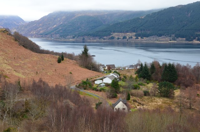
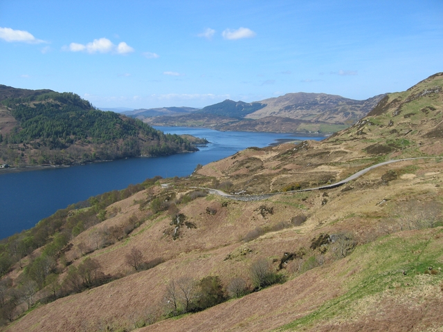
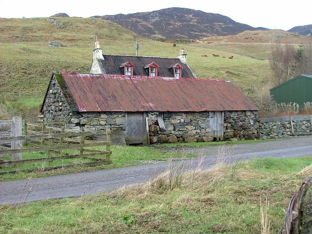
Keppoch is a small village located in the county of Ross-shire, situated in the Scottish Highlands. It is nestled amidst the picturesque landscape of the region, surrounded by rolling hills, lush green meadows, and pristine lochs. The village is part of the wider parish of Killearnan.

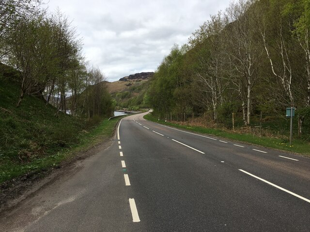
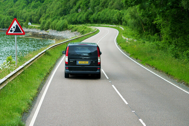
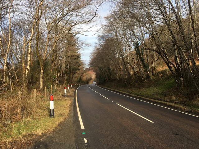
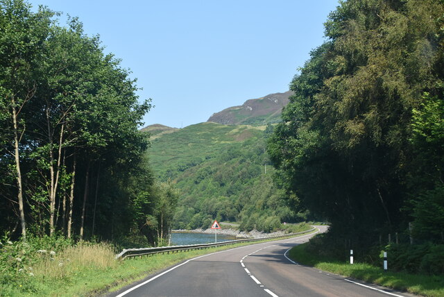
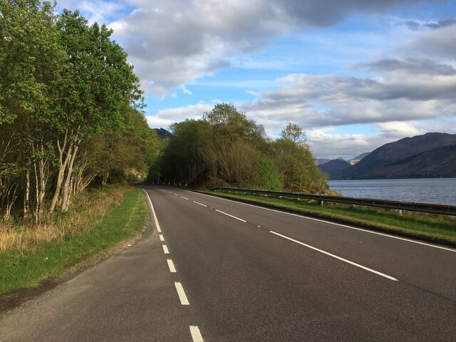
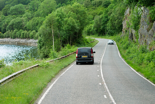
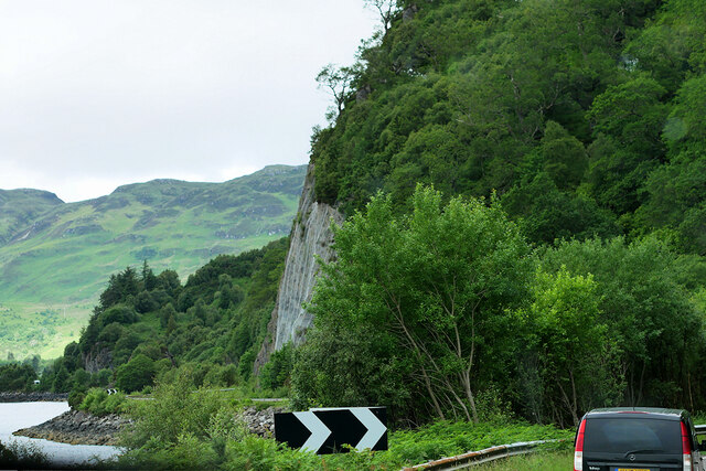
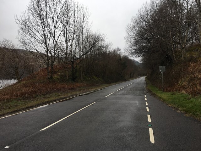
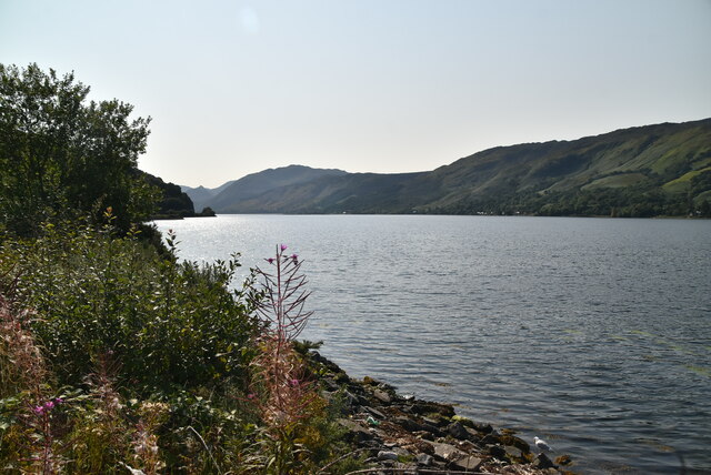
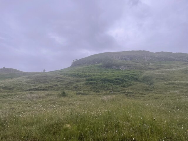
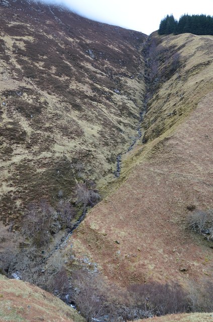
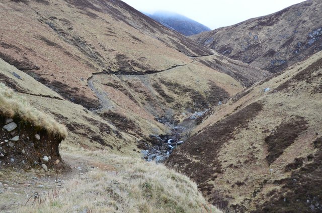
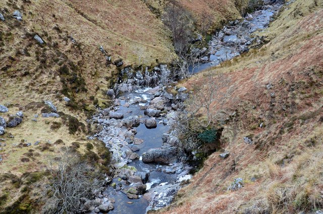
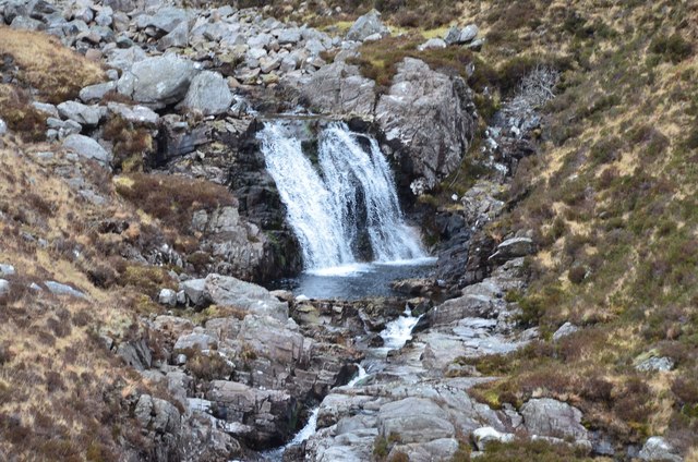
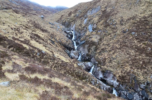
Keppoch is renowned for its natural beauty and serves as a popular destination for outdoor enthusiasts and nature lovers. The area offers a plethora of activities, including hiking, cycling, fishing, and bird-watching. The stunning scenery provides a backdrop for tranquil walks and invigorating hikes, with numerous trails catering to all levels of fitness.

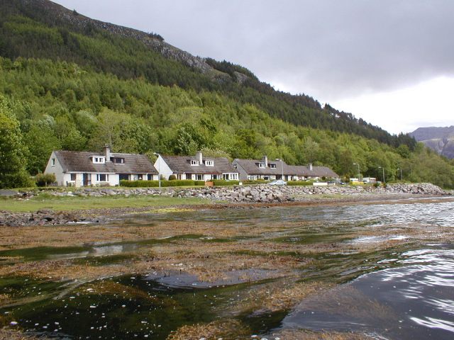
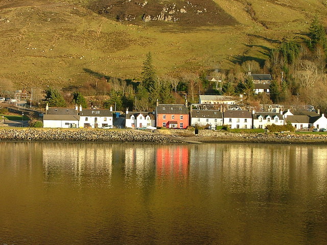
The village itself is home to a tight-knit community, with a population of approximately 500 residents. It features a few local amenities, such as a community center, a small grocery store, and a charming village pub. The community center serves as a hub for various events and social gatherings, fostering a sense of camaraderie among the locals.

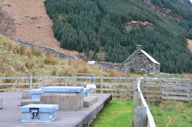
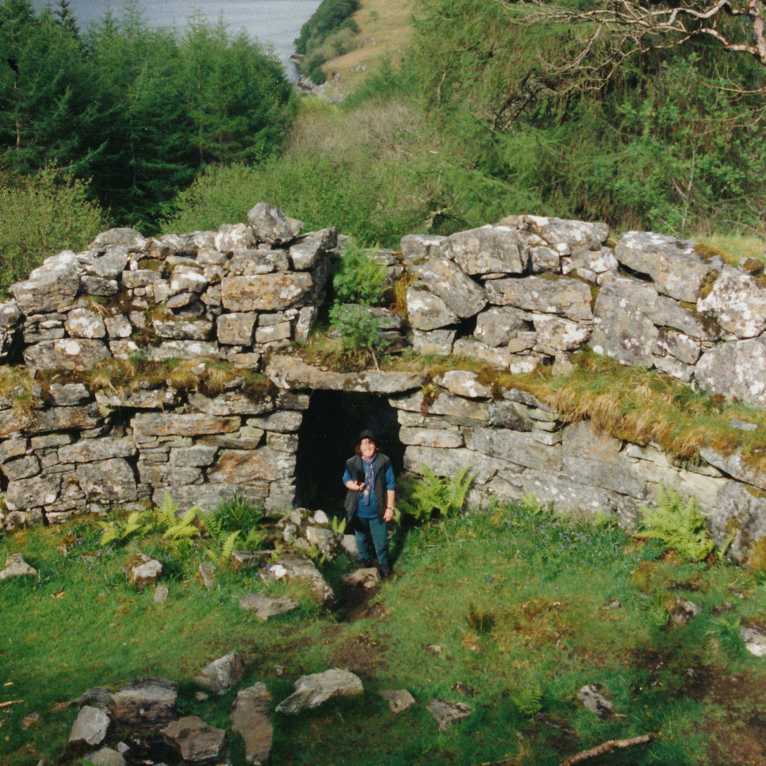
Keppoch is not only a haven for nature enthusiasts but also boasts a rich history. The area is dotted with ancient ruins and historical landmarks, offering visitors a glimpse into the past. Notable attractions include Keppoch House, a grand mansion dating back to the 17th century, and the ruins of Killearnan Church, an ancient place of worship.

Overall, Keppoch is a hidden gem nestled within the Scottish Highlands, offering a perfect blend of natural beauty, outdoor activities, and a welcoming community.

If you have any feedback on the listing, please let us know in the comments section below.

Keppoch Images

Images are sourced within 2km of 57.262357/-5.4839089 or Grid Reference NG8924. Thanks to Geograph Open Source API. All images are credited.

A87 near Inverinate
A87 near Inverinate
A87, Loch Duich
A87, Loch Duich
A87 along Loch Duich
A87 by Loch Duich The A87 runs 99 miles from Invergarry to Uig on the Isle of Skye <a href="https://www.geograph.org.uk/photo/7374675">NG3863 : End of the A87, Uig</a>.
<span class="nowrap"><a title="https://www.sabre-roads.org.uk/wiki/index.php?title=A87" rel="nofollow ugc noopener" href="https://www.sabre-roads.org.uk/wiki/index.php?title=A87">Link</a><img style="margin-left:2px;" alt="External link" title="External link - shift click to open in new window" src="https://s1.geograph.org.uk/img/external.png" width="10" height="10"/></span>
A87 by Loch Duich
The A87 runs 99 miles from Invergarry to Uig on the Isle of Skye NG3863 : End of the A87, Uig. LinkExternal link
A87 near Dornie
A87 near Dornie
Westbound A87 alongside Loch Duich The A87 is a primary route  in the Highland region of Scotland. It runs west for 99 miles from its junction with the A82 at Invergarry, along the north shores of Loch Garry and Loch Cluanie, then through Glen Shiel and along Loch Duich to Kyle of Lochalsh before crossing the Skye Bridge to Kyleakin, Broadford, and Portree, before terminating at Uig in the north of the Isle of Skye.
Westbound A87 alongside Loch Duich
The A87 is a primary route in the Highland region of Scotland. It runs west for 99 miles from its junction with the A82 at Invergarry, along the north shores of Loch Garry and Loch Cluanie, then through Glen Shiel and along Loch Duich to Kyle of Lochalsh before crossing the Skye Bridge to Kyleakin, Broadford, and Portree, before terminating at Uig in the north of the Isle of Skye.
Rock Face above the A87 and Loch Duich
A87 near Eilean Donan Castle
A87 towards Dornie
A87 towards Dornie
Loch Duich
Loch Duich
Looking up at the hill not down at the castle Geocaching is a type of global treasure hunt of people looking for caches, or hidden stashes of objects. Geocaching may also be described as a series of hide-and-seek games, where hiders provide online clues for seekers. Seekers use global positioning system (GPS) devices to find hidden caches
Looking up at the hill not down at the castle
Geocaching is a type of global treasure hunt of people looking for caches, or hidden stashes of objects. Geocaching may also be described as a series of hide-and-seek games, where hiders provide online clues for seekers. Seekers use global positioning system (GPS) devices to find hidden caches
Water treatment installation A water treatment plant near the An Leth-allt, maybe as the supply for houses below on the minor road over Carr Brae.
Water treatment installation
A water treatment plant near the An Leth-allt, maybe as the supply for houses below on the minor road over Carr Brae.
Houses above Loch Duich Houses by the minor road from Inverinate to Dornie.
Houses above Loch Duich
Houses by the minor road from Inverinate to Dornie.
Stream gully, Sgurr an Uillt Tharsuinn A steep and fairly straight gully descending about 300m to the An Leth-allt.
Stream gully, Sgurr an Uillt Tharsuinn
A steep and fairly straight gully descending about 300m to the An Leth-allt.
Path above the An Leth-allt A well-made path contours into this steep-sided glen.
Path above the An Leth-allt
A well-made path contours into this steep-sided glen.
An Leth-allt The rocky bed of the burn in its steep V-shaped valley.
An Leth-allt
The rocky bed of the burn in its steep V-shaped valley.
Waterfall on the An Leth-allt
Waterfalls on the An Leth-allt A cascade of falls in this narrow rocky burn.
Waterfalls on the An Leth-allt
A cascade of falls in this narrow rocky burn.
Show me another place!

Keppoch is located at Grid Ref: NG8924 (Lat: 57.262357, Lng: -5.4839089)

Unitary Authority: Highland

Police Authority: Highlands and Islands

What 3 Words

///cherished.universally.scariest. Near Glenelg, Highland

Nearby Locations

Keppoch

Related Wikis

Letterfearn

Letterfearn (Scottish Gaelic: Leitir Fheàrna) is a settlement that lies of the western shore of Loch Duich in Skye and Lochalsh, Highlands of Scotland...

Inverinate

Inverinate (Scottish Gaelic: Inbhir Ìonaid) is a small linear village on the north shore of Loch Duich in Lochalsh, Scottish Highlands and is in the Scottish...

Eilean Donan

Eilean Donan (Scottish Gaelic: Eilean Donnain) is a small tidal island situated at the confluence of three sea lochs (Loch Duich, Loch Long and Loch Alsh...

Capture of Eilean Donan Castle

The Capture of Eilean Donan Castle was a land-based naval engagement that took place in 1719 during the British Jacobite rising of that year, and the War...

Dornie

Dornie (Scottish Gaelic: An Dòrnaidh) is a small former fishing village in the Lochalsh district in western Ross-shire Highlands of Scotland (2006 census...

Caisteal Grugaig

Caisteal Grugaig (or Dun Totaig) is an Iron Age broch near the eastern end of Loch Alsh in the Scottish Highlands (grid reference NG86682508). == Location... ==

Loch Duich

Loch Duich (Scottish Gaelic: "Loch Dubhthaich") is a sea loch situated on the western coast of Scotland, in the Highlands. == History == In 1719, British...

Ardelve

Ardelve (Scottish Gaelic: Àird Eilbh) is a village in Highland, Scotland, on Loch Alsh. It overlooks the Eilean Donan Castle, which is in Dornie, also...

Related Videos

Eilean Donan Castle - Travel Vlog in Scotland

Eilean Donan Castle is one of the most recognisable castles in the world. It stands on an island where three lochs meet in the ...

James Bond 007 and Scotland #youtube #travel #holiday #scotland #jamesbond #007youtubeshorts

James Bond 007 and Scotland #shorts #live #youtube #funnyshorts #scotland #jamesbond #highlander #highlands #alpha ...

Eilean Donan Castle #shorts #travel #castle #scotland

Eilean Donan Castle. #travel #traveling #traveler #travelvlog #travelvlogger #travelvlogs #travelblog #travelblogger #travelvideo ...

A rainy day in Dornie

Looking at the end of the Bundalloch road on a very wet day.

Nearby Amenities

Located within 500m of 57.262357,-5.4839089
Created By: Merkaartor 0.12
Lat/Long: 57.2645459/-5.491132
Created By: Merkaartor 0.12
Lat/Long: 57.264384/-5.49095
Created By: Merkaartor 0.12
Lat/Long: 57.264234/-5.490785
Created By: Merkaartor 0.12
Lat/Long: 57.26408/-5.490644
Created By: Merkaartor 0.12
Lat/Long: 57.2638149/-5.490389
Created By: Merkaartor 0.12
Lat/Long: 57.263746/-5.490147
Created By: Merkaartor 0.12
Lat/Long: 57.263716/-5.489828
Created By: Merkaartor 0.12
Lat/Long: 57.263675/-5.489323
Created By: Merkaartor 0.12
Lat/Long: 57.263561/-5.4887269
Created By: Merkaartor 0.12
Lat/Long: 57.263762/-5.485715
Created By: Merkaartor 0.12
Lat/Long: 57.263616/-5.485454
Created By: Merkaartor 0.12
Lat/Long: 57.263347/-5.485148
Created By: Merkaartor 0.12
Lat/Long: 57.2626039/-5.484319
Created By: Merkaartor 0.12
Lat/Long: 57.262468/-5.4841249
Created By: Merkaartor 0.12
Lat/Long: 57.2619309/-5.483194
Created By: Merkaartor 0.12
Lat/Long: 57.261636/-5.483039
Created By: Merkaartor 0.12
Lat/Long: 57.2611119/-5.482852
Created By: Merkaartor 0.12
Lat/Long: 57.2603899/-5.482478
Created By: Merkaartor 0.12
Lat/Long: 57.259782/-5.482006
Created By: Merkaartor 0.12
Lat/Long: 57.259302/-5.4815799
Created By: Merkaartor 0.12
Lat/Long: 57.258872/-5.4811469
Created By: Merkaartor 0.12
Lat/Long: 57.258557/-5.480724
Created By: Merkaartor 0.12
Lat/Long: 57.2584079/-5.48049
Barrier: cattle_grid
Source: survey
Lat/Long: 57.2622/-5.4834873
Keppoch
Place: farm
Lat/Long: 57.2624546/-5.4842475
Carr
Abandoned: village
Place: locality
Lat/Long: 57.2619971/-5.4874778
Tourism: viewpoint
Lat/Long: 57.2623385/-5.4909567
Barrier: kissing_gate
Lat/Long: 57.2637672/-5.4903643
Power: pole
Lat/Long: 57.2648573/-5.4904399
Power: pole
Lat/Long: 57.2641302/-5.4895847
Power: pole
Lat/Long: 57.2633389/-5.4886375
Power: pole
Lat/Long: 57.2627847/-5.48801
Power: pole
Lat/Long: 57.2622528/-5.4873631
Power: pole
Lat/Long: 57.2618873/-5.4863238
Power: pole
Lat/Long: 57.2613331/-5.484657
Power: pole
Lat/Long: 57.2601211/-5.4839448
Power: pole
Lat/Long: 57.2594267/-5.4835111
Power: pole
Lat/Long: 57.2588279/-5.4830581
Power: pole
Lat/Long: 57.2579421/-5.4823628
Power: pole
Lat/Long: 57.2601408/-5.483671
Power: pole
Lat/Long: 57.2602194/-5.4830847
The data included in this document is from www.openstreetmap.org. The data is made available under ODbL.

Have you been to Keppoch?

Leave your review of Keppoch below (or comments, questions and feedback).