Kent's Oak
Settlement in Hampshire Test Valley
England
Kent's Oak
Kent's Oak is a small village located in the county of Hampshire, England. Situated in the picturesque South Downs National Park, the village is surrounded by rolling hills and scenic countryside. It is part of the East Hampshire district and lies approximately 7 miles east of the town of Alton.
The village derives its name from a prominent oak tree, known as Kent's Oak, which stands at the heart of the community. This ancient tree is believed to be over 500 years old and holds great historical significance. Legend has it that King Henry VIII once rested beneath its branches during a hunting expedition.
The village itself is characterized by its quaint charm and traditional English architecture. It boasts a small but vibrant community, with a population of around 500 residents. The village center features a few local amenities, including a primary school, a village hall, and a pub. The surrounding area offers ample opportunities for outdoor activities, such as hiking, cycling, and horse riding, thanks to its proximity to the South Downs.
Kent's Oak is also within easy reach of several attractions and landmarks. The historic market towns of Alton and Petersfield are nearby, offering a range of shops, restaurants, and cultural sites. The picturesque Selborne village, home to the famous naturalist Gilbert White, is just a short drive away.
Overall, Kent's Oak offers a peaceful and idyllic setting for those seeking a rural retreat amidst the natural beauty of Hampshire's countryside.
If you have any feedback on the listing, please let us know in the comments section below.
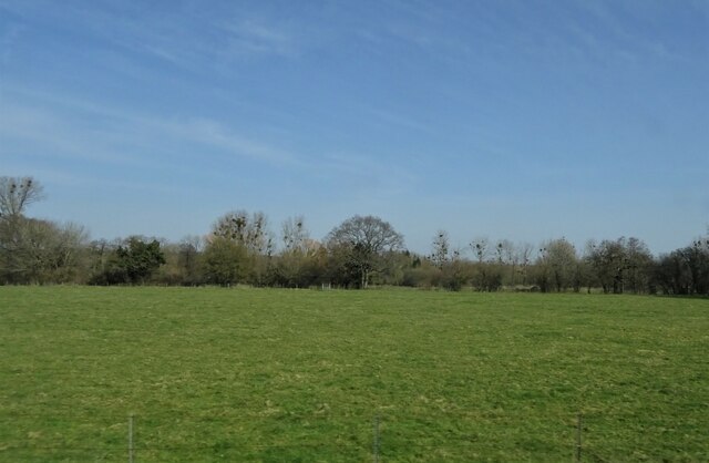
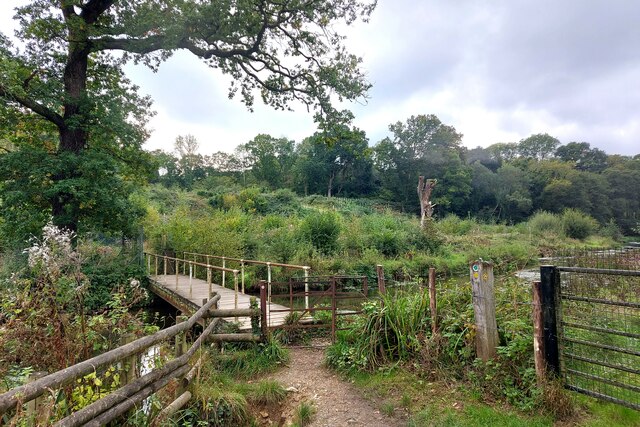
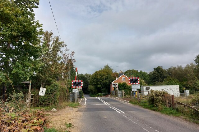
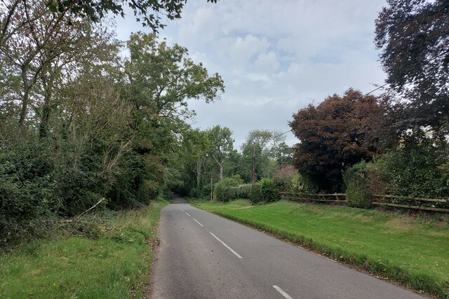
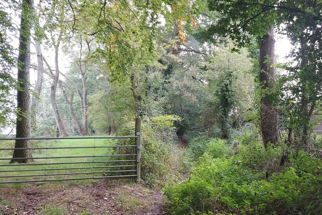
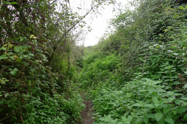
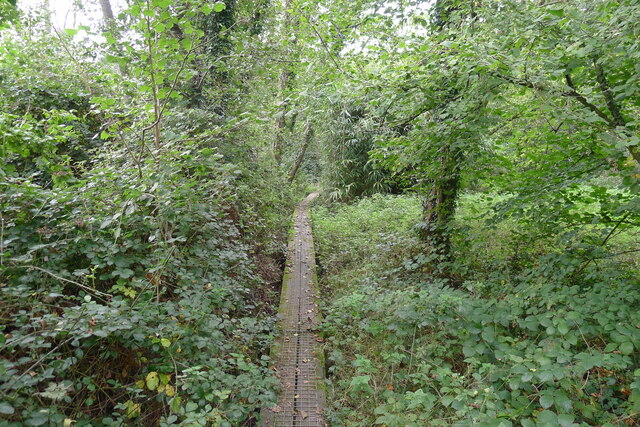
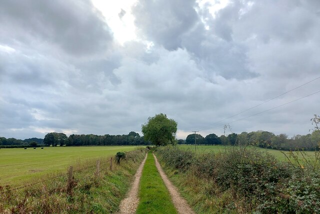
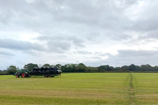
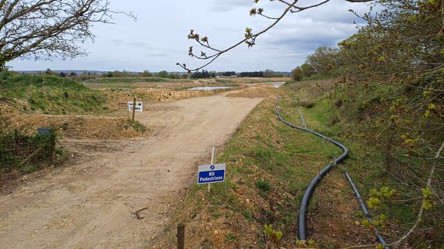
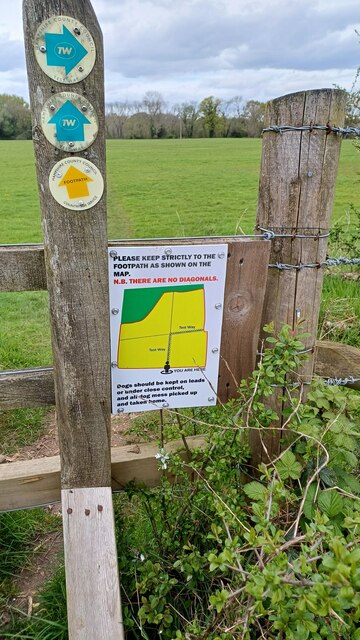
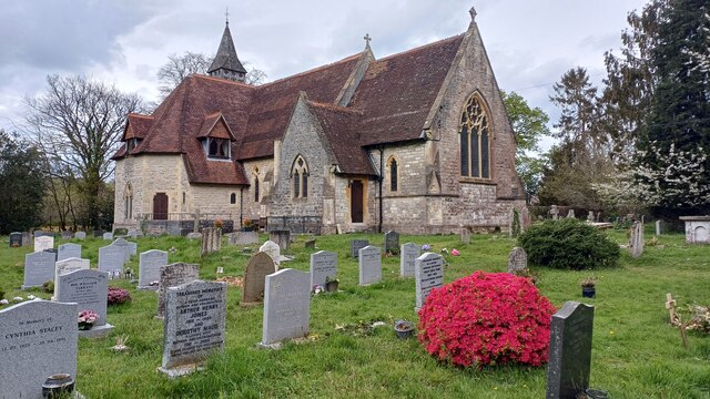
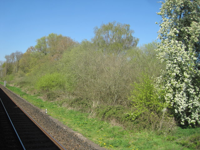
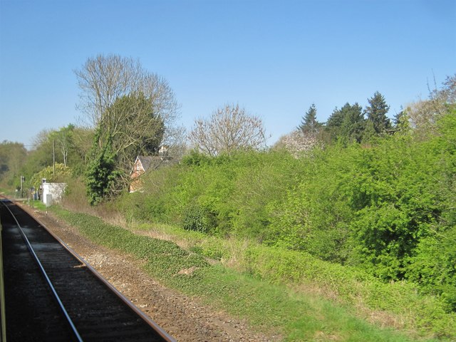
Kent's Oak Images
Images are sourced within 2km of 51.01613/-1.5450769 or Grid Reference SU3224. Thanks to Geograph Open Source API. All images are credited.
Kent's Oak is located at Grid Ref: SU3224 (Lat: 51.01613, Lng: -1.5450769)
Administrative County: Hampshire
District: Test Valley
Police Authority: Hampshire
What 3 Words
///purse.sneezed.hobbyists. Near Romsey, Hampshire
Related Wikis

Awbridge
Awbridge is a small village and civil parish in the Test Valley district of Hampshire, England, about three miles northwest of Romsey, and near the River...

Kimbridge
Kimbridge is a small village and civil parish in the Test Valley district of Hampshire, England. Its nearest town is Romsey, which lies approximately 4...

Dunwood Camp
Dunwood Camp is the site of an Iron Age hillfort located in Hampshire. It occupies the summit of a sandy hill. It has a single Rampart (fortification)...
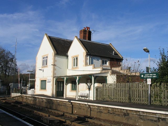
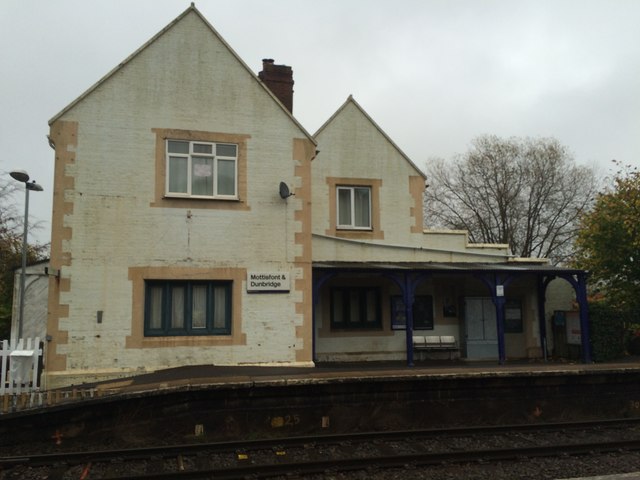
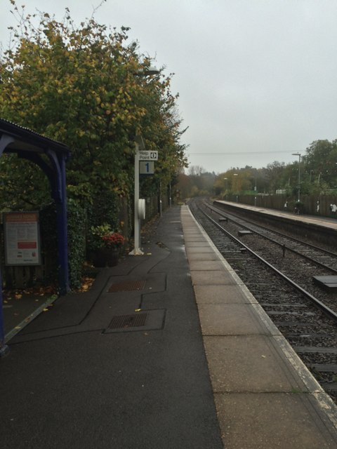
Mottisfont & Dunbridge railway station
Mottisfont & Dunbridge railway station serves the village of Dunbridge in Hampshire, England. It is on the Wessex Main Line, 84 miles 21 chains (135.6...
Nearby Amenities
Located within 500m of 51.01613,-1.5450769Have you been to Kent's Oak?
Leave your review of Kent's Oak below (or comments, questions and feedback).