Horraldshay
Settlement in Orkney
Scotland
Horraldshay
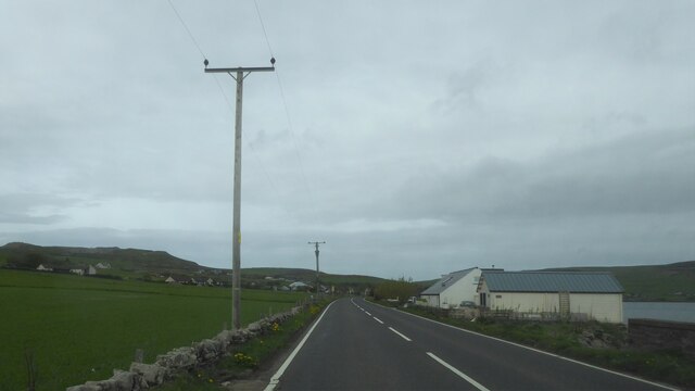
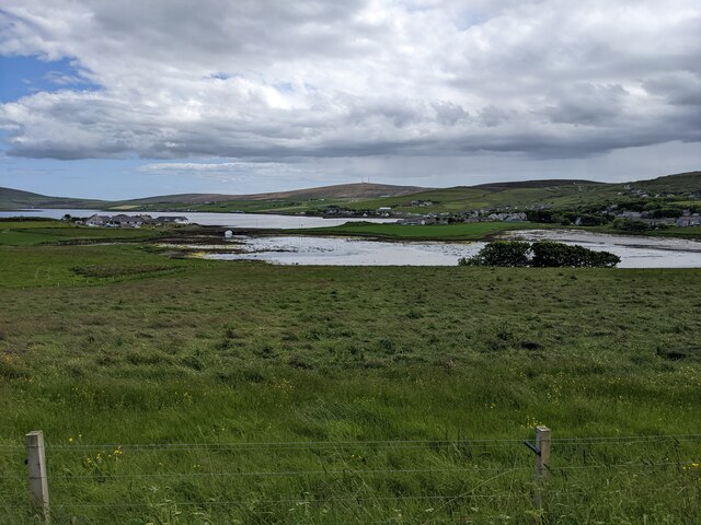
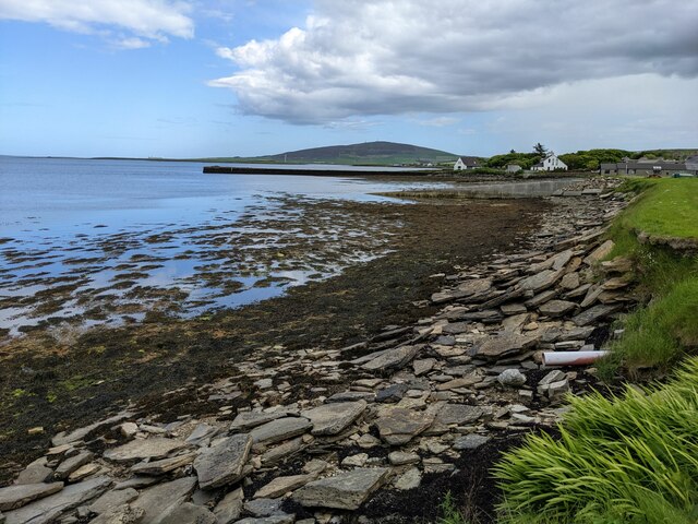
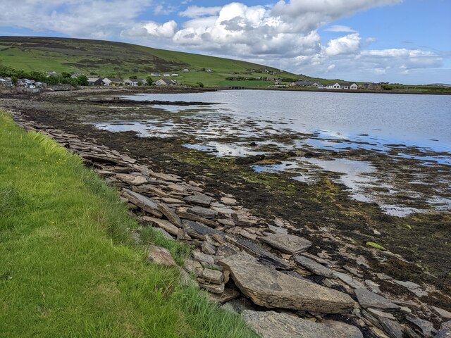
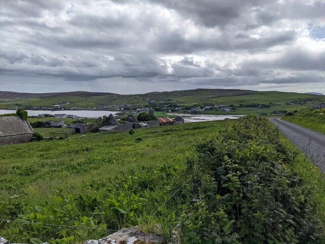
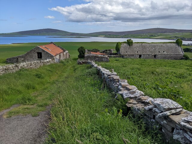
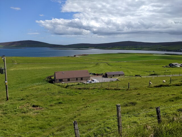
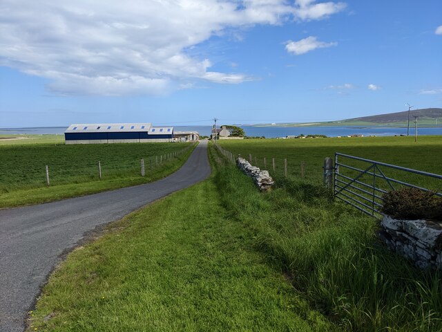
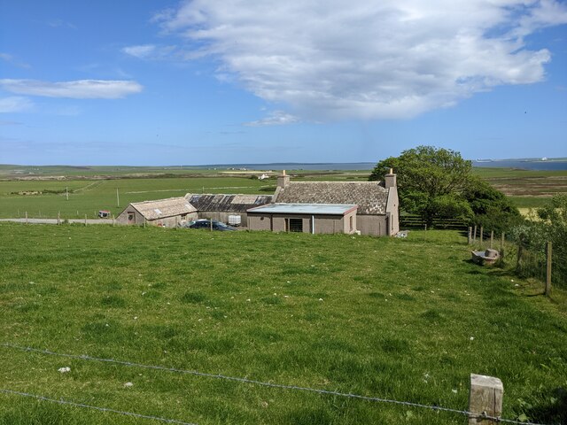
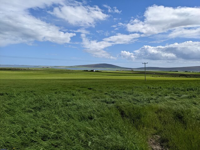
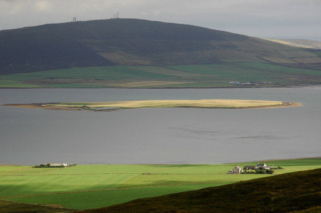
Horraldshay is a small village located on the island of Orkney, Scotland. Situated on the eastern coast of the archipelago, it is nestled between the towns of Kirkwall and Stromness. With a population of around 300 residents, Horraldshay offers a peaceful and picturesque setting for its inhabitants.
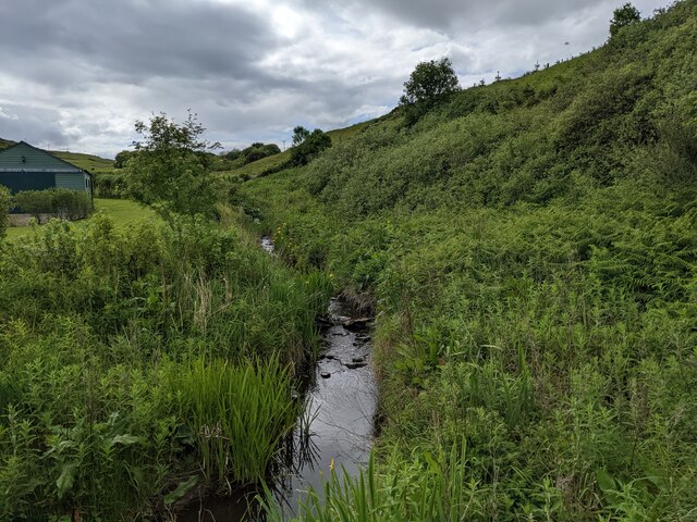
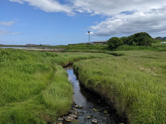
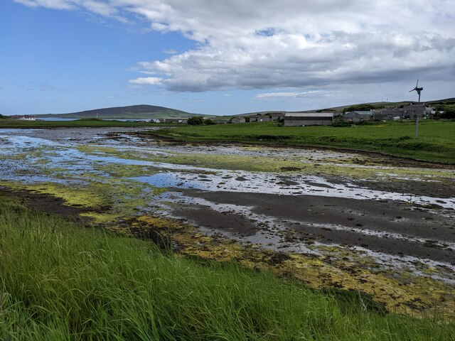
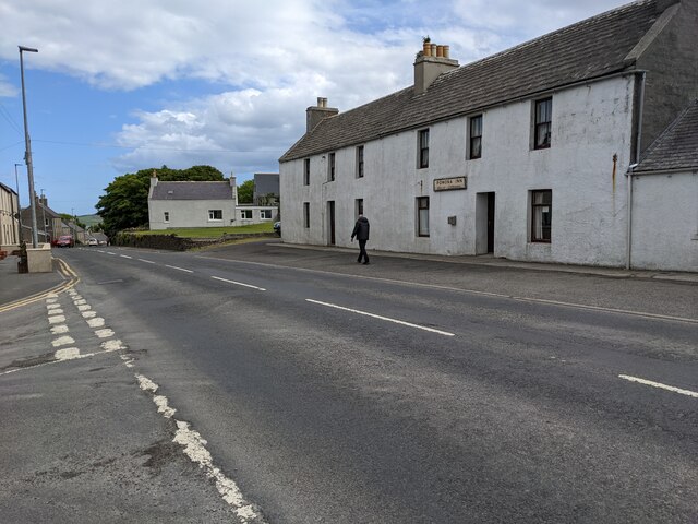
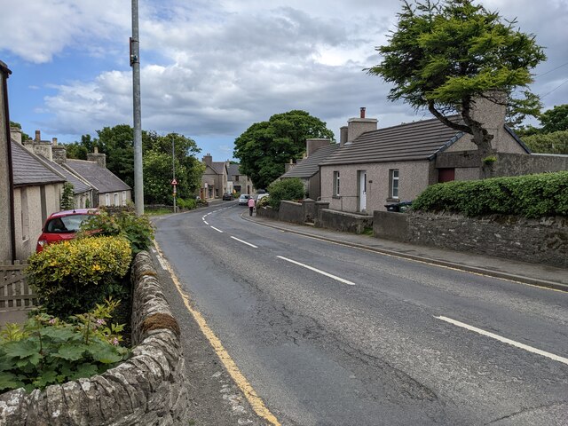
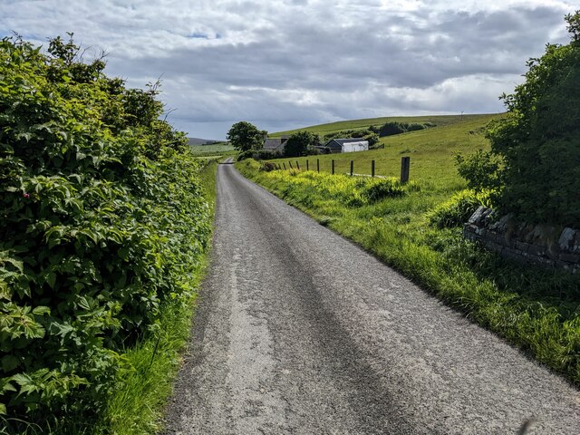
The village is known for its breathtaking natural beauty, with stunning views of the North Sea and the surrounding rolling countryside. The landscape is dotted with charming cottages, many of which date back several centuries, showcasing traditional Orkney architecture.
Agriculture plays a significant role in the local economy, and the fertile land around Horraldshay is primarily used for farming and grazing livestock. The village benefits from the rich soil and favorable climate, allowing for the cultivation of various crops and the rearing of animals.
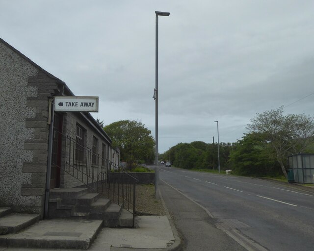
Horraldshay is also home to a close-knit community with a vibrant social scene. The village hall serves as a hub for social gatherings, events, and community activities, fostering a strong sense of belonging among residents. The village boasts a primary school, ensuring that children receive a quality education without the need for long commutes.
While Horraldshay may be small, it offers a tranquil and idyllic lifestyle for those seeking a slower pace of life. Its proximity to the beautiful Orkney landscapes, combined with its strong community spirit, make it an attractive place to live for those who appreciate the charm and serenity of rural Scottish living.
If you have any feedback on the listing, please let us know in the comments section below.
Horraldshay Images
Images are sourced within 2km of 59.018321/-3.1099053 or Grid Reference HY3615. Thanks to Geograph Open Source API. All images are credited.
Horraldshay is located at Grid Ref: HY3615 (Lat: 59.018321, Lng: -3.1099053)
Unitary Authority: Orkney Islands
Police Authority: Highlands and Islands
What 3 Words
///marginal.shell.happening. Near Finstown, Orkney Islands
Nearby Locations
Related Wikis
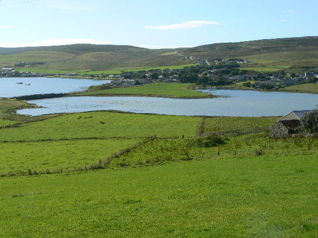
Finstown
Finstown (locally ) is a village in the parish of Firth on Mainland, Orkney, Scotland. It is the fourth-largest settlement in the Orkney Islands. According...

Holm of Grimbister
Holm of Grimbister is an inhabited tidal islet in the Orkney archipelago of Scotland. Located in the Bay of Firth near Finstown it is connected to Mainland...
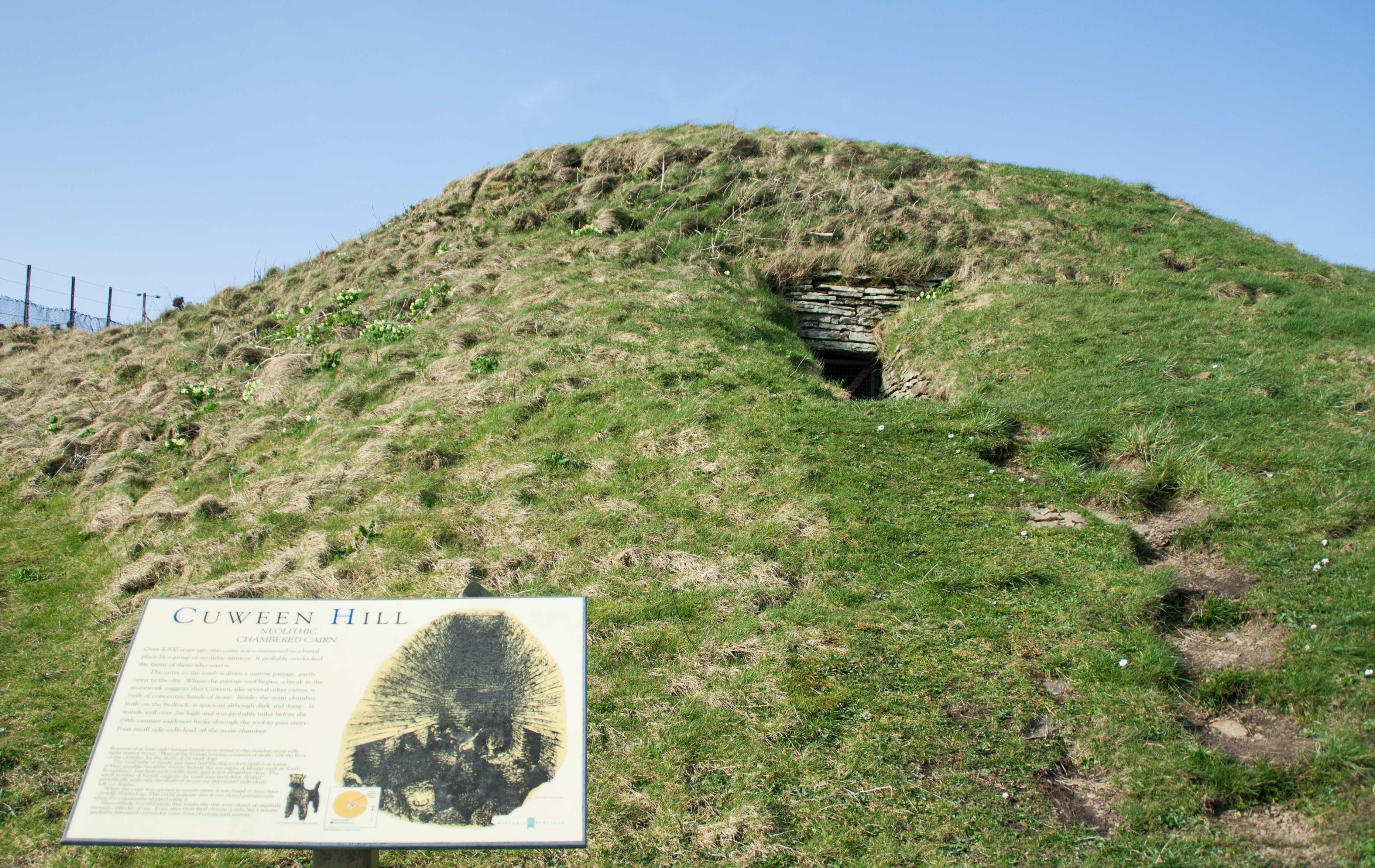
Cuween Hill Chambered Cairn
Cuween Hill Chambered Cairn (grid reference HY364127) is a Neolithic chambered cairn on Mainland, the main island of Orkney, Scotland, about 6 miles west...
Damsay
Damsay is an islet in the Orkney archipelago in Scotland. It is approximately 18 hectares (0.07 sq mi) in extent and rises to only 11 metres (36 ft) above...

Knowes of Trotty
The Knowes of Trotty is a Bronze Age cemetery located in Mainland, Orkney in Scotland. The ancient site consists of a group of twelve surviving burial...

Mainland, Orkney
The Mainland, also known as Hrossey and Pomona, is the main island of Orkney, Scotland. Both of Orkney's burghs, Kirkwall and Stromness, lie on the island...

Bimbister
Bimbister is a village on the Orkney Islands, Scotland. The A986 is the main road through the village. The Bronze Age cemetery, the Knowes of Trotty, which...

Rennibister Earth House
Rennibister Earth House is an Iron Age underground structure known as a souterrain. It is located on the Mainland of Orkney, in Scotland. The monument...
Nearby Amenities
Located within 500m of 59.018321,-3.1099053Have you been to Horraldshay?
Leave your review of Horraldshay below (or comments, questions and feedback).